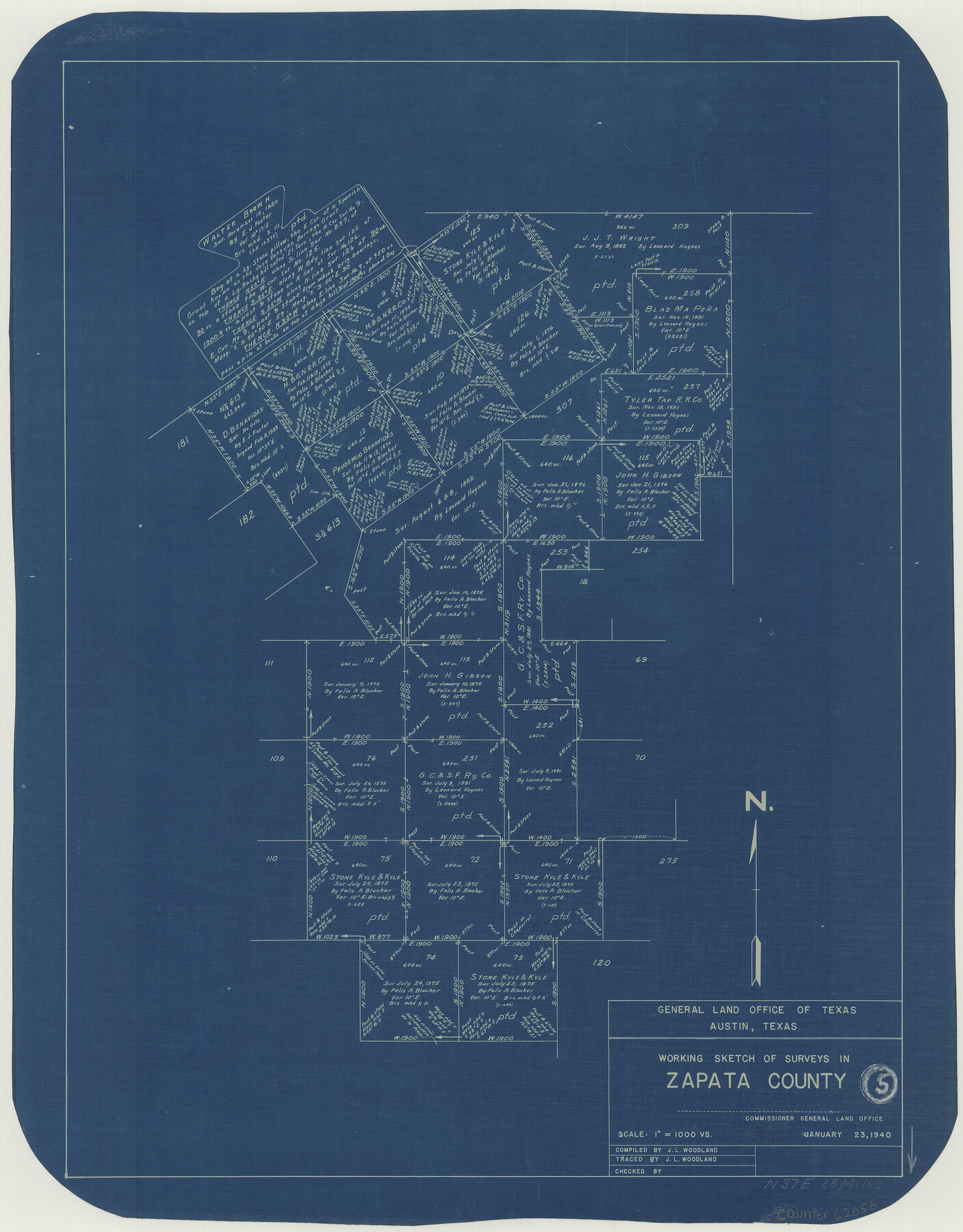
Zapata County Working Sketch 5
-
Map/Doc
62056
-
Collection
General Map Collection
-
Object Dates
1/23/1940 (Creation Date)
-
People and Organizations
J.L. Woodland (Draftsman)
-
Counties
Zapata
-
Subjects
Surveying Working Sketch
-
Height x Width
23.4 x 18.3 inches
59.4 x 46.5 cm
-
Scale
1" = 1000 varas
Part of: General Map Collection
Flight Mission No. DCL-6C, Frame 131, Kenedy County

Print $20.00
- Digital $50.00
Flight Mission No. DCL-6C, Frame 131, Kenedy County
1943
Size 18.7 x 22.3 inches
Map/Doc 85961
Jefferson County Working Sketch Graphic Index

Print $20.00
- Digital $50.00
Jefferson County Working Sketch Graphic Index
1978
Size 47.1 x 41.4 inches
Map/Doc 76595
Dimmit County Rolled Sketch 3

Print $20.00
- Digital $50.00
Dimmit County Rolled Sketch 3
Size 31.9 x 36.2 inches
Map/Doc 76142
Jasper County Working Sketch 25

Print $20.00
- Digital $50.00
Jasper County Working Sketch 25
1951
Size 21.6 x 32.3 inches
Map/Doc 66487

Burnet County Working Sketch 24

Print $20.00
- Digital $50.00
Burnet County Working Sketch 24
1990
Size 19.9 x 26.8 inches
Map/Doc 67867
Cameron County Rolled Sketch 16

Print $20.00
- Digital $50.00
Cameron County Rolled Sketch 16
Size 31.8 x 37.4 inches
Map/Doc 8569
[Surveys along the Nacogdoches River, Richland Creek, and the Trinity River]
![85, [Surveys along the Nacogdoches River, Richland Creek, and the Trinity River], General Map Collection](https://historictexasmaps.com/wmedia_w700/maps/85.tif.jpg)
Print $20.00
- Digital $50.00
[Surveys along the Nacogdoches River, Richland Creek, and the Trinity River]
1840
Size 24.2 x 17.9 inches
Map/Doc 85
Real County Working Sketch 16

Print $20.00
- Digital $50.00
Real County Working Sketch 16
1941
Size 28.2 x 40.1 inches
Map/Doc 71908
Grayson County Sketch File 3a

Print $20.00
- Digital $50.00
Grayson County Sketch File 3a
1855
Size 19.6 x 25.5 inches
Map/Doc 11580
Webb County Rolled Sketch 52

Print $20.00
- Digital $50.00
Webb County Rolled Sketch 52
1943
Size 37.8 x 29.3 inches
Map/Doc 8205

You may also like
General Highway Map, Archer County, Texas

Print $20.00
General Highway Map, Archer County, Texas
1961
Size 18.3 x 25.0 inches
Map/Doc 79353
Map of Maverick County

Print $20.00
- Digital $50.00
Map of Maverick County
1875
Size 36.3 x 23.7 inches
Map/Doc 3849
San Patricio County Rolled Sketch 4

Print $20.00
- Digital $50.00
San Patricio County Rolled Sketch 4
1875
Size 18.4 x 28.8 inches
Map/Doc 7572
Kaufman County Boundary File 1a

Print $8.00
- Digital $50.00
Kaufman County Boundary File 1a
Size 14.1 x 8.6 inches
Map/Doc 55907
Flake Addition a Subdivision of SE Part of NE Quarter Section 4, Block O

Print $20.00
- Digital $50.00
Flake Addition a Subdivision of SE Part of NE Quarter Section 4, Block O
Size 27.4 x 19.5 inches
Map/Doc 92823
Harris County Rolled Sketch 62

Print $20.00
- Digital $50.00
Harris County Rolled Sketch 62
1930
Size 29.9 x 28.7 inches
Map/Doc 6108
Wavel's [Wavell's] Register of Families
![94252, Wavel's [Wavell's] Register of Families, Historical Volumes](https://historictexasmaps.com/wmedia_w700/pdf_converted_jpg/qi_pdf_thumbnail_38893.jpg)
Wavel's [Wavell's] Register of Families
Size 13.2 x 9.2 inches
Map/Doc 94252
Brooks County Rolled Sketch 7

Print $20.00
- Digital $50.00
Brooks County Rolled Sketch 7
1916
Size 28.5 x 30.4 inches
Map/Doc 5336

Flight Mission No. DQN-3K, Frame 75, Calhoun County

Print $20.00
- Digital $50.00
Flight Mission No. DQN-3K, Frame 75, Calhoun County
1953
Size 18.6 x 22.4 inches
Map/Doc 84366
Survey and Location of the Corpus Christi & Rio Grande Railway Under Charter of May 24th 1873

Print $40.00
- Digital $50.00
Survey and Location of the Corpus Christi & Rio Grande Railway Under Charter of May 24th 1873
1874
Size 12.5 x 58.7 inches
Map/Doc 64092
Atascosa County Sketch File 33

Print $40.00
- Digital $50.00
Atascosa County Sketch File 33
1916
Size 24.9 x 19.7 inches
Map/Doc 10865