Cameron County Rolled Sketch 16
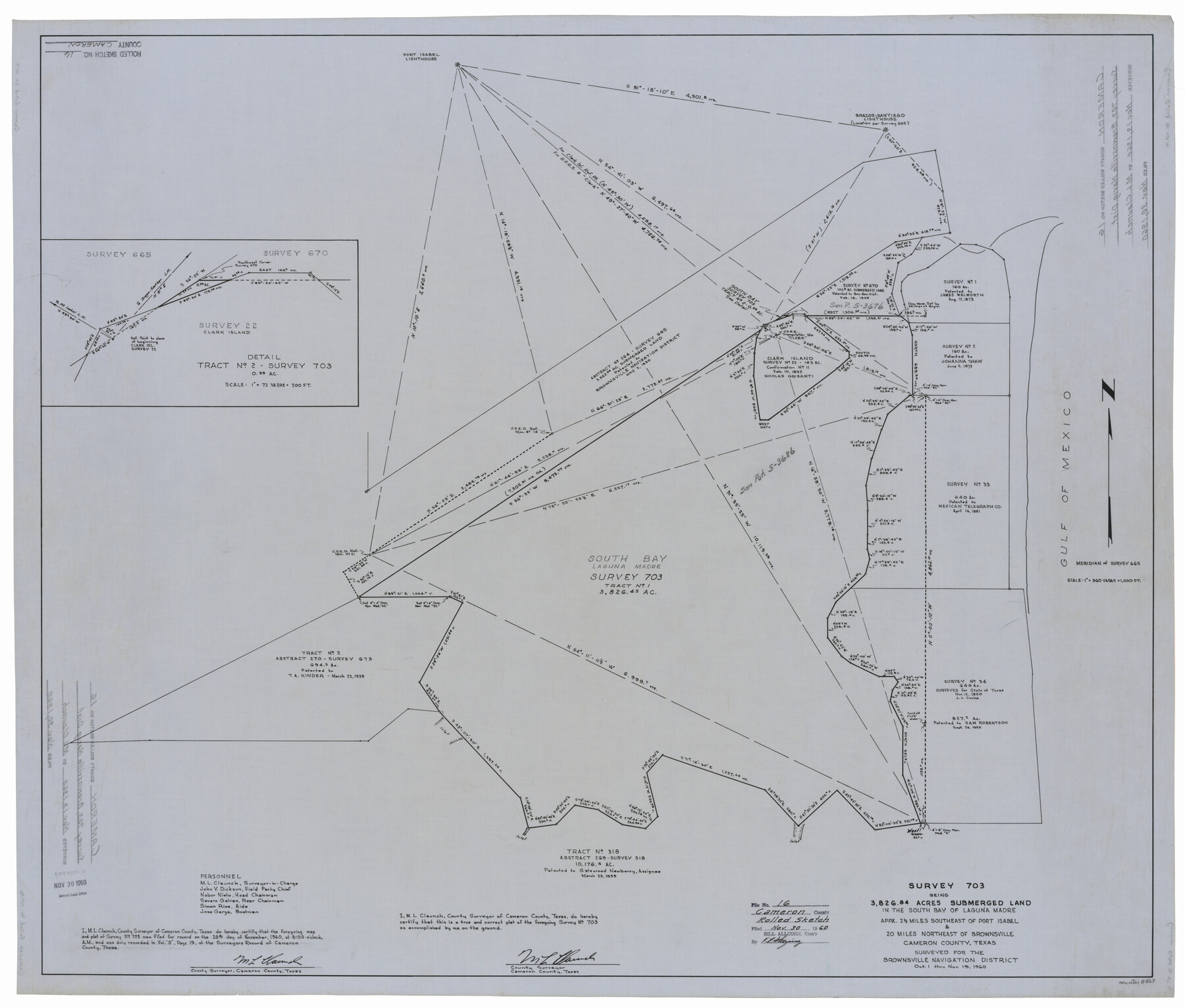
Survey 703 being 3,826.84 acres submerged land in the south bay of Laguna Madre
-
Map/Doc
8569
-
Collection
General Map Collection
-
Object Dates
1960/11/19 (Survey Date)
1960/11/30 (File Date)
-
People and Organizations
M.L. Claunch (Surveyor/Engineer)
John V. Dickson (Chainman/Field Personnel)
Nabor Nieto (Chainman/Field Personnel)
Severo Galvan (Chainman/Field Personnel)
Simon Rios (Chainman/Field Personnel)
Jose Garza (Chainman/Field Personnel)
-
Counties
Cameron
-
Subjects
Surveying Rolled Sketch
-
Height x Width
31.8 x 37.4 inches
80.8 x 95.0 cm
-
Medium
linen, manuscript
-
Scale
1" = 360 varas
Part of: General Map Collection
Grayson County Working Sketch 11

Print $20.00
- Digital $50.00
Grayson County Working Sketch 11
1951
Size 27.9 x 24.3 inches
Map/Doc 63250
Kendall County Working Sketch 2

Print $20.00
- Digital $50.00
Kendall County Working Sketch 2
1941
Size 28.6 x 21.1 inches
Map/Doc 66674
El Paso County Working Sketch 4

Print $20.00
- Digital $50.00
El Paso County Working Sketch 4
1916
Size 21.4 x 37.3 inches
Map/Doc 69026
Jack County Sketch File 1

Print $4.00
- Digital $50.00
Jack County Sketch File 1
Size 8.4 x 6.4 inches
Map/Doc 27499
Flight Mission No. DQO-12K, Frame 35, Galveston County

Print $20.00
- Digital $50.00
Flight Mission No. DQO-12K, Frame 35, Galveston County
1952
Size 18.7 x 22.4 inches
Map/Doc 85226
Erath County Working Sketch 52

Print $20.00
- Digital $50.00
Erath County Working Sketch 52
1992
Size 33.9 x 33.6 inches
Map/Doc 69134
Map of Williamson County

Print $20.00
- Digital $50.00
Map of Williamson County
1863
Size 22.7 x 29.7 inches
Map/Doc 4150
Flight Mission No. DQN-2K, Frame 50, Calhoun County

Print $20.00
- Digital $50.00
Flight Mission No. DQN-2K, Frame 50, Calhoun County
1953
Size 18.5 x 22.1 inches
Map/Doc 84255
Palo Pinto County Rolled Sketch 4

Print $20.00
- Digital $50.00
Palo Pinto County Rolled Sketch 4
Size 15.9 x 23.2 inches
Map/Doc 7189
Tyler County Rolled Sketch 8

Print $20.00
- Digital $50.00
Tyler County Rolled Sketch 8
1965
Size 18.1 x 25.4 inches
Map/Doc 8058
Callahan County Working Sketch 4

Print $20.00
- Digital $50.00
Callahan County Working Sketch 4
1953
Size 17.1 x 27.0 inches
Map/Doc 67886
Hardeman County Working Sketch 14

Print $20.00
- Digital $50.00
Hardeman County Working Sketch 14
Size 30.8 x 42.2 inches
Map/Doc 63395
You may also like
Terrell County Sketch File 12

Print $4.00
- Digital $50.00
Terrell County Sketch File 12
1903
Size 5.7 x 8.5 inches
Map/Doc 37922
Amistad International Reservoir on Rio Grande 85

Print $20.00
- Digital $50.00
Amistad International Reservoir on Rio Grande 85
1949
Size 28.4 x 40.2 inches
Map/Doc 75514
Map of Goliad County Texas

Print $20.00
- Digital $50.00
Map of Goliad County Texas
1879
Size 19.1 x 21.2 inches
Map/Doc 3589
Hood County Rolled Sketch 7

Print $20.00
- Digital $50.00
Hood County Rolled Sketch 7
2009
Size 19.1 x 24.5 inches
Map/Doc 89062
Tom Green County Boundary File 4

Print $70.00
- Digital $50.00
Tom Green County Boundary File 4
Size 8.8 x 6.8 inches
Map/Doc 59347
Fort Bend County Working Sketch 20

Print $20.00
- Digital $50.00
Fort Bend County Working Sketch 20
1967
Size 22.4 x 33.4 inches
Map/Doc 69226
Hall County Sketch File 7

Print $20.00
- Digital $50.00
Hall County Sketch File 7
1890
Size 12.0 x 22.4 inches
Map/Doc 11603
Deputy Surveyors Field Note Book, San Patricio County

Deputy Surveyors Field Note Book, San Patricio County
1838
Map/Doc 96675
Duval County Rolled Sketch 15

Print $20.00
- Digital $50.00
Duval County Rolled Sketch 15
1940
Size 38.7 x 27.1 inches
Map/Doc 5737
[Caddo Lake Area]
![91389, [Caddo Lake Area], Twichell Survey Records](https://historictexasmaps.com/wmedia_w700/maps/91389-1.tif.jpg)
Print $20.00
- Digital $50.00
[Caddo Lake Area]
1918
Size 28.4 x 35.3 inches
Map/Doc 91389
Shelby County, Texas

Print $40.00
- Digital $50.00
Shelby County, Texas
1897
Size 40.0 x 48.3 inches
Map/Doc 63032
