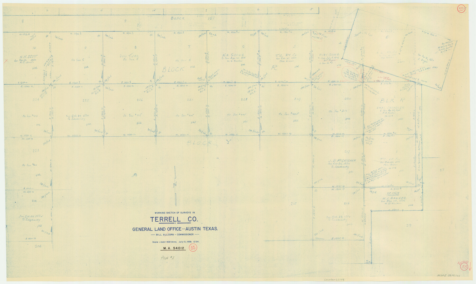
Terrell County Working Sketch 55
-
Map/Doc
62148
-
Collection
General Map Collection
-
Object Dates
7/13/1959 (Creation Date)
-
People and Organizations
Otto G. Kurio (Draftsman)
-
Counties
Terrell
-
Subjects
Surveying Working Sketch
-
Height x Width
25.9 x 43.4 inches
65.8 x 110.2 cm
-
Scale
1" = 400 varas
Part of: General Map Collection
Fannin County Sketch File 12

Print $4.00
- Digital $50.00
Fannin County Sketch File 12
Size 8.4 x 6.5 inches
Map/Doc 22460
Hutchinson County Rolled Sketch 40

Print $20.00
- Digital $50.00
Hutchinson County Rolled Sketch 40
1981
Size 26.0 x 37.4 inches
Map/Doc 6300
Mason County Rolled Sketch 8

Print $20.00
- Digital $50.00
Mason County Rolled Sketch 8
2010
Size 18.5 x 24.4 inches
Map/Doc 89283
Schleicher County Rolled Sketch 8

Print $20.00
- Digital $50.00
Schleicher County Rolled Sketch 8
Size 27.8 x 29.0 inches
Map/Doc 7750
Webb County Sketch File 71

Print $44.00
- Digital $50.00
Webb County Sketch File 71
Size 14.4 x 7.6 inches
Map/Doc 39888
Refugio County Working Sketch 3

Print $20.00
- Digital $50.00
Refugio County Working Sketch 3
1927
Size 21.9 x 24.6 inches
Map/Doc 63512
Map of Wichita Co.

Print $20.00
- Digital $50.00
Map of Wichita Co.
1897
Size 29.7 x 36.7 inches
Map/Doc 16925
Maverick County Working Sketch 11

Print $20.00
- Digital $50.00
Maverick County Working Sketch 11
1965
Size 41.4 x 35.8 inches
Map/Doc 70903
Hill County Sketch File 17

Print $4.00
- Digital $50.00
Hill County Sketch File 17
1860
Size 12.5 x 8.3 inches
Map/Doc 26484
San Patricio County Working Sketch Graphic Index

Print $20.00
- Digital $50.00
San Patricio County Working Sketch Graphic Index
1939
Size 36.6 x 47.9 inches
Map/Doc 76692
Crane County Rolled Sketch REE

Print $40.00
- Digital $50.00
Crane County Rolled Sketch REE
1936
Size 50.6 x 34.1 inches
Map/Doc 8681
Hill County Boundary File 45

Print $41.00
- Digital $50.00
Hill County Boundary File 45
Size 9.0 x 3.6 inches
Map/Doc 54743
You may also like
Anderson County Working Sketch 46

Print $20.00
- Digital $50.00
Anderson County Working Sketch 46
2000
Size 29.2 x 34.2 inches
Map/Doc 67046

Tyler County Working Sketch 16

Print $20.00
- Digital $50.00
Tyler County Working Sketch 16
1960
Size 46.0 x 41.8 inches
Map/Doc 69486
Hale County Working Sketch 4

Print $20.00
- Digital $50.00
Hale County Working Sketch 4
1979
Size 22.7 x 18.7 inches
Map/Doc 63324
Cottle County Working Sketch 5

Print $20.00
- Digital $50.00
Cottle County Working Sketch 5
1921
Size 13.5 x 25.5 inches
Map/Doc 68315
Township 4 South Ranges 12 and 13 West, South Western District, Louisiana

Print $20.00
- Digital $50.00
Township 4 South Ranges 12 and 13 West, South Western District, Louisiana
1879
Size 18.3 x 24.1 inches
Map/Doc 65890
Crosby County Sketch File 1a

Print $6.00
- Digital $50.00
Crosby County Sketch File 1a
1874
Size 11.0 x 14.2 inches
Map/Doc 19987
Runnels County Working Sketch 34

Print $20.00
- Digital $50.00
Runnels County Working Sketch 34
1974
Size 14.0 x 14.9 inches
Map/Doc 63632
Idalou Lubbock County Texas Located on North 1/2 Sections 2 & 41 Block D7

Print $20.00
- Digital $50.00
Idalou Lubbock County Texas Located on North 1/2 Sections 2 & 41 Block D7
Size 30.0 x 16.4 inches
Map/Doc 92872
Ward County Boundary File 2

Print $4.00
- Digital $50.00
Ward County Boundary File 2
Size 11.1 x 8.9 inches
Map/Doc 59673
South Part Brewster Co.

Print $40.00
- Digital $50.00
South Part Brewster Co.
Size 48.7 x 32.8 inches
Map/Doc 92468
[Sketch of J.D. Brown survey and vicinity]
![89965, [Sketch of J.D. Brown survey and vicinity], Twichell Survey Records](https://historictexasmaps.com/wmedia_w700/maps/89965-1.tif.jpg)
Print $40.00
- Digital $50.00
[Sketch of J.D. Brown survey and vicinity]
Size 43.5 x 63.0 inches
Map/Doc 89965