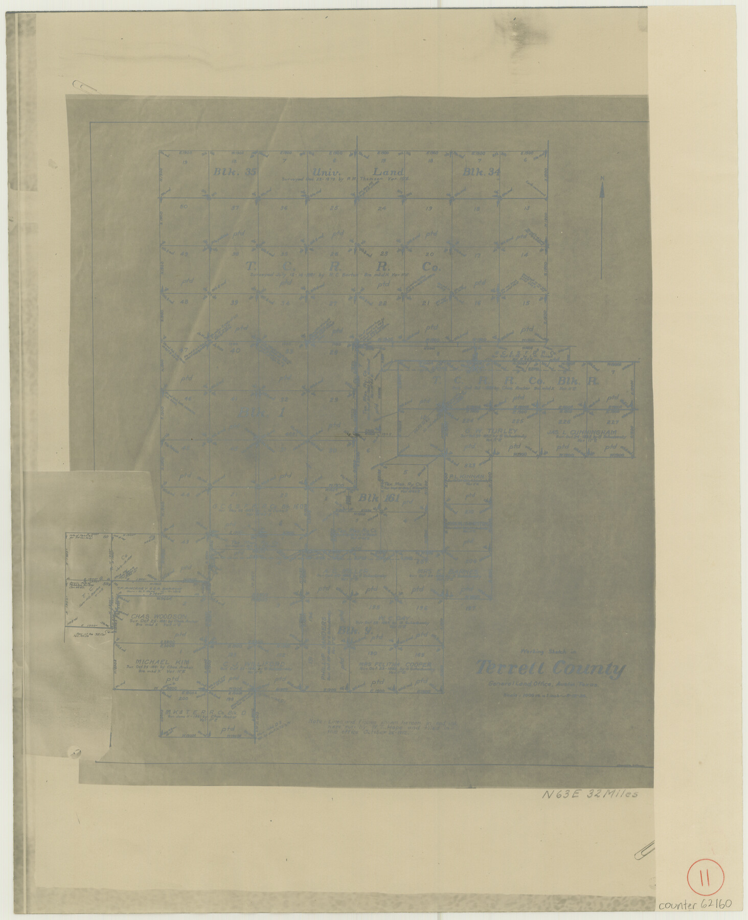
Terrell County Working Sketch 11
-
Map/Doc
62160
-
Collection
General Map Collection
-
Object Dates
9/12/1934 (Creation Date)
-
People and Organizations
J. Bascom Giles (Draftsman)
-
Counties
Terrell
-
Subjects
Surveying Working Sketch
-
Height x Width
18.5 x 15.0 inches
47.0 x 38.1 cm
-
Scale
1" = 1000 varas
Part of: General Map Collection
Flight Mission No. BRA-16M, Frame 62, Jefferson County

Print $20.00
- Digital $50.00
Flight Mission No. BRA-16M, Frame 62, Jefferson County
1953
Size 18.7 x 22.4 inches
Map/Doc 85679
Hopkins County Sketch File 7

Print $6.00
- Digital $50.00
Hopkins County Sketch File 7
Size 10.4 x 6.1 inches
Map/Doc 26692
Webb County Sketch File 9

Print $25.00
- Digital $50.00
Webb County Sketch File 9
1870
Size 9.5 x 8.5 inches
Map/Doc 39761
Flight Mission No. BRE-1P, Frame 71, Nueces County

Print $20.00
- Digital $50.00
Flight Mission No. BRE-1P, Frame 71, Nueces County
1956
Size 18.6 x 22.2 inches
Map/Doc 86653
San Patricio County Boundary File 77

Digital $50.00
San Patricio County Boundary File 77
Map/Doc 81963

Goliad County Rolled Sketch 2

Print $20.00
- Digital $50.00
Goliad County Rolled Sketch 2
1944
Size 33.1 x 34.6 inches
Map/Doc 9010
Chambers County Working Sketch 17

Print $20.00
- Digital $50.00
Chambers County Working Sketch 17
1964
Size 30.6 x 37.0 inches
Map/Doc 68000
Pecos County Sketch File 78

Print $6.00
- Digital $50.00
Pecos County Sketch File 78
1943
Size 11.1 x 8.8 inches
Map/Doc 33911
Harris County Historic Topographic 10

Print $20.00
- Digital $50.00
Harris County Historic Topographic 10
1916
Size 30.2 x 22.9 inches
Map/Doc 65820
Flight Mission No. DQN-7K, Frame 6, Calhoun County

Print $20.00
- Digital $50.00
Flight Mission No. DQN-7K, Frame 6, Calhoun County
1953
Size 18.8 x 22.4 inches
Map/Doc 84457
Bell County Working Sketch 5

Print $20.00
- Digital $50.00
Bell County Working Sketch 5
1942
Size 26.9 x 21.0 inches
Map/Doc 67345
You may also like
Galveston County NRC Article 33.136 Location Key Sheet

Print $20.00
- Digital $50.00
Galveston County NRC Article 33.136 Location Key Sheet
1974
Size 27.0 x 23.0 inches
Map/Doc 77022
Sterling County

Print $20.00
- Digital $50.00
Sterling County
1971
Size 45.6 x 33.9 inches
Map/Doc 95645
The Republic County of Fort Bend. December 29, 1845

Print $20.00
The Republic County of Fort Bend. December 29, 1845
2020
Size 14.7 x 21.6 inches
Map/Doc 96142
Yoakum County Sketch File 11

Print $4.00
- Digital $50.00
Yoakum County Sketch File 11
1914
Size 11.3 x 8.9 inches
Map/Doc 40763

Randall County Boundary File 5

Print $14.00
- Digital $50.00
Randall County Boundary File 5
Size 8.9 x 7.8 inches
Map/Doc 58134
Mexico and Guatemala

Print $20.00
- Digital $50.00
Mexico and Guatemala
1850
Size 14.6 x 17.9 inches
Map/Doc 93652
El Paso County Working Sketch 20

Print $20.00
- Digital $50.00
El Paso County Working Sketch 20
1960
Size 28.3 x 26.1 inches
Map/Doc 69042
Flight Mission No. DQN-2K, Frame 160, Calhoun County

Print $20.00
- Digital $50.00
Flight Mission No. DQN-2K, Frame 160, Calhoun County
1953
Size 18.6 x 22.3 inches
Map/Doc 84322
[John Gibbs and surrounding surveys]
![91161, [John Gibbs and surrounding surveys], Twichell Survey Records](https://historictexasmaps.com/wmedia_w700/maps/91161-1.tif.jpg)
Print $20.00
- Digital $50.00
[John Gibbs and surrounding surveys]
Size 18.8 x 22.8 inches
Map/Doc 91161
Map of the State of Texas

Print $20.00
- Digital $50.00
Map of the State of Texas
1876
Size 13.0 x 16.3 inches
Map/Doc 95891
Souvenir of the Picturesque Alamo City - San Antonio, Texas

Souvenir of the Picturesque Alamo City - San Antonio, Texas
1908
Map/Doc 96780