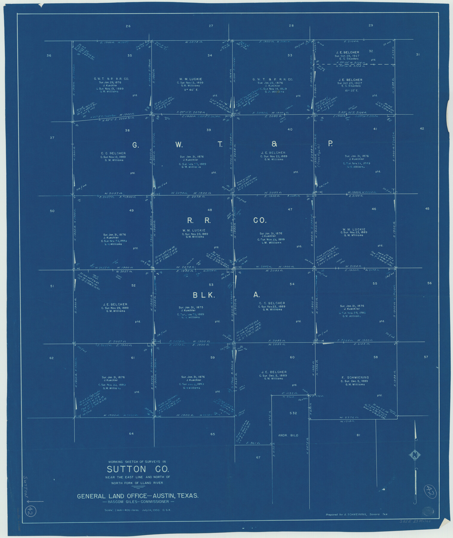
Sutton County Working Sketch 42
-
Map/Doc
62385
-
Collection
General Map Collection
-
Object Dates
7/14/1950 (Creation Date)
-
People and Organizations
Otto G. Kurio (Draftsman)
-
Counties
Sutton
-
Subjects
Surveying Working Sketch
-
Height x Width
34.5 x 29.1 inches
87.6 x 73.9 cm
-
Scale
1" = 400 varas
Part of: General Map Collection
Victoria County Sketch File 4

Print $7.00
- Digital $50.00
Victoria County Sketch File 4
1876
Size 10.1 x 8.2 inches
Map/Doc 39517
Schleicher County Sketch File 46

Print $4.00
- Digital $50.00
Schleicher County Sketch File 46
1958
Size 3.7 x 8.8 inches
Map/Doc 36554

Part of the boundary between the United States and Texas: north of Sabine River from the 36th to the 72nd mile mound (B.2)

Print $2.00
- Digital $50.00
Part of the boundary between the United States and Texas: north of Sabine River from the 36th to the 72nd mile mound (B.2)
1842
Size 12.7 x 8.9 inches
Map/Doc 65386
Flight Mission No. CUG-1P, Frame 170, Kleberg County

Print $20.00
- Digital $50.00
Flight Mission No. CUG-1P, Frame 170, Kleberg County
1956
Size 18.5 x 22.2 inches
Map/Doc 86177

Flight Mission No. BRE-4P, Frame 169, Nueces County

Print $20.00
- Digital $50.00
Flight Mission No. BRE-4P, Frame 169, Nueces County
1956
Size 18.5 x 22.6 inches
Map/Doc 86832
San Patricio County NRC Article 33.136 Sketch 5

Print $20.00
- Digital $50.00
San Patricio County NRC Article 33.136 Sketch 5
2006
Size 36.0 x 24.0 inches
Map/Doc 94697
Karnes County Working Sketch 1

Print $20.00
- Digital $50.00
Karnes County Working Sketch 1
1933
Size 19.4 x 15.3 inches
Map/Doc 66649
Menard County Working Sketch Graphic Index

Print $20.00
- Digital $50.00
Menard County Working Sketch Graphic Index
1942
Size 38.4 x 41.7 inches
Map/Doc 76640
Harrison County Sketch File 1

Print $26.00
- Digital $50.00
Harrison County Sketch File 1
1849
Size 8.2 x 7.7 inches
Map/Doc 26030
San Jacinto County Working Sketch 6

Print $20.00
- Digital $50.00
San Jacinto County Working Sketch 6
1934
Size 37.1 x 42.5 inches
Map/Doc 63719
You may also like

Travis County Rolled Sketch 14

Print $20.00
- Digital $50.00
Travis County Rolled Sketch 14
1939
Size 30.5 x 22.3 inches
Map/Doc 8017
Webb County Rolled Sketch 78A

Print $20.00
- Digital $50.00
Webb County Rolled Sketch 78A
Size 28.4 x 23.0 inches
Map/Doc 90053
Ward County Working Sketch 54

Print $40.00
- Digital $50.00
Ward County Working Sketch 54
1978
Size 24.1 x 48.8 inches
Map/Doc 72360
General Highway Map, Williamson County, Texas

Print $20.00
General Highway Map, Williamson County, Texas
1961
Size 24.8 x 18.2 inches
Map/Doc 79713
Anderson County Boundary File 3

Print $9.00
- Digital $50.00
Anderson County Boundary File 3
Size 14.3 x 8.8 inches
Map/Doc 49733
Crosby County Working Sketch 7

Print $20.00
- Digital $50.00
Crosby County Working Sketch 7
1938
Size 33.8 x 21.6 inches
Map/Doc 68441
Clay County Sketch File 15

Print $4.00
- Digital $50.00
Clay County Sketch File 15
1873
Size 12.8 x 8.4 inches
Map/Doc 18419
Flight Mission No. DIX-6P, Frame 123, Aransas County

Print $20.00
- Digital $50.00
Flight Mission No. DIX-6P, Frame 123, Aransas County
1956
Size 19.1 x 22.7 inches
Map/Doc 83829
[Sketch showing surveys on the north side of the Canadian River, Blocks B-11, L, O-18, and G and M 2 and 3]
![91737, [Sketch showing surveys on the north side of the Canadian River, Blocks B-11, L, O-18, and G and M 2 and 3], Twichell Survey Records](https://historictexasmaps.com/wmedia_w700/maps/91737-1.tif.jpg)
Print $20.00
- Digital $50.00
[Sketch showing surveys on the north side of the Canadian River, Blocks B-11, L, O-18, and G and M 2 and 3]
1883
Size 35.4 x 25.3 inches
Map/Doc 91737
General Highway Map, Yoakum County Texas

Print $20.00
- Digital $50.00
General Highway Map, Yoakum County Texas
1952
Size 26.3 x 19.1 inches
Map/Doc 92815
Crockett County Sketch File 25

Print $26.00
- Digital $50.00
Crockett County Sketch File 25
1881
Size 12.9 x 8.3 inches
Map/Doc 19703