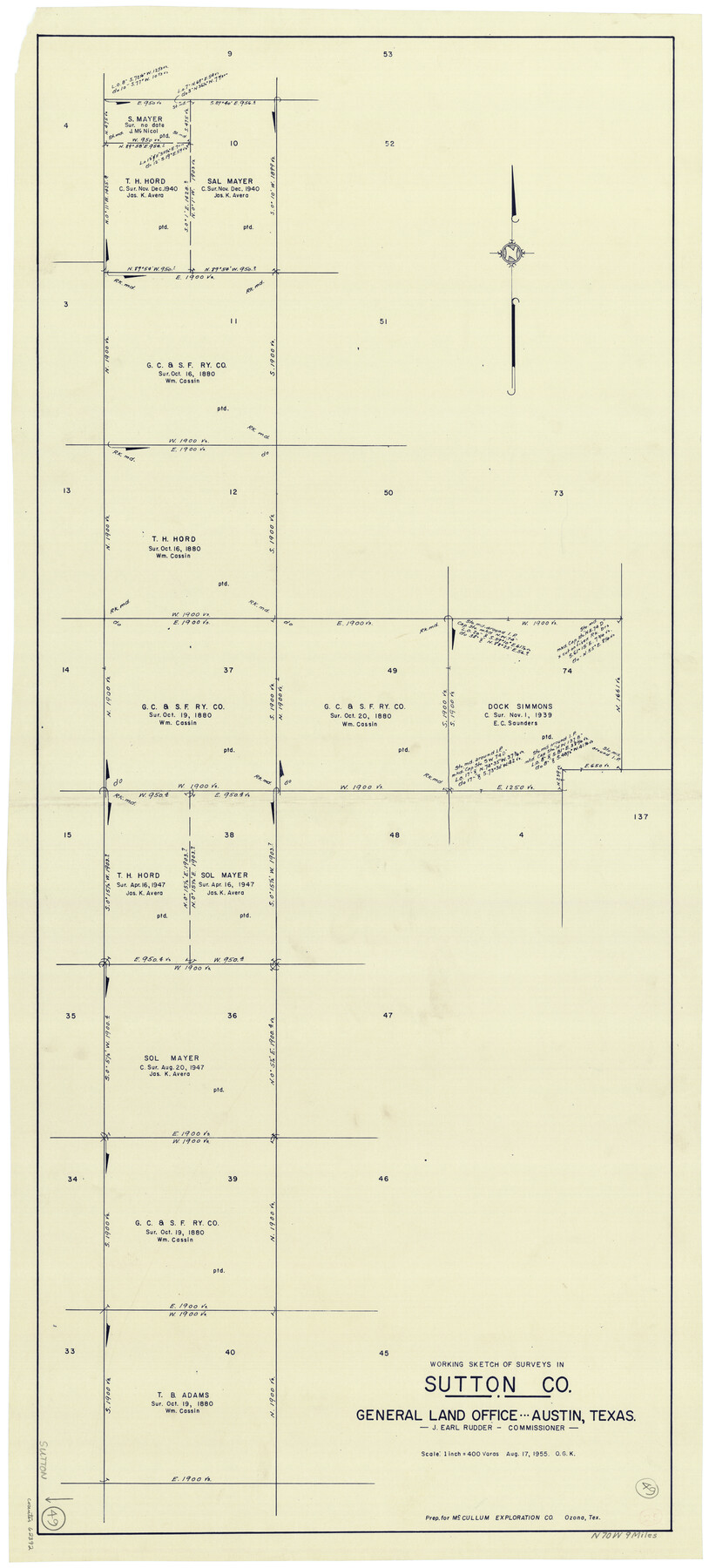
Sutton County Working Sketch 49
-
Map/Doc
62392
-
Collection
General Map Collection
-
Object Dates
8/17/1955 (Creation Date)
-
People and Organizations
Otto G. Kurio (Draftsman)
-
Counties
Sutton
-
Subjects
Surveying Working Sketch
-
Height x Width
43.3 x 19.5 inches
110.0 x 49.5 cm
-
Scale
1" = 400 varas
Part of: General Map Collection
Texas Coordinate File 3

Print $40.00
- Digital $50.00
Texas Coordinate File 3
Size 36.1 x 49.1 inches
Map/Doc 75306
Aransas County NRC Article 33.136 Location Key Sheet

Print $20.00
- Digital $50.00
Aransas County NRC Article 33.136 Location Key Sheet
1971
Size 27.0 x 23.0 inches
Map/Doc 88769
Flight Mission No. BQY-4M, Frame 61, Harris County

Print $20.00
- Digital $50.00
Flight Mission No. BQY-4M, Frame 61, Harris County
1953
Size 18.7 x 22.5 inches
Map/Doc 85270
Abandoned and Canceled Surveys - Volume 3 of 3, Counties L-Z

Abandoned and Canceled Surveys - Volume 3 of 3, Counties L-Z
Map/Doc 83250
Edwards County Working Sketch 113

Print $20.00
- Digital $50.00
Edwards County Working Sketch 113
1972
Size 39.1 x 36.0 inches
Map/Doc 68989
Yoakum County Sketch File 1

Print $10.00
- Digital $50.00
Yoakum County Sketch File 1
Size 9.4 x 8.3 inches
Map/Doc 40697
Brazoria County NRC Article 33.136 Sketch 27

Print $24.00
Brazoria County NRC Article 33.136 Sketch 27
2025
Map/Doc 97472
Nolan County Rolled Sketch W

Print $20.00
- Digital $50.00
Nolan County Rolled Sketch W
1902
Size 16.5 x 38.0 inches
Map/Doc 6863
Blanco County Working Sketch 1

Print $20.00
- Digital $50.00
Blanco County Working Sketch 1
Size 31.1 x 17.4 inches
Map/Doc 76449
Pecos County Rolled Sketch 30

Print $20.00
- Digital $50.00
Pecos County Rolled Sketch 30
1890
Size 39.2 x 30.7 inches
Map/Doc 9691
Reagan County Working Sketch 26

Print $20.00
- Digital $50.00
Reagan County Working Sketch 26
1960
Size 29.4 x 41.0 inches
Map/Doc 71868
Shackelford County Working Sketch 4

Print $20.00
- Digital $50.00
Shackelford County Working Sketch 4
1935
Size 24.8 x 36.7 inches
Map/Doc 63844
You may also like

[South part of Bailey County showing School Leagues]
![92992, [South part of Bailey County showing School Leagues], Twichell Survey Records](https://historictexasmaps.com/wmedia_w700/maps/92992-1.tif.jpg)
Print $2.00
- Digital $50.00
[South part of Bailey County showing School Leagues]
1913
Size 12.1 x 8.1 inches
Map/Doc 92992
[PSL A31-A26-A23]
![92451, [PSL A31-A26-A23], Twichell Survey Records](https://historictexasmaps.com/wmedia_w700/maps/92451-1.tif.jpg)
Print $20.00
- Digital $50.00
[PSL A31-A26-A23]
Size 23.7 x 19.3 inches
Map/Doc 92451
Hays County Sketch File 8

Print $4.00
- Digital $50.00
Hays County Sketch File 8
1848
Size 5.5 x 7.8 inches
Map/Doc 26210
King County Rolled Sketch 10

Print $20.00
- Digital $50.00
King County Rolled Sketch 10
Size 38.9 x 33.7 inches
Map/Doc 6532
Runnels County Rolled Sketch 28

Print $20.00
- Digital $50.00
Runnels County Rolled Sketch 28
1928
Size 19.8 x 39.4 inches
Map/Doc 7516
Nueces County Sketch File 22

Print $20.00
- Digital $50.00
Nueces County Sketch File 22
Size 19.0 x 31.0 inches
Map/Doc 42181
Motley County

Print $20.00
- Digital $50.00
Motley County
1966
Size 43.8 x 34.8 inches
Map/Doc 73247
Mileage Map of the Best Roads of Texas showing paved roads, road distances

Print $20.00
- Digital $50.00
Mileage Map of the Best Roads of Texas showing paved roads, road distances
1900
Size 21.7 x 28.7 inches
Map/Doc 95894
[Map of Area near Alamo showing proposed fortifications]
![88603, [Map of Area near Alamo showing proposed fortifications], National Archives Digital Map Collection](https://historictexasmaps.com/wmedia_w700/maps/88603.tif.jpg)
Print $20.00
[Map of Area near Alamo showing proposed fortifications]
1863
Size 31.9 x 27.7 inches
Map/Doc 88603
El Paso County Rolled Sketch 54

Print $20.00
- Digital $50.00
El Paso County Rolled Sketch 54
1980
Size 30.4 x 42.8 inches
Map/Doc 44539
Menard County Working Sketch 34

Print $20.00
- Digital $50.00
Menard County Working Sketch 34
2003
Size 27.1 x 44.4 inches
Map/Doc 82028