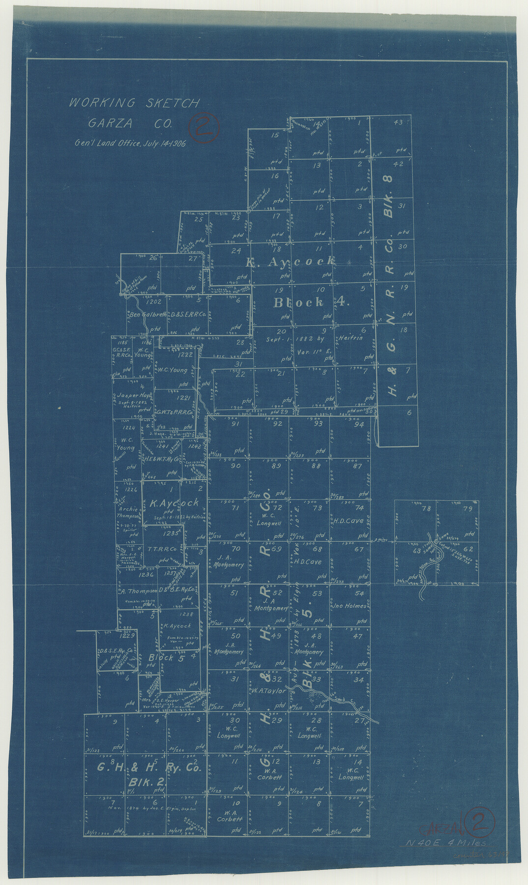
Garza County Working Sketch 2
-
Map/Doc
63149
-
Collection
General Map Collection
-
Object Dates
7/14/1906 (Creation Date)
-
Counties
Garza
-
Subjects
Surveying Working Sketch
-
Height x Width
20.2 x 12.1 inches
51.3 x 30.7 cm
Part of: General Map Collection
Wise County Sketch File 20

Print $14.00
- Digital $50.00
Wise County Sketch File 20
1860
Size 12.8 x 7.9 inches
Map/Doc 40557
Texas Official Highway Travel Map

Digital $50.00
Texas Official Highway Travel Map
Size 27.2 x 36.2 inches
Map/Doc 94305
Map of Robertson Co.

Print $20.00
- Digital $50.00
Map of Robertson Co.
1889
Size 44.0 x 39.1 inches
Map/Doc 3996
Hemphill County

Print $20.00
- Digital $50.00
Hemphill County
1878
Size 19.1 x 16.9 inches
Map/Doc 3661
Hunt County Rolled Sketch 5

Print $20.00
- Digital $50.00
Hunt County Rolled Sketch 5
1956
Size 27.6 x 24.8 inches
Map/Doc 6270
Real County Working Sketch 48

Print $20.00
- Digital $50.00
Real County Working Sketch 48
1956
Size 29.4 x 18.5 inches
Map/Doc 71940
Crosby County Sketch File 1

Print $4.00
- Digital $50.00
Crosby County Sketch File 1
Size 12.8 x 8.1 inches
Map/Doc 19985
Hardeman County Rolled Sketch 22

Print $20.00
- Digital $50.00
Hardeman County Rolled Sketch 22
Size 25.8 x 18.6 inches
Map/Doc 6073
Jim Hogg County Rolled Sketch EJ

Print $40.00
- Digital $50.00
Jim Hogg County Rolled Sketch EJ
1933
Size 50.7 x 37.0 inches
Map/Doc 9321
Flight Mission No. CUG-1P, Frame 24, Kleberg County

Print $20.00
- Digital $50.00
Flight Mission No. CUG-1P, Frame 24, Kleberg County
1956
Size 18.5 x 22.1 inches
Map/Doc 86114
Flight Mission No. BRA-7M, Frame 130, Jefferson County

Print $20.00
- Digital $50.00
Flight Mission No. BRA-7M, Frame 130, Jefferson County
1953
Size 16.2 x 16.0 inches
Map/Doc 85524
Flight Mission No. DQN-1K, Frame 42, Calhoun County

Print $20.00
- Digital $50.00
Flight Mission No. DQN-1K, Frame 42, Calhoun County
1953
Size 18.5 x 18.7 inches
Map/Doc 84142
You may also like
United States - Gulf Coast Texas - Northern part of Laguna Madre

Print $20.00
- Digital $50.00
United States - Gulf Coast Texas - Northern part of Laguna Madre
1941
Size 26.9 x 18.3 inches
Map/Doc 72938
Preliminary Chart of Entrance to Brazos River, Texas

Print $20.00
- Digital $50.00
Preliminary Chart of Entrance to Brazos River, Texas
Size 17.6 x 19.8 inches
Map/Doc 81986
Ector County Boundary File 4

Print $4.00
- Digital $50.00
Ector County Boundary File 4
Size 13.3 x 8.2 inches
Map/Doc 52845
Plat of surveys in El Paso Co. made for Maddox Bro's & Anderson and Gunter & Munson

Print $20.00
- Digital $50.00
Plat of surveys in El Paso Co. made for Maddox Bro's & Anderson and Gunter & Munson
Size 22.2 x 23.4 inches
Map/Doc 713
Wood County Working Sketch 15

Print $20.00
- Digital $50.00
Wood County Working Sketch 15
1981
Size 25.7 x 31.7 inches
Map/Doc 62015
Menard County Boundary File 11

Print $2.00
- Digital $50.00
Menard County Boundary File 11
Size 11.2 x 8.7 inches
Map/Doc 57098
Galveston County Sketch File 34a

Print $20.00
- Digital $50.00
Galveston County Sketch File 34a
Size 11.4 x 20.3 inches
Map/Doc 11537
Duval County Sketch File 84

Print $6.00
- Digital $50.00
Duval County Sketch File 84
1945
Size 14.4 x 8.9 inches
Map/Doc 21531
Stephens County Sketch File 9a

Print $4.00
- Digital $50.00
Stephens County Sketch File 9a
1884
Size 8.6 x 8.2 inches
Map/Doc 37040
McLennan County School Land Leagues 3 & 4

Print $20.00
- Digital $50.00
McLennan County School Land Leagues 3 & 4
Size 10.7 x 18.2 inches
Map/Doc 90930
Childress County Rolled Sketch 12

Print $20.00
- Digital $50.00
Childress County Rolled Sketch 12
1940
Size 44.2 x 11.3 inches
Map/Doc 8603
Crane County Rolled Sketch 21

Print $20.00
- Digital $50.00
Crane County Rolled Sketch 21
1988
Size 42.5 x 36.6 inches
Map/Doc 8685