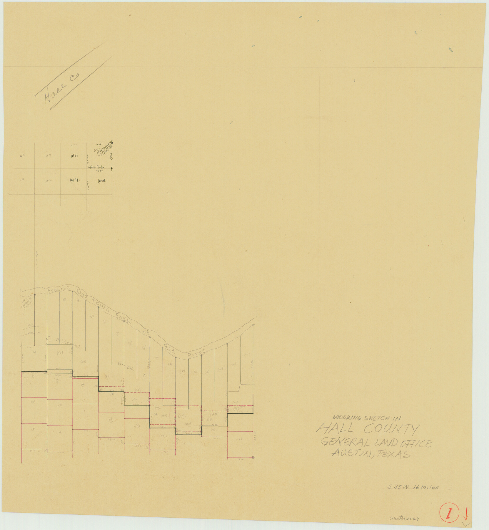
Hall County Working Sketch 1
-
Map/Doc
63329
-
Collection
General Map Collection
-
Counties
Hall
-
Subjects
Surveying Working Sketch
-
Height x Width
19.5 x 18.0 inches
49.5 x 45.7 cm
Part of: General Map Collection
Bailey County Sketch File 3

Print $22.00
- Digital $50.00
Bailey County Sketch File 3
1901
Size 8.9 x 6.8 inches
Map/Doc 13937
Bandera County Working Sketch 34

Print $20.00
- Digital $50.00
Bandera County Working Sketch 34
1963
Size 36.5 x 29.2 inches
Map/Doc 67630
Chicago, Rock Island, Texas & Mexico

Print $40.00
- Digital $50.00
Chicago, Rock Island, Texas & Mexico
1920
Size 25.9 x 120.3 inches
Map/Doc 64422
Right-of-Way and Track Map, Houston and Brazos Valley Ry. Co. operated by the Houston and Brazos Valley Ry. Co.

Print $40.00
- Digital $50.00
Right-of-Way and Track Map, Houston and Brazos Valley Ry. Co. operated by the Houston and Brazos Valley Ry. Co.
1918
Size 24.9 x 56.4 inches
Map/Doc 64602
[Maps of surveys in Reeves & Culberson Cos]
![61131, [Maps of surveys in Reeves & Culberson Cos], General Map Collection](https://historictexasmaps.com/wmedia_w700/maps/61131.tif.jpg)
Print $20.00
- Digital $50.00
[Maps of surveys in Reeves & Culberson Cos]
1937
Size 30.6 x 24.8 inches
Map/Doc 61131
Gaines County Sketch File 11

Print $6.00
- Digital $50.00
Gaines County Sketch File 11
1943
Size 7.3 x 8.9 inches
Map/Doc 23195
Lee County Working Sketch 18

Print $20.00
- Digital $50.00
Lee County Working Sketch 18
1989
Size 18.3 x 17.2 inches
Map/Doc 70397
Ride the Texas Mountain Trail [Verso]
![94165, Ride the Texas Mountain Trail [Verso], General Map Collection](https://historictexasmaps.com/wmedia_w700/maps/94165.tif.jpg)
Ride the Texas Mountain Trail [Verso]
1968
Size 18.3 x 24.4 inches
Map/Doc 94165
Hudspeth County Working Sketch 3

Print $20.00
- Digital $50.00
Hudspeth County Working Sketch 3
1913
Size 20.4 x 17.2 inches
Map/Doc 66284
Land grants from the state of Tamaulipas in the trans-Nueces

Land grants from the state of Tamaulipas in the trans-Nueces
2009
Size 11.0 x 8.5 inches
Map/Doc 94040
Hill County Sketch File 16

Print $4.00
- Digital $50.00
Hill County Sketch File 16
1860
Size 9.9 x 8.3 inches
Map/Doc 26482
Montgomery County Sketch File 2

Print $8.00
- Digital $50.00
Montgomery County Sketch File 2
1846
Size 12.7 x 8.0 inches
Map/Doc 31764
You may also like
Henderson County Working Sketch 17

Print $20.00
- Digital $50.00
Henderson County Working Sketch 17
1937
Size 27.3 x 27.4 inches
Map/Doc 66150
Sundown Located on Tracts Number 58 and 59 Bob Slaughter Block Hockley County, Texas

Print $20.00
- Digital $50.00
Sundown Located on Tracts Number 58 and 59 Bob Slaughter Block Hockley County, Texas
1928
Size 21.4 x 19.4 inches
Map/Doc 92233
Flight Mission No. BQR-7K, Frame 23, Brazoria County

Print $20.00
- Digital $50.00
Flight Mission No. BQR-7K, Frame 23, Brazoria County
1952
Size 18.4 x 22.2 inches
Map/Doc 84021
Flight Mission No. DQO-2K, Frame 88, Galveston County

Print $20.00
- Digital $50.00
Flight Mission No. DQO-2K, Frame 88, Galveston County
1952
Size 18.8 x 22.5 inches
Map/Doc 85015
Kerr County Sketch File 9

Print $8.00
- Digital $50.00
Kerr County Sketch File 9
1884
Size 10.2 x 8.2 inches
Map/Doc 28873
Stephens County Sketch File 25

Print $35.00
- Digital $50.00
Stephens County Sketch File 25
1875
Size 11.0 x 15.9 inches
Map/Doc 37090
Flight Mission No. CRK-7P, Frame 27, Refugio County

Print $20.00
- Digital $50.00
Flight Mission No. CRK-7P, Frame 27, Refugio County
1956
Size 18.3 x 22.1 inches
Map/Doc 86947
America with those known parts in that unknowne worlde both people and manner of buildings

Print $20.00
- Digital $50.00
America with those known parts in that unknowne worlde both people and manner of buildings
1626
Size 17.2 x 22.3 inches
Map/Doc 93830
Liberty County Sketch File 64

Print $4.00
- Digital $50.00
Liberty County Sketch File 64
1873
Size 9.9 x 7.9 inches
Map/Doc 30126
Bandera County Working Sketch 17

Print $20.00
- Digital $50.00
Bandera County Working Sketch 17
1943
Size 21.2 x 27.5 inches
Map/Doc 67613
Travis County Rolled Sketch 34

Print $20.00
- Digital $50.00
Travis County Rolled Sketch 34
1949
Size 22.9 x 25.2 inches
Map/Doc 8035
Liberty County Working Sketch 7

Print $20.00
- Digital $50.00
Liberty County Working Sketch 7
1906
Size 22.2 x 24.8 inches
Map/Doc 70466