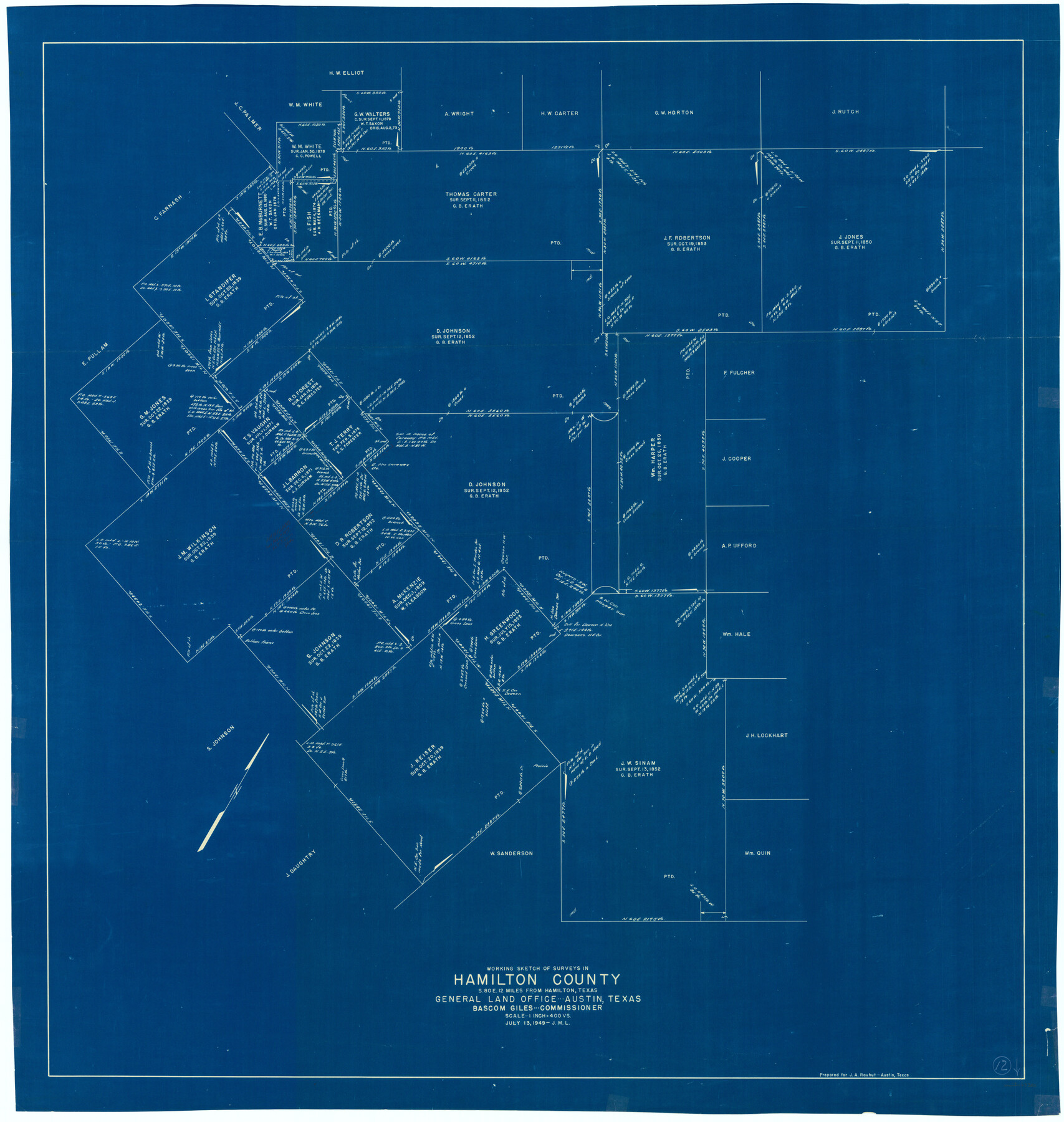
Hamilton County Working Sketch 12
-
Map/Doc
63350
-
Collection
General Map Collection
-
Object Dates
7/13/1949 (Creation Date)
-
Counties
Hamilton
-
Subjects
Surveying Working Sketch
-
Height x Width
43.9 x 41.7 inches
111.5 x 105.9 cm
-
Scale
1" = 400 varas
Part of: General Map Collection
Connected Map of Austin's Colony

Print $20.00
- Digital $50.00
Connected Map of Austin's Colony
1892
Size 47.5 x 43.0 inches
Map/Doc 76074
Orange County Working Sketch 8

Print $20.00
- Digital $50.00
Orange County Working Sketch 8
1922
Size 20.7 x 24.3 inches
Map/Doc 71340

Louisiana and Texas Intracoastal Waterway, Section 7, Galveston Bay to Brazos River and Section 8, Brazos River to Matagorda Bay

Print $20.00
- Digital $50.00
Louisiana and Texas Intracoastal Waterway, Section 7, Galveston Bay to Brazos River and Section 8, Brazos River to Matagorda Bay
1929
Size 30.8 x 43.0 inches
Map/Doc 61841
Glasscock County Rolled Sketch 5

Print $20.00
- Digital $50.00
Glasscock County Rolled Sketch 5
1944
Size 41.4 x 33.7 inches
Map/Doc 6016
Right-of-Way and Track Map, Houston and Brazos Valley Ry. Co. operated by the Houston and Brazos Valley Ry. Co.

Print $40.00
- Digital $50.00
Right-of-Way and Track Map, Houston and Brazos Valley Ry. Co. operated by the Houston and Brazos Valley Ry. Co.
1918
Size 24.9 x 56.5 inches
Map/Doc 64607
Sabine County Working Sketch 3

Print $3.00
- Digital $50.00
Sabine County Working Sketch 3
1911
Size 10.8 x 15.7 inches
Map/Doc 63674
Sutton County Rolled Sketch 70

Print $40.00
- Digital $50.00
Sutton County Rolled Sketch 70
Size 48.7 x 37.0 inches
Map/Doc 9982
Shackelford County Sketch File 6

Print $20.00
- Digital $50.00
Shackelford County Sketch File 6
Size 14.8 x 24.5 inches
Map/Doc 81981
Flight Mission No. CUG-3P, Frame 131, Kleberg County

Print $20.00
- Digital $50.00
Flight Mission No. CUG-3P, Frame 131, Kleberg County
1956
Size 18.7 x 22.4 inches
Map/Doc 86266
Gillespie County Sketch File 16

Print $20.00
- Digital $50.00
Gillespie County Sketch File 16
1951
Size 18.2 x 17.9 inches
Map/Doc 11557
El Paso County Rolled Sketch 49

Print $40.00
- Digital $50.00
El Paso County Rolled Sketch 49
Size 10.5 x 104.9 inches
Map/Doc 76061
You may also like
Working Sketch in Cottle, Foard & Hardeman Counties

Print $20.00
- Digital $50.00
Working Sketch in Cottle, Foard & Hardeman Counties
1917
Size 26.9 x 28.0 inches
Map/Doc 4485
Flight Mission No. CRK-8P, Frame 116, Refugio County

Print $20.00
- Digital $50.00
Flight Mission No. CRK-8P, Frame 116, Refugio County
1956
Size 18.3 x 22.1 inches
Map/Doc 86971
Live Oak County Sketch File 18

Print $11.00
- Digital $50.00
Live Oak County Sketch File 18
1895
Size 10.5 x 17.0 inches
Map/Doc 30284
Hemphill County Rolled Sketch 15A

Print $20.00
- Digital $50.00
Hemphill County Rolled Sketch 15A
1961
Size 26.6 x 17.3 inches
Map/Doc 6195
Culberson County Working Sketch 16

Print $20.00
- Digital $50.00
Culberson County Working Sketch 16
1926
Size 17.5 x 23.4 inches
Map/Doc 68468
Ector County Working Sketch 4

Print $20.00
- Digital $50.00
Ector County Working Sketch 4
1940
Size 25.8 x 30.0 inches
Map/Doc 68847
Live Oak County Working Sketch 14

Print $20.00
- Digital $50.00
Live Oak County Working Sketch 14
1949
Size 27.9 x 42.1 inches
Map/Doc 70599
Andrews County Working Sketch 23

Print $20.00
- Digital $50.00
Andrews County Working Sketch 23
1979
Size 26.6 x 27.7 inches
Map/Doc 67069
Tarrant County Rolled Sketch 2

Print $40.00
- Digital $50.00
Tarrant County Rolled Sketch 2
Size 91.5 x 13.4 inches
Map/Doc 78246
Nueces County Sketch File 37

Print $2.00
- Digital $50.00
Nueces County Sketch File 37
1913
Size 11.2 x 8.6 inches
Map/Doc 32614
Aransas County Boundary File 1

Print $14.00
- Digital $50.00
Aransas County Boundary File 1
Size 14.2 x 8.6 inches
Map/Doc 49774
In the Supreme Court of the United States, The State of Oklahoma, Complainant vs. The State of Texas, Defendant, The United States of America, Intervener, Red River Valley, Texas and Oklahoma Between the 98th and 100th Meridians in Five Sheets, 1921

Print $40.00
- Digital $50.00
In the Supreme Court of the United States, The State of Oklahoma, Complainant vs. The State of Texas, Defendant, The United States of America, Intervener, Red River Valley, Texas and Oklahoma Between the 98th and 100th Meridians in Five Sheets, 1921
1921
Size 37.2 x 59.5 inches
Map/Doc 75274