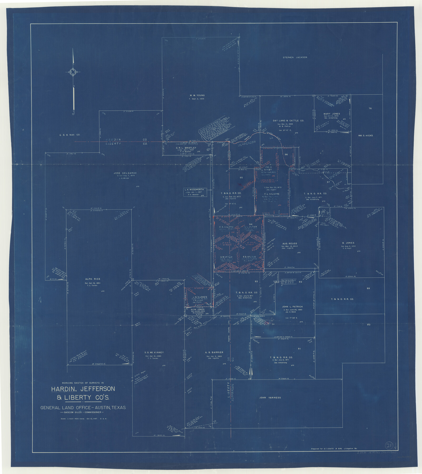
Hardin County Working Sketch 21
- 
                          Map/Doc
63419
 - 
                            Collection
General Map Collection
 - 
                            Object Dates
10/15/1947 (Creation Date)
 - 
                            People and Organizations
Otto G. Kurio (Draftsman)
 - 
                            Counties
Hardin Jefferson Liberty
 - 
                            Subjects
Surveying Working Sketch
 - 
                            Height x Width
43.2 x 38.4 inches
109.7 x 97.5 cm
 - 
                            Scale
1" = 400 varas
 
Part of: General Map Collection
            Intracoastal Waterway - Laguna Madre - Chubby Island to Stover Point including the Arroyo Colorado, Texas


                                            Print $20.00                    
                                             -                         Digital $50.00                                    
                Intracoastal Waterway - Laguna Madre - Chubby Island to Stover Point including the Arroyo Colorado, Texas
1976
Size 16.0 x 43.9 inches
                                Map/Doc 75901
            
            Refugio County Sketch File 9


                                            Print $4.00                    
                                             -                         Digital $50.00                                    
                Refugio County Sketch File 9
1850
Size 5.5 x 7.6 inches
                                Map/Doc 35256
            
            Hunt County Sketch File 29


                                            Print $4.00                    
                                             -                         Digital $50.00                                    
                Hunt County Sketch File 29
Size 7.4 x 7.8 inches
                                Map/Doc 27130
            
            Midland County Rolled Sketch REE


                                            Print $20.00                    
                                             -                         Digital $50.00                                    
                Midland County Rolled Sketch REE
1937
Size 27.1 x 24.3 inches
                                Map/Doc 6771
            
            Kinney County Sketch File 18


                                            Print $20.00                    
                                             -                         Digital $50.00                                    
                Kinney County Sketch File 18
Size 29.0 x 25.2 inches
                                Map/Doc 11943
            
            Hutchinson County Working Sketch 15


                                            Print $20.00                    
                                             -                         Digital $50.00                                    
                Hutchinson County Working Sketch 15
1949
Size 26.4 x 15.4 inches
                                Map/Doc 66373
            
            Duval County Boundary File 2


                                            Print $32.00                    
                                             -                         Digital $50.00                                    
                Duval County Boundary File 2
Size 12.4 x 8.1 inches
                                Map/Doc 52703
            
            Brewster County Rolled Sketch 131


                                            Print $20.00                    
                                             -                         Digital $50.00                                    
                Brewster County Rolled Sketch 131
1975
Size 30.0 x 32.3 inches
                                Map/Doc 8522
            
            Nueces County Sketch File 72


                                            Print $13.00                    
                                             -                         Digital $50.00                                    
                Nueces County Sketch File 72
1991
Size 11.1 x 8.8 inches
                                Map/Doc 33020
            
            Map of the State of Texas Showing Original Land Districts


                                            Print $20.00                    
                                             -                         Digital $50.00                                    
                Map of the State of Texas Showing Original Land Districts
1891
Size 42.2 x 42.4 inches
                                Map/Doc 2138
            
            Chambers County Sketch File 19


                                            Print $26.00                    
                                             -                         Digital $50.00                                    
                Chambers County Sketch File 19
Size 14.1 x 8.6 inches
                                Map/Doc 17578
            You may also like
            Flight Mission No. DQN-5K, Frame 142, Calhoun County


                                            Print $20.00                    
                                             -                         Digital $50.00                                    
                Flight Mission No. DQN-5K, Frame 142, Calhoun County
1953
Size 18.5 x 22.1 inches
                                Map/Doc 84417
            
            Hemphill County Working Sketch Graphic Index - sheet 2


                                            Print $20.00                    
                                             -                         Digital $50.00                                    
                Hemphill County Working Sketch Graphic Index - sheet 2
1899
Size 40.2 x 38.2 inches
                                Map/Doc 76575
            
            Panola County Sketch File 21


                                            Print $10.00                    
                                             -                         Digital $50.00                                    
                Panola County Sketch File 21
Size 11.2 x 8.7 inches
                                Map/Doc 33487
            
            Bien & Sterner's New Rail Road Map of the United States and the Canadas compiled from the latest surveys & locations under the direction of Zerah Colburn Esq., editor of the Rail Road Advocate


                                            Print $20.00                    
                                             -                         Digital $50.00                                    
                Bien & Sterner's New Rail Road Map of the United States and the Canadas compiled from the latest surveys & locations under the direction of Zerah Colburn Esq., editor of the Rail Road Advocate
1855
Size 27.5 x 32.3 inches
                                Map/Doc 95963
            
            Gonzales County Boundary File 2


                                            Print $7.00                    
                                             -                         Digital $50.00                                    
                Gonzales County Boundary File 2
Size 14.4 x 9.0 inches
                                Map/Doc 53829
            
            Chambers County Sketch File 5


                                            Print $2.00                    
                                             -                         Digital $50.00                                    
                Chambers County Sketch File 5
Size 7.2 x 6.3 inches
                                Map/Doc 17539
            
            Flight Mission No. DCL-6C, Frame 115, Kenedy County


                                            Print $20.00                    
                                             -                         Digital $50.00                                    
                Flight Mission No. DCL-6C, Frame 115, Kenedy County
1943
Size 18.5 x 22.4 inches
                                Map/Doc 85945
            
            Gillespie County


                                            Print $40.00                    
                                             -                         Digital $50.00                                    
                Gillespie County
1887
Size 34.6 x 49.8 inches
                                Map/Doc 66836
            
            Nueces County Rolled Sketch 99


                                            Print $92.00                    
                                    
                Nueces County Rolled Sketch 99
1985
Size 24.2 x 36.6 inches
                                Map/Doc 7060
            
            Subdivision Map of Childress County  School Land Situated in Bailey and Cochran Counties,  Texas


                                            Print $20.00                    
                                             -                         Digital $50.00                                    
                Subdivision Map of Childress County School Land Situated in Bailey and Cochran Counties, Texas
Size 23.0 x 26.4 inches
                                Map/Doc 92526
            
            Flight Mission No. DQO-8K, Frame 20, Galveston County


                                            Print $20.00                    
                                             -                         Digital $50.00                                    
                Flight Mission No. DQO-8K, Frame 20, Galveston County
1952
Size 18.8 x 22.3 inches
                                Map/Doc 85143
            
            Polk County Sketch File 38


                                            Print $20.00                    
                                             -                         Digital $50.00                                    
                Polk County Sketch File 38
Size 13.9 x 8.8 inches
                                Map/Doc 34268