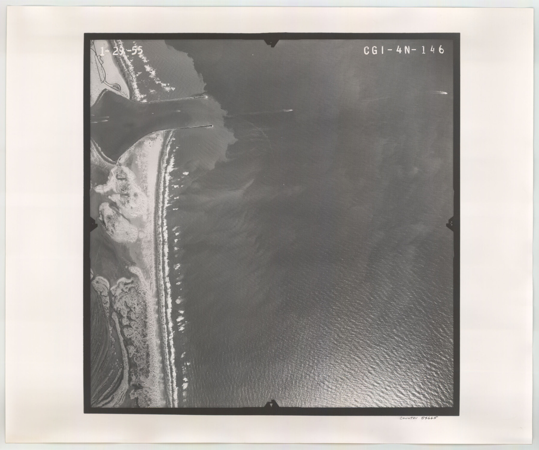
Flight Mission No. CGI-4N, Frame 146, Cameron County
CGI-4N-146
-
Map/Doc
84665
-
Collection
General Map Collection
-
Object Dates
1955/1/29 (Creation Date)
-
People and Organizations
U. S. Department of Agriculture (Publisher)
-
Counties
Cameron
-
Subjects
Aerial Photograph
-
Height x Width
18.7 x 22.3 inches
47.5 x 56.6 cm
-
Comments
Flown by Puckett Aerial Surveys, Inc. of Jackson, Mississippi.
Part of: General Map Collection

Flight Mission No. CRC-5R, Frame 19, Chambers County

Print $20.00
- Digital $50.00
Flight Mission No. CRC-5R, Frame 19, Chambers County
1956
Size 18.8 x 22.4 inches
Map/Doc 84941
Pecos County Rolled Sketch 90A

Print $20.00
- Digital $50.00
Pecos County Rolled Sketch 90A
1934
Size 27.0 x 31.1 inches
Map/Doc 7246
Brewster County Sketch File N-28

Print $40.00
- Digital $50.00
Brewster County Sketch File N-28
Size 23.4 x 24.3 inches
Map/Doc 10973
Potter County

Print $20.00
- Digital $50.00
Potter County
1909
Size 47.5 x 40.8 inches
Map/Doc 66984
Matagorda County Rolled Sketch 22

Print $20.00
- Digital $50.00
Matagorda County Rolled Sketch 22
Size 30.7 x 23.9 inches
Map/Doc 6689
Childress County Sketch File 16a

Print $16.00
- Digital $50.00
Childress County Sketch File 16a
1901
Size 13.3 x 8.3 inches
Map/Doc 18309
Crosby County Sketch File 11a

Print $10.00
- Digital $50.00
Crosby County Sketch File 11a
1894
Size 8.7 x 4.4 inches
Map/Doc 20029
Newton County Sketch File 43

Print $12.00
- Digital $50.00
Newton County Sketch File 43
1944
Size 11.2 x 8.6 inches
Map/Doc 32435
Irion County Rolled Sketch 3

Print $20.00
- Digital $50.00
Irion County Rolled Sketch 3
Size 26.2 x 27.5 inches
Map/Doc 6318
Bexar County Working Sketch 18

Print $20.00
- Digital $50.00
Bexar County Working Sketch 18
1979
Size 22.6 x 18.3 inches
Map/Doc 67334

You may also like
Copy of Surveyor's Field Book, Morris Browning - In Blocks 7, 5 & 4, I&GNRRCo., Hutchinson and Carson Counties, Texas

Print $2.00
- Digital $50.00
Copy of Surveyor's Field Book, Morris Browning - In Blocks 7, 5 & 4, I&GNRRCo., Hutchinson and Carson Counties, Texas
1888
Size 7.0 x 8.8 inches
Map/Doc 62270
Right of Way and Track Map, the Missouri, Kansas and Texas Ry. of Texas operated by the Missouri, Kansas and Texas Ry. of Texas, San Antonio Division

Print $40.00
- Digital $50.00
Right of Way and Track Map, the Missouri, Kansas and Texas Ry. of Texas operated by the Missouri, Kansas and Texas Ry. of Texas, San Antonio Division
1918
Size 25.6 x 58.7 inches
Map/Doc 64581
Map of the City of Barry, John McGowan & J.B. & A. Adams Surveys, Navarro County, Texas

Print $20.00
- Digital $50.00
Map of the City of Barry, John McGowan & J.B. & A. Adams Surveys, Navarro County, Texas
1958
Size 28.4 x 25.4 inches
Map/Doc 94015
Maps of Gulf Intracoastal Waterway, Texas - Sabine River to the Rio Grande and connecting waterways including ship channels

Print $20.00
- Digital $50.00
Maps of Gulf Intracoastal Waterway, Texas - Sabine River to the Rio Grande and connecting waterways including ship channels
1966
Size 15.6 x 22.0 inches
Map/Doc 61984
Flight Mission No. DQN-2K, Frame 143, Calhoun County

Print $20.00
- Digital $50.00
Flight Mission No. DQN-2K, Frame 143, Calhoun County
1953
Size 18.7 x 22.3 inches
Map/Doc 84312
Cooke County Rolled Sketch 8

Print $20.00
- Digital $50.00
Cooke County Rolled Sketch 8
2003
Size 24.5 x 36.2 inches
Map/Doc 78649
[Leagues 116 through 161, Leagues 165, 181, and 182]
![92484, [Leagues 116 through 161, Leagues 165, 181, and 182], Twichell Survey Records](https://historictexasmaps.com/wmedia_w700/maps/92484-1.tif.jpg)
Print $20.00
- Digital $50.00
[Leagues 116 through 161, Leagues 165, 181, and 182]
Size 17.8 x 23.7 inches
Map/Doc 92484
Anderson County Sketch File 19

Print $40.00
- Digital $50.00
Anderson County Sketch File 19
Size 18.2 x 15.9 inches
Map/Doc 10802
Flight Mission No. DCL-7C, Frame 19, Kenedy County

Print $20.00
- Digital $50.00
Flight Mission No. DCL-7C, Frame 19, Kenedy County
1943
Size 15.4 x 15.2 inches
Map/Doc 86011
Polk County Working Sketch 3

Print $40.00
- Digital $50.00
Polk County Working Sketch 3
1911
Size 25.4 x 56.0 inches
Map/Doc 71618
Crockett County Sketch File 22

Print $12.00
- Digital $50.00
Crockett County Sketch File 22
1881
Size 13.1 x 8.1 inches
Map/Doc 19691
Brazoria County Sketch File 37

Print $40.00
- Digital $50.00
Brazoria County Sketch File 37
1916
Size 20.6 x 30.1 inches
Map/Doc 10959