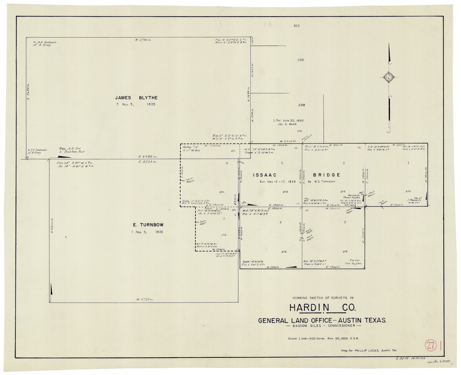
Hardin County Working Sketch 27
-
Map/Doc
63425
-
Collection
General Map Collection
-
Object Dates
11/30/1954 (Creation Date)
-
People and Organizations
Otto G. Kurio (Draftsman)
-
Counties
Hardin
-
Subjects
Surveying Working Sketch
-
Height x Width
22.9 x 27.9 inches
58.2 x 70.9 cm
-
Scale
1" = 500 varas
Part of: General Map Collection
Flight Mission No. CRC-5R, Frame 43, Chambers County

Print $20.00
- Digital $50.00
Flight Mission No. CRC-5R, Frame 43, Chambers County
1956
Size 18.6 x 22.3 inches
Map/Doc 84962
Flight Mission No. CRC-4R, Frame 79, Chambers County

Print $20.00
- Digital $50.00
Flight Mission No. CRC-4R, Frame 79, Chambers County
1956
Size 18.9 x 22.6 inches
Map/Doc 84883

Armstrong County Sketch File 9

Print $12.00
- Digital $50.00
Armstrong County Sketch File 9
1904
Size 11.6 x 9.1 inches
Map/Doc 41460
Brewster County Rolled Sketch 114

Print $20.00
- Digital $50.00
Brewster County Rolled Sketch 114
1964
Size 11.5 x 17.6 inches
Map/Doc 5274
Goliad County Boundary File 33

Print $12.00
- Digital $50.00
Goliad County Boundary File 33
Size 9.4 x 4.2 inches
Map/Doc 53797
Castro County Working Sketch 6

Print $20.00
- Digital $50.00
Castro County Working Sketch 6
1975
Size 28.4 x 26.4 inches
Map/Doc 67901
Henderson County Rolled Sketch 11

Print $20.00
- Digital $50.00
Henderson County Rolled Sketch 11
1915
Size 29.2 x 41.6 inches
Map/Doc 76147
Nolan County Working Sketch 11

Print $40.00
- Digital $50.00
Nolan County Working Sketch 11
1971
Size 67.1 x 37.8 inches
Map/Doc 71302
Hockley County

Print $20.00
- Digital $50.00
Hockley County
1954
Size 41.0 x 36.4 inches
Map/Doc 77313
Wharton County Rolled Sketch 8

Print $20.00
- Digital $50.00
Wharton County Rolled Sketch 8
Size 24.4 x 39.2 inches
Map/Doc 8232
[Location Survey of the Southern Kansas Railway, Kiowa Extension from a point in Drake's Location, in Indian Territory 100 miles from south line of Kansas, continuing up Wolf Creek and South Canadian River to Cottonwood Creek in Hutchinson County]
![88844, [Location Survey of the Southern Kansas Railway, Kiowa Extension from a point in Drake's Location, in Indian Territory 100 miles from south line of Kansas, continuing up Wolf Creek and South Canadian River to Cottonwood Creek in Hutchinson County], General Map Collection](https://historictexasmaps.com/wmedia_w700/maps/88844.tif.jpg)
Print $20.00
- Digital $50.00
[Location Survey of the Southern Kansas Railway, Kiowa Extension from a point in Drake's Location, in Indian Territory 100 miles from south line of Kansas, continuing up Wolf Creek and South Canadian River to Cottonwood Creek in Hutchinson County]
1886
Size 39.0 x 40.0 inches
Map/Doc 88844
You may also like
[Southeast part of County near Jas. H. Price Survey]
![91915, [Southeast part of County near Jas. H. Price Survey], Twichell Survey Records](https://historictexasmaps.com/wmedia_w700/maps/91915-1.tif.jpg)
Print $20.00
- Digital $50.00
[Southeast part of County near Jas. H. Price Survey]
Size 19.9 x 20.0 inches
Map/Doc 91915
Austin County Working Sketch Graphic Index

Print $20.00
- Digital $50.00
Austin County Working Sketch Graphic Index
1943
Size 38.6 x 41.1 inches
Map/Doc 76459
Throckmorton County Rolled Sketch 3A

Print $20.00
- Digital $50.00
Throckmorton County Rolled Sketch 3A
Size 30.7 x 37.4 inches
Map/Doc 7987
Jefferson County Rolled Sketch 7

Print $20.00
- Digital $50.00
Jefferson County Rolled Sketch 7
1928
Size 30.8 x 34.2 inches
Map/Doc 9272
Taylor County Boundary File 1

Print $44.00
- Digital $50.00
Taylor County Boundary File 1
Size 8.4 x 8.2 inches
Map/Doc 59184
Flight Mission No. BRA-16M, Frame 139, Jefferson County

Print $20.00
- Digital $50.00
Flight Mission No. BRA-16M, Frame 139, Jefferson County
1953
Size 18.6 x 22.2 inches
Map/Doc 85745

Martin-Ameen Addition, City of Lubbock, South 100 Acres of Southeast Quarter, Section 5, Block E

Print $20.00
- Digital $50.00
Martin-Ameen Addition, City of Lubbock, South 100 Acres of Southeast Quarter, Section 5, Block E
Size 30.9 x 24.6 inches
Map/Doc 92737

Western portion of the Ward Ranch, Cottle, Foard & Hardeman Counties, Swearingen, Texas sold to Luther T. Clark

Print $20.00
- Digital $50.00
Western portion of the Ward Ranch, Cottle, Foard & Hardeman Counties, Swearingen, Texas sold to Luther T. Clark
1916
Size 30.4 x 30.7 inches
Map/Doc 4460
Crane County Working Sketch 27

Print $40.00
- Digital $50.00
Crane County Working Sketch 27
1972
Size 71.9 x 47.1 inches
Map/Doc 68304
Comal County Working Sketch 3

Print $20.00
- Digital $50.00
Comal County Working Sketch 3
1944
Size 31.1 x 27.9 inches
Map/Doc 68169