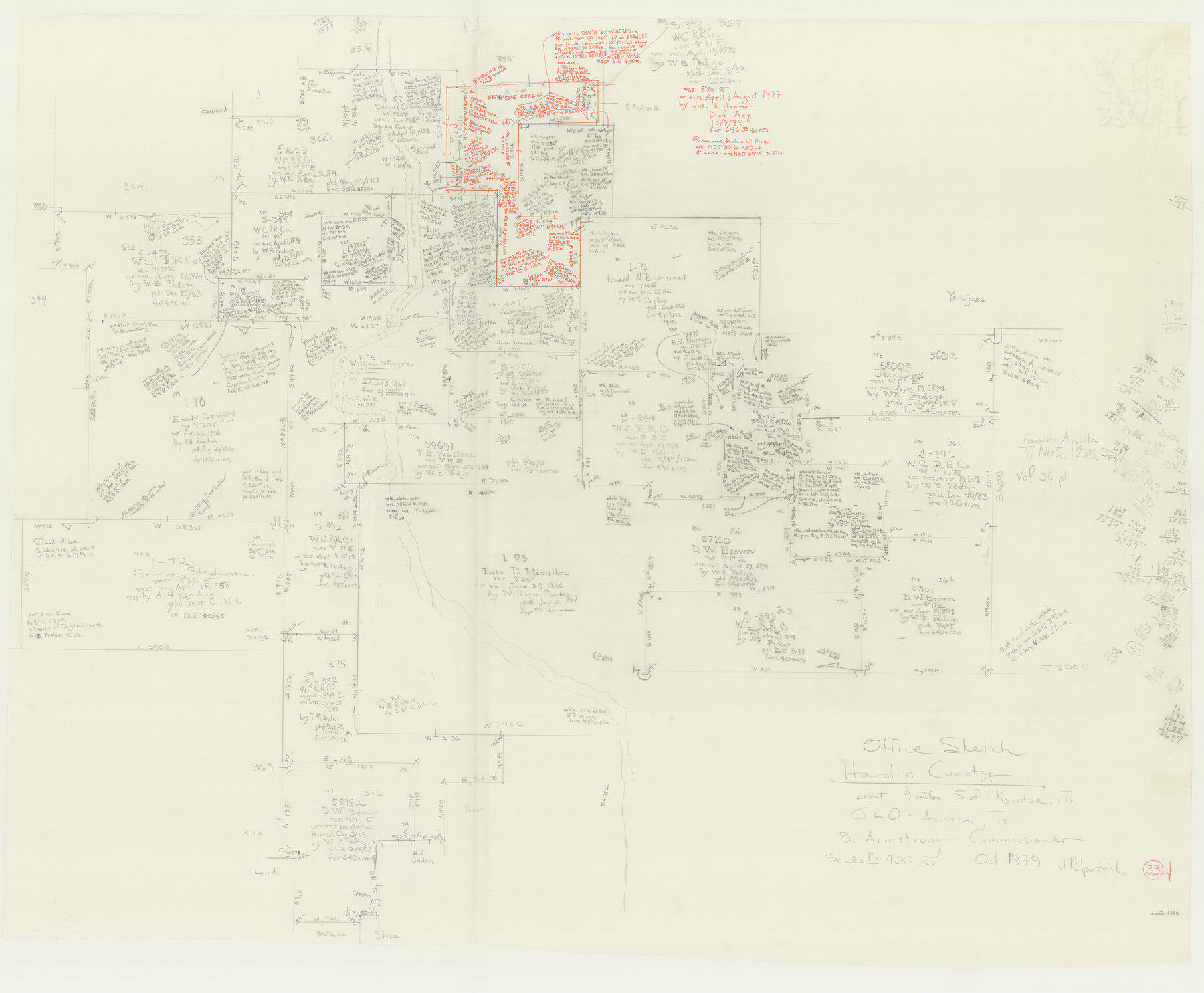
Hardin County Working Sketch 33
-
Map/Doc
63431
-
Collection
General Map Collection
-
Object Dates
10/1979 (Creation Date)
-
People and Organizations
Joan Kilpatrick (Draftsman)
-
Counties
Hardin
-
Subjects
Surveying Working Sketch
-
Height x Width
36.0 x 43.6 inches
91.4 x 110.7 cm
-
Scale
1" = 400 varas
Part of: General Map Collection

Upshur County Sketch File 19

Print $40.00
- Digital $50.00
Upshur County Sketch File 19
Size 17.9 x 22.2 inches
Map/Doc 12507
Map of the Straits of Florida and Gulf of Mexico

Print $20.00
- Digital $50.00
Map of the Straits of Florida and Gulf of Mexico
1851
Size 18.4 x 27.5 inches
Map/Doc 72674
Jackson County Sketch File 8

Print $20.00
- Digital $50.00
Jackson County Sketch File 8
Size 30.5 x 35.7 inches
Map/Doc 10503
Dallas County Working Sketch 1

Print $20.00
- Digital $50.00
Dallas County Working Sketch 1
Size 41.4 x 28.3 inches
Map/Doc 68567
Pecos County Rolled Sketch 117

Print $40.00
- Digital $50.00
Pecos County Rolled Sketch 117
1944
Size 44.6 x 52.6 inches
Map/Doc 9722
Burnet County Working Sketch 1

Print $20.00
- Digital $50.00
Burnet County Working Sketch 1
1916
Size 22.4 x 31.9 inches
Map/Doc 67844
Briscoe County Working Sketch 2

Print $20.00
- Digital $50.00
Briscoe County Working Sketch 2
1913
Size 25.4 x 23.9 inches
Map/Doc 67805
Flight Mission No. DQO-1K, Frame 145, Galveston County

Print $20.00
- Digital $50.00
Flight Mission No. DQO-1K, Frame 145, Galveston County
1952
Size 18.9 x 22.6 inches
Map/Doc 84998
Map of South America to illustrate Olney's school geography

Print $20.00
- Digital $50.00
Map of South America to illustrate Olney's school geography
1844
Size 12.1 x 9.5 inches
Map/Doc 93545
Eastland County

Print $20.00
- Digital $50.00
Eastland County
1879
Size 21.3 x 21.3 inches
Map/Doc 3499
Rusk County Sketch File 28

Print $24.00
Rusk County Sketch File 28
1937
Size 11.4 x 8.7 inches
Map/Doc 35542
You may also like
Somervell County Working Sketch 7

Print $20.00
- Digital $50.00
Somervell County Working Sketch 7
2008
Size 27.9 x 34.2 inches
Map/Doc 88889
Flight Mission No. DQN-7K, Frame 35, Calhoun County

Print $20.00
- Digital $50.00
Flight Mission No. DQN-7K, Frame 35, Calhoun County
1953
Size 18.5 x 22.1 inches
Map/Doc 84473
Flight Mission No. CRC-2R, Frame 201, Chambers County

Print $20.00
- Digital $50.00
Flight Mission No. CRC-2R, Frame 201, Chambers County
1956
Size 18.5 x 22.3 inches
Map/Doc 84779
San Jacinto County Sketch File 12

Print $4.00
San Jacinto County Sketch File 12
1873
Size 9.7 x 8.2 inches
Map/Doc 35720
Fort Bend County Rolled Sketch 7

Print $20.00
- Digital $50.00
Fort Bend County Rolled Sketch 7
1919
Size 21.1 x 24.0 inches
Map/Doc 5898
General Highway Map, Hidalgo County, Texas

Print $20.00
General Highway Map, Hidalgo County, Texas
1940
Size 18.4 x 25.0 inches
Map/Doc 79128

Palo Pinto County Working Sketch 18

Print $20.00
- Digital $50.00
Palo Pinto County Working Sketch 18
1974
Size 30.5 x 37.3 inches
Map/Doc 71401
Shelby County Sketch File 28

Print $4.00
- Digital $50.00
Shelby County Sketch File 28
Size 6.2 x 7.9 inches
Map/Doc 36664
[Block K5, Section 13]
![91451, [Block K5, Section 13], Twichell Survey Records](https://historictexasmaps.com/wmedia_w700/maps/91451-1.tif.jpg)
Print $3.00
- Digital $50.00
[Block K5, Section 13]
Size 11.4 x 10.4 inches
Map/Doc 91451
Culberson County Sketch File 15

Print $20.00
- Digital $50.00
Culberson County Sketch File 15
1933
Size 30.4 x 24.4 inches
Map/Doc 11267
FT. W. & R. G. Ry. Right of Way Map, Whiteland to Lightner, Concho County, Texas

Print $40.00
- Digital $50.00
FT. W. & R. G. Ry. Right of Way Map, Whiteland to Lightner, Concho County, Texas
1918
Size 37.5 x 68.4 inches
Map/Doc 61413