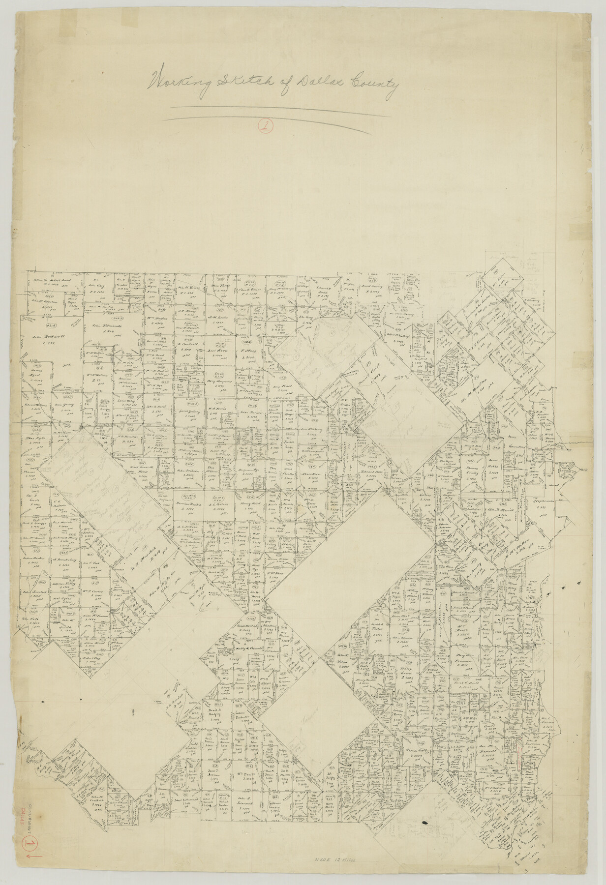
Dallas County Working Sketch 1
-
Map/Doc
68567
-
Collection
General Map Collection
-
Counties
Dallas
-
Subjects
Surveying Working Sketch
-
Height x Width
41.4 x 28.3 inches
105.2 x 71.9 cm
Part of: General Map Collection
Map of Comal County

Print $20.00
- Digital $50.00
Map of Comal County
1897
Size 40.4 x 46.3 inches
Map/Doc 4917

Ochiltree County Boundary File 9

Print $18.00
- Digital $50.00
Ochiltree County Boundary File 9
Size 11.2 x 8.7 inches
Map/Doc 57719
Henderson County Working Sketch 12

Print $20.00
- Digital $50.00
Henderson County Working Sketch 12
1915
Size 23.3 x 24.9 inches
Map/Doc 66145
Kleberg County Rolled Sketch 10-20

Print $20.00
- Digital $50.00
Kleberg County Rolled Sketch 10-20
1952
Size 35.9 x 35.7 inches
Map/Doc 9368
Harris County Rolled Sketch 91

Print $407.00
- Digital $50.00
Harris County Rolled Sketch 91
1981
Size 31.0 x 24.3 inches
Map/Doc 6130
McMullen County Rolled Sketch 20

Print $20.00
- Digital $50.00
McMullen County Rolled Sketch 20
Size 27.7 x 21.7 inches
Map/Doc 6736
Flight Mission No. CGI-3N, Frame 142, Cameron County

Print $20.00
- Digital $50.00
Flight Mission No. CGI-3N, Frame 142, Cameron County
1954
Size 18.7 x 22.3 inches
Map/Doc 84615
Montague County Sketch File 6

Print $4.00
- Digital $50.00
Montague County Sketch File 6
1856
Size 8.0 x 8.4 inches
Map/Doc 31717
Kerr County Sketch File 23

Print $8.00
- Digital $50.00
Kerr County Sketch File 23
1959
Size 14.2 x 8.8 inches
Map/Doc 28901
Flight Mission No. CRC-4R, Frame 73, Chambers County

Print $20.00
- Digital $50.00
Flight Mission No. CRC-4R, Frame 73, Chambers County
1956
Size 18.7 x 22.5 inches
Map/Doc 84877
Galveston County Working Sketch 10

Print $40.00
- Digital $50.00
Galveston County Working Sketch 10
1967
Size 24.7 x 119.8 inches
Map/Doc 69347
You may also like
Chambers County Working Sketch 10

Print $20.00
- Digital $50.00
Chambers County Working Sketch 10
1950
Size 40.1 x 33.0 inches
Map/Doc 67993
Crockett County Rolled Sketch 88B

Print $20.00
- Digital $50.00
Crockett County Rolled Sketch 88B
1973
Size 35.1 x 38.9 inches
Map/Doc 8727
Newton County Sketch File 20

Print $4.00
- Digital $50.00
Newton County Sketch File 20
1893
Size 14.2 x 8.7 inches
Map/Doc 32395
Anderson County Rolled Sketch 14

Print $20.00
- Digital $50.00
Anderson County Rolled Sketch 14
1997
Size 30.1 x 36.5 inches
Map/Doc 77159
Amistad International Reservoir on Rio Grande 84

Print $20.00
- Digital $50.00
Amistad International Reservoir on Rio Grande 84
1949
Size 28.4 x 40.2 inches
Map/Doc 75513
Brazoria County Working Sketch 16

Print $20.00
- Digital $50.00
Brazoria County Working Sketch 16
1943
Size 35.3 x 32.3 inches
Map/Doc 67501
Runnels County Working Sketch 4

Print $20.00
- Digital $50.00
Runnels County Working Sketch 4
1906
Size 15.1 x 19.3 inches
Map/Doc 63600
La Salle County Sketch File 53

Print $8.00
- Digital $50.00
La Salle County Sketch File 53
1992
Size 11.2 x 8.8 inches
Map/Doc 29624
[Parts of Blocks 33, 34, 35, and 36, Township 3 North]
![91288, [Parts of Blocks 33, 34, 35, and 36, Township 3 North], Twichell Survey Records](https://historictexasmaps.com/wmedia_w700/maps/91288-1.tif.jpg)
Print $3.00
- Digital $50.00
[Parts of Blocks 33, 34, 35, and 36, Township 3 North]
Size 12.4 x 9.5 inches
Map/Doc 91288
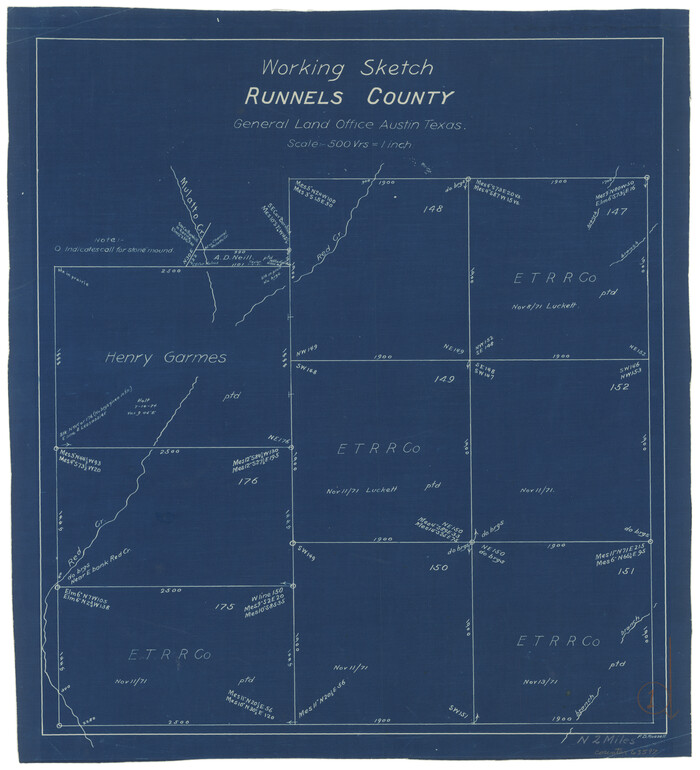
Runnels County Working Sketch 1
Print $20.00
- Digital $50.00
Runnels County Working Sketch 1
Size 15.9 x 14.4 inches
Map/Doc 63597
Wilbarger County Sketch File 27

Print $4.00
- Digital $50.00
Wilbarger County Sketch File 27
1894
Size 14.0 x 8.5 inches
Map/Doc 40229
Hamilton County Rolled Sketch 10

Print $20.00
- Digital $50.00
Hamilton County Rolled Sketch 10
1949
Size 22.2 x 27.5 inches
Map/Doc 6059