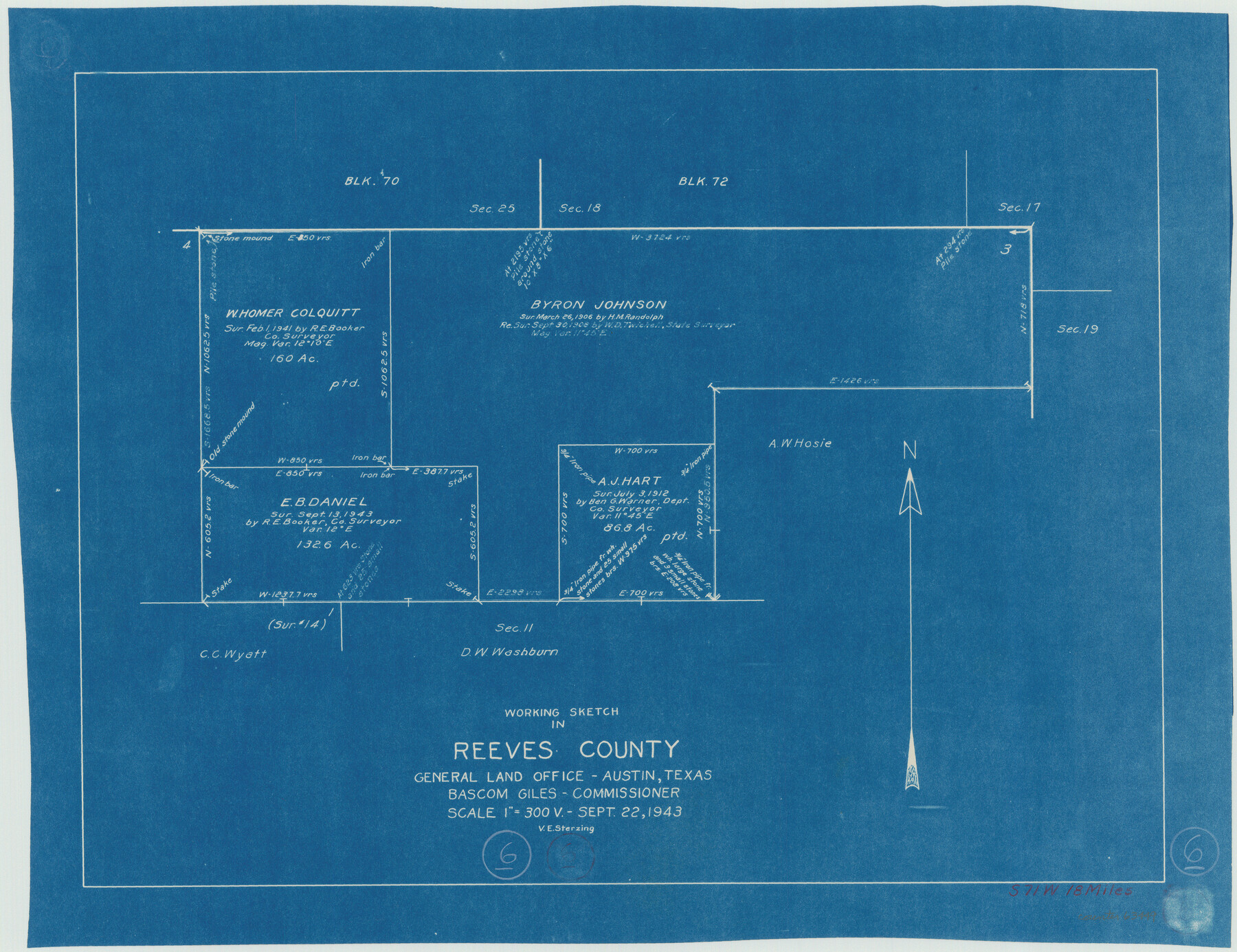
Reeves County Working Sketch 6
-
Map/Doc
63449
-
Collection
General Map Collection
-
Object Dates
9/22/1943 (Creation Date)
-
People and Organizations
Victor E. Sterzing (Draftsman)
-
Counties
Reeves
-
Subjects
Surveying Working Sketch
-
Height x Width
14.1 x 18.4 inches
35.8 x 46.7 cm
-
Scale
1" = 300 varas
Part of: General Map Collection
Flight Mission No. DAG-21K, Frame 129, Matagorda County

Print $20.00
- Digital $50.00
Flight Mission No. DAG-21K, Frame 129, Matagorda County
1952
Size 18.6 x 22.5 inches
Map/Doc 86455
[T&P Land Reserve, Blocks 33, 34 & 35, Tsps. 2, 3, 4, & 5, Dawson & Martin Counties, Texas

Print $20.00
- Digital $50.00
[T&P Land Reserve, Blocks 33, 34 & 35, Tsps. 2, 3, 4, & 5, Dawson & Martin Counties, Texas
1875
Size 29.6 x 34.9 inches
Map/Doc 2223
Medina County Rolled Sketch 4

Print $20.00
- Digital $50.00
Medina County Rolled Sketch 4
1943
Size 20.2 x 26.4 inches
Map/Doc 6740
Burleson County Working Sketch 33

Print $20.00
- Digital $50.00
Burleson County Working Sketch 33
1981
Size 33.9 x 34.8 inches
Map/Doc 67752
Hansford County Boundary File 1

Print $24.00
- Digital $50.00
Hansford County Boundary File 1
Size 9.2 x 8.6 inches
Map/Doc 54232
Flight Mission No. DQN-7K, Frame 38, Calhoun County

Print $20.00
- Digital $50.00
Flight Mission No. DQN-7K, Frame 38, Calhoun County
1953
Size 18.5 x 22.2 inches
Map/Doc 84476
Upton County Rolled Sketch 32

Print $20.00
- Digital $50.00
Upton County Rolled Sketch 32
Size 38.6 x 39.0 inches
Map/Doc 10049
Shackelford County Boundary File 6

Print $6.00
- Digital $50.00
Shackelford County Boundary File 6
Size 11.4 x 8.8 inches
Map/Doc 58668
Culberson County Sketch File 4

Print $56.00
- Digital $50.00
Culberson County Sketch File 4
1881
Size 14.3 x 8.8 inches
Map/Doc 20123
Pecos County Working Sketch 10

Print $20.00
- Digital $50.00
Pecos County Working Sketch 10
1907
Size 25.9 x 23.9 inches
Map/Doc 71480
Flight Mission No. CUG-2P, Frame 70, Kleberg County

Print $20.00
- Digital $50.00
Flight Mission No. CUG-2P, Frame 70, Kleberg County
1956
Size 18.7 x 22.4 inches
Map/Doc 86207
Upton County Sketch File 40

Print $6.00
- Digital $50.00
Upton County Sketch File 40
1961
Size 11.5 x 8.7 inches
Map/Doc 38914
You may also like
Angelina County Sketch File 7

Print $40.00
- Digital $50.00
Angelina County Sketch File 7
1858
Size 15.5 x 35.8 inches
Map/Doc 10812
Flight Mission No. CLL-3N, Frame 14, Willacy County

Print $20.00
- Digital $50.00
Flight Mission No. CLL-3N, Frame 14, Willacy County
1954
Size 18.4 x 22.2 inches
Map/Doc 87080
Maverick County Working Sketch 14

Print $20.00
- Digital $50.00
Maverick County Working Sketch 14
1970
Size 41.2 x 42.6 inches
Map/Doc 70906
Moore County Sketch File 7

Print $20.00
- Digital $50.00
Moore County Sketch File 7
Size 24.6 x 45.8 inches
Map/Doc 10553
Palo Pinto County Working Sketch 1

Print $20.00
- Digital $50.00
Palo Pinto County Working Sketch 1
1903
Size 19.0 x 14.6 inches
Map/Doc 71384
Sutton County Sketch File 60

Print $20.00
- Digital $50.00
Sutton County Sketch File 60
Size 34.6 x 43.9 inches
Map/Doc 10378

Map of Menard County

Print $20.00
- Digital $50.00
Map of Menard County
1898
Size 19.9 x 43.1 inches
Map/Doc 5042
Eastham State Farm - Houston, Walker Counties and Ferguson State Farm, Madison County

Print $20.00
- Digital $50.00
Eastham State Farm - Houston, Walker Counties and Ferguson State Farm, Madison County
Size 27.7 x 40.3 inches
Map/Doc 62975
General Highway Map. Detail of Cities and Towns in Bexar County, Texas. City Map of San Antonio, Alamo Heights, Olmos Park, Terrell Hills, Castle Hills, Balcones Heights, and vicinity, Bexar County, Texas

Print $20.00
General Highway Map. Detail of Cities and Towns in Bexar County, Texas. City Map of San Antonio, Alamo Heights, Olmos Park, Terrell Hills, Castle Hills, Balcones Heights, and vicinity, Bexar County, Texas
1961
Size 25.1 x 18.2 inches
Map/Doc 79372
Guadalupe County

Print $20.00
- Digital $50.00
Guadalupe County
1872
Size 24.6 x 23.7 inches
Map/Doc 3610
Aransas County Rolled Sketch 30

Print $40.00
- Digital $50.00
Aransas County Rolled Sketch 30
1909
Size 15.9 x 61.6 inches
Map/Doc 8422