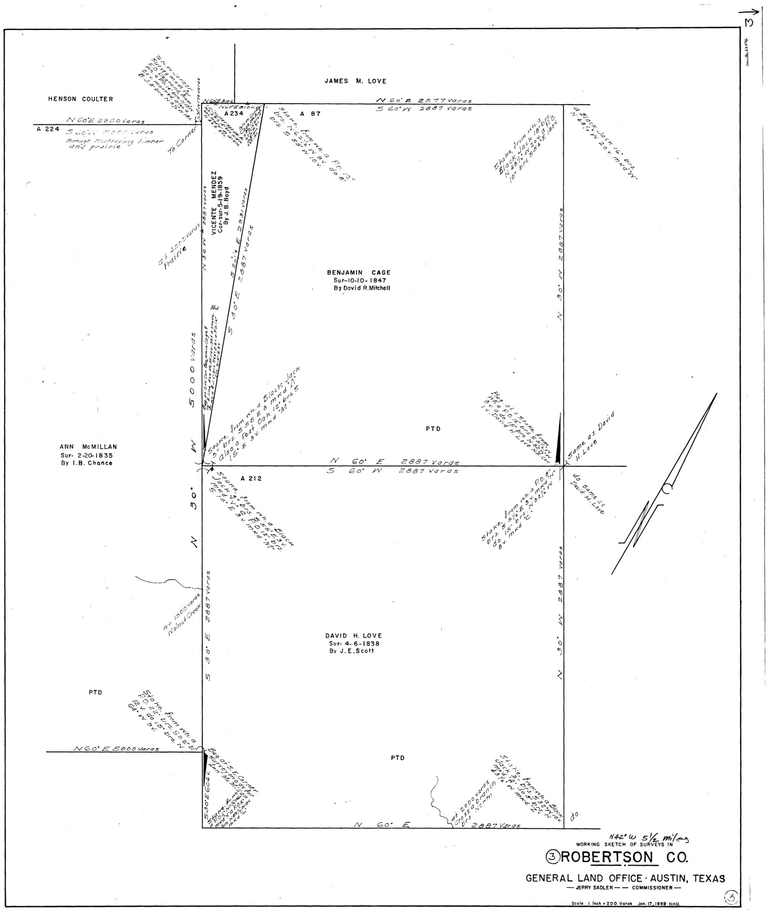
Robertson County Working Sketch 3
-
Map/Doc
63576
-
Collection
General Map Collection
-
Object Dates
1/17/1969 (Creation Date)
-
People and Organizations
Herbert H. Ulbricht (Draftsman)
-
Counties
Robertson
-
Subjects
Surveying Working Sketch
-
Height x Width
36.5 x 30.8 inches
92.7 x 78.2 cm
-
Scale
1" = 200 varas
Part of: General Map Collection

El Paso County Rolled Sketch Z53

Print $40.00
- Digital $50.00
El Paso County Rolled Sketch Z53
1915
Size 36.6 x 51.7 inches
Map/Doc 8869
Pecos County Sketch File 37

Print $4.00
- Digital $50.00
Pecos County Sketch File 37
1911
Size 8.9 x 8.3 inches
Map/Doc 33718
Map accompanying report of scout made by 2nd Lt. F. de I. Carrington. 1st Infantry

Print $20.00
- Digital $50.00
Map accompanying report of scout made by 2nd Lt. F. de I. Carrington. 1st Infantry
1881
Size 22.2 x 18.0 inches
Map/Doc 65407
Flight Mission No. DQN-2K, Frame 85, Calhoun County

Print $20.00
- Digital $50.00
Flight Mission No. DQN-2K, Frame 85, Calhoun County
1953
Size 18.8 x 22.4 inches
Map/Doc 84275
Callahan County

Print $20.00
- Digital $50.00
Callahan County
1879
Size 22.0 x 17.9 inches
Map/Doc 3362
Houston County Sketch File 6

Print $4.00
- Digital $50.00
Houston County Sketch File 6
1857
Size 12.0 x 4.7 inches
Map/Doc 26760
Pecos County Rolled Sketch 77

Print $20.00
- Digital $50.00
Pecos County Rolled Sketch 77
1930
Size 38.4 x 23.4 inches
Map/Doc 7238
[Surveys in Austin's Colony along Buffalo Bayou and the San Jacinto River]
![51, [Surveys in Austin's Colony along Buffalo Bayou and the San Jacinto River], General Map Collection](https://historictexasmaps.com/wmedia_w700/maps/51.tif.jpg)
Print $20.00
- Digital $50.00
[Surveys in Austin's Colony along Buffalo Bayou and the San Jacinto River]
1824
Size 23.7 x 17.6 inches
Map/Doc 51
Hall County Sketch File C2

Print $6.00
- Digital $50.00
Hall County Sketch File C2
1905
Size 14.4 x 9.0 inches
Map/Doc 24789
Lynn County Rolled Sketch A1

Print $20.00
- Digital $50.00
Lynn County Rolled Sketch A1
1904
Size 39.2 x 43.3 inches
Map/Doc 8347
Archer County Sketch File 25

Print $40.00
- Digital $50.00
Archer County Sketch File 25
Size 22.3 x 46.6 inches
Map/Doc 10348
You may also like
Travis County Appraisal District Plat Map 3_0404

Print $20.00
- Digital $50.00
Travis County Appraisal District Plat Map 3_0404
Size 21.5 x 26.4 inches
Map/Doc 94226
Flight Mission No. DQO-2K, Frame 133, Galveston County

Print $20.00
- Digital $50.00
Flight Mission No. DQO-2K, Frame 133, Galveston County
1952
Size 18.7 x 22.5 inches
Map/Doc 85030
Treaty to Resolve Pending Boundary Differences and Maintain the Rio Grande and Colorado River as the International Boundary Between the United States of American and Mexico

Print $4.00
- Digital $50.00
Treaty to Resolve Pending Boundary Differences and Maintain the Rio Grande and Colorado River as the International Boundary Between the United States of American and Mexico
1970
Size 10.9 x 18.1 inches
Map/Doc 83101
Cooke County Sketch File 9

Print $6.00
- Digital $50.00
Cooke County Sketch File 9
Size 8.2 x 10.5 inches
Map/Doc 19237
Archer County Sketch File 3

Print $4.00
- Digital $50.00
Archer County Sketch File 3
Size 7.5 x 8.5 inches
Map/Doc 13628
Van Zandt County

Print $20.00
- Digital $50.00
Van Zandt County
1870
Size 22.9 x 21.6 inches
Map/Doc 4637
Presidio County Rolled Sketch D

Print $20.00
- Digital $50.00
Presidio County Rolled Sketch D
Size 13.7 x 22.4 inches
Map/Doc 7408
Railroad Track Map, H&TCRRCo., Falls County, Texas

Print $4.00
- Digital $50.00
Railroad Track Map, H&TCRRCo., Falls County, Texas
1918
Size 11.6 x 18.6 inches
Map/Doc 62852
Wood County Working Sketch 16

Print $20.00
- Digital $50.00
Wood County Working Sketch 16
1987
Size 21.7 x 17.7 inches
Map/Doc 62016
Flight Mission No. BRA-9M, Frame 72, Jefferson County

Print $20.00
- Digital $50.00
Flight Mission No. BRA-9M, Frame 72, Jefferson County
1953
Size 18.5 x 22.6 inches
Map/Doc 85655
Reeves County Boundary File 73

Print $52.00
- Digital $50.00
Reeves County Boundary File 73
Size 9.1 x 7.6 inches
Map/Doc 58201
Floyd County Working Sketch 1

Print $20.00
- Digital $50.00
Floyd County Working Sketch 1
1949
Size 24.5 x 24.1 inches
Map/Doc 69180