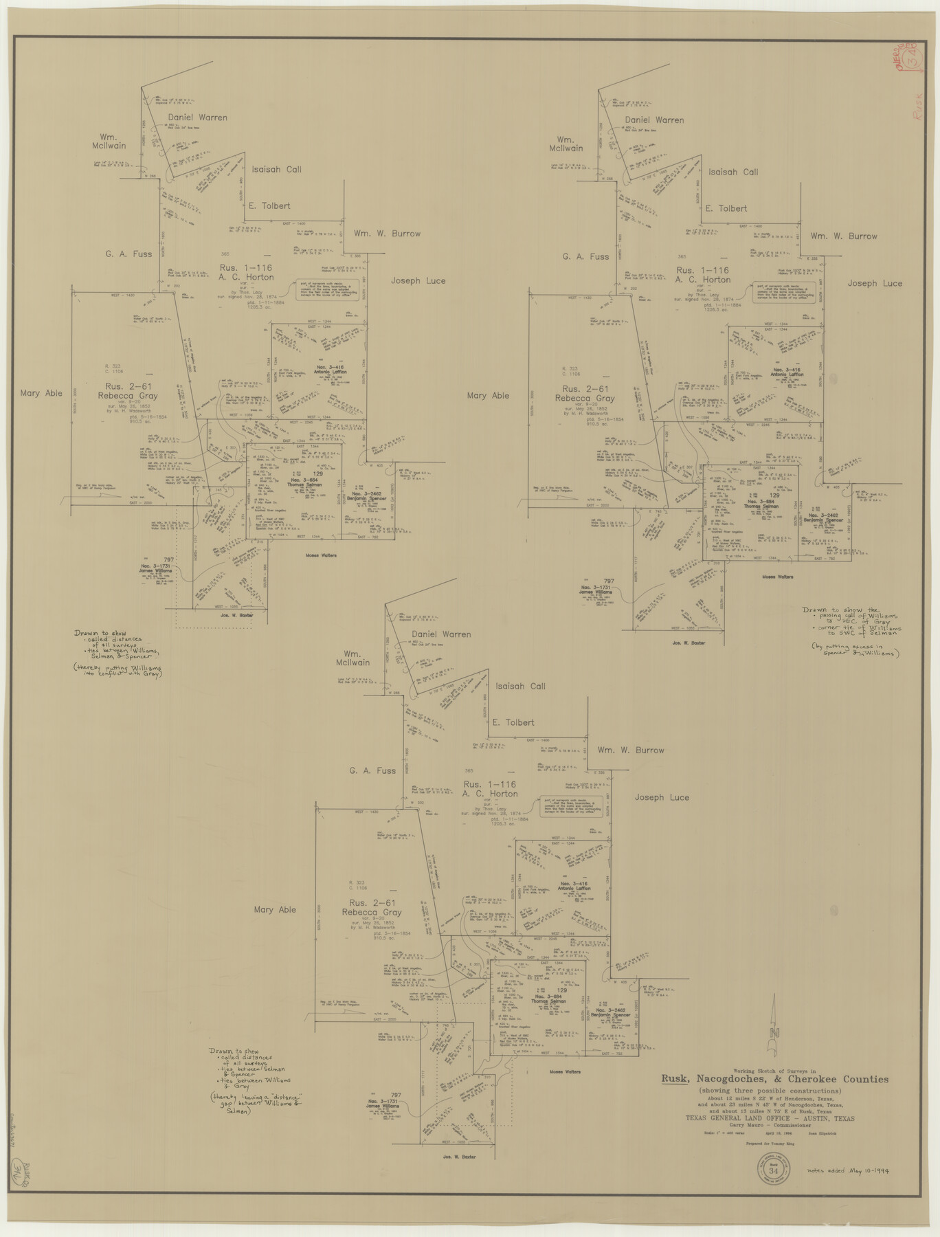
Rusk County Working Sketch 34
-
Map/Doc
63671
-
Collection
General Map Collection
-
Object Dates
4/19/1994 (Creation Date)
-
People and Organizations
Joan Kilpatrick (Draftsman)
-
Counties
Rusk Nacogdoches Cherokee
-
Subjects
Surveying Working Sketch
-
Height x Width
43.5 x 33.1 inches
110.5 x 84.1 cm
-
Scale
1" = 400 varas
Part of: General Map Collection
Hutchinson County Sketch File 6

Print $8.00
- Digital $50.00
Hutchinson County Sketch File 6
1890
Size 10.9 x 8.4 inches
Map/Doc 27198
Freestone County Boundary File 30d

Print $20.00
- Digital $50.00
Freestone County Boundary File 30d
Size 8.0 x 29.6 inches
Map/Doc 53608
Reagan County Sketch File 19

Print $26.00
- Digital $50.00
Reagan County Sketch File 19
1937
Size 14.0 x 28.7 inches
Map/Doc 12220
Texas Coast, No. 17

Print $20.00
- Digital $50.00
Texas Coast, No. 17
Size 18.3 x 27.6 inches
Map/Doc 72712
[St. L. S-W. Ry. of Texas Map of Lufkin Branch in Angelina County, Texas]
![64561, [St. L. S-W. Ry. of Texas Map of Lufkin Branch in Angelina County, Texas], General Map Collection](https://historictexasmaps.com/wmedia_w700/maps/64561-1.tif.jpg)
Print $40.00
- Digital $50.00
[St. L. S-W. Ry. of Texas Map of Lufkin Branch in Angelina County, Texas]
1913
Size 25.4 x 121.3 inches
Map/Doc 64561
Orange County Sketch File 36

Print $22.00
- Digital $50.00
Orange County Sketch File 36
Size 27.7 x 8.8 inches
Map/Doc 33372
Aransas Pass to Baffin Bay

Print $20.00
- Digital $50.00
Aransas Pass to Baffin Bay
1961
Size 42.1 x 35.4 inches
Map/Doc 73414
Lampasas County Working Sketch 8

Print $20.00
- Digital $50.00
Lampasas County Working Sketch 8
1958
Size 36.4 x 37.1 inches
Map/Doc 70285
Harrison County Working Sketch 22

Print $40.00
- Digital $50.00
Harrison County Working Sketch 22
1982
Size 54.2 x 37.0 inches
Map/Doc 66042
Real County Working Sketch 49

Print $20.00
- Digital $50.00
Real County Working Sketch 49
1957
Size 25.9 x 25.7 inches
Map/Doc 71941
Cass County Rolled Sketch 5A

Print $20.00
- Digital $50.00
Cass County Rolled Sketch 5A
Size 15.4 x 18.0 inches
Map/Doc 5411
Kendall County Sketch File 22

Print $20.00
- Digital $50.00
Kendall County Sketch File 22
1926
Size 17.0 x 25.8 inches
Map/Doc 11910
You may also like
[Notes and map showing Public School Land Block K between Yoakum and Terry Counties]
![92009, [Notes and map showing Public School Land Block K between Yoakum and Terry Counties], Twichell Survey Records](https://historictexasmaps.com/wmedia_w700/maps/92009-1.tif.jpg)
Print $2.00
- Digital $50.00
[Notes and map showing Public School Land Block K between Yoakum and Terry Counties]
Size 8.4 x 5.7 inches
Map/Doc 92009
Leon County Sketch File 30

Print $6.00
- Digital $50.00
Leon County Sketch File 30
1951
Size 11.2 x 8.7 inches
Map/Doc 29829
Dallas County Rolled Sketch 2

Print $40.00
- Digital $50.00
Dallas County Rolled Sketch 2
1950
Size 36.9 x 51.0 inches
Map/Doc 8766
Surveys in Austin's Colony along the Colorado River below the San Antonio Road

Print $20.00
- Digital $50.00
Surveys in Austin's Colony along the Colorado River below the San Antonio Road
1830
Size 38.2 x 13.5 inches
Map/Doc 193
Kimble County Working Sketch 43

Print $20.00
- Digital $50.00
Kimble County Working Sketch 43
1949
Size 34.6 x 37.6 inches
Map/Doc 70111
Map of Shamrock Cemetery Located in Southwest 10 acres of Southeast 1/4 Section 43, Block 17

Print $20.00
- Digital $50.00
Map of Shamrock Cemetery Located in Southwest 10 acres of Southeast 1/4 Section 43, Block 17
Size 22.8 x 24.0 inches
Map/Doc 92134
Aransas County Rolled Sketch 16

Print $40.00
- Digital $50.00
Aransas County Rolled Sketch 16
1965
Size 45.9 x 92.9 inches
Map/Doc 9005
Nacogdoches County Sketch File 6

Print $10.00
- Digital $50.00
Nacogdoches County Sketch File 6
Size 8.2 x 6.8 inches
Map/Doc 32245
Duval County Rolled Sketch 37

Print $20.00
- Digital $50.00
Duval County Rolled Sketch 37
Size 27.1 x 17.9 inches
Map/Doc 5752
Presidio County Sketch File 56

Print $4.00
- Digital $50.00
Presidio County Sketch File 56
1933
Size 11.3 x 8.8 inches
Map/Doc 34622
Jack County Sketch File 9b

Print $4.00
- Digital $50.00
Jack County Sketch File 9b
1856
Size 8.2 x 13.5 inches
Map/Doc 27525
Padre Island National Seashore

Print $4.00
- Digital $50.00
Padre Island National Seashore
Size 16.2 x 22.2 inches
Map/Doc 60533