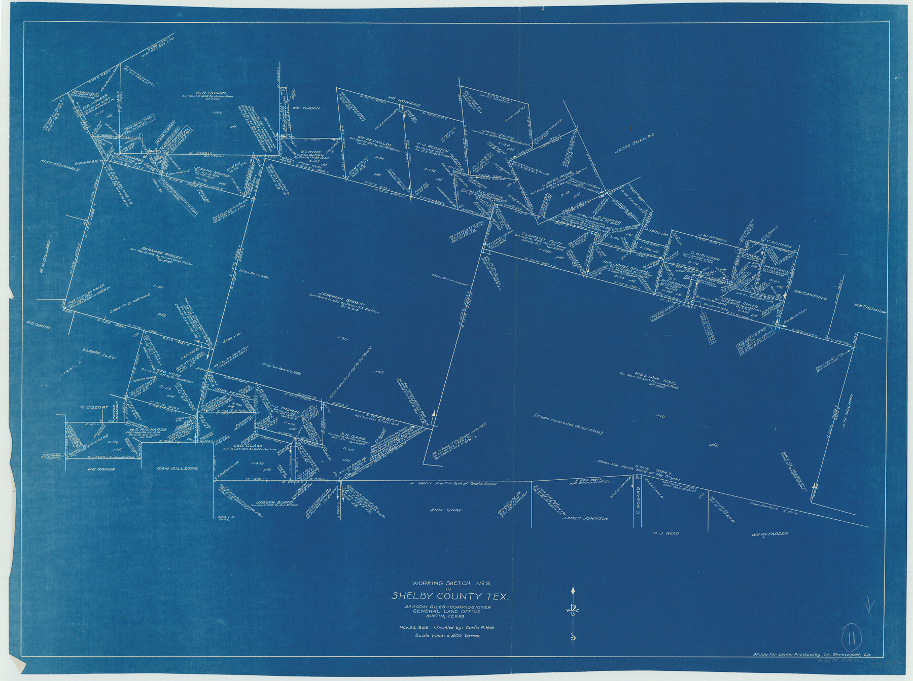
Shelby County Working Sketch 11
-
Map/Doc
63864
-
Collection
General Map Collection
-
Object Dates
11/24/1945 (Creation Date)
-
People and Organizations
Curtis R. Hale (Draftsman)
-
Counties
Shelby
-
Subjects
Surveying Working Sketch
-
Height x Width
32.2 x 43.2 inches
81.8 x 109.7 cm
-
Scale
1" = 400 varas
Part of: General Map Collection
Upton County Sketch File 9

Print $30.00
- Digital $50.00
Upton County Sketch File 9
1913
Size 9.3 x 5.9 inches
Map/Doc 38824
Colorado County Working Sketch 9

Print $20.00
- Digital $50.00
Colorado County Working Sketch 9
1939
Size 12.0 x 15.7 inches
Map/Doc 68109
Hardin County Working Sketch 23

Print $20.00
- Digital $50.00
Hardin County Working Sketch 23
1950
Size 20.7 x 29.4 inches
Map/Doc 63421
[Sketch for Mineral Application 33721 - 33725 Incl. - Padre and Mustang Island]
![2878, [Sketch for Mineral Application 33721 - 33725 Incl. - Padre and Mustang Island], General Map Collection](https://historictexasmaps.com/wmedia_w700/maps/2878.tif.jpg)
Print $20.00
- Digital $50.00
[Sketch for Mineral Application 33721 - 33725 Incl. - Padre and Mustang Island]
1942
Size 29.8 x 22.7 inches
Map/Doc 2878
Upshur County Rolled Sketch 6

Print $20.00
- Digital $50.00
Upshur County Rolled Sketch 6
2003
Size 37.0 x 25.1 inches
Map/Doc 81941

Val Verde County Working Sketch 13

Print $20.00
- Digital $50.00
Val Verde County Working Sketch 13
1922
Size 24.8 x 25.3 inches
Map/Doc 72148
Webb County Working Sketch 19

Print $20.00
- Digital $50.00
Webb County Working Sketch 19
1925
Size 32.6 x 29.8 inches
Map/Doc 72384

Map of Nacogdoches County

Print $20.00
- Digital $50.00
Map of Nacogdoches County
1881
Size 24.5 x 21.5 inches
Map/Doc 4600
Right of Way and Track Map of The Wichita Falls & Southern Railroad Company

Print $40.00
- Digital $50.00
Right of Way and Track Map of The Wichita Falls & Southern Railroad Company
1942
Size 25.0 x 56.2 inches
Map/Doc 64520
Cherokee County Sketch File 37

Print $40.00
- Digital $50.00
Cherokee County Sketch File 37
1978
Size 11.2 x 8.7 inches
Map/Doc 18225
You may also like
Pecos County Working Sketch 130

Print $20.00
- Digital $50.00
Pecos County Working Sketch 130
1976
Size 27.6 x 36.5 inches
Map/Doc 71604
Crosby County Sketch File 31

Print $20.00
- Digital $50.00
Crosby County Sketch File 31
Size 35.0 x 14.0 inches
Map/Doc 11257
Flight Mission No. DQO-2K, Frame 136, Galveston County

Print $20.00
- Digital $50.00
Flight Mission No. DQO-2K, Frame 136, Galveston County
1952
Size 18.8 x 22.6 inches
Map/Doc 85033
General Highway Map, Cameron County, Texas

Print $20.00
General Highway Map, Cameron County, Texas
1961
Size 18.3 x 24.7 inches
Map/Doc 79398
Hill County Sketch File 1

Print $4.00
- Digital $50.00
Hill County Sketch File 1
1857
Size 9.0 x 7.9 inches
Map/Doc 26459
Calhoun County Working Sketch Graphic Index

Print $40.00
- Digital $50.00
Calhoun County Working Sketch Graphic Index
1948
Size 48.2 x 40.1 inches
Map/Doc 76484
Cochran County Rolled Sketch A

Print $40.00
- Digital $50.00
Cochran County Rolled Sketch A
Size 28.5 x 55.3 inches
Map/Doc 8604
Flight Mission No. DAG-21K, Frame 95, Matagorda County

Print $20.00
- Digital $50.00
Flight Mission No. DAG-21K, Frame 95, Matagorda County
1952
Size 18.6 x 22.2 inches
Map/Doc 86424
San Patricio County Sketch File 38

Print $112.00
- Digital $50.00
San Patricio County Sketch File 38
Size 7.9 x 7.3 inches
Map/Doc 36176
Refugio County Sketch File 3

Print $8.00
- Digital $50.00
Refugio County Sketch File 3
1849
Size 12.9 x 8.6 inches
Map/Doc 35241
Travis County Working Sketch 59

Print $20.00
- Digital $50.00
Travis County Working Sketch 59
1992
Size 33.1 x 29.0 inches
Map/Doc 69443
Jasper County Sketch File 24

Print $4.00
- Digital $50.00
Jasper County Sketch File 24
1925
Size 10.9 x 8.3 inches
Map/Doc 27824