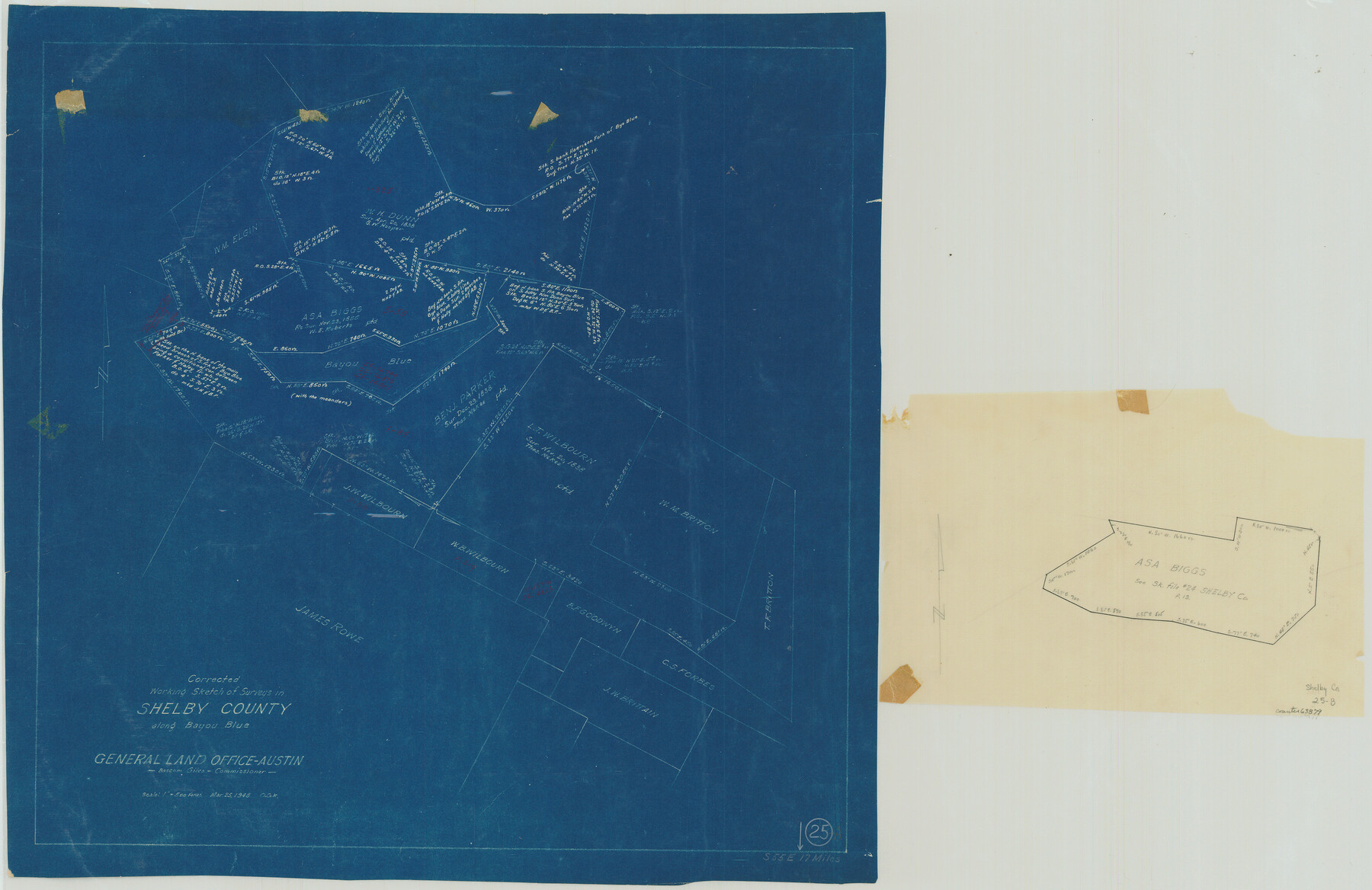
Shelby County Working Sketch 25
-
Map/Doc
63879
-
Collection
General Map Collection
-
Object Dates
3/25/1948 (Creation Date)
-
People and Organizations
Otto G. Kurio (Draftsman)
-
Counties
Shelby
-
Subjects
Surveying Working Sketch
-
Height x Width
23.5 x 36.2 inches
59.7 x 92.0 cm
-
Scale
1" = 500 varas
-
Comments
Two sketches.
Part of: General Map Collection

United States - Gulf Coast Texas - Southern part of Laguna Madre

Print $20.00
- Digital $50.00
United States - Gulf Coast Texas - Southern part of Laguna Madre
1941
Size 26.5 x 18.4 inches
Map/Doc 72943
Concho County Working Sketch 10

Print $20.00
- Digital $50.00
Concho County Working Sketch 10
1951
Size 21.2 x 15.6 inches
Map/Doc 68192
Lee County Working Sketch 13

Print $20.00
- Digital $50.00
Lee County Working Sketch 13
1981
Size 33.4 x 35.7 inches
Map/Doc 70392
No. 1. Outline Map of the Rio Grande from its mouth up to Ringold Barracks

Print $20.00
- Digital $50.00
No. 1. Outline Map of the Rio Grande from its mouth up to Ringold Barracks
Size 24.8 x 18.3 inches
Map/Doc 72857
Chicago & Rock Island

Print $40.00
- Digital $50.00
Chicago & Rock Island
1892
Size 8.4 x 70.7 inches
Map/Doc 64498
Ochiltree County Working Sketch 4

Print $40.00
- Digital $50.00
Ochiltree County Working Sketch 4
1961
Size 89.2 x 38.4 inches
Map/Doc 71317
Brewster County Rolled Sketch 74

Print $20.00
- Digital $50.00
Brewster County Rolled Sketch 74
1941
Size 22.8 x 15.8 inches
Map/Doc 5240
Webb County Rolled Sketch 8

Print $20.00
- Digital $50.00
Webb County Rolled Sketch 8
Size 26.7 x 19.2 inches
Map/Doc 8174
Map of the Town of Giddings

Print $20.00
- Digital $50.00
Map of the Town of Giddings
1871
Size 23.9 x 29.8 inches
Map/Doc 89270
La Salle County Sketch File 33

Print $2.00
- Digital $50.00
La Salle County Sketch File 33
1875
Size 13.4 x 8.0 inches
Map/Doc 29584
Terrell County Rolled Sketch 31

Print $20.00
- Digital $50.00
Terrell County Rolled Sketch 31
1931
Size 24.4 x 28.4 inches
Map/Doc 7937
You may also like
Lee County Working Sketch 5

Print $20.00
- Digital $50.00
Lee County Working Sketch 5
1975
Size 38.5 x 36.2 inches
Map/Doc 70384

Coke County Sketch File 38

Print $42.00
- Digital $50.00
Coke County Sketch File 38
1858
Size 8.0 x 10.0 inches
Map/Doc 82529
Midland County

Print $20.00
- Digital $50.00
Midland County
1896
Size 23.0 x 21.1 inches
Map/Doc 3878
Edwards County Sketch File 6

Print $20.00
- Digital $50.00
Edwards County Sketch File 6
1880
Size 11.7 x 19.6 inches
Map/Doc 11419
Harris County Boundary File 39 (21)

Print $6.00
- Digital $50.00
Harris County Boundary File 39 (21)
Size 10.2 x 8.1 inches
Map/Doc 54365
Flight Mission No. DQO-8K, Frame 12, Galveston County

Print $20.00
- Digital $50.00
Flight Mission No. DQO-8K, Frame 12, Galveston County
1952
Size 18.7 x 22.4 inches
Map/Doc 85135
Colorado County Working Sketch 4

Print $20.00
- Digital $50.00
Colorado County Working Sketch 4
1913
Size 23.2 x 16.9 inches
Map/Doc 68104
Texas-United States Boundary Line 5

Print $68.00
- Digital $50.00
Texas-United States Boundary Line 5
1997
Size 9.6 x 6.4 inches
Map/Doc 74994
Hutchinson County Working Sketch 16

Print $20.00
- Digital $50.00
Hutchinson County Working Sketch 16
1953
Size 23.0 x 36.3 inches
Map/Doc 66374
Stephens County Working Sketch Graphic Index

Print $20.00
- Digital $50.00
Stephens County Working Sketch Graphic Index
1940
Size 41.1 x 39.4 inches
Map/Doc 76702