[Beaumont, Sour Lake and Western Ry. Right of Way and Alignment - Frisco]
Right of Way and Alignment Thro' W.F. Blair and W.F. Hardin
Z-2-33
-
Map/Doc
64121
-
Collection
General Map Collection
-
Object Dates
1910 (Creation Date)
-
Counties
Liberty
-
Subjects
Railroads
-
Height x Width
20.0 x 45.8 inches
50.8 x 116.3 cm
-
Medium
blueprint/diazo
-
Comments
See counter nos. 64105 through 64133 for all sheets.
-
Features
BSL&W
Trinity River
Kenefick
Part of: General Map Collection
McLennan County


Print $20.00
- Digital $50.00
McLennan County
1946
Size 42.5 x 45.8 inches
Map/Doc 73235
Hood County Working Sketch 7
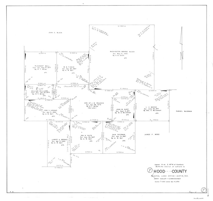

Print $20.00
- Digital $50.00
Hood County Working Sketch 7
1970
Size 29.4 x 31.2 inches
Map/Doc 66201
Index for Texas Railroad ROW & track maps available on microfilm at THD & Archives and Records
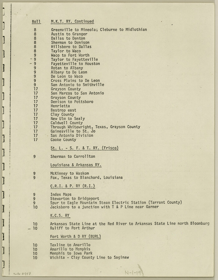

Print $2.00
- Digital $50.00
Index for Texas Railroad ROW & track maps available on microfilm at THD & Archives and Records
1977
Size 11.2 x 8.8 inches
Map/Doc 60757
Mason County Sketch File 2

Print $22.00
- Digital $50.00
Mason County Sketch File 2
1847
Size 8.0 x 14.2 inches
Map/Doc 30680
Concho County Working Sketch 6
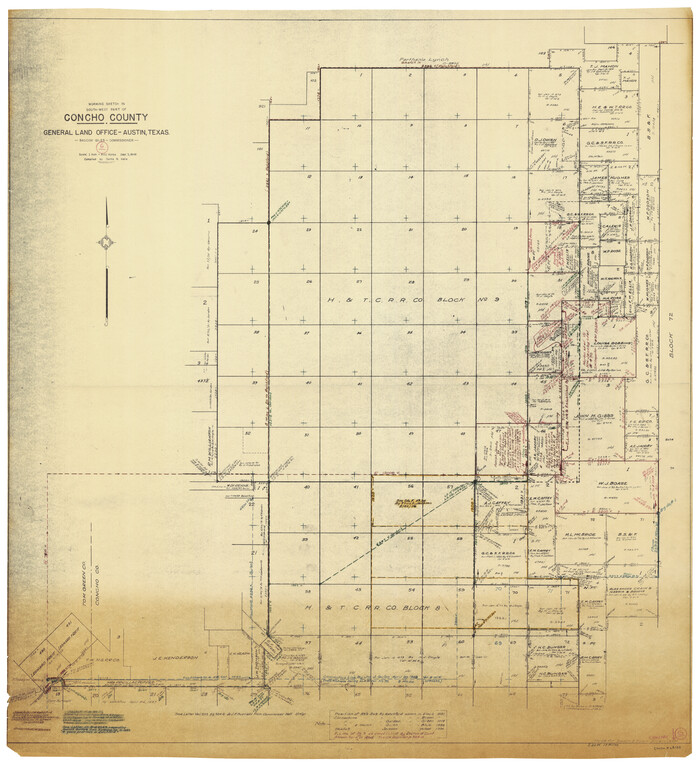

Print $20.00
- Digital $50.00
Concho County Working Sketch 6
1948
Size 47.3 x 43.2 inches
Map/Doc 68188
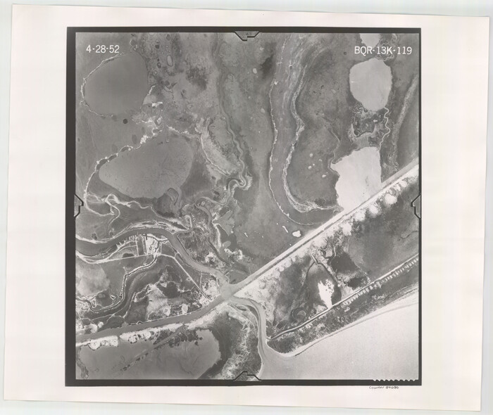
Flight Mission No. BQR-13K, Frame 119, Brazoria County

Print $20.00
- Digital $50.00
Flight Mission No. BQR-13K, Frame 119, Brazoria County
1952
Size 19.0 x 22.6 inches
Map/Doc 84080
Eastland County Working Sketch 3


Print $20.00
- Digital $50.00
Eastland County Working Sketch 3
1917
Size 16.5 x 20.2 inches
Map/Doc 68784
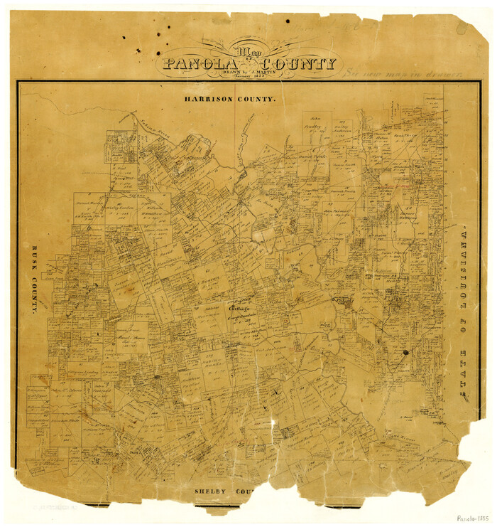
Map of Panola County

Print $20.00
- Digital $50.00
Map of Panola County
1855
Size 20.4 x 19.1 inches
Map/Doc 3939
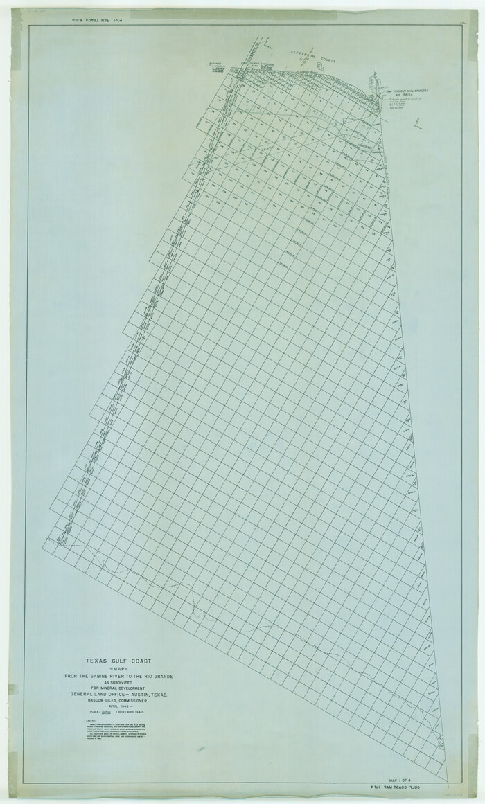
Texas Gulf Coast Map from the Sabine River to the Rio Grande as subdivided for mineral development

Print $40.00
- Digital $50.00
Texas Gulf Coast Map from the Sabine River to the Rio Grande as subdivided for mineral development
1948
Size 60.9 x 36.7 inches
Map/Doc 2909
Culberson County Sketch File 20

Print $57.00
- Digital $50.00
Culberson County Sketch File 20
Size 10.2 x 15.6 inches
Map/Doc 20205
Wharton County Sketch File 26


Print $4.00
- Digital $50.00
Wharton County Sketch File 26
1895
Size 11.0 x 8.8 inches
Map/Doc 39990
You may also like
General Highway Map, Cottle County, Texas
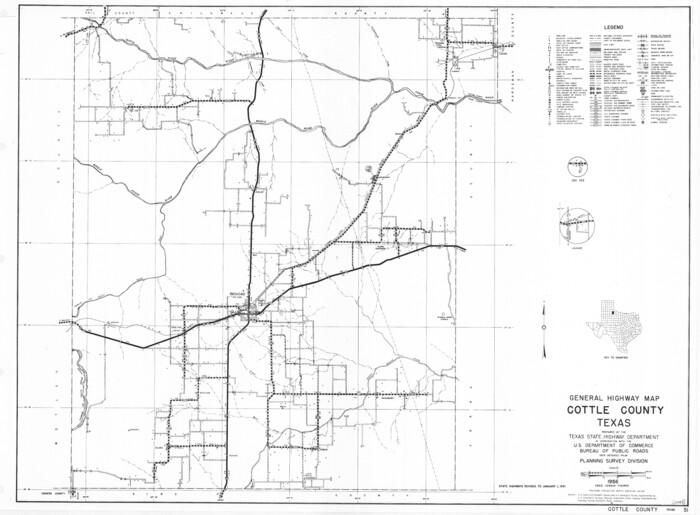

Print $20.00
General Highway Map, Cottle County, Texas
1961
Size 18.1 x 24.6 inches
Map/Doc 79423
Concho County Sketch File 24
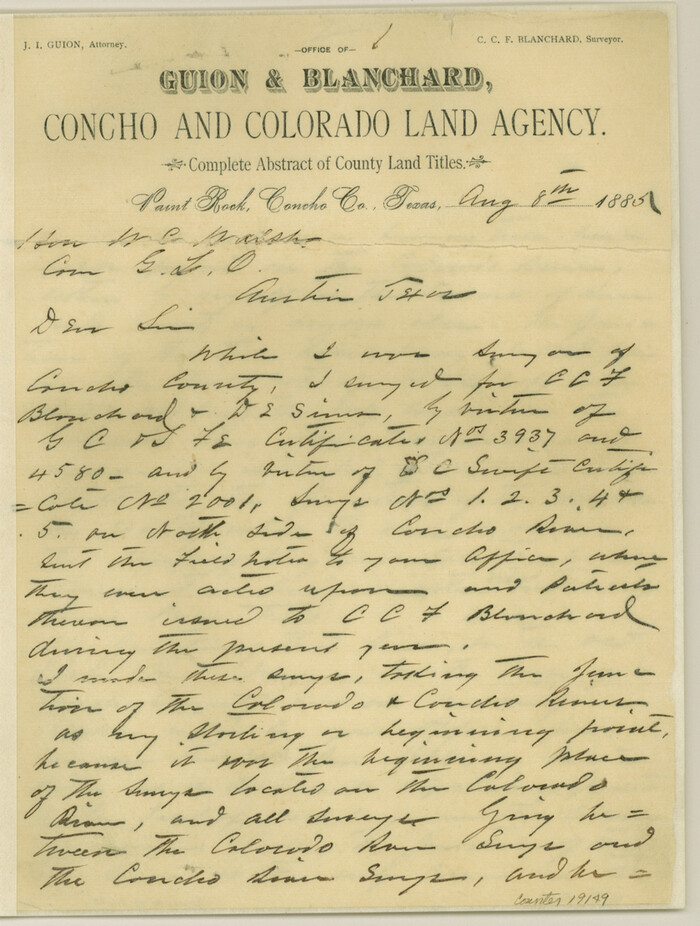

Print $12.00
- Digital $50.00
Concho County Sketch File 24
1885
Size 11.1 x 8.4 inches
Map/Doc 19149
Crosby County Rolled Sketch D
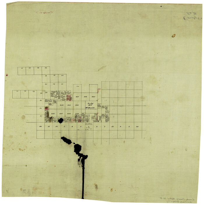

Print $20.00
- Digital $50.00
Crosby County Rolled Sketch D
Size 23.9 x 23.6 inches
Map/Doc 5643
Castro County Sketch File 4i

Print $4.00
- Digital $50.00
Castro County Sketch File 4i
Size 13.6 x 8.9 inches
Map/Doc 17481
Refugio County Working Sketch 8


Print $40.00
- Digital $50.00
Refugio County Working Sketch 8
1940
Size 56.7 x 42.9 inches
Map/Doc 63517
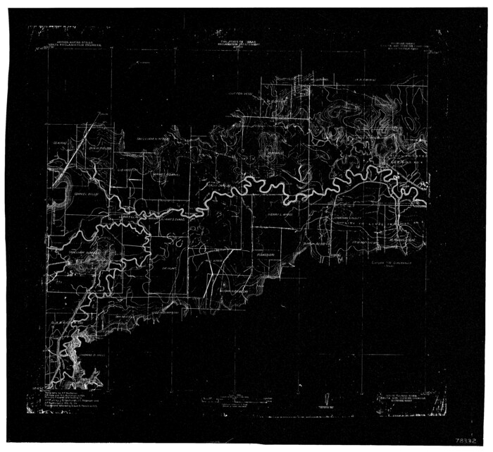
South Sulphur River, Klondike Sheet

Print $20.00
- Digital $50.00
South Sulphur River, Klondike Sheet
1925
Size 18.2 x 19.9 inches
Map/Doc 78332
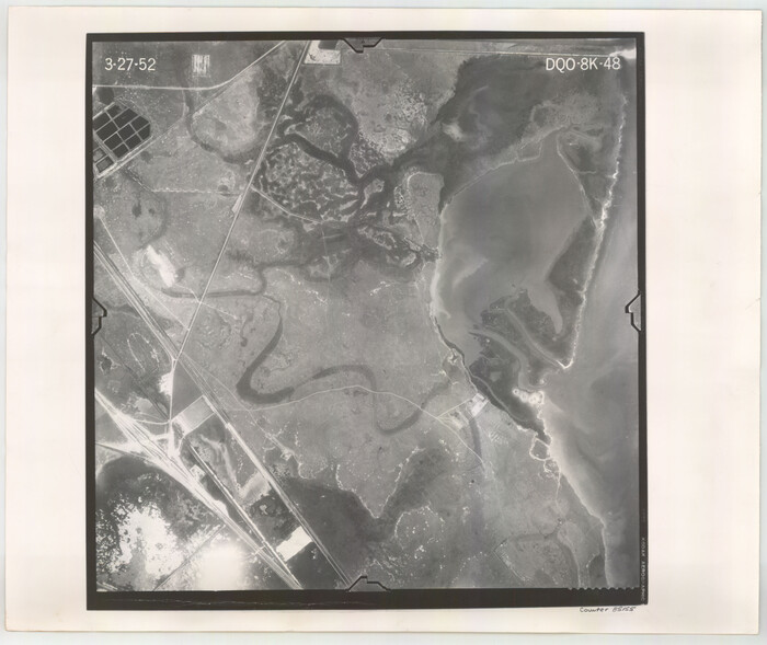
Flight Mission No. DQO-8K, Frame 48, Galveston County

Print $20.00
- Digital $50.00
Flight Mission No. DQO-8K, Frame 48, Galveston County
1952
Size 18.7 x 22.2 inches
Map/Doc 85155
Karnes County Boundary File 2


Print $12.00
- Digital $50.00
Karnes County Boundary File 2
Size 14.1 x 8.7 inches
Map/Doc 55686
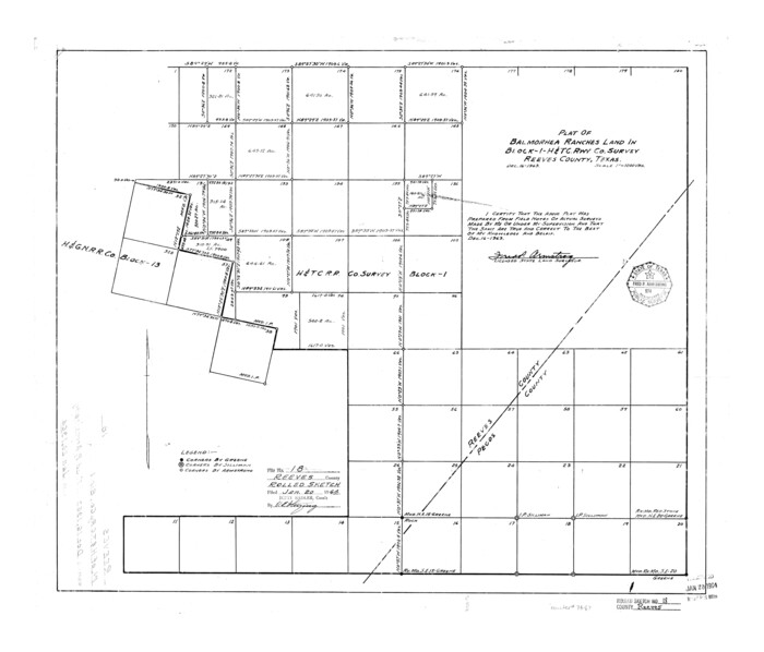
Reeves County Rolled Sketch 18

Print $20.00
- Digital $50.00
Reeves County Rolled Sketch 18
1963
Size 23.4 x 27.4 inches
Map/Doc 7487
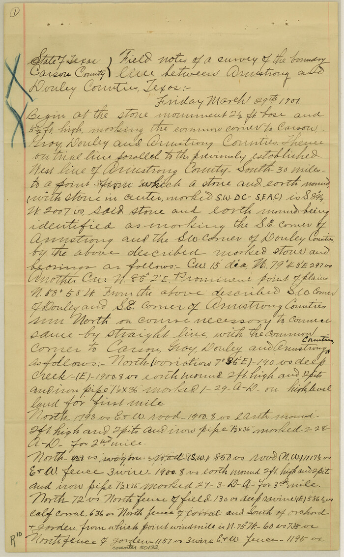
Armstrong County Boundary File 1c

Print $10.00
- Digital $50.00
Armstrong County Boundary File 1c
Size 14.1 x 8.7 inches
Map/Doc 50132
Cooke County Working Sketch 25
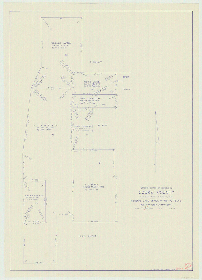

Print $20.00
- Digital $50.00
Cooke County Working Sketch 25
1974
Size 31.7 x 22.9 inches
Map/Doc 68262
![64121, [Beaumont, Sour Lake and Western Ry. Right of Way and Alignment - Frisco], General Map Collection](https://historictexasmaps.com/wmedia_w1800h1800/maps/64121.tif.jpg)

