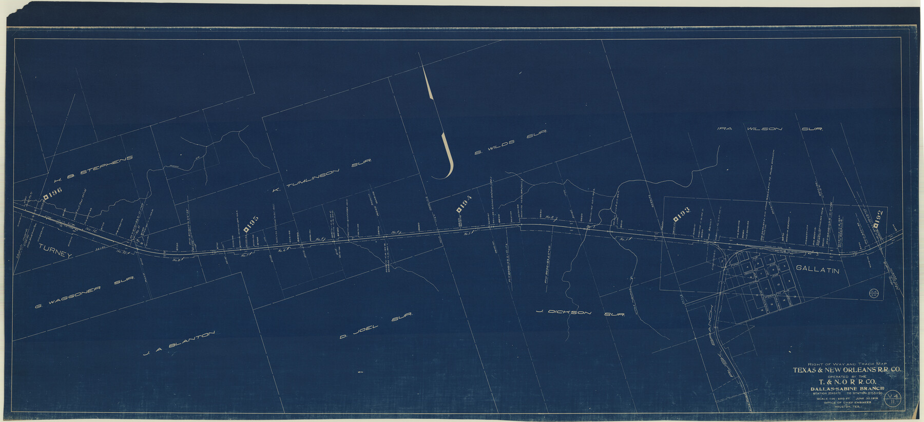
Right of Way and Track Map Texas & New Orleans R.R. Co. operated by the T. & N. O. R.R. Co. Dallas-Sabine Branch
Station 8545+70 to Station 8756+90
Z-2-45
-
Map/Doc
64153
-
Collection
General Map Collection
-
Object Dates
1918/6/30 (Creation Date)
-
Counties
Cherokee
-
Subjects
Railroads
-
Height x Width
26.1 x 57.1 inches
66.3 x 145.0 cm
-
Medium
blueprint/diazo
-
Scale
1" = 400'
-
Comments
See counter nos. 64150 through 64157 for all sheets.
-
Features
T&NO
Gallatin
Little Turnpike Creek
Turney
Part of: General Map Collection
United States - Gulf Coast Texas - Southern part of Laguna Madre

Print $20.00
- Digital $50.00
United States - Gulf Coast Texas - Southern part of Laguna Madre
1941
Size 27.0 x 18.3 inches
Map/Doc 72953
Parker County

Print $20.00
- Digital $50.00
Parker County
1942
Size 47.7 x 38.9 inches
Map/Doc 95609
Calhoun County NRC Article 33.136 Sketch 15

Print $46.00
Calhoun County NRC Article 33.136 Sketch 15
2025
Map/Doc 97428
Delta County Sketch File 6

Print $20.00
- Digital $50.00
Delta County Sketch File 6
Size 18.3 x 22.4 inches
Map/Doc 11310
Sketch G Showing the Progress of the Survey in Section VII From 1849 to 1852

Print $20.00
- Digital $50.00
Sketch G Showing the Progress of the Survey in Section VII From 1849 to 1852
1852
Size 13.6 x 25.8 inches
Map/Doc 97219
[Map of Polk County]
![4613, [Map of Polk County], General Map Collection](https://historictexasmaps.com/wmedia_w700/maps/4613-1.tif.jpg)
Print $20.00
- Digital $50.00
[Map of Polk County]
1855
Size 21.2 x 31.0 inches
Map/Doc 4613
Hockley County

Print $20.00
- Digital $50.00
Hockley County
1914
Size 25.9 x 23.1 inches
Map/Doc 4980
Harris County Sketch File 95

Print $20.00
- Digital $50.00
Harris County Sketch File 95
1952
Size 31.6 x 17.1 inches
Map/Doc 11678
Crockett County Rolled Sketch 75

Print $20.00
- Digital $50.00
Crockett County Rolled Sketch 75
1949
Size 17.6 x 21.1 inches
Map/Doc 5616

Mitchell County Sketch File X

Print $20.00
- Digital $50.00
Mitchell County Sketch File X
1908
Size 29.9 x 17.7 inches
Map/Doc 12104
Burnet County Boundary File 12c

Print $8.00
- Digital $50.00
Burnet County Boundary File 12c
Size 12.8 x 8.3 inches
Map/Doc 50964
You may also like
Rusk County Sketch File 12

Print $6.00
- Digital $50.00
Rusk County Sketch File 12
1845
Size 8.4 x 7.9 inches
Map/Doc 35511
Frio County Working Sketch 11

Print $20.00
- Digital $50.00
Frio County Working Sketch 11
1952
Size 22.9 x 20.0 inches
Map/Doc 69285
Hood County Working Sketch 8

Print $20.00
- Digital $50.00
Hood County Working Sketch 8
1971
Size 30.1 x 37.8 inches
Map/Doc 66202
[Plainview with Highland Addition]
![92662, [Plainview with Highland Addition], Twichell Survey Records](https://historictexasmaps.com/wmedia_w700/maps/92662-1.tif.jpg)
Print $40.00
- Digital $50.00
[Plainview with Highland Addition]
Size 54.0 x 27.4 inches
Map/Doc 92662
Sketch showing progress of topographical work Laguna Madre and vicinity from Rainey Is. to Baffins Bay, Coast of Texas Sect. IX [and accompanying letter]
![72960, Sketch showing progress of topographical work Laguna Madre and vicinity from Rainey Is. to Baffins Bay, Coast of Texas Sect. IX [and accompanying letter], General Map Collection](https://historictexasmaps.com/wmedia_w700/maps/72960.tif.jpg)
Print $2.00
- Digital $50.00
Sketch showing progress of topographical work Laguna Madre and vicinity from Rainey Is. to Baffins Bay, Coast of Texas Sect. IX [and accompanying letter]
1881
Size 11.1 x 8.8 inches
Map/Doc 72960
[Surveys along the Nueces River, San Patricio District]
![69738, [Surveys along the Nueces River, San Patricio District], General Map Collection](https://historictexasmaps.com/wmedia_w700/maps/69738.tif.jpg)
Print $2.00
- Digital $50.00
[Surveys along the Nueces River, San Patricio District]
1842
Size 10.3 x 7.9 inches
Map/Doc 69738
North Line of Lynn County and South Line of Lubbock County

Print $20.00
- Digital $50.00
North Line of Lynn County and South Line of Lubbock County
1892
Size 8.0 x 34.2 inches
Map/Doc 91393
[Blocks A-6, A-7, G, C-35, C-34]
![92816, [Blocks A-6, A-7, G, C-35, C-34], Twichell Survey Records](https://historictexasmaps.com/wmedia_w700/maps/92816-1.tif.jpg)
Print $20.00
- Digital $50.00
[Blocks A-6, A-7, G, C-35, C-34]
Size 43.5 x 20.2 inches
Map/Doc 92816
Polk County Working Sketch 38

Print $20.00
- Digital $50.00
Polk County Working Sketch 38
1975
Size 25.4 x 23.5 inches
Map/Doc 71655
Ada, Gaines County, Texas

Print $20.00
- Digital $50.00
Ada, Gaines County, Texas
Size 24.1 x 25.8 inches
Map/Doc 92689
Carte de la Nouvelle France ou le voit le cours des Grandes Rivieres de S. Laurens & de Mississipi

Print $20.00
- Digital $50.00
Carte de la Nouvelle France ou le voit le cours des Grandes Rivieres de S. Laurens & de Mississipi
1720
Size 25.9 x 41.5 inches
Map/Doc 93822
Brewster County Rolled Sketch 114

Print $20.00
- Digital $50.00
Brewster County Rolled Sketch 114
1964
Size 11.8 x 18.5 inches
Map/Doc 5264