Sketch showing progress of topographical work Laguna Madre and vicinity from Rainey Is. to Baffins Bay, Coast of Texas Sect. IX [and accompanying letter]
RL-4-4a
-
Map/Doc
72960
-
Collection
General Map Collection
-
Object Dates
1881/8/17 (Creation Date)
-
People and Organizations
R.E. Colten (Author)
R.E. Colten (Surveyor/Engineer)
-
Subjects
Nautical Charts
-
Height x Width
11.1 x 8.8 inches
28.2 x 22.4 cm
-
Comments
B/W photocopy from National Archives in multiple pieces.
Part of: General Map Collection
King County Rolled Sketch 11
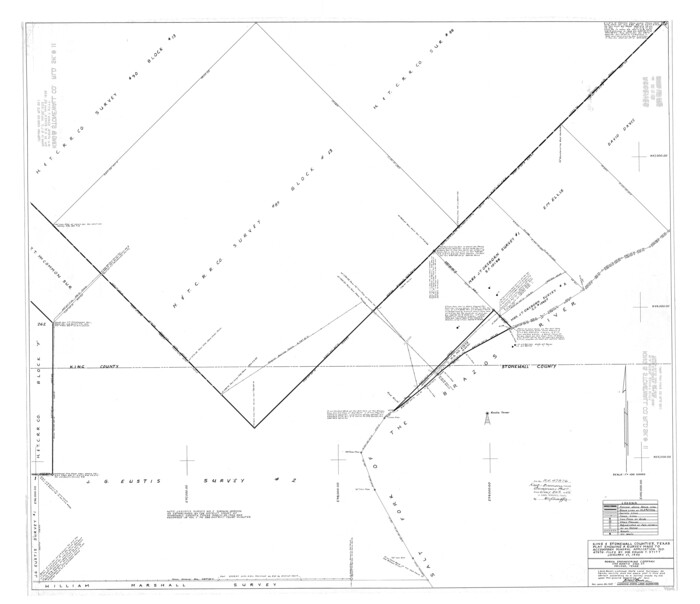

Print $20.00
- Digital $50.00
King County Rolled Sketch 11
1955
Size 40.2 x 46.6 inches
Map/Doc 9351
Dimmit County Working Sketch 56
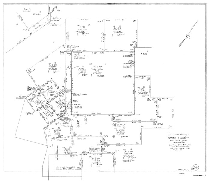

Print $20.00
- Digital $50.00
Dimmit County Working Sketch 56
1990
Size 23.0 x 29.0 inches
Map/Doc 68717
Kerr County Rolled Sketch 11A
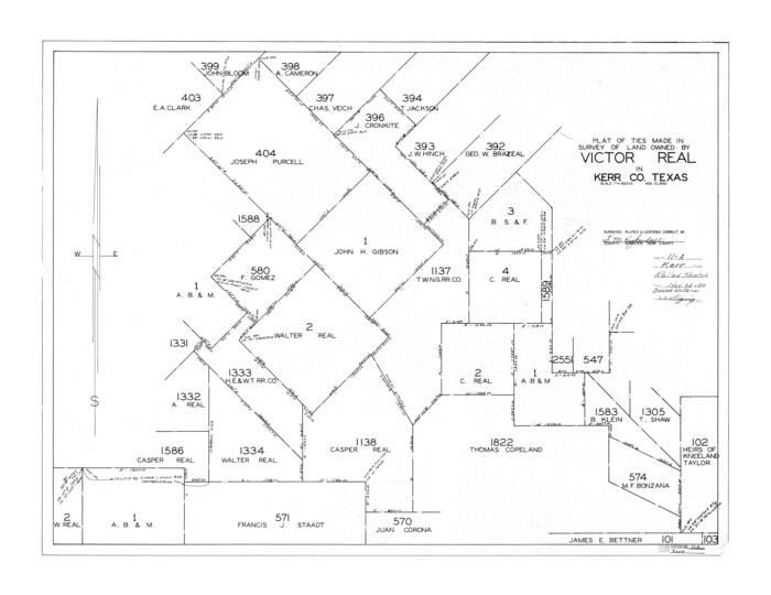

Print $20.00
- Digital $50.00
Kerr County Rolled Sketch 11A
1950
Size 27.8 x 36.0 inches
Map/Doc 6496
Edwards County Sketch File 36


Print $20.00
- Digital $50.00
Edwards County Sketch File 36
Size 18.3 x 18.7 inches
Map/Doc 11436
Smith County Rolled Sketch 6A2


Print $40.00
- Digital $50.00
Smith County Rolled Sketch 6A2
1934
Size 48.7 x 36.7 inches
Map/Doc 10702
Hall County Sketch File 9
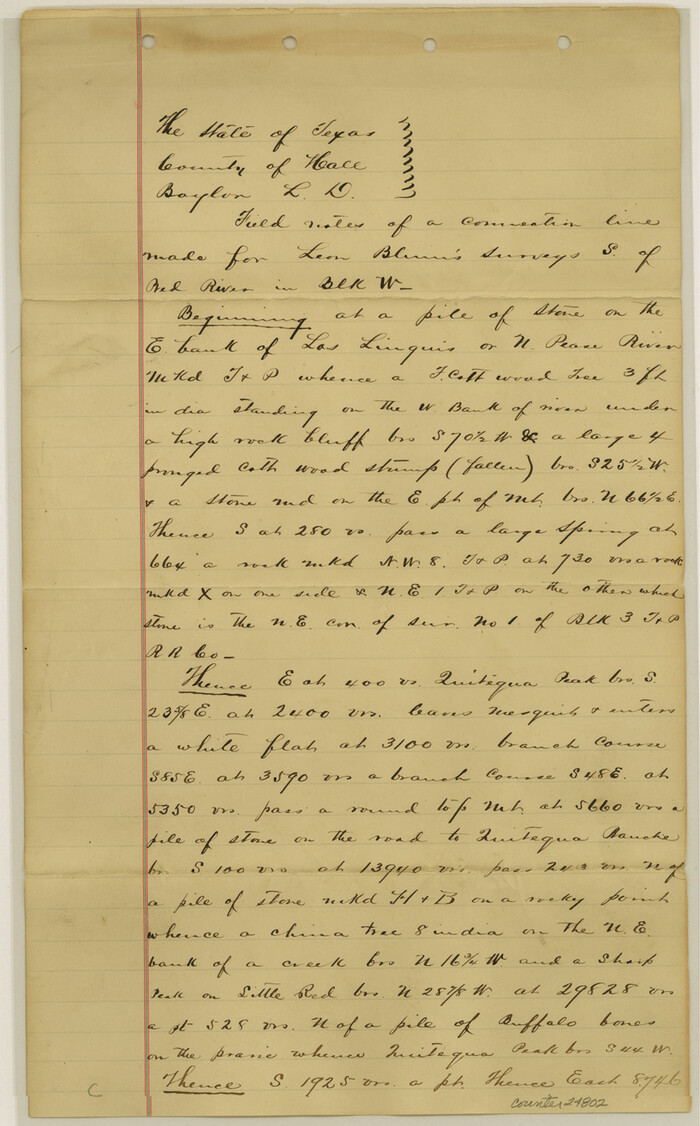

Print $12.00
- Digital $50.00
Hall County Sketch File 9
Size 14.3 x 8.9 inches
Map/Doc 24802
Wichita County Sketch File 3


Print $8.00
- Digital $50.00
Wichita County Sketch File 3
1856
Size 7.2 x 16.3 inches
Map/Doc 40033
Wilbarger County Working Sketch 9
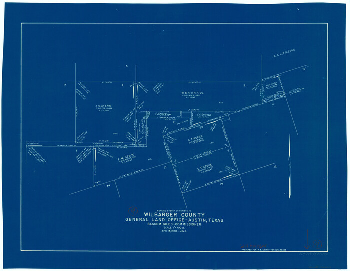

Print $20.00
- Digital $50.00
Wilbarger County Working Sketch 9
1950
Size 21.3 x 27.6 inches
Map/Doc 72547
Tom Green Co.
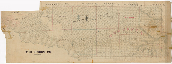

Print $40.00
- Digital $50.00
Tom Green Co.
1887
Size 42.0 x 110.7 inches
Map/Doc 76034
Pecos County Sketch File 28a


Print $14.00
- Digital $50.00
Pecos County Sketch File 28a
1911
Size 14.5 x 8.9 inches
Map/Doc 33683
[Sketch for Mineral Application 33721 - 33725 Incl. - Padre and Mustang Island]
![2869, [Sketch for Mineral Application 33721 - 33725 Incl. - Padre and Mustang Island], General Map Collection](https://historictexasmaps.com/wmedia_w700/maps/2869.tif.jpg)
![2869, [Sketch for Mineral Application 33721 - 33725 Incl. - Padre and Mustang Island], General Map Collection](https://historictexasmaps.com/wmedia_w700/maps/2869.tif.jpg)
Print $20.00
- Digital $50.00
[Sketch for Mineral Application 33721 - 33725 Incl. - Padre and Mustang Island]
1942
Size 22.2 x 22.3 inches
Map/Doc 2869
Hockley County Boundary File 4

Print $76.00
- Digital $50.00
Hockley County Boundary File 4
Size 14.3 x 8.7 inches
Map/Doc 54810
You may also like
McLennan County Boundary File 3a

Print $30.00
- Digital $50.00
McLennan County Boundary File 3a
Size 14.1 x 8.5 inches
Map/Doc 56967
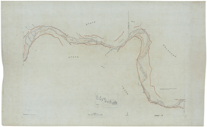
In the Supreme Court of the United States, The State of Oklahoma, Complainant vs. The State of Texas, Defendant, The United States of America, Intervener, Red River Valley, Texas and Oklahoma Between the 98th and 100th Meridians in Five Sheets, 1921

Print $40.00
- Digital $50.00
In the Supreme Court of the United States, The State of Oklahoma, Complainant vs. The State of Texas, Defendant, The United States of America, Intervener, Red River Valley, Texas and Oklahoma Between the 98th and 100th Meridians in Five Sheets, 1921
1921
Size 37.1 x 60.6 inches
Map/Doc 75278
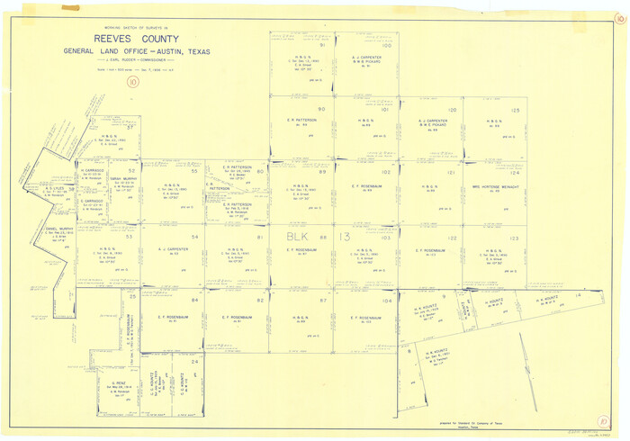
Reeves County Working Sketch 10

Print $20.00
- Digital $50.00
Reeves County Working Sketch 10
1956
Size 26.0 x 37.2 inches
Map/Doc 63453
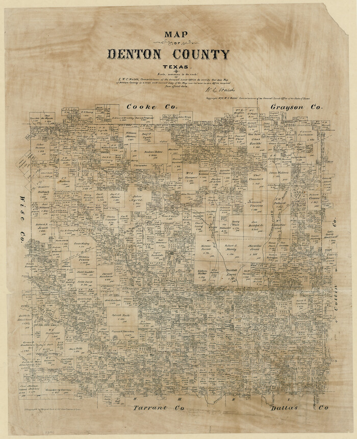
Map of Denton County, Texas

Print $20.00
- Digital $50.00
Map of Denton County, Texas
Size 22.8 x 19.4 inches
Map/Doc 711
Crockett County Rolled Sketch 88M


Print $20.00
- Digital $50.00
Crockett County Rolled Sketch 88M
1964
Size 25.2 x 34.2 inches
Map/Doc 5629
Mason County Sketch File 20


Print $12.00
- Digital $50.00
Mason County Sketch File 20
1901
Size 14.0 x 8.6 inches
Map/Doc 30711
Kinney County Working Sketch 39


Print $20.00
- Digital $50.00
Kinney County Working Sketch 39
1972
Size 37.7 x 44.8 inches
Map/Doc 70221
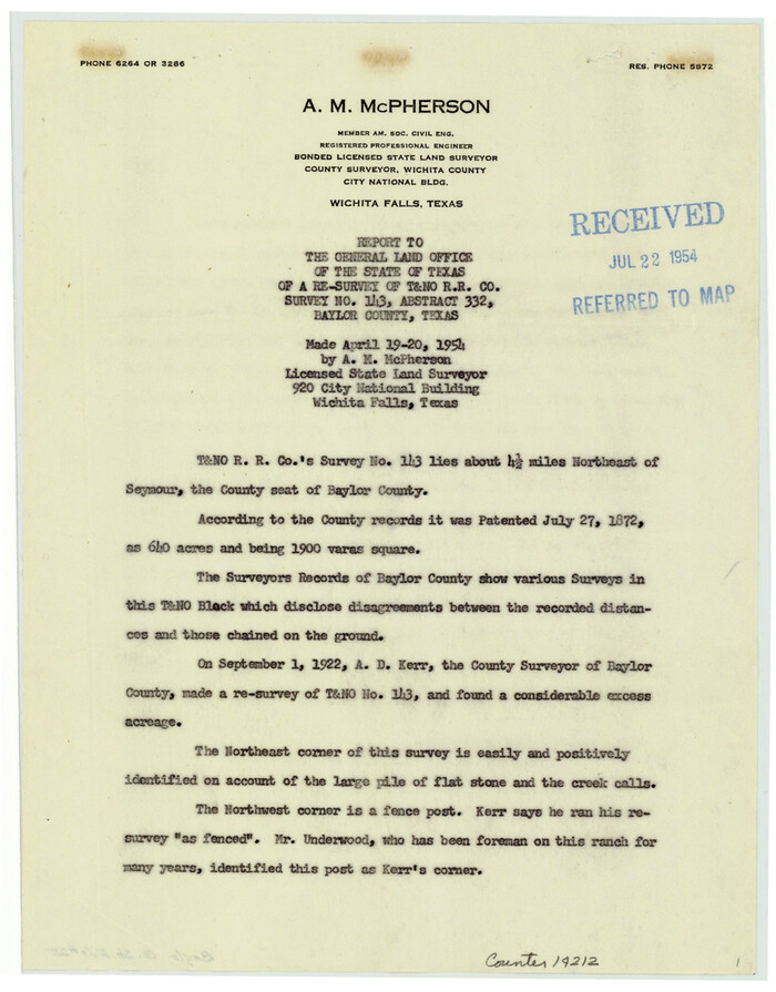
Baylor County Sketch File 25

Print $46.00
- Digital $50.00
Baylor County Sketch File 25
1954
Size 11.5 x 9.0 inches
Map/Doc 14212
Brewster County Rolled Sketch 81
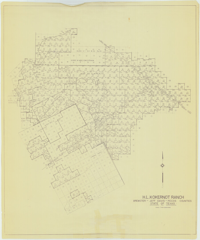

Print $20.00
- Digital $50.00
Brewster County Rolled Sketch 81
Size 38.9 x 32.6 inches
Map/Doc 41812
Kenedy County Sketch File 2
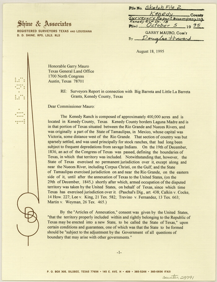

Print $130.00
- Digital $50.00
Kenedy County Sketch File 2
1995
Size 11.2 x 8.7 inches
Map/Doc 28773
Dallas County Working Sketch 7


Print $20.00
- Digital $50.00
Dallas County Working Sketch 7
1952
Size 17.3 x 23.5 inches
Map/Doc 68573
Nueces County Rolled Sketch 104A
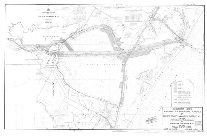

Print $40.00
- Digital $50.00
Nueces County Rolled Sketch 104A
1975
Size 54.2 x 35.9 inches
Map/Doc 10293
![72960, Sketch showing progress of topographical work Laguna Madre and vicinity from Rainey Is. to Baffins Bay, Coast of Texas Sect. IX [and accompanying letter], General Map Collection](https://historictexasmaps.com/wmedia_w1800h1800/maps/72960.tif.jpg)