[Texas & Pacific Railway through Callahan County]
Z-2-57
-
Map/Doc
64231
-
Collection
General Map Collection
-
Object Dates
1918 (Creation Date)
-
Counties
Callahan Eastland
-
Subjects
Railroads
-
Height x Width
21.2 x 9.5 inches
53.8 x 24.1 cm
-
Medium
blueprint/diazo
-
Comments
See 64232-64239 for other segments of the map. See 64230 (PDF) for the documents/letter that accompanied the map.
-
Features
Dinner Branch of Battle Creek
Dothan
T&P
Battle Creek
South Fork of Battle Creek
East Fork of Battle Creek
Part of: General Map Collection
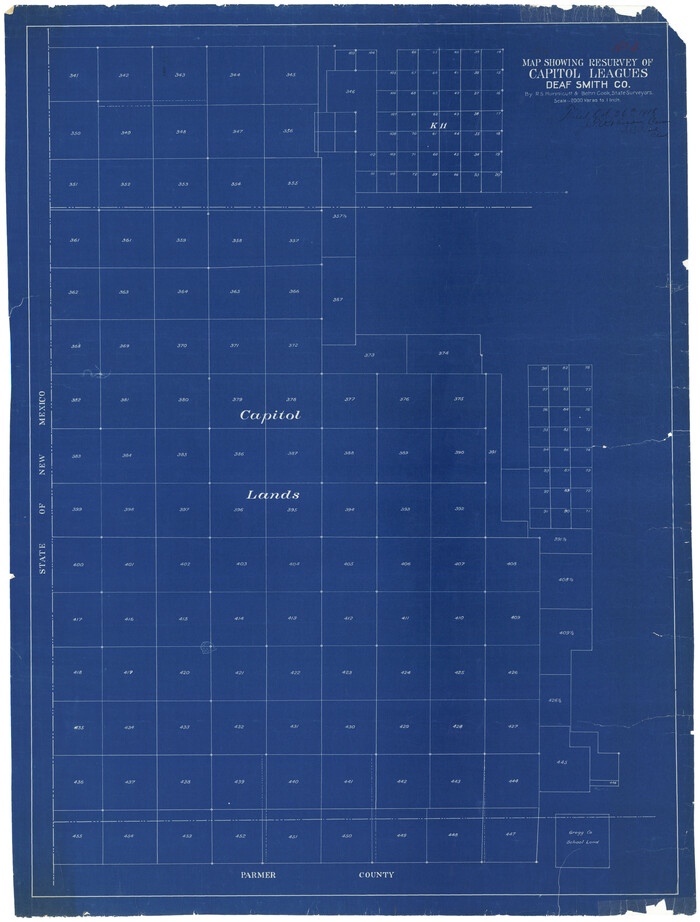
Map Showing Resurvey of Capitol Leagues, Deaf Smith Co.

Print $20.00
- Digital $50.00
Map Showing Resurvey of Capitol Leagues, Deaf Smith Co.
1918
Size 42.5 x 31.9 inches
Map/Doc 1756
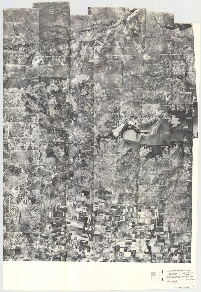
Baylor County Aerial Photograph Index Sheet 2

Print $20.00
- Digital $50.00
Baylor County Aerial Photograph Index Sheet 2
1950
Size 22.2 x 15.4 inches
Map/Doc 83664
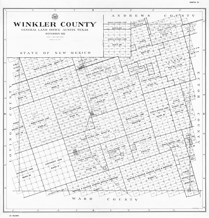
Winkler County

Print $20.00
- Digital $50.00
Winkler County
1932
Size 40.3 x 40.1 inches
Map/Doc 77462
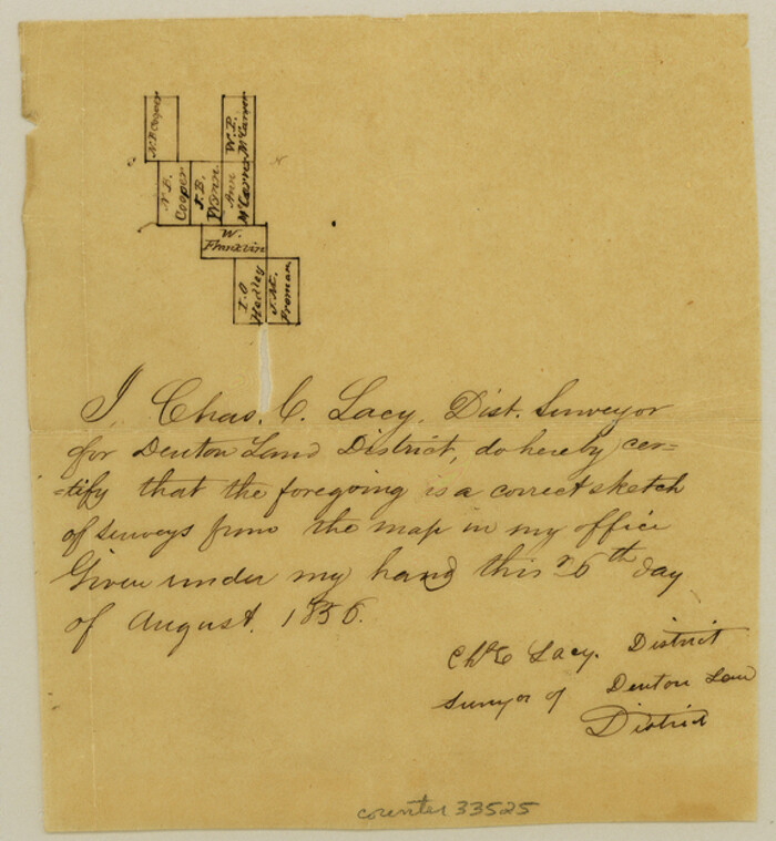
Parker County Sketch File 4

Print $6.00
- Digital $50.00
Parker County Sketch File 4
1856
Size 6.2 x 5.8 inches
Map/Doc 33525
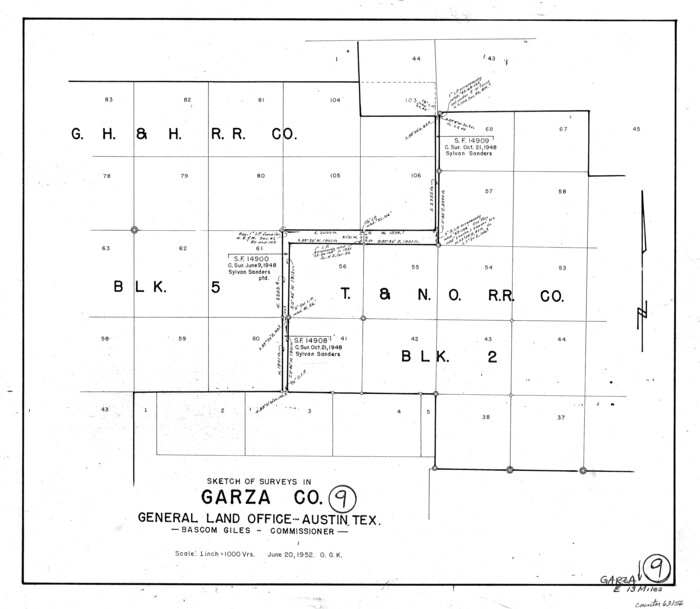
Garza County Working Sketch 9

Print $20.00
- Digital $50.00
Garza County Working Sketch 9
1952
Size 15.7 x 18.0 inches
Map/Doc 63156
Brazoria County Boundary File 2


Print $140.00
- Digital $50.00
Brazoria County Boundary File 2
Size 12.8 x 9.8 inches
Map/Doc 50704
Eastland County Sketch File 14


Print $8.00
- Digital $50.00
Eastland County Sketch File 14
Size 11.5 x 9.2 inches
Map/Doc 21595
Pecos County Sketch File 56

Print $20.00
- Digital $50.00
Pecos County Sketch File 56
Size 35.6 x 28.6 inches
Map/Doc 10571
[Capitol League Surveys in Hartley County, Texas]
![1766, [Capitol League Surveys in Hartley County, Texas], General Map Collection](https://historictexasmaps.com/wmedia_w700/maps/1766.tif.jpg)
![1766, [Capitol League Surveys in Hartley County, Texas], General Map Collection](https://historictexasmaps.com/wmedia_w700/maps/1766.tif.jpg)
Print $20.00
- Digital $50.00
[Capitol League Surveys in Hartley County, Texas]
1910
Size 19.6 x 27.9 inches
Map/Doc 1766
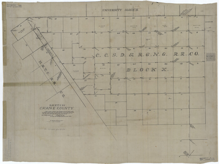
Crane County Rolled Sketch 7

Print $20.00
- Digital $50.00
Crane County Rolled Sketch 7
1927
Size 33.4 x 44.8 inches
Map/Doc 8679
Flight Mission No. DIX-5P, Frame 116, Aransas County

Print $20.00
- Digital $50.00
Flight Mission No. DIX-5P, Frame 116, Aransas County
1956
Size 17.8 x 18.1 inches
Map/Doc 83795
Aransas County Rolled Sketch 15


Print $20.00
- Digital $50.00
Aransas County Rolled Sketch 15
1889
Size 39.3 x 38.0 inches
Map/Doc 78223
You may also like
Flight Mission No. CUG-2P, Frame 68, Kleberg County
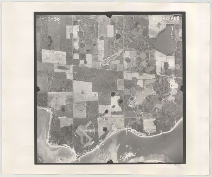

Print $20.00
- Digital $50.00
Flight Mission No. CUG-2P, Frame 68, Kleberg County
1956
Size 18.5 x 22.3 inches
Map/Doc 86205
Galveston County NRC Article 33.136 Sketch 99
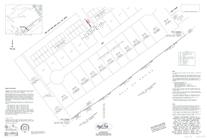

Print $26.00
Galveston County NRC Article 33.136 Sketch 99
2024
Map/Doc 97422
Mills County Boundary File 5a
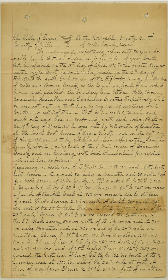

Print $14.00
- Digital $50.00
Mills County Boundary File 5a
Size 14.3 x 8.6 inches
Map/Doc 57300
Gaines County Sketch File 1
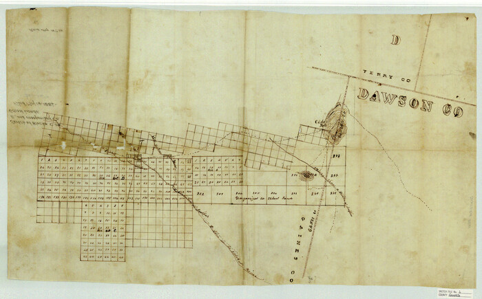

Print $20.00
- Digital $50.00
Gaines County Sketch File 1
Size 19.1 x 30.7 inches
Map/Doc 11521
Map of Kerr County


Print $20.00
- Digital $50.00
Map of Kerr County
1878
Size 20.5 x 25.7 inches
Map/Doc 3762
Stonewall County Working Sketch 12
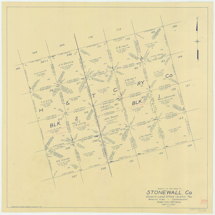

Print $20.00
- Digital $50.00
Stonewall County Working Sketch 12
1950
Size 27.9 x 27.9 inches
Map/Doc 62319
Mitchell County Working Sketch 6
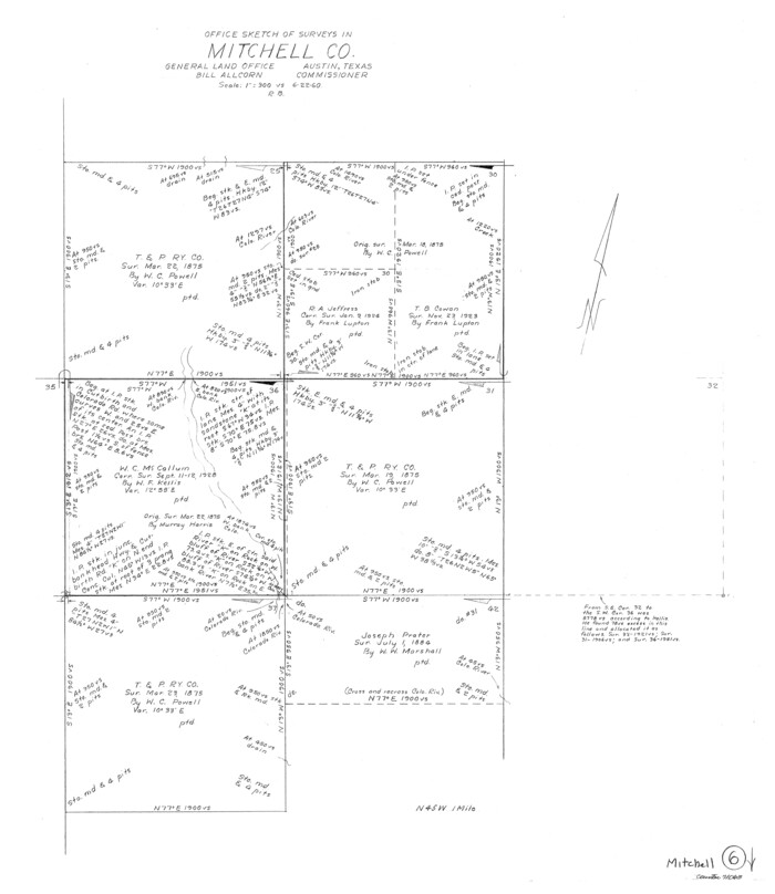

Print $20.00
- Digital $50.00
Mitchell County Working Sketch 6
1960
Size 26.1 x 22.6 inches
Map/Doc 71063
Matagorda County NRC Article 33.136 Sketch 10
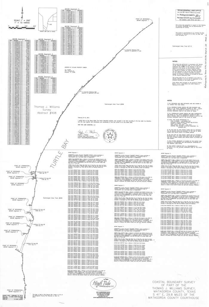

Print $46.00
- Digital $50.00
Matagorda County NRC Article 33.136 Sketch 10
2013
Size 24.0 x 36.0 inches
Map/Doc 94519
Gulf, Texas & Western Railway


Print $40.00
- Digital $50.00
Gulf, Texas & Western Railway
1909
Size 18.5 x 121.0 inches
Map/Doc 64430
Map and Profile of Georgetown Railroad


Print $20.00
- Digital $50.00
Map and Profile of Georgetown Railroad
1879
Size 18.9 x 41.5 inches
Map/Doc 64453
General Highway Map of Garza County, Texas


Print $20.00
- Digital $50.00
General Highway Map of Garza County, Texas
1950
Size 25.9 x 18.8 inches
Map/Doc 92646
[Surveying Sketch of T. & N. O. R. R. Co., S. P. R. R. Co., E. T. R. R. Co., et al in Dallam, Hartley, Sherman & Moore Counties, Texas]
![75824, [Surveying Sketch of T. & N. O. R. R. Co., S. P. R. R. Co., E. T. R. R. Co., et al in Dallam, Hartley, Sherman & Moore Counties, Texas], Maddox Collection](https://historictexasmaps.com/wmedia_w700/maps/75824.tif.jpg)
![75824, [Surveying Sketch of T. & N. O. R. R. Co., S. P. R. R. Co., E. T. R. R. Co., et al in Dallam, Hartley, Sherman & Moore Counties, Texas], Maddox Collection](https://historictexasmaps.com/wmedia_w700/maps/75824.tif.jpg)
Print $20.00
- Digital $50.00
[Surveying Sketch of T. & N. O. R. R. Co., S. P. R. R. Co., E. T. R. R. Co., et al in Dallam, Hartley, Sherman & Moore Counties, Texas]
Size 17.5 x 22.1 inches
Map/Doc 75824
![64231, [Texas & Pacific Railway through Callahan County], General Map Collection](https://historictexasmaps.com/wmedia_w1800h1800/maps/64231.tif.jpg)