[Texas & Pacific Railway through Callahan County]
Z-2-57
-
Map/Doc
64235
-
Collection
General Map Collection
-
Object Dates
1918 (Creation Date)
-
Counties
Callahan
-
Subjects
Railroads
-
Height x Width
23.2 x 8.3 inches
58.9 x 21.1 cm
-
Medium
blueprint/diazo
-
Comments
See 64231-64234 and 64236-64239 for other segments of the map. See 64230 (PDF) for the documents/letter that accompanied the map.
-
Features
T&P
Mexia Creek
Part of: General Map Collection
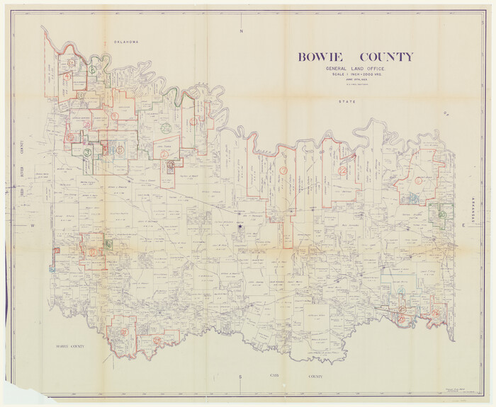
Bowie County Working Sketch Graphic Index

Print $20.00
- Digital $50.00
Bowie County Working Sketch Graphic Index
1933
Size 38.9 x 47.1 inches
Map/Doc 76470
Galveston County Sketch File 56

Print $4.00
- Digital $50.00
Galveston County Sketch File 56
1892
Size 11.2 x 8.8 inches
Map/Doc 23601
Webb County Sketch File 1a


Print $20.00
- Digital $50.00
Webb County Sketch File 1a
1871
Size 23.3 x 18.0 inches
Map/Doc 12623
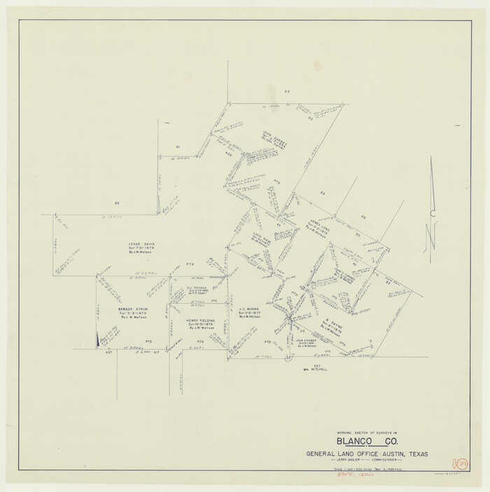
Blanco County Working Sketch 27

Print $20.00
- Digital $50.00
Blanco County Working Sketch 27
1969
Size 31.9 x 31.8 inches
Map/Doc 67387
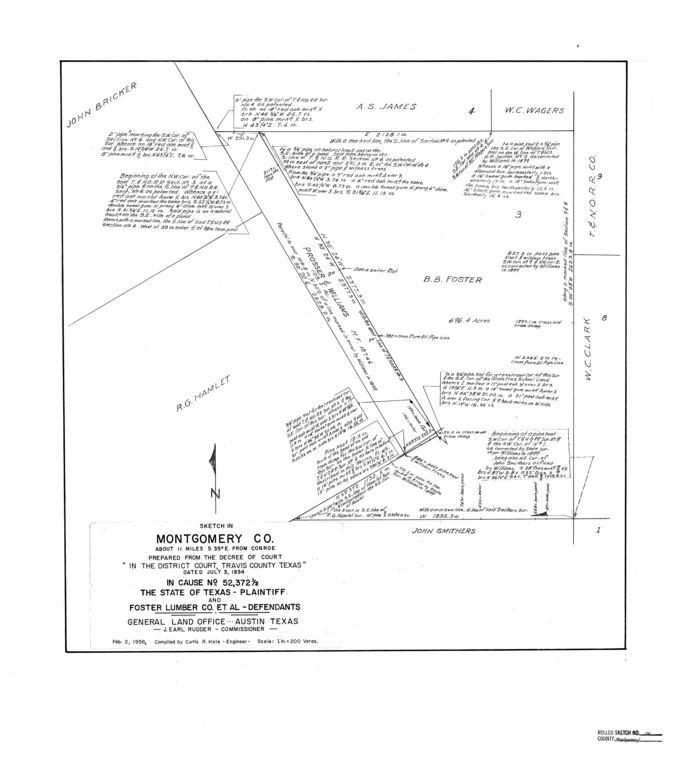
Montgomery County Rolled Sketch 36

Print $20.00
- Digital $50.00
Montgomery County Rolled Sketch 36
1956
Size 25.8 x 23.6 inches
Map/Doc 6812
Real County Working Sketch 40


Print $20.00
- Digital $50.00
Real County Working Sketch 40
1952
Size 31.5 x 22.5 inches
Map/Doc 71932
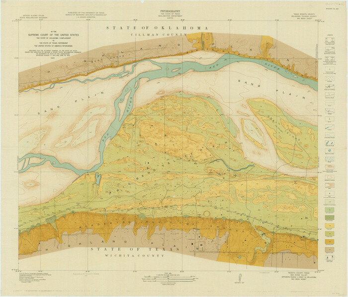
In the Supreme Court of the United States The State of Oklahoma, Complainant vs. The State of Texas, Defendant, The United States of America, Intervener - 1920

Print $20.00
- Digital $50.00
In the Supreme Court of the United States The State of Oklahoma, Complainant vs. The State of Texas, Defendant, The United States of America, Intervener - 1920
1920
Size 31.6 x 37.2 inches
Map/Doc 75115
[Galveston, Harrisburg & San Antonio through El Paso County]
![64013, [Galveston, Harrisburg & San Antonio through El Paso County], General Map Collection](https://historictexasmaps.com/wmedia_w700/maps/64013.tif.jpg)
![64013, [Galveston, Harrisburg & San Antonio through El Paso County], General Map Collection](https://historictexasmaps.com/wmedia_w700/maps/64013.tif.jpg)
Print $20.00
- Digital $50.00
[Galveston, Harrisburg & San Antonio through El Paso County]
1906
Size 13.5 x 33.5 inches
Map/Doc 64013
Hopkins County Sketch File 2

Print $28.00
- Digital $50.00
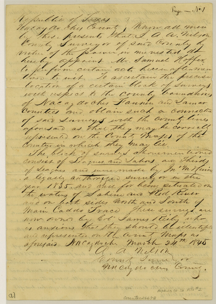
Hopkins County Sketch File 2
1845
Size 11.1 x 7.9 inches
Map/Doc 26678
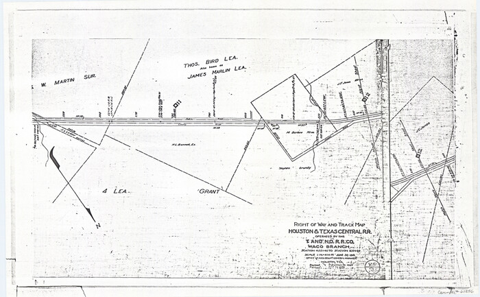
Railroad Track Map, H&TCRRCo., Falls County, Texas

Print $4.00
- Digital $50.00
Railroad Track Map, H&TCRRCo., Falls County, Texas
1918
Size 11.5 x 18.5 inches
Map/Doc 62856
Terrell County Working Sketch 74
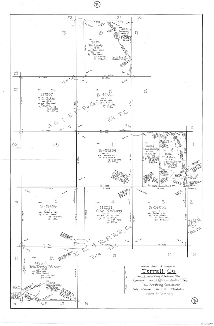

Print $20.00
- Digital $50.00
Terrell County Working Sketch 74
1981
Size 37.5 x 24.6 inches
Map/Doc 69595
Wheeler County Working Sketch 16
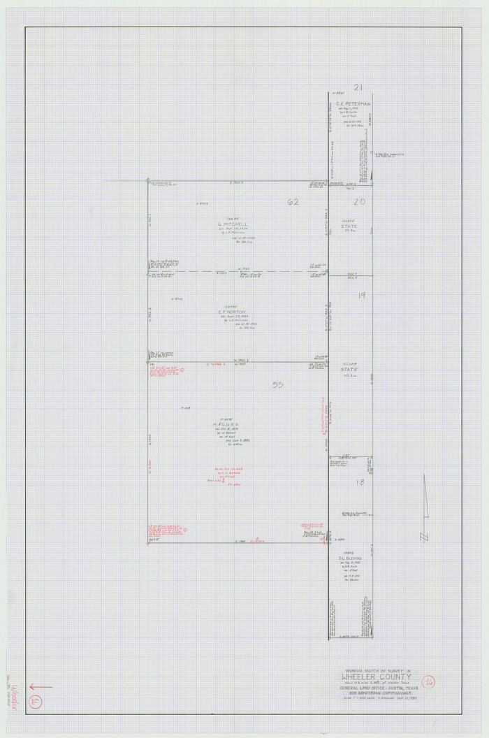

Print $20.00
- Digital $50.00
Wheeler County Working Sketch 16
1982
Size 38.9 x 25.8 inches
Map/Doc 72505
You may also like
Scurry County Working Sketch Graphic Index


Print $20.00
- Digital $50.00
Scurry County Working Sketch Graphic Index
1921
Size 39.9 x 37.0 inches
Map/Doc 76695
Hutchinson County Rolled Sketch 44-17
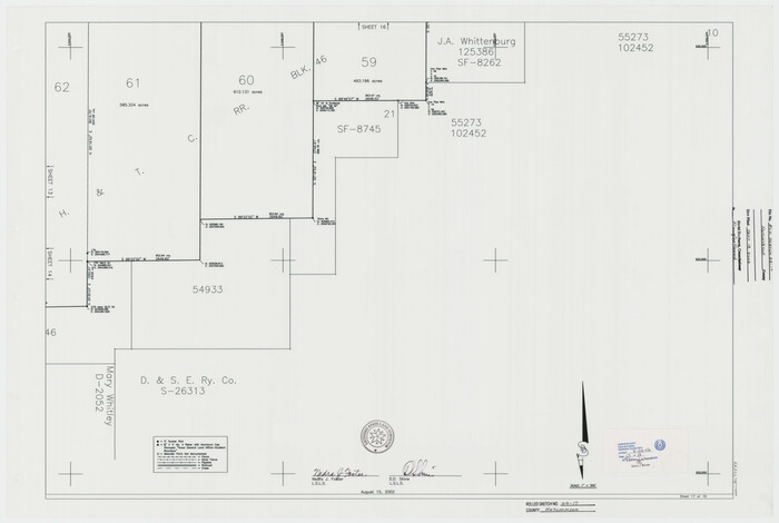

Print $20.00
- Digital $50.00
Hutchinson County Rolled Sketch 44-17
2002
Size 24.0 x 36.0 inches
Map/Doc 77553
Andrews County


Print $20.00
- Digital $50.00
Andrews County
1887
Size 22.8 x 25.8 inches
Map/Doc 3230
Borden County Boundary File 1
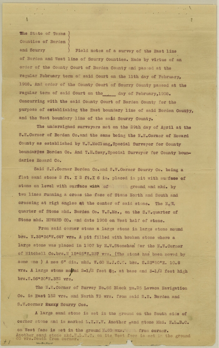

Print $60.00
- Digital $50.00
Borden County Boundary File 1
Size 13.7 x 8.7 inches
Map/Doc 50605
Thomas Ross Survey


Print $20.00
- Digital $50.00
Thomas Ross Survey
1954
Size 16.8 x 17.6 inches
Map/Doc 92181
Kimble County Working Sketch 50
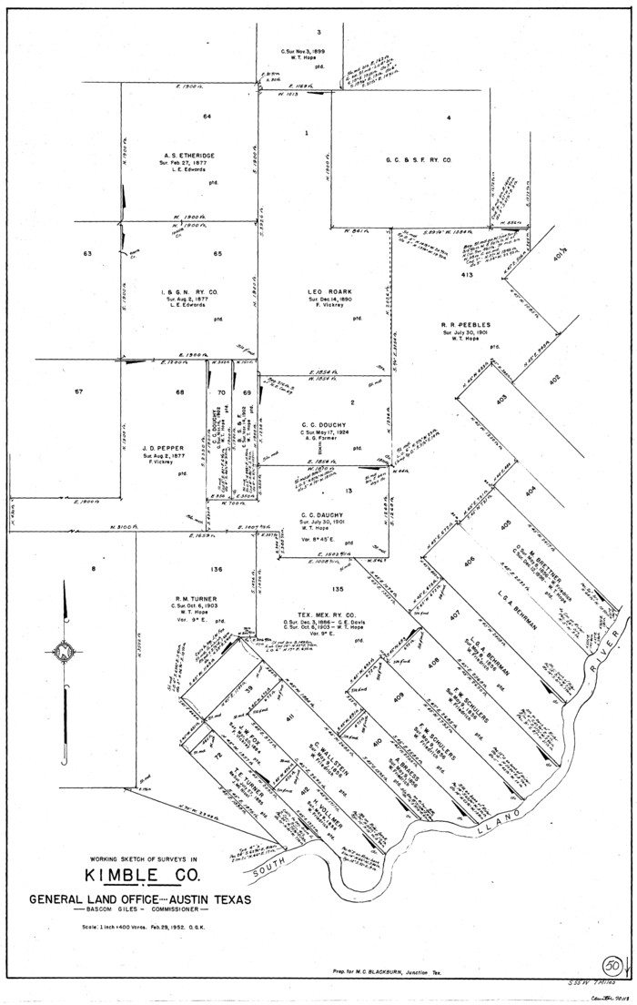

Print $20.00
- Digital $50.00
Kimble County Working Sketch 50
1952
Size 34.8 x 22.1 inches
Map/Doc 70118
Bexar County Working Sketch Graphic Index
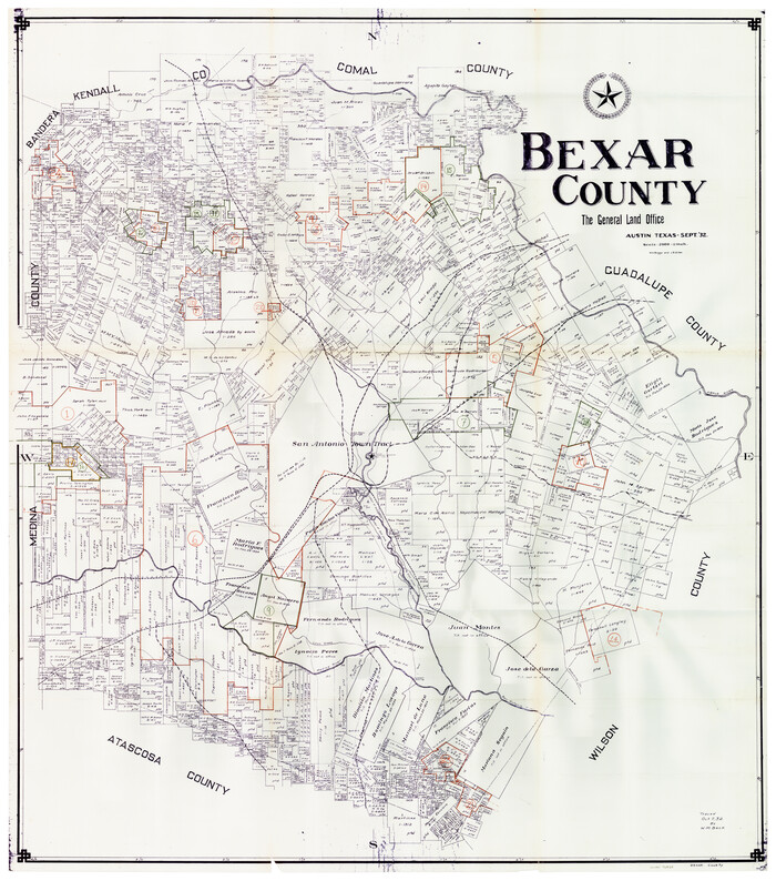

Print $20.00
- Digital $50.00
Bexar County Working Sketch Graphic Index
1932
Size 47.9 x 42.6 inches
Map/Doc 76466
Hays County Working Sketch 23


Print $20.00
- Digital $50.00
Hays County Working Sketch 23
2011
Size 30.5 x 29.2 inches
Map/Doc 90090
G.C. & S.F. Ry. Main Line, Texas, Right of Way Map, Keeler to Haslet


Print $40.00
- Digital $50.00
G.C. & S.F. Ry. Main Line, Texas, Right of Way Map, Keeler to Haslet
1916
Size 25.3 x 103.5 inches
Map/Doc 64546
[Lgs. 209-212, 182, 183, 195-200 with notes]
![90158, [Lgs. 209-212, 182, 183, 195-200 with notes], Twichell Survey Records](https://historictexasmaps.com/wmedia_w700/maps/90158-1.tif.jpg)
![90158, [Lgs. 209-212, 182, 183, 195-200 with notes], Twichell Survey Records](https://historictexasmaps.com/wmedia_w700/maps/90158-1.tif.jpg)
Print $20.00
- Digital $50.00
[Lgs. 209-212, 182, 183, 195-200 with notes]
Size 17.0 x 15.8 inches
Map/Doc 90158
General Highway Map, Cottle County, Texas
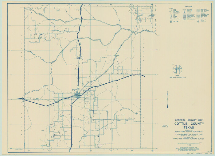

Print $20.00
General Highway Map, Cottle County, Texas
1940
Size 18.3 x 25.2 inches
Map/Doc 79060
![64235, [Texas & Pacific Railway through Callahan County], General Map Collection](https://historictexasmaps.com/wmedia_w1800h1800/maps/64235.tif.jpg)
