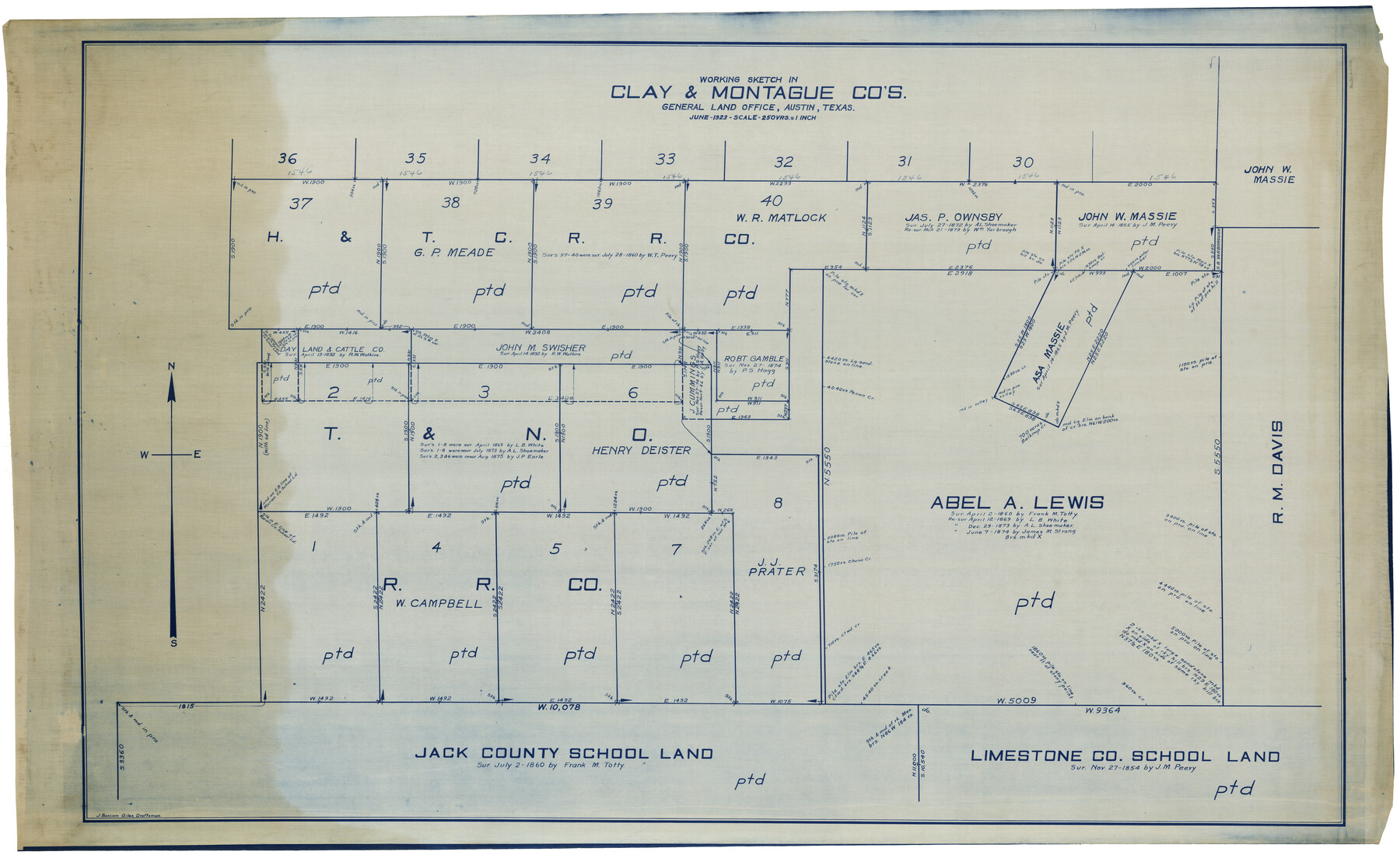
Montague County Working Sketch 41
K-7-54b
-
Map/Doc
65350
-
Collection
General Map Collection
-
Object Dates
6/1923 (Creation Date)
-
People and Organizations
J. Bascom Giles (Draftsman)
-
Counties
Montague Clay
-
Subjects
Surveying Working Sketch
-
Height x Width
43.3 x 70.1 inches
110.0 x 178.1 cm
-
Scale
1" = 250 varas
Part of: General Map Collection
Presidio County Working Sketch 24

Print $20.00
- Digital $50.00
Presidio County Working Sketch 24
1945
Size 18.0 x 11.9 inches
Map/Doc 71700
Uvalde County Working Sketch 3

Print $20.00
- Digital $50.00
Uvalde County Working Sketch 3
1915
Size 37.9 x 34.1 inches
Map/Doc 72073
Current Miscellaneous File 82

Print $4.00
- Digital $50.00
Current Miscellaneous File 82
Size 12.0 x 8.8 inches
Map/Doc 74224
Crockett County Working Sketch 57

Print $20.00
- Digital $50.00
Crockett County Working Sketch 57
1954
Size 35.9 x 38.8 inches
Map/Doc 68390
Culberson County Working Sketch 23a

Print $20.00
- Digital $50.00
Culberson County Working Sketch 23a
1947
Size 32.1 x 46.4 inches
Map/Doc 68475
Bailey County

Print $40.00
- Digital $50.00
Bailey County
1956
Size 48.8 x 31.5 inches
Map/Doc 73074
Milam County Texas

Print $20.00
- Digital $50.00
Milam County Texas
1879
Size 26.7 x 23.1 inches
Map/Doc 3879
Webb County Sketch File A

Print $20.00
- Digital $50.00
Webb County Sketch File A
1891
Size 35.3 x 17.1 inches
Map/Doc 12603
[Sketch for Mineral Application 16696-16697, Pecos River]
![65613, [Sketch for Mineral Application 16696-16697, Pecos River], General Map Collection](https://historictexasmaps.com/wmedia_w700/maps/65613-1.tif.jpg)
Print $40.00
- Digital $50.00
[Sketch for Mineral Application 16696-16697, Pecos River]
Size 36.7 x 68.3 inches
Map/Doc 65613
Cochran County Rolled Sketch A

Print $40.00
- Digital $50.00
Cochran County Rolled Sketch A
Size 28.5 x 55.3 inches
Map/Doc 8604
Jim Hogg County Sketch File 4

Print $8.00
- Digital $50.00
Jim Hogg County Sketch File 4
1926
Size 11.2 x 8.7 inches
Map/Doc 28404
Flight Mission No. CRC-4R, Frame 173, Chambers County

Print $20.00
- Digital $50.00
Flight Mission No. CRC-4R, Frame 173, Chambers County
1956
Size 18.7 x 22.3 inches
Map/Doc 84924
You may also like
Johnson County Sketch File 10

Print $4.00
- Digital $50.00
Johnson County Sketch File 10
1859
Size 10.1 x 8.0 inches
Map/Doc 28443
[G. H. & H. Block 2]
![91894, [G. H. & H. Block 2], Twichell Survey Records](https://historictexasmaps.com/wmedia_w700/maps/91894-1.tif.jpg)
Print $20.00
- Digital $50.00
[G. H. & H. Block 2]
Size 20.6 x 18.4 inches
Map/Doc 91894
Jim Hogg County Rolled Sketch 14

Print $20.00
- Digital $50.00
Jim Hogg County Rolled Sketch 14
2023
Size 21.1 x 30.3 inches
Map/Doc 97155
Potter County Sketch File 5

Print $20.00
- Digital $50.00
Potter County Sketch File 5
1890
Size 14.1 x 8.8 inches
Map/Doc 34387
Map Showing Eastern Portion of Pecos County, Texas

Print $40.00
- Digital $50.00
Map Showing Eastern Portion of Pecos County, Texas
Size 62.2 x 43.5 inches
Map/Doc 89835
Post Route Map of the State of Texas with Adjacent Parts of Louisiana, Arkansas, Indian Territory and the Republic of Mexico Showing Post Offices with the Intermediate Distances and Mail Routes in Operation on the 1st of April 1891

Print $40.00
Post Route Map of the State of Texas with Adjacent Parts of Louisiana, Arkansas, Indian Territory and the Republic of Mexico Showing Post Offices with the Intermediate Distances and Mail Routes in Operation on the 1st of April 1891
1891
Size 44.5 x 58.2 inches
Map/Doc 89061
Guadalupe County Sketch File 1a

Print $4.00
- Digital $50.00
Guadalupe County Sketch File 1a
1859
Size 12.6 x 7.9 inches
Map/Doc 24646
Lamb County Boundary File 1

Print $10.00
- Digital $50.00
Lamb County Boundary File 1
Size 11.1 x 8.5 inches
Map/Doc 56027
Randall County Working Sketch Graphic Index

Print $20.00
- Digital $50.00
Randall County Working Sketch Graphic Index
1958
Size 41.2 x 33.2 inches
Map/Doc 76676
Brazos River, Harlem-Imperial Farms Project

Print $20.00
- Digital $50.00
Brazos River, Harlem-Imperial Farms Project
1930
Size 28.3 x 25.5 inches
Map/Doc 69678
Palo Pinto County Sketch File 29

Print $40.00
- Digital $50.00
Palo Pinto County Sketch File 29
1874
Size 12.8 x 16.0 inches
Map/Doc 33419
Titus County Working Sketch 1

Print $20.00
- Digital $50.00
Titus County Working Sketch 1
Size 18.2 x 17.3 inches
Map/Doc 69362