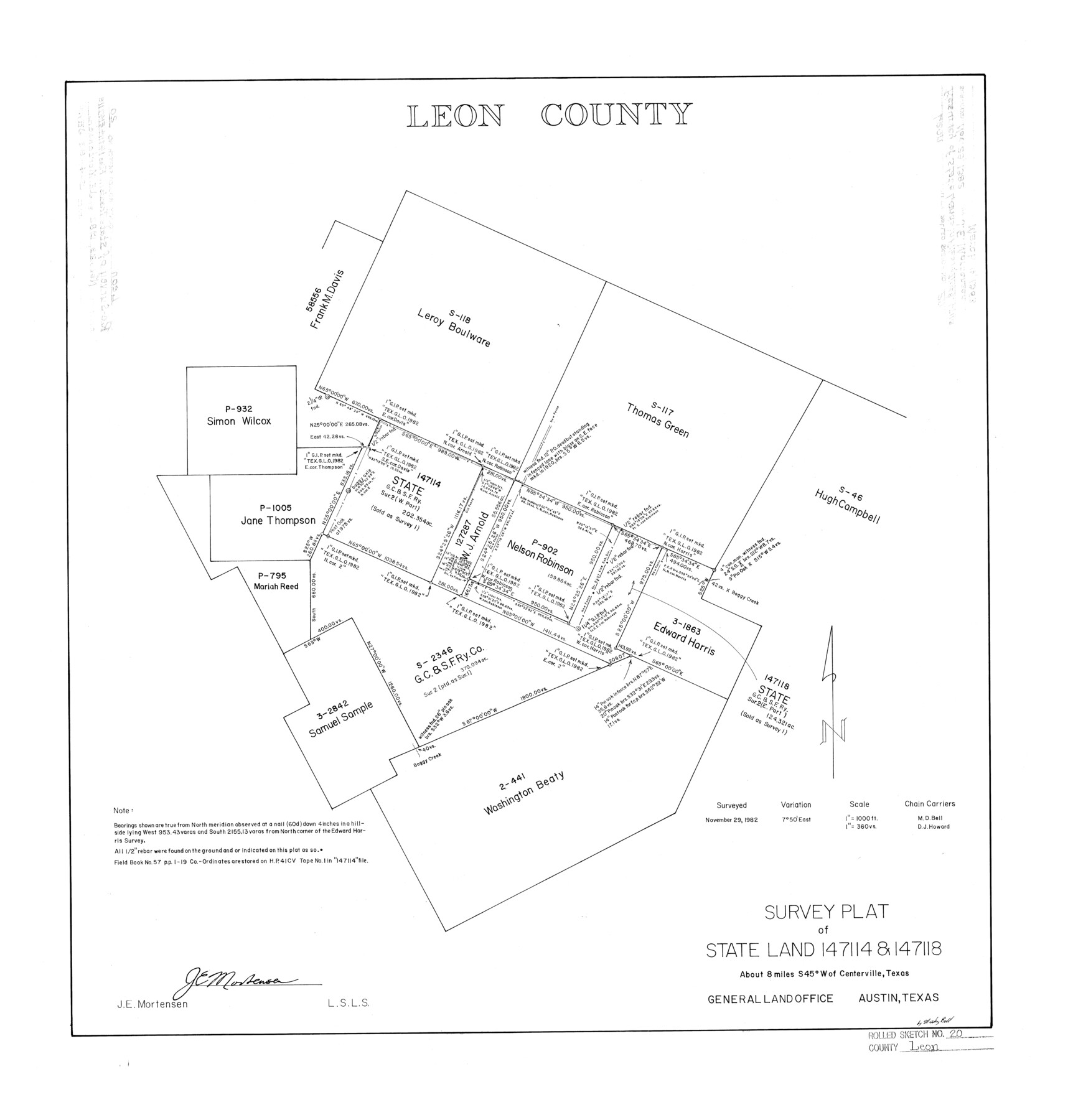
Leon County Rolled Sketch 20
Survey plat of State Land 147114 & 147118
-
Map/Doc
6607
-
Collection
General Map Collection
-
Object Dates
1982/11/29 (Survey Date)
1983/3/4 (File Date)
-
People and Organizations
M. D. Bell (Chainman/Field Personnel)
James E. Mortensen (Surveyor/Engineer)
-
Counties
Leon
-
Subjects
Surveying Rolled Sketch
-
Height x Width
27.0 x 25.8 inches
68.6 x 65.5 cm
-
Scale
1" = 360 varas
Part of: General Map Collection
Collingsworth County Working Sketch 6

Print $20.00
- Digital $50.00
Collingsworth County Working Sketch 6
1990
Size 37.7 x 41.8 inches
Map/Doc 68094
La Salle County Sketch File 42 and 42a

Print $28.00
- Digital $50.00
La Salle County Sketch File 42 and 42a
1926
Size 11.1 x 8.9 inches
Map/Doc 29597
Duval County Sketch File 4c1

Print $4.00
- Digital $50.00
Duval County Sketch File 4c1
1874
Size 10.4 x 7.9 inches
Map/Doc 21286
McMullen County Sketch File 4

Print $4.00
- Digital $50.00
McMullen County Sketch File 4
Size 7.9 x 10.1 inches
Map/Doc 31341
[T. & G. Ry. Main Line, Texas, Right of Way Map, Center to Gary]
![64571, [T. & G. Ry. Main Line, Texas, Right of Way Map, Center to Gary], General Map Collection](https://historictexasmaps.com/wmedia_w700/maps/64571-1.tif.jpg)
Print $40.00
- Digital $50.00
[T. & G. Ry. Main Line, Texas, Right of Way Map, Center to Gary]
1917
Size 31.9 x 121.1 inches
Map/Doc 64571
Henderson County

Print $40.00
- Digital $50.00
Henderson County
1988
Size 34.6 x 68.7 inches
Map/Doc 73178
Motley County Sketch File 1 (S)

Print $22.00
- Digital $50.00
Motley County Sketch File 1 (S)
1879
Size 9.0 x 14.3 inches
Map/Doc 32139
[Ferguson State Farm]
![62991, [Ferguson State Farm], General Map Collection](https://historictexasmaps.com/wmedia_w700/maps/62991.tif.jpg)
Print $20.00
- Digital $50.00
[Ferguson State Farm]
Size 17.2 x 16.1 inches
Map/Doc 62991
Presidio County Sketch File 47

Print $16.00
- Digital $50.00
Presidio County Sketch File 47
1918
Size 7.2 x 8.1 inches
Map/Doc 34574
Reagan County Sketch File 34

Print $4.00
- Digital $50.00
Reagan County Sketch File 34
Size 11.5 x 8.9 inches
Map/Doc 35030
Dimmit County Sketch File 17

Print $15.00
- Digital $50.00
Dimmit County Sketch File 17
1886
Size 11.0 x 13.7 inches
Map/Doc 21081
Glasscock County Boundary File 2

Print $14.00
- Digital $50.00
Glasscock County Boundary File 2
Size 14.4 x 9.1 inches
Map/Doc 53790
You may also like
Milam County Working Sketch 14

Print $20.00
- Digital $50.00
Milam County Working Sketch 14
1904
Size 28.2 x 16.7 inches
Map/Doc 71029
[Blocks 34-36, Township 2N]
![92027, [Blocks 34-36, Township 2N], Twichell Survey Records](https://historictexasmaps.com/wmedia_w700/maps/92027-1.tif.jpg)
Print $20.00
- Digital $50.00
[Blocks 34-36, Township 2N]
Size 36.8 x 24.2 inches
Map/Doc 92027
Flight Mission No. DIX-8P, Frame 90, Aransas County

Print $20.00
- Digital $50.00
Flight Mission No. DIX-8P, Frame 90, Aransas County
1956
Size 18.6 x 22.4 inches
Map/Doc 83915
Calcasieu Pass to Sabine Pass

Print $20.00
- Digital $50.00
Calcasieu Pass to Sabine Pass
1966
Size 44.9 x 35.5 inches
Map/Doc 69810
Wise County Sketch File 49

Print $20.00
- Digital $50.00
Wise County Sketch File 49
1882
Size 15.5 x 20.8 inches
Map/Doc 12702
Guadalupe County Sketch File 3a

Print $4.00
- Digital $50.00
Guadalupe County Sketch File 3a
1849
Size 10.7 x 8.2 inches
Map/Doc 24652
Harris County Boundary File 39 (11)

Print $8.00
- Digital $50.00
Harris County Boundary File 39 (11)
Size 12.8 x 8.0 inches
Map/Doc 54335
[Blocks 53, 54, 55, 56, 57, and 76]
![91314, [Blocks 53, 54, 55, 56, 57, and 76], Twichell Survey Records](https://historictexasmaps.com/wmedia_w700/maps/91314-2.tif.jpg)
Print $20.00
- Digital $50.00
[Blocks 53, 54, 55, 56, 57, and 76]
Size 36.4 x 21.4 inches
Map/Doc 91314
Gregg County Working Sketch 23

Print $20.00
- Digital $50.00
Gregg County Working Sketch 23
1982
Size 20.2 x 42.2 inches
Map/Doc 63290
Map of Bee County State of Texas

Print $20.00
- Digital $50.00
Map of Bee County State of Texas
1863
Size 31.1 x 25.3 inches
Map/Doc 3286
[Blocks 56 and 57, Townships 1 and 2]
![91315, [Blocks 56 and 57, Townships 1 and 2], Twichell Survey Records](https://historictexasmaps.com/wmedia_w700/maps/91315-1.tif.jpg)
Print $20.00
- Digital $50.00
[Blocks 56 and 57, Townships 1 and 2]
Size 19.3 x 20.5 inches
Map/Doc 91315
Hopkins County Sketch File 23

Print $4.00
- Digital $50.00
Hopkins County Sketch File 23
1871
Size 12.6 x 8.4 inches
Map/Doc 26732