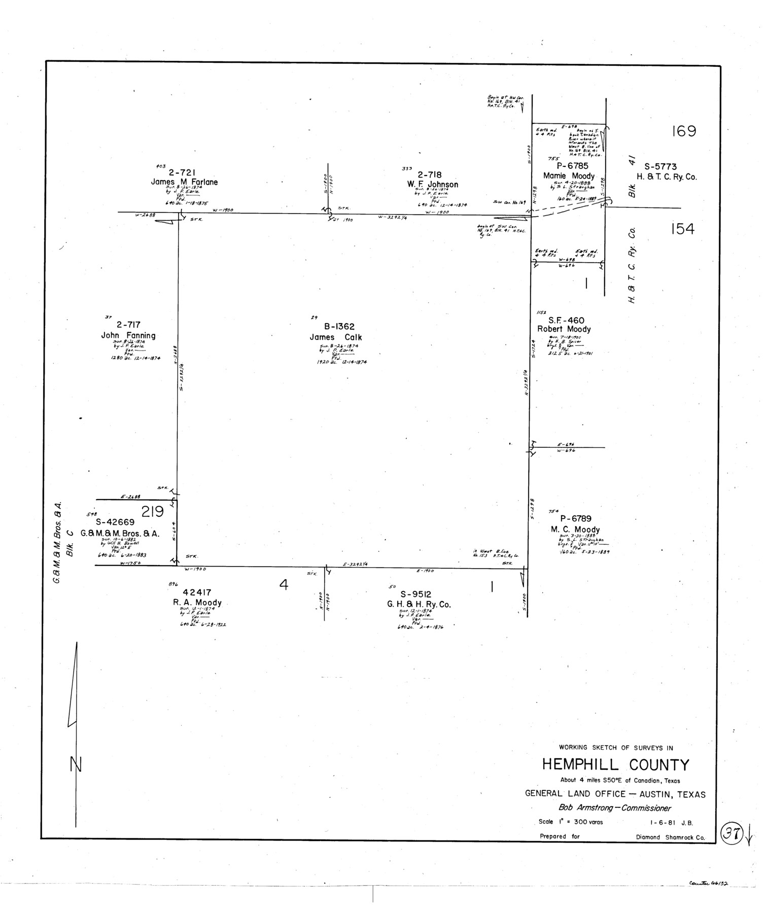
Hemphill County Working Sketch 37
-
Map/Doc
66132
-
Collection
General Map Collection
-
Object Dates
1/6/1981 (Creation Date)
-
People and Organizations
Jana Brod (Draftsman)
-
Counties
Hemphill
-
Subjects
Surveying Working Sketch
-
Height x Width
28.6 x 24.0 inches
72.6 x 61.0 cm
-
Scale
1" = 300 varas
Part of: General Map Collection
Bandera County Working Sketch 29

Print $20.00
- Digital $50.00
Bandera County Working Sketch 29
1954
Size 19.6 x 19.3 inches
Map/Doc 67625
Chocolate Bay, West Portion of West Bay and Vicinity, and Galveston Cos. Showing Subdivision for Mineral Development.

Print $40.00
- Digital $50.00
Chocolate Bay, West Portion of West Bay and Vicinity, and Galveston Cos. Showing Subdivision for Mineral Development.
1948
Size 43.0 x 55.9 inches
Map/Doc 3012
Flight Mission No. CLL-1N, Frame 196, Willacy County

Print $20.00
- Digital $50.00
Flight Mission No. CLL-1N, Frame 196, Willacy County
1954
Size 18.5 x 22.2 inches
Map/Doc 87066
Limestone County Working Sketch 6

Print $20.00
- Digital $50.00
Limestone County Working Sketch 6
1922
Size 31.5 x 33.3 inches
Map/Doc 70556
Waller County

Print $40.00
- Digital $50.00
Waller County
1945
Size 48.9 x 28.4 inches
Map/Doc 95665
Map of Parker County

Print $20.00
- Digital $50.00
Map of Parker County
1879
Size 23.9 x 19.0 inches
Map/Doc 3947
Bosque County Sketch File 27

Print $40.00
- Digital $50.00
Bosque County Sketch File 27
Size 14.7 x 17.5 inches
Map/Doc 10937
Mason County Boundary File 1

Print $2.00
- Digital $50.00
Mason County Boundary File 1
Size 12.7 x 8.2 inches
Map/Doc 56829
Van Zandt County Sketch File 38

Print $4.00
- Digital $50.00
Van Zandt County Sketch File 38
1871
Size 8.2 x 10.1 inches
Map/Doc 39482
Gaines County Rolled Sketch 15A

Print $40.00
- Digital $50.00
Gaines County Rolled Sketch 15A
Size 90.5 x 23.8 inches
Map/Doc 9036
Brewster County Rolled Sketch 17

Print $40.00
- Digital $50.00
Brewster County Rolled Sketch 17
Size 25.1 x 63.4 inches
Map/Doc 5195
Flight Mission No. CRE-2R, Frame 156, Jackson County

Print $20.00
- Digital $50.00
Flight Mission No. CRE-2R, Frame 156, Jackson County
1956
Size 16.2 x 16.1 inches
Map/Doc 85367
You may also like

[Scurry County]
![63030, [Scurry County], General Map Collection](https://historictexasmaps.com/wmedia_w700/maps/63030.tif.jpg)
Print $20.00
- Digital $50.00
[Scurry County]
1901
Size 34.3 x 42.5 inches
Map/Doc 63030
Howard County Working Sketch 3

Print $20.00
- Digital $50.00
Howard County Working Sketch 3
1904
Size 26.8 x 20.1 inches
Map/Doc 66269
Crockett County Rolled Sketch 88E

Print $40.00
- Digital $50.00
Crockett County Rolled Sketch 88E
1973
Size 44.4 x 30.6 inches
Map/Doc 8730
Map of that part of Comal County in Bexar District

Print $20.00
- Digital $50.00
Map of that part of Comal County in Bexar District
Size 16.3 x 22.1 inches
Map/Doc 3431
Preliminary Chart of the Northwestern Part of the Gulf of Mexico - Unfinished Proof

Print $40.00
Preliminary Chart of the Northwestern Part of the Gulf of Mexico - Unfinished Proof
1861
Size 31.5 x 68.9 inches
Map/Doc 95308
Cottle County Rolled Sketch 12

Print $20.00
- Digital $50.00
Cottle County Rolled Sketch 12
1959
Size 41.1 x 30.9 inches
Map/Doc 5570
Brazoria County Sketch File 48

Print $4.00
- Digital $50.00
Brazoria County Sketch File 48
Size 14.2 x 8.8 inches
Map/Doc 15110
San Augustine County Sketch File 21

Print $4.00
- Digital $50.00
San Augustine County Sketch File 21
1873
Size 12.8 x 7.9 inches
Map/Doc 35685
Pecos County Working Sketch 1

Print $20.00
- Digital $50.00
Pecos County Working Sketch 1
Size 16.0 x 13.0 inches
Map/Doc 71471

Coryell County Boundary File 4

Print $4.00
- Digital $50.00
Coryell County Boundary File 4
Size 11.2 x 8.7 inches
Map/Doc 51930