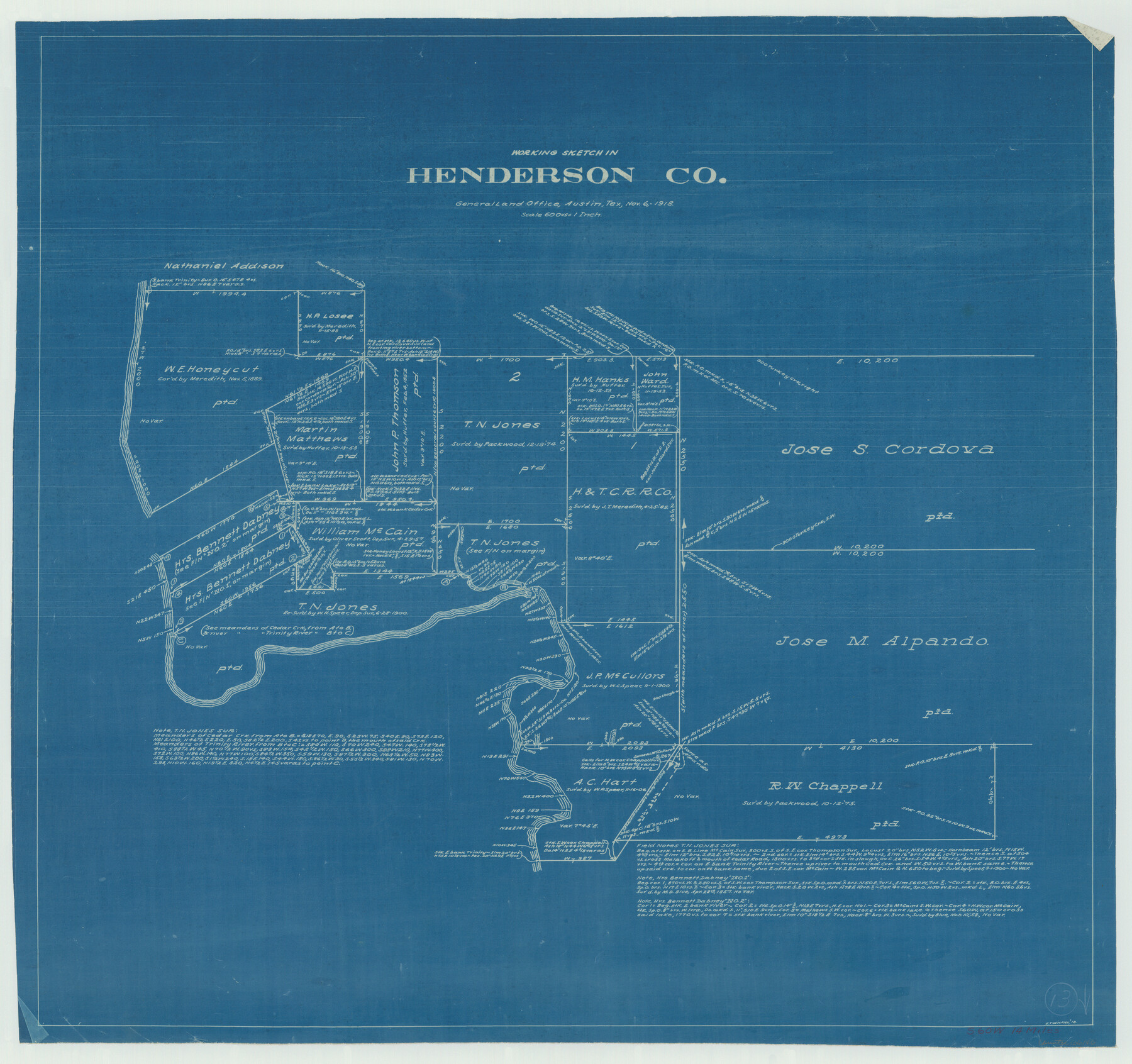
Henderson County Working Sketch 13
-
Map/Doc
66146
-
Collection
General Map Collection
-
Object Dates
11/6/1918 (Creation Date)
-
People and Organizations
G.T. Wicker (Draftsman)
-
Counties
Henderson
-
Subjects
Surveying Working Sketch
-
Height x Width
23.2 x 24.7 inches
58.9 x 62.7 cm
-
Scale
1" = 600 varas
Part of: General Map Collection
Webb County Sketch File 20

Print $4.00
- Digital $50.00
Webb County Sketch File 20
Size 8.8 x 14.4 inches
Map/Doc 39827
Montgomery County Rolled Sketch 47

Print $20.00
- Digital $50.00
Montgomery County Rolled Sketch 47
2009
Size 36.5 x 24.6 inches
Map/Doc 89032
Flight Mission No. BRE-2P, Frame 133, Nueces County

Print $20.00
- Digital $50.00
Flight Mission No. BRE-2P, Frame 133, Nueces County
1956
Size 18.5 x 22.5 inches
Map/Doc 86806
Runnels County Rolled Sketch 30

Print $20.00
- Digital $50.00
Runnels County Rolled Sketch 30
Size 26.8 x 30.6 inches
Map/Doc 7518
Montgomery County Rolled Sketch 12

Print $20.00
- Digital $50.00
Montgomery County Rolled Sketch 12
Size 23.4 x 30.5 inches
Map/Doc 6801
Stonewall County Working Sketch 32

Print $20.00
- Digital $50.00
Stonewall County Working Sketch 32
1983
Size 27.9 x 36.2 inches
Map/Doc 62339
Brazoria County Sketch File 58

Print $30.00
- Digital $50.00
Brazoria County Sketch File 58
1992
Size 11.5 x 9.0 inches
Map/Doc 15382
Erath County Sketch File A1

Print $6.00
- Digital $50.00
Erath County Sketch File A1
Size 10.6 x 11.8 inches
Map/Doc 22251

Shelby County Sketch File 1

Print $4.00
- Digital $50.00
Shelby County Sketch File 1
1848
Size 12.6 x 8.0 inches
Map/Doc 36591
Eastland County Working Sketch 34

Print $20.00
- Digital $50.00
Eastland County Working Sketch 34
1960
Size 30.8 x 28.6 inches
Map/Doc 68815
Zavala County Working Sketch 30

Print $20.00
- Digital $50.00
Zavala County Working Sketch 30
1989
Size 36.8 x 28.1 inches
Map/Doc 62105
You may also like
Red River, Bois D'Arc Creek Floodway Sheet No. 6

Print $20.00
- Digital $50.00
Red River, Bois D'Arc Creek Floodway Sheet No. 6
1917
Size 28.9 x 23.4 inches
Map/Doc 69661
Calhoun County Sketch File 14

Print $20.00
- Digital $50.00
Calhoun County Sketch File 14
1852
Size 22.6 x 16.2 inches
Map/Doc 35980
Reagan County Rolled Sketch 5

Print $20.00
- Digital $50.00
Reagan County Rolled Sketch 5
1928
Size 26.8 x 22.1 inches
Map/Doc 7434
Polk County Working Sketch 18

Print $20.00
- Digital $50.00
Polk County Working Sketch 18
1949
Size 25.4 x 23.3 inches
Map/Doc 71633
[Aransas and Corpus Christi Bays]
![140, [Aransas and Corpus Christi Bays], General Map Collection](https://historictexasmaps.com/wmedia_w700/maps/140.tif.jpg)
Print $3.00
- Digital $50.00
[Aransas and Corpus Christi Bays]
1839
Size 11.4 x 16.5 inches
Map/Doc 140
Hemphill County Working Sketch 19

Print $20.00
- Digital $50.00
Hemphill County Working Sketch 19
1972
Size 35.8 x 42.6 inches
Map/Doc 66114
Baylor County Sketch File 1a

Print $8.00
- Digital $50.00
Baylor County Sketch File 1a
1857
Size 8.2 x 7.9 inches
Map/Doc 14144
Comanche County Working Sketch 4

Print $40.00
- Digital $50.00
Comanche County Working Sketch 4
1919
Size 58.7 x 35.2 inches
Map/Doc 68138
Karte des Staates, Texas

Print $20.00
- Digital $50.00
Karte des Staates, Texas
1851
Size 25.5 x 30.8 inches
Map/Doc 2123
Flight Mission No. DQN-3K, Frame 75, Calhoun County

Print $20.00
- Digital $50.00
Flight Mission No. DQN-3K, Frame 75, Calhoun County
1953
Size 18.6 x 22.4 inches
Map/Doc 84366
Dickens County Sketch File G2

Print $26.00
- Digital $50.00
Dickens County Sketch File G2
1914
Size 11.4 x 8.9 inches
Map/Doc 20858
Texas State Boundary Line 6

Print $10.00
- Digital $50.00
Texas State Boundary Line 6
2000
Size 11.3 x 8.8 inches
Map/Doc 75046