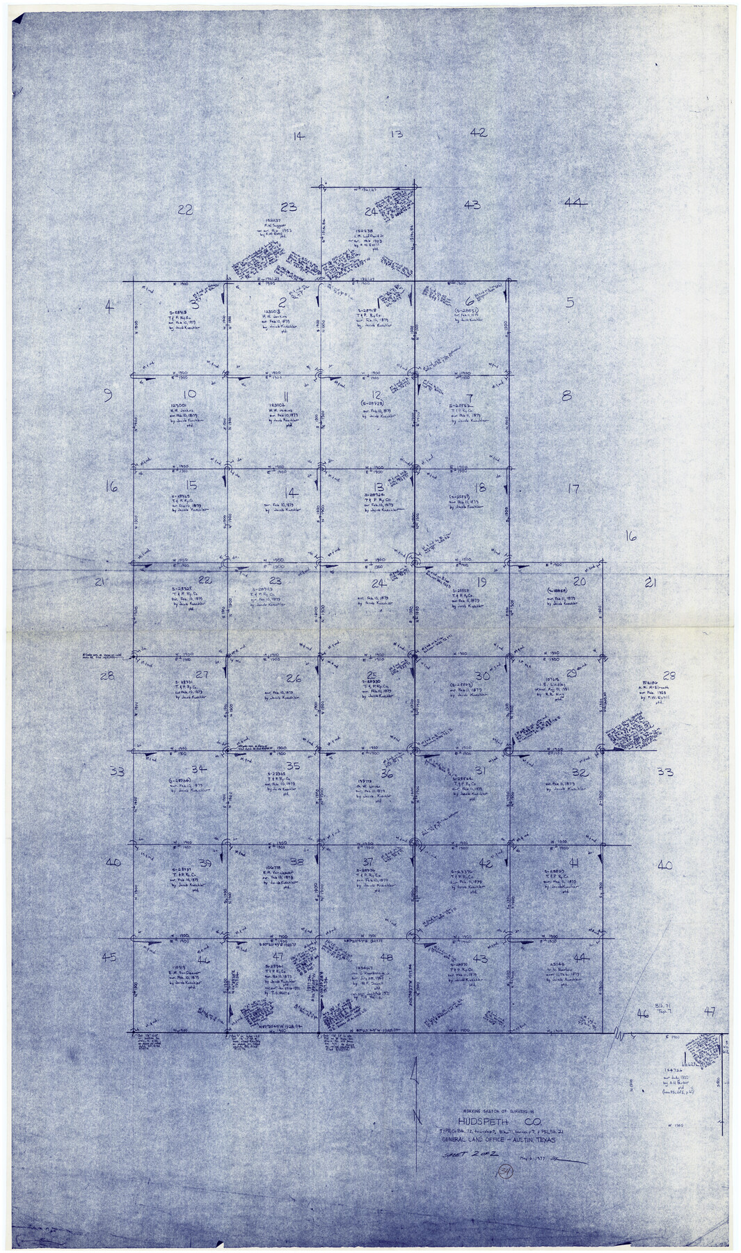
Hudspeth County Working Sketch 34
-
Map/Doc
66319
-
Collection
General Map Collection
-
Object Dates
5/6/1977 (Creation Date)
-
People and Organizations
Joan Kilpatrick (Draftsman)
-
Counties
Hudspeth
-
Subjects
Surveying Working Sketch
-
Height x Width
63.1 x 37.3 inches
160.3 x 94.7 cm
Part of: General Map Collection
McLennan County Boundary File 7

Print $8.00
- Digital $50.00
McLennan County Boundary File 7
Size 14.1 x 8.6 inches
Map/Doc 57005
Brazoria County Rolled Sketch 21A

Print $20.00
- Digital $50.00
Brazoria County Rolled Sketch 21A
Size 38.6 x 33.2 inches
Map/Doc 8926
Aransas County Rolled Sketch 15C

Print $3.00
- Digital $50.00
Aransas County Rolled Sketch 15C
Size 10.2 x 17.6 inches
Map/Doc 76067
Tom Green County Rolled Sketch 7

Print $20.00
- Digital $50.00
Tom Green County Rolled Sketch 7
Size 37.0 x 40.0 inches
Map/Doc 9998
Clay County Working Sketch 4

Print $20.00
- Digital $50.00
Clay County Working Sketch 4
1923
Size 14.7 x 21.9 inches
Map/Doc 68027
Matagorda Light to Aransas Pass

Print $20.00
- Digital $50.00
Matagorda Light to Aransas Pass
1981
Size 36.6 x 44.5 inches
Map/Doc 73402
Reeves County Working Sketch 1

Print $40.00
- Digital $50.00
Reeves County Working Sketch 1
Size 48.6 x 38.2 inches
Map/Doc 63443
Uvalde County Sketch File 13

Print $20.00
- Digital $50.00
Uvalde County Sketch File 13
Size 14.3 x 29.1 inches
Map/Doc 12528
Pecos County Rolled Sketch 22

Print $20.00
- Digital $50.00
Pecos County Rolled Sketch 22
1886
Size 22.4 x 36.8 inches
Map/Doc 93454
Hood County Sketch File 1

Print $5.00
- Digital $50.00
Hood County Sketch File 1
Size 11.0 x 15.2 inches
Map/Doc 26569
Webb County Sketch File 11a

Print $4.00
- Digital $50.00
Webb County Sketch File 11a
1883
Size 11.2 x 8.7 inches
Map/Doc 39779
Jim Hogg County Working Sketch 3

Print $20.00
- Digital $50.00
Jim Hogg County Working Sketch 3
1939
Size 15.2 x 20.3 inches
Map/Doc 66589
You may also like
Flight Mission No. BQR-7K, Frame 23, Brazoria County

Print $20.00
- Digital $50.00
Flight Mission No. BQR-7K, Frame 23, Brazoria County
1952
Size 18.4 x 22.2 inches
Map/Doc 84021
Current Miscellaneous File 105

Print $18.00
- Digital $50.00
Current Miscellaneous File 105
Size 8.8 x 14.2 inches
Map/Doc 74680

Jim Hogg County Rolled Sketch EJF

Print $20.00
- Digital $50.00
Jim Hogg County Rolled Sketch EJF
1937
Size 36.0 x 32.4 inches
Map/Doc 9320
Blanco County Working Sketch 4

Print $20.00
- Digital $50.00
Blanco County Working Sketch 4
1885
Size 20.1 x 19.4 inches
Map/Doc 67363
Flight Mission No. DQN-5K, Frame 46, Calhoun County

Print $20.00
- Digital $50.00
Flight Mission No. DQN-5K, Frame 46, Calhoun County
1953
Size 18.6 x 22.2 inches
Map/Doc 84391
Harris County Sketch File 77

Print $26.00
- Digital $50.00
Harris County Sketch File 77
1953
Size 11.3 x 8.8 inches
Map/Doc 25546
Fort Bend County Working Sketch 6

Print $20.00
- Digital $50.00
Fort Bend County Working Sketch 6
1917
Size 15.7 x 15.5 inches
Map/Doc 69212
Hutchinson County Rolled Sketch 37

Print $20.00
- Digital $50.00
Hutchinson County Rolled Sketch 37
1950
Size 24.4 x 44.4 inches
Map/Doc 6296
Flight Mission No. DQO-2K, Frame 83, Galveston County

Print $20.00
- Digital $50.00
Flight Mission No. DQO-2K, Frame 83, Galveston County
1952
Size 18.8 x 22.5 inches
Map/Doc 85010
McMullen County Working Sketch 24

Print $20.00
- Digital $50.00
McMullen County Working Sketch 24
1950
Size 31.5 x 31.0 inches
Map/Doc 70725
Presidio County Working Sketch 61

Print $20.00
- Digital $50.00
Presidio County Working Sketch 61
1957
Size 40.0 x 35.0 inches
Map/Doc 71738