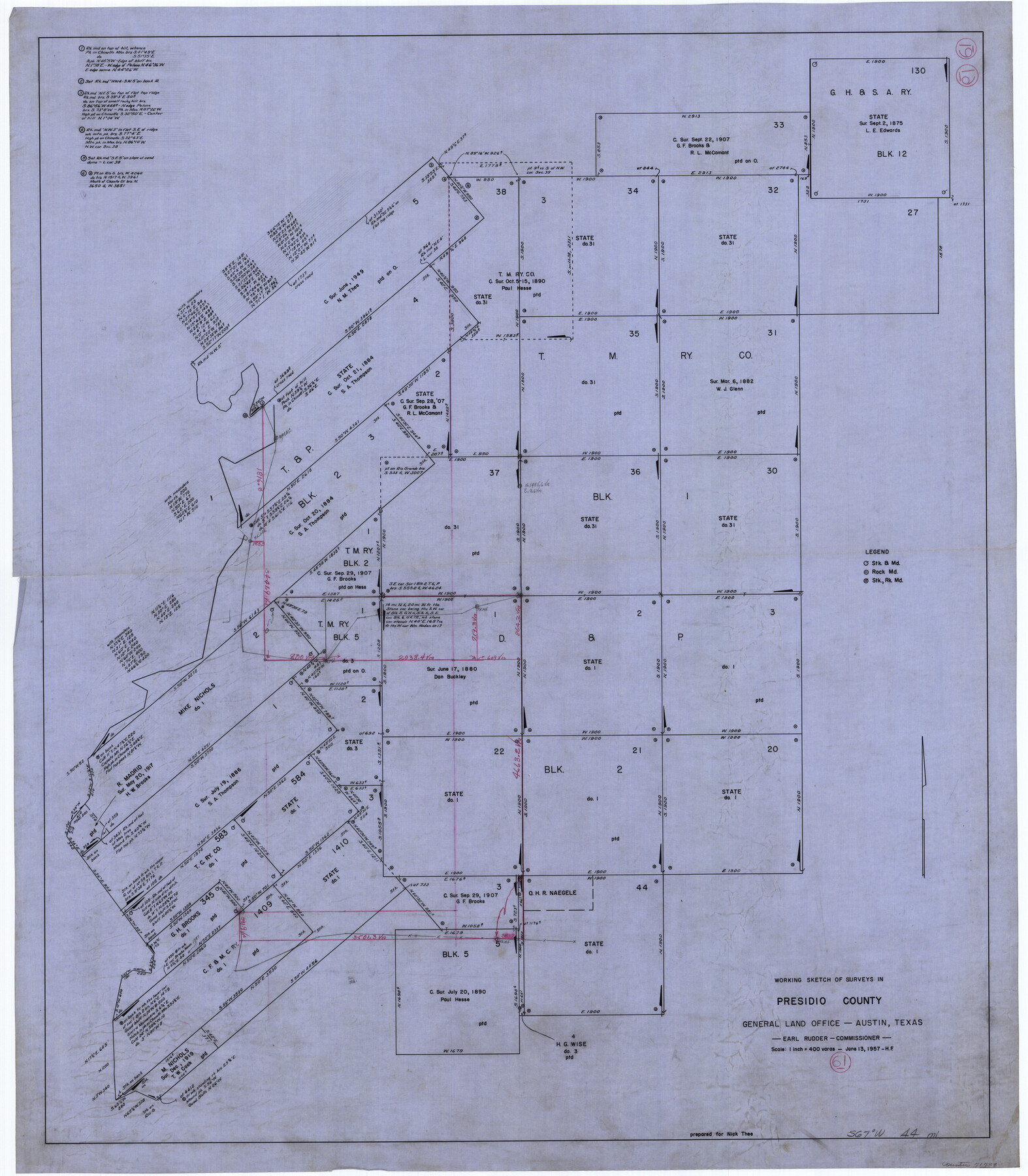
Presidio County Working Sketch 61
-
Map/Doc
71738
-
Collection
General Map Collection
-
Object Dates
6/13/1957 (Creation Date)
-
People and Organizations
Herman Forbes (Draftsman)
-
Counties
Presidio
-
Subjects
Surveying Working Sketch
-
Height x Width
40.0 x 35.0 inches
101.6 x 88.9 cm
-
Scale
1" = 400 varas
Part of: General Map Collection
Travis County Appraisal District Plat Map 2_0018

Print $20.00
- Digital $50.00
Travis County Appraisal District Plat Map 2_0018
Size 21.6 x 26.5 inches
Map/Doc 94208
Stonewall County Boundary File 2

Print $12.00
- Digital $50.00
Stonewall County Boundary File 2
Size 14.2 x 8.8 inches
Map/Doc 58955
Lampasas County Working Sketch 13

Print $20.00
- Digital $50.00
Lampasas County Working Sketch 13
1973
Size 34.4 x 27.7 inches
Map/Doc 70290
Foard County Sketch File 12

Print $4.00
- Digital $50.00
Foard County Sketch File 12
1881
Size 11.0 x 8.5 inches
Map/Doc 22814
Nueces County Rolled Sketch 86

Print $167.00
Nueces County Rolled Sketch 86
1983
Size 18.2 x 24.7 inches
Map/Doc 6978
Dallas County Sketch File 19

Print $20.00
- Digital $50.00
Dallas County Sketch File 19
Size 17.1 x 17.9 inches
Map/Doc 11287
Flight Mission No. BRA-6M, Frame 149, Jefferson County

Print $20.00
- Digital $50.00
Flight Mission No. BRA-6M, Frame 149, Jefferson County
1953
Size 18.5 x 22.3 inches
Map/Doc 85450
Angelina County Sketch File 11d

Print $6.00
- Digital $50.00
Angelina County Sketch File 11d
1885
Size 12.7 x 8.3 inches
Map/Doc 12948
Coke County Rolled Sketch 15

Print $40.00
- Digital $50.00
Coke County Rolled Sketch 15
1949
Size 48.1 x 46.5 inches
Map/Doc 8628
Pecos County Working Sketch 110

Print $40.00
- Digital $50.00
Pecos County Working Sketch 110
1972
Size 32.3 x 50.6 inches
Map/Doc 71583
Milam County Working Sketch Graphic Index

Print $40.00
- Digital $50.00
Milam County Working Sketch Graphic Index
1975
Size 51.6 x 42.7 inches
Map/Doc 76642
Travis County Working Sketch 49

Print $20.00
- Digital $50.00
Travis County Working Sketch 49
1984
Size 33.9 x 37.2 inches
Map/Doc 69433
You may also like
Rio Grande, Penitas Sheet

Print $20.00
- Digital $50.00
Rio Grande, Penitas Sheet
1937
Size 39.8 x 42.0 inches
Map/Doc 69708
[Area along West County Line]
![90833, [Area along West County Line], Twichell Survey Records](https://historictexasmaps.com/wmedia_w700/maps/90833-2.tif.jpg)
Print $2.00
- Digital $50.00
[Area along West County Line]
Size 7.0 x 9.6 inches
Map/Doc 90833
Kimble County Working Sketch 15

Print $20.00
- Digital $50.00
Kimble County Working Sketch 15
1923
Size 22.4 x 22.1 inches
Map/Doc 70083
Bexar County Rolled Sketch 1

Print $20.00
- Digital $50.00
Bexar County Rolled Sketch 1
1940
Size 23.1 x 26.2 inches
Map/Doc 5134
Terrell County Working Sketch 74

Print $20.00
- Digital $50.00
Terrell County Working Sketch 74
1981
Size 37.5 x 24.6 inches
Map/Doc 69595
General Highway Map, Stephens County, Texas

Print $20.00
General Highway Map, Stephens County, Texas
1940
Size 24.9 x 18.3 inches
Map/Doc 79247
Denton County Sketch File 27

Print $4.00
- Digital $50.00
Denton County Sketch File 27
1858
Size 7.9 x 12.1 inches
Map/Doc 20754
Webb County Rolled Sketch 70

Print $20.00
- Digital $50.00
Webb County Rolled Sketch 70
Size 24.0 x 37.4 inches
Map/Doc 8217
Cherokee County Working Sketch 25

Print $20.00
- Digital $50.00
Cherokee County Working Sketch 25
1972
Size 25.1 x 45.5 inches
Map/Doc 67980
A. H. Baer Estate

Print $20.00
- Digital $50.00
A. H. Baer Estate
Size 18.4 x 15.6 inches
Map/Doc 92748
Bee County Sketch File 33

Print $56.00
- Digital $50.00
Bee County Sketch File 33
Size 11.3 x 8.9 inches
Map/Doc 14349
Flight Mission No. CRK-5P, Frame 155, Refugio County

Print $20.00
- Digital $50.00
Flight Mission No. CRK-5P, Frame 155, Refugio County
1956
Size 18.7 x 22.6 inches
Map/Doc 86936