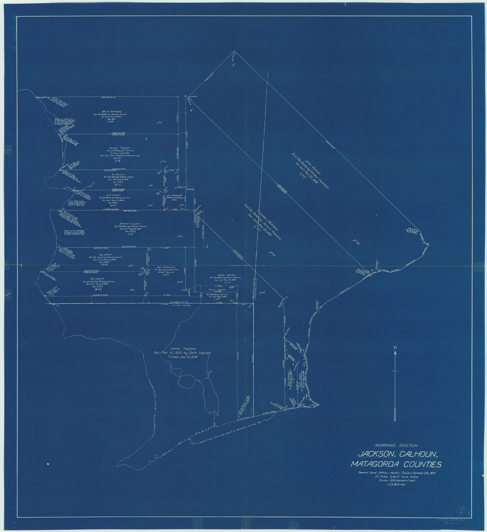
Jackson County Working Sketch 2
-
Map/Doc
66450
-
Collection
General Map Collection
-
Object Dates
10/29/1937 (Creation Date)
-
People and Organizations
J.O. Barrow (Draftsman)
-
Counties
Jackson Calhoun Matagorda
-
Subjects
Surveying Working Sketch
-
Height x Width
41.5 x 38.0 inches
105.4 x 96.5 cm
-
Scale
1" = 500 varas
Part of: General Map Collection


Duval County Rolled Sketch GEB

Print $20.00
- Digital $50.00
Duval County Rolled Sketch GEB
1935
Size 26.9 x 30.4 inches
Map/Doc 5768
Flight Mission No. DCL-6C, Frame 26, Kenedy County

Print $20.00
- Digital $50.00
Flight Mission No. DCL-6C, Frame 26, Kenedy County
1943
Size 18.7 x 22.5 inches
Map/Doc 85883
Rusk County Working Sketch 30

Print $20.00
- Digital $50.00
Rusk County Working Sketch 30
1931
Size 22.9 x 21.4 inches
Map/Doc 63667
The south west and N.E. lines of Mary Thomas and A. Morrallis surveys

Print $2.00
- Digital $50.00
The south west and N.E. lines of Mary Thomas and A. Morrallis surveys
1847
Size 9.4 x 8.1 inches
Map/Doc 336
Van Zandt County Sketch File 24a

Print $4.00
- Digital $50.00
Van Zandt County Sketch File 24a
1858
Size 6.2 x 8.1 inches
Map/Doc 39441
Hood County Working Sketch 32

Print $20.00
- Digital $50.00
Hood County Working Sketch 32
2004
Size 28.5 x 35.6 inches
Map/Doc 83573

Flight Mission No. DQO-3K, Frame 40, Galveston County

Print $20.00
- Digital $50.00
Flight Mission No. DQO-3K, Frame 40, Galveston County
1952
Size 18.8 x 22.4 inches
Map/Doc 85081
Kaufman County Boundary File 7

Print $16.00
- Digital $50.00
Kaufman County Boundary File 7
Size 13.9 x 8.7 inches
Map/Doc 55969

You may also like
Flight Mission No. CRC-1R, Frame 151, Chambers County

Print $20.00
- Digital $50.00
Flight Mission No. CRC-1R, Frame 151, Chambers County
1956
Size 18.7 x 22.4 inches
Map/Doc 84713
Hudspeth County Working Sketch 16

Print $40.00
- Digital $50.00
Hudspeth County Working Sketch 16
1957
Size 21.1 x 71.2 inches
Map/Doc 66298

Bee County Boundary File 6

Print $4.00
- Digital $50.00
Bee County Boundary File 6
Size 10.4 x 7.9 inches
Map/Doc 50458
Howard County Sketch File 3

Print $12.00
- Digital $50.00
Howard County Sketch File 3
1909
Size 9.0 x 8.3 inches
Map/Doc 26855
[University Lands Blocks 16, 18, 19 and 20]
![91594, [University Lands Blocks 16, 18, 19 and 20], Twichell Survey Records](https://historictexasmaps.com/wmedia_w700/maps/91594-1.tif.jpg)
Print $20.00
- Digital $50.00
[University Lands Blocks 16, 18, 19 and 20]
Size 13.9 x 16.7 inches
Map/Doc 91594
Kaufman County

Print $20.00
- Digital $50.00
Kaufman County
1854
Size 30.8 x 24.2 inches
Map/Doc 78485
[Sketch showing the south half of the northeast quarter of the county showing surveys south of the Canadian River]
![93013, [Sketch showing the south half of the northeast quarter of the county showing surveys south of the Canadian River], Twichell Survey Records](https://historictexasmaps.com/wmedia_w700/maps/93013-1.tif.jpg)
Print $20.00
- Digital $50.00
[Sketch showing the south half of the northeast quarter of the county showing surveys south of the Canadian River]
Size 19.7 x 10.2 inches
Map/Doc 93013
Mud Creek in Nacogdoches District

Print $2.00
- Digital $50.00
Mud Creek in Nacogdoches District
1846
Size 10.7 x 7.8 inches
Map/Doc 345

Current Miscellaneous File 107

Print $4.00
- Digital $50.00
Current Miscellaneous File 107
1994
Size 9.2 x 12.4 inches
Map/Doc 74707
Bexar County Sketch File 49

Print $8.00
- Digital $50.00
Bexar County Sketch File 49
1874
Size 12.6 x 8.3 inches
Map/Doc 14530