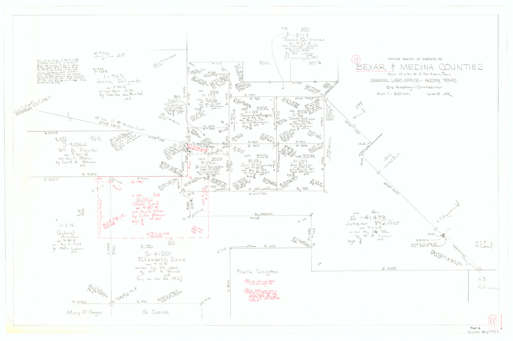
Bexar County Working Sketch 17
-
Map/Doc
67333
-
Collection
General Map Collection
-
Object Dates
12/21/1978 (Creation Date)
-
People and Organizations
Joan Kilpatrick (Draftsman)
Bob Armstrong (GLO Commissioner)
-
Counties
Bexar Medina
-
Subjects
Surveying Working Sketch
-
Height x Width
22.8 x 34.2 inches
57.9 x 86.9 cm
-
Scale
1" = 300 varas
-
Comments
Surveys located about 19 miles West of San Antonio, Texas.
Part of: General Map Collection
Presidio County Working Sketch 26

Print $20.00
- Digital $50.00
Presidio County Working Sketch 26
1945
Size 41.9 x 24.3 inches
Map/Doc 71702
Montgomery Co.

Print $40.00
- Digital $50.00
Montgomery Co.
1943
Size 45.1 x 53.3 inches
Map/Doc 66940
Crane County Rolled Sketch 7

Print $20.00
- Digital $50.00
Crane County Rolled Sketch 7
1927
Size 33.4 x 44.8 inches
Map/Doc 8679
Brooks County Working Sketch 6

Print $20.00
- Digital $50.00
Brooks County Working Sketch 6
1917
Size 28.6 x 15.7 inches
Map/Doc 67790
Brazoria County Sketch File 15

Print $4.00
- Digital $50.00
Brazoria County Sketch File 15
1892
Size 12.8 x 8.4 inches
Map/Doc 14977
Presidio County Rolled Sketch 87

Print $20.00
- Digital $50.00
Presidio County Rolled Sketch 87
Size 26.4 x 38.2 inches
Map/Doc 7373
Bexar County Sketch File 31

Print $40.00
- Digital $50.00
Bexar County Sketch File 31
1867
Size 11.3 x 16.4 inches
Map/Doc 10920
Gillespie County Working Sketch 2

Print $20.00
- Digital $50.00
Gillespie County Working Sketch 2
1958
Size 35.9 x 26.0 inches
Map/Doc 63165
Flight Mission No. DAG-14K, Frame 146, Matagorda County

Print $20.00
- Digital $50.00
Flight Mission No. DAG-14K, Frame 146, Matagorda County
1952
Size 18.4 x 22.2 inches
Map/Doc 86313
Uvalde County Sketch File 4

Print $22.00
- Digital $50.00
Uvalde County Sketch File 4
1879
Size 12.8 x 8.3 inches
Map/Doc 38951
Van Zandt County Sketch File 44

Print $4.00
- Digital $50.00
Van Zandt County Sketch File 44
1858
Size 10.1 x 8.1 inches
Map/Doc 39499
Hunt County Rolled Sketch 5

Print $20.00
- Digital $50.00
Hunt County Rolled Sketch 5
1966
Size 24.7 x 24.4 inches
Map/Doc 6273
You may also like
Grimes County Working Sketch 12

Print $20.00
- Digital $50.00
Grimes County Working Sketch 12
1982
Size 18.3 x 21.6 inches
Map/Doc 63303
Presidio County Sketch File 62A

Print $20.00
- Digital $50.00
Presidio County Sketch File 62A
Size 14.6 x 20.8 inches
Map/Doc 11717
Hardin County Working Sketch 32

Print $20.00
- Digital $50.00
Hardin County Working Sketch 32
1978
Size 41.7 x 38.0 inches
Map/Doc 63430
[Sketch for Mineral Application 33721 - 33725 Incl. - Padre and Mustang Island]
![2879, [Sketch for Mineral Application 33721 - 33725 Incl. - Padre and Mustang Island], General Map Collection](https://historictexasmaps.com/wmedia_w700/maps/2879.tif.jpg)
Print $20.00
- Digital $50.00
[Sketch for Mineral Application 33721 - 33725 Incl. - Padre and Mustang Island]
1942
Size 29.4 x 22.2 inches
Map/Doc 2879
Famous Heights Park Addition, Map Showing Proposed Park and Plan of Subdividing Famous Heights Plus Park, Addition to the city of Amarillo, Texas

Print $40.00
- Digital $50.00
Famous Heights Park Addition, Map Showing Proposed Park and Plan of Subdividing Famous Heights Plus Park, Addition to the city of Amarillo, Texas
1907
Size 62.5 x 37.4 inches
Map/Doc 93117
Flight Mission No. CRC-3R, Frame 9, Chambers County

Print $20.00
- Digital $50.00
Flight Mission No. CRC-3R, Frame 9, Chambers County
1956
Size 18.7 x 22.4 inches
Map/Doc 84783

Polk County Working Sketch 43

Print $20.00
- Digital $50.00
Polk County Working Sketch 43
1997
Size 23.2 x 30.5 inches
Map/Doc 71660
Right of Way & Track Map, San Antonio & Aransas Pass Railway Co.

Print $40.00
- Digital $50.00
Right of Way & Track Map, San Antonio & Aransas Pass Railway Co.
1919
Size 25.0 x 56.7 inches
Map/Doc 64215
Burnet County Boundary File 5

Print $16.00
- Digital $50.00
Burnet County Boundary File 5
Size 12.7 x 7.9 inches
Map/Doc 50878
Galveston County NRC Article 33.136 Sketch 6

Print $20.00
- Digital $50.00
Galveston County NRC Article 33.136 Sketch 6
2001
Size 23.1 x 33.9 inches
Map/Doc 61588
Texas-Oklahoma Boundary Line: brief summary of the lands surveyed and the lands not surveyed in the dispute between Oklahoma vs. Texas

Print $356.00
- Digital $50.00
Texas-Oklahoma Boundary Line: brief summary of the lands surveyed and the lands not surveyed in the dispute between Oklahoma vs. Texas
1923
Size 6.0 x 9.2 inches
Map/Doc 3061