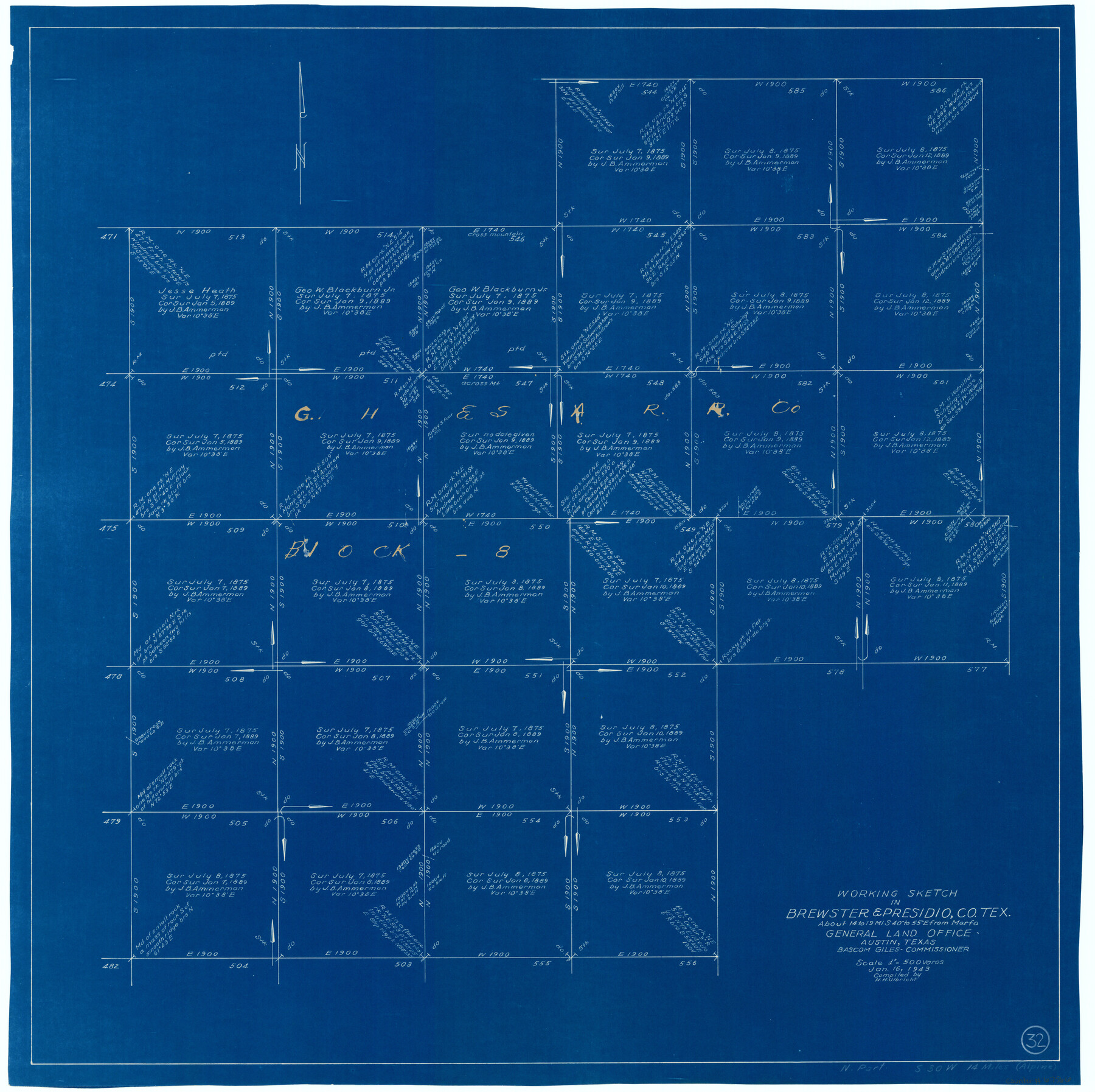
Brewster County Working Sketch 32
-
Map/Doc
67566
-
Collection
General Map Collection
-
Object Dates
1/16/1943 (Creation Date)
-
People and Organizations
Herbert H. Ulbricht (Compiler)
-
Counties
Brewster Presidio
-
Subjects
Surveying Working Sketch
-
Height x Width
28.3 x 28.3 inches
71.9 x 71.9 cm
-
Scale
1" = 500 varas
Part of: General Map Collection
Hamilton County Working Sketch 36

Print $40.00
- Digital $50.00
Hamilton County Working Sketch 36
2008
Size 36.9 x 57.3 inches
Map/Doc 88996
Hemphill County

Print $20.00
- Digital $50.00
Hemphill County
1888
Size 23.9 x 18.3 inches
Map/Doc 3653
Newton County Sketch File 23

Print $4.00
- Digital $50.00
Newton County Sketch File 23
1855
Size 10.1 x 8.0 inches
Map/Doc 32403
A Correct Map of the Seat of War in Mexico Being a Copy of Genl Arista's Map, taken at Resaca de la Palma, with additions and Corrections

Print $20.00
- Digital $50.00
A Correct Map of the Seat of War in Mexico Being a Copy of Genl Arista's Map, taken at Resaca de la Palma, with additions and Corrections
1847
Size 30.7 x 22.5 inches
Map/Doc 93962
King County Working Sketch 6

Print $20.00
- Digital $50.00
King County Working Sketch 6
1944
Size 11.5 x 18.3 inches
Map/Doc 70170
Kerr County Working Sketch 37

Print $20.00
- Digital $50.00
Kerr County Working Sketch 37
1995
Size 19.0 x 24.0 inches
Map/Doc 70068
Controlled Mosaic by Jack Amman Photogrammetric Engineers, Inc - Sheet 8

Print $20.00
- Digital $50.00
Controlled Mosaic by Jack Amman Photogrammetric Engineers, Inc - Sheet 8
1954
Size 20.0 x 24.0 inches
Map/Doc 83452
United States - Gulf Coast Texas - Southern part of Laguna Madre

Print $20.00
- Digital $50.00
United States - Gulf Coast Texas - Southern part of Laguna Madre
1933
Size 26.9 x 18.3 inches
Map/Doc 72952
Starr County Rolled Sketch 10

Print $20.00
- Digital $50.00
Starr County Rolled Sketch 10
1912
Size 15.2 x 24.0 inches
Map/Doc 7797
[Sketch for Mineral Application 19443 - Brazos River]
![65683, [Sketch for Mineral Application 19443 - Brazos River], General Map Collection](https://historictexasmaps.com/wmedia_w700/maps/65683-1.tif.jpg)
Print $40.00
- Digital $50.00
[Sketch for Mineral Application 19443 - Brazos River]
1853
Size 117.1 x 30.5 inches
Map/Doc 65683
Flight Mission No. BRA-3M, Frame 129, Jefferson County

Print $20.00
- Digital $50.00
Flight Mission No. BRA-3M, Frame 129, Jefferson County
1953
Size 18.5 x 22.3 inches
Map/Doc 85403
Flight Mission No. DQN-6K, Frame 72, Calhoun County

Print $20.00
- Digital $50.00
Flight Mission No. DQN-6K, Frame 72, Calhoun County
1953
Size 18.4 x 22.0 inches
Map/Doc 84444
You may also like
[St. Louis & Southwestern]
![64275, [St. Louis & Southwestern], General Map Collection](https://historictexasmaps.com/wmedia_w700/maps/64275.tif.jpg)
Print $20.00
- Digital $50.00
[St. Louis & Southwestern]
Size 20.8 x 28.6 inches
Map/Doc 64275
Sectional map of Texas traversed by the Missouri, Kansas & Texas Railway, showing the crops adapted to each section, with the elevation and annual rainfall

Print $20.00
- Digital $50.00
Sectional map of Texas traversed by the Missouri, Kansas & Texas Railway, showing the crops adapted to each section, with the elevation and annual rainfall
1904
Size 21.9 x 22.6 inches
Map/Doc 95813
Jasper County Working Sketch 6

Print $20.00
- Digital $50.00
Jasper County Working Sketch 6
1914
Size 15.9 x 11.3 inches
Map/Doc 66468
Zapata County Working Sketch 21

Print $40.00
- Digital $50.00
Zapata County Working Sketch 21
1981
Size 32.8 x 52.5 inches
Map/Doc 62072
Webb County Sketch File 9-1

Print $20.00
- Digital $50.00
Webb County Sketch File 9-1
1879
Size 15.8 x 15.7 inches
Map/Doc 12622
The Republic County of Harrison. January 16, 1843

Print $20.00
The Republic County of Harrison. January 16, 1843
2020
Size 18.6 x 21.7 inches
Map/Doc 96174
Wichita County, Texas

Print $20.00
- Digital $50.00
Wichita County, Texas
1890
Size 26.9 x 32.1 inches
Map/Doc 679
Shelby County Working Sketch 21

Print $20.00
- Digital $50.00
Shelby County Working Sketch 21
1981
Size 31.0 x 23.3 inches
Map/Doc 63874
Flight Mission No. BRA-8M, Frame 22, Jefferson County

Print $20.00
- Digital $50.00
Flight Mission No. BRA-8M, Frame 22, Jefferson County
1953
Size 18.5 x 22.4 inches
Map/Doc 85577
Official map of Dallas County, Texas

Print $20.00
Official map of Dallas County, Texas
1886
Size 22.7 x 17.3 inches
Map/Doc 93592
Houston Ship Channel, Alexander Island to Carpenter Bayou

Print $20.00
- Digital $50.00
Houston Ship Channel, Alexander Island to Carpenter Bayou
1973
Size 35.2 x 46.9 inches
Map/Doc 69910
Matagorda County Sketch File 14

Print $40.00
- Digital $50.00
Matagorda County Sketch File 14
Size 13.5 x 14.8 inches
Map/Doc 30772