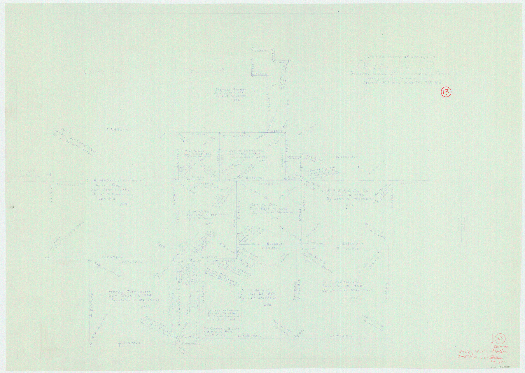
Denton County Working Sketch 13
-
Map/Doc
68618
-
Collection
General Map Collection
-
Object Dates
6/20/1962 (Creation Date)
-
People and Organizations
Roy Buckholts (Draftsman)
-
Counties
Denton
-
Subjects
Surveying Working Sketch
-
Height x Width
25.7 x 36.2 inches
65.3 x 92.0 cm
-
Scale
1" = 300 varas
Part of: General Map Collection
Brewster County Rolled Sketch 114

Print $20.00
- Digital $50.00
Brewster County Rolled Sketch 114
1964
Size 11.8 x 17.8 inches
Map/Doc 5289
Somervell County

Print $20.00
- Digital $50.00
Somervell County
1941
Size 29.2 x 27.1 inches
Map/Doc 95642
Kerr County Boundary File 1

Print $4.00
- Digital $50.00
Kerr County Boundary File 1
Size 12.7 x 8.1 inches
Map/Doc 55982
Map of Palo Pinto County

Print $20.00
- Digital $50.00
Map of Palo Pinto County
1898
Size 45.8 x 37.6 inches
Map/Doc 16783
Maps of Gulf Intracoastal Waterway, Texas - Sabine River to the Rio Grande and connecting waterways including ship channels

Print $20.00
- Digital $50.00
Maps of Gulf Intracoastal Waterway, Texas - Sabine River to the Rio Grande and connecting waterways including ship channels
1966
Size 14.5 x 22.3 inches
Map/Doc 61923
Flight Mission No. BRA-17M, Frame 12, Jefferson County

Print $20.00
- Digital $50.00
Flight Mission No. BRA-17M, Frame 12, Jefferson County
1953
Size 18.5 x 22.3 inches
Map/Doc 85793
Travis County Rolled Sketch 56

Print $20.00
- Digital $50.00
Travis County Rolled Sketch 56
1885
Size 16.7 x 23.2 inches
Map/Doc 8047
Coke County Working Sketch 7

Print $20.00
- Digital $50.00
Coke County Working Sketch 7
1924
Size 15.8 x 20.4 inches
Map/Doc 68044
Baylor County Working Sketch Graphic Index

Print $20.00
- Digital $50.00
Baylor County Working Sketch Graphic Index
1961
Size 41.1 x 33.6 inches
Map/Doc 76463
Bandera County Working Sketch 42

Print $20.00
- Digital $50.00
Bandera County Working Sketch 42
1978
Size 26.9 x 29.8 inches
Map/Doc 67638
Schleicher Co.

Print $20.00
- Digital $50.00
Schleicher Co.
1893
Size 20.8 x 29.3 inches
Map/Doc 63025
Briscoe County Sketch File 2

Print $40.00
- Digital $50.00
Briscoe County Sketch File 2
1880
Size 18.3 x 15.4 inches
Map/Doc 10991
You may also like
Matagorda County State Real Property Sketch 1

Print $20.00
- Digital $50.00
Matagorda County State Real Property Sketch 1
1989
Size 19.1 x 25.2 inches
Map/Doc 95171
Crosby County Working Sketch 5

Print $20.00
- Digital $50.00
Crosby County Working Sketch 5
1911
Size 23.3 x 16.7 inches
Map/Doc 68439
Map of Pecos Co.

Print $40.00
- Digital $50.00
Map of Pecos Co.
1896
Size 47.7 x 70.1 inches
Map/Doc 76038
Flight Mission No. DQO-1K, Frame 146, Galveston County

Print $20.00
- Digital $50.00
Flight Mission No. DQO-1K, Frame 146, Galveston County
1952
Size 18.9 x 22.5 inches
Map/Doc 84999
Throckmorton County Sketch File 8

Print $66.00
- Digital $50.00
Throckmorton County Sketch File 8
Size 24.0 x 32.4 inches
Map/Doc 12433
Working Sketch Hutchinson County

Print $20.00
- Digital $50.00
Working Sketch Hutchinson County
1925
Size 30.0 x 20.6 inches
Map/Doc 92167
Dimmit County Working Sketch 7

Print $20.00
- Digital $50.00
Dimmit County Working Sketch 7
1927
Size 26.2 x 22.3 inches
Map/Doc 68668
Deaf Smith County Rolled Sketch 1

Print $20.00
- Digital $50.00
Deaf Smith County Rolled Sketch 1
1965
Size 24.8 x 25.9 inches
Map/Doc 5698
Aransas County Rolled Sketch 27D

Print $20.00
- Digital $50.00
Aransas County Rolled Sketch 27D
1930
Size 40.5 x 40.2 inches
Map/Doc 8418

Montgomery County Rolled Sketch 20

Print $20.00
- Digital $50.00
Montgomery County Rolled Sketch 20
1933
Size 34.5 x 33.7 inches
Map/Doc 9531
Jones Subdivision of Sections 28 and 32, Block "A' and Section 2, Block "D3"

Print $2.00
- Digital $50.00
Jones Subdivision of Sections 28 and 32, Block "A' and Section 2, Block "D3"
1928
Size 8.7 x 8.7 inches
Map/Doc 92708