Aransas County Rolled Sketch 27D
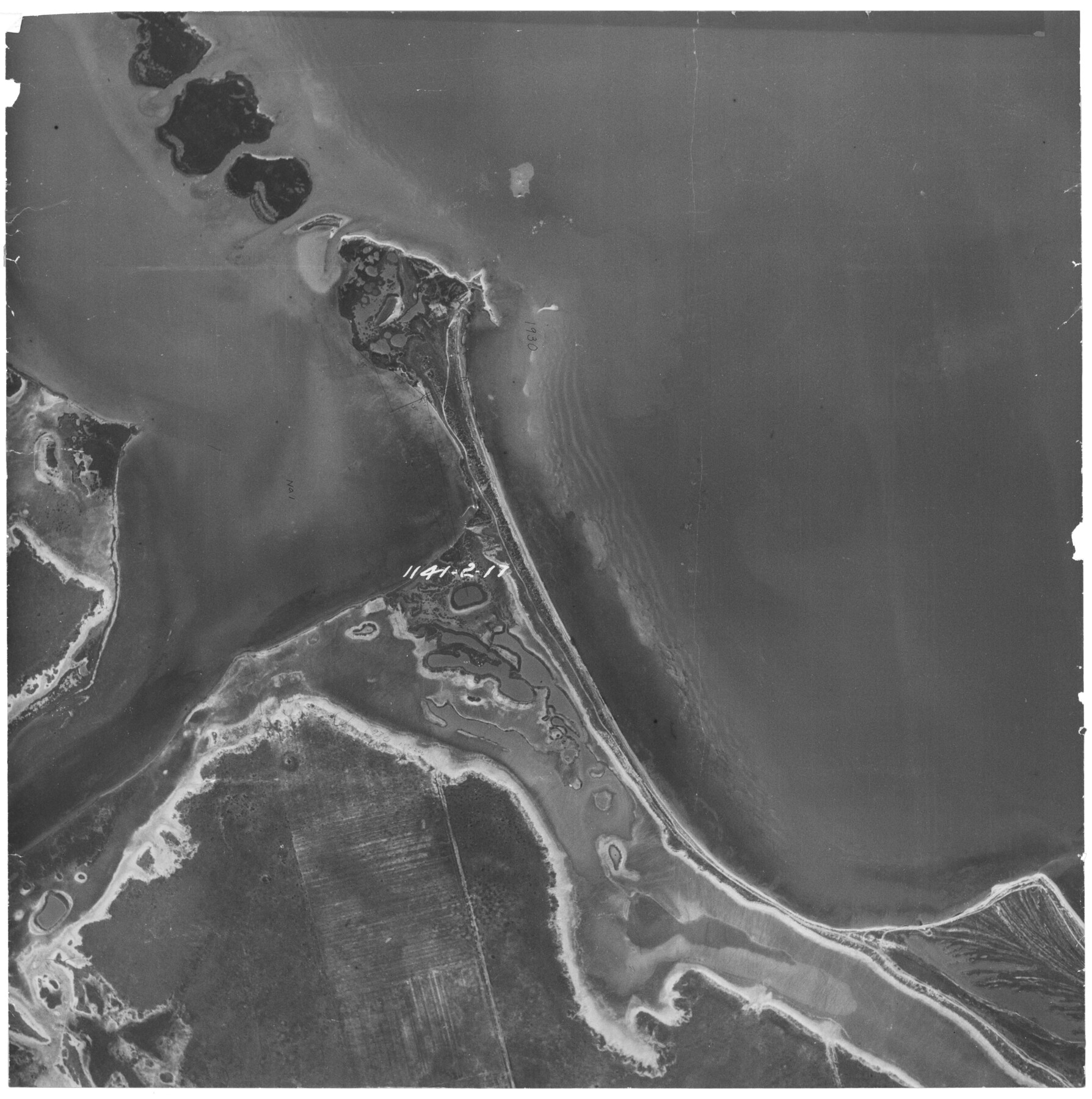
[1930 Aerial photograph of part of A-14 and A-93, northwest of Rockport]
-
Map/Doc
8418
-
Collection
General Map Collection
-
Object Dates
1930 (Creation Date)
1983/10/6 (File Date)
-
Counties
Aransas
-
Subjects
Aerial Photograph Surveying Rolled Sketch
-
Height x Width
40.5 x 40.2 inches
102.9 x 102.1 cm
-
Medium
photograph
-
Comments
See Aransas County Rolled Sketches 27 (5059), 27A (5058), 27B (5057), 27C (5056), 27E (8419), and 27G (8421) for related sketch and other aerial photographs.
Related maps
Aransas County Rolled Sketch 27C

Print $20.00
- Digital $50.00
Aransas County Rolled Sketch 27C
1979
Size 17.3 x 19.3 inches
Map/Doc 5056
Aransas County Rolled Sketch 27B

Print $2.00
- Digital $50.00
Aransas County Rolled Sketch 27B
1958
Size 9.1 x 9.1 inches
Map/Doc 5057
Aransas County Rolled Sketch 27A

Print $2.00
- Digital $50.00
Aransas County Rolled Sketch 27A
1930
Size 8.9 x 7.2 inches
Map/Doc 5058
Aransas County Rolled Sketch 27

Print $20.00
- Digital $50.00
Aransas County Rolled Sketch 27
1983
Size 24.9 x 35.4 inches
Map/Doc 5059
Aransas County Rolled Sketch 27E

Print $20.00
- Digital $50.00
Aransas County Rolled Sketch 27E
1958
Size 30.2 x 30.9 inches
Map/Doc 8419
Aransas County Rolled Sketch 27G

Print $20.00
- Digital $50.00
Aransas County Rolled Sketch 27G
1983
Size 32.8 x 33.0 inches
Map/Doc 8421
Part of: General Map Collection
Webb County Sketch File A1

Print $20.00
- Digital $50.00
Webb County Sketch File A1
1897
Size 20.3 x 20.3 inches
Map/Doc 12604
Walker County Sketch File 6

Print $4.00
- Digital $50.00
Walker County Sketch File 6
1876
Size 8.1 x 6.1 inches
Map/Doc 39557
Sketch of Maneuver Tract

Print $20.00
- Digital $50.00
Sketch of Maneuver Tract
1870
Size 18.5 x 14.4 inches
Map/Doc 2184
Sherman County Boundary File 1

Print $20.00
- Digital $50.00
Sherman County Boundary File 1
Size 11.4 x 8.9 inches
Map/Doc 58751

Flight Mission No. DAG-18K, Frame 190, Matagorda County

Print $20.00
- Digital $50.00
Flight Mission No. DAG-18K, Frame 190, Matagorda County
1952
Size 18.6 x 22.3 inches
Map/Doc 86382
Crockett County Rolled Sketch 52

Print $20.00
- Digital $50.00
Crockett County Rolled Sketch 52
Size 36.7 x 44.7 inches
Map/Doc 8715
Runnels County Rolled Sketch 41

Print $20.00
- Digital $50.00
Runnels County Rolled Sketch 41
Size 26.1 x 29.8 inches
Map/Doc 7529
Upton County Sketch File 5

Print $40.00
- Digital $50.00
Upton County Sketch File 5
Size 8.7 x 24.4 inches
Map/Doc 38813
Flight Mission No. DQN-5K, Frame 52, Calhoun County

Print $20.00
- Digital $50.00
Flight Mission No. DQN-5K, Frame 52, Calhoun County
1953
Size 18.6 x 22.3 inches
Map/Doc 84397
Grayson County Sketch File 22

Print $4.00
- Digital $50.00
Grayson County Sketch File 22
1871
Size 10.4 x 8.4 inches
Map/Doc 24501
Galveston County Sketch File 13

Print $20.00
- Digital $50.00
Galveston County Sketch File 13
Size 16.2 x 12.5 inches
Map/Doc 11530
You may also like
Real County Working Sketch 56

Print $20.00
- Digital $50.00
Real County Working Sketch 56
1960
Size 31.1 x 23.9 inches
Map/Doc 71948
Throckmorton County Boundary File 1

Print $12.00
- Digital $50.00
Throckmorton County Boundary File 1
Size 8.8 x 7.8 inches
Map/Doc 59258
Hartley County Boundary File 1

Print $64.00
- Digital $50.00
Hartley County Boundary File 1
Size 8.8 x 25.8 inches
Map/Doc 54423
Fort Bend County Rolled Sketch 10

Print $99.00
- Digital $50.00
Fort Bend County Rolled Sketch 10
1958
Size 9.9 x 15.9 inches
Map/Doc 44707
Map of Darrington State Farm, Brazoria County, Texas

Print $20.00
- Digital $50.00
Map of Darrington State Farm, Brazoria County, Texas
Size 18.5 x 37.9 inches
Map/Doc 62985
Calhoun County Sketch File 17

Print $4.00
- Digital $50.00
Calhoun County Sketch File 17
Size 5.1 x 8.4 inches
Map/Doc 35984
Flight Mission No. CLL-3N, Frame 19, Willacy County

Print $20.00
- Digital $50.00
Flight Mission No. CLL-3N, Frame 19, Willacy County
1954
Size 18.4 x 22.1 inches
Map/Doc 87085
Flight Mission No. DCL-7C, Frame 50, Kenedy County

Print $20.00
- Digital $50.00
Flight Mission No. DCL-7C, Frame 50, Kenedy County
1943
Size 16.6 x 16.5 inches
Map/Doc 86038
Flight Mission No. DQN-2K, Frame 156, Calhoun County

Print $20.00
- Digital $50.00
Flight Mission No. DQN-2K, Frame 156, Calhoun County
1953
Size 18.5 x 22.3 inches
Map/Doc 84318
Right of Way and Track Map of The Missouri, Kansas & Texas Railway of Texas

Print $40.00
- Digital $50.00
Right of Way and Track Map of The Missouri, Kansas & Texas Railway of Texas
1918
Size 25.0 x 50.7 inches
Map/Doc 64536
Sutton County Rolled Sketch 35

Print $20.00
- Digital $50.00
Sutton County Rolled Sketch 35
1886
Size 30.3 x 28.4 inches
Map/Doc 7879
Smith County Working Sketch 6

Print $20.00
- Digital $50.00
Smith County Working Sketch 6
1940
Size 15.7 x 25.7 inches
Map/Doc 63891