Aransas County Rolled Sketch 27A
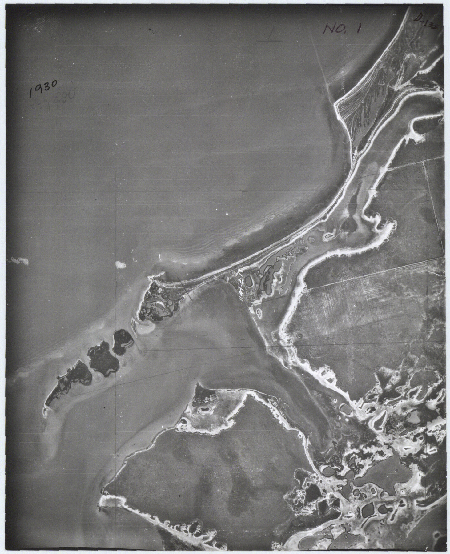
[1930 Aerial photograph of part of A-14 and A-93, northwest of Rockport]
-
Map/Doc
5058
-
Collection
General Map Collection
-
Object Dates
1930 (Creation Date)
-
Counties
Aransas
-
Subjects
Aerial Photograph Surveying Rolled Sketch
-
Height x Width
8.9 x 7.2 inches
22.6 x 18.3 cm
-
Medium
photograph
-
Comments
See Aransas County Rolled Sketches 27 (5059), 27B (5057), 27C (5056), 27D (8418), 27E (8419), and 27G (8421) for related sketch and other aerial photographs.
Related maps
Aransas County Rolled Sketch 27C

Print $20.00
- Digital $50.00
Aransas County Rolled Sketch 27C
1979
Size 17.3 x 19.3 inches
Map/Doc 5056
Aransas County Rolled Sketch 27B

Print $2.00
- Digital $50.00
Aransas County Rolled Sketch 27B
1958
Size 9.1 x 9.1 inches
Map/Doc 5057
Aransas County Rolled Sketch 27

Print $20.00
- Digital $50.00
Aransas County Rolled Sketch 27
1983
Size 24.9 x 35.4 inches
Map/Doc 5059
Aransas County Rolled Sketch 27D

Print $20.00
- Digital $50.00
Aransas County Rolled Sketch 27D
1930
Size 40.5 x 40.2 inches
Map/Doc 8418
Aransas County Rolled Sketch 27E

Print $20.00
- Digital $50.00
Aransas County Rolled Sketch 27E
1958
Size 30.2 x 30.9 inches
Map/Doc 8419
Aransas County Rolled Sketch 27G

Print $20.00
- Digital $50.00
Aransas County Rolled Sketch 27G
1983
Size 32.8 x 33.0 inches
Map/Doc 8421
Part of: General Map Collection
Aransas Pass to Baffin Bay

Print $20.00
- Digital $50.00
Aransas Pass to Baffin Bay
1938
Size 41.6 x 34.5 inches
Map/Doc 73411
Mitchell County

Print $20.00
- Digital $50.00
Mitchell County
1922
Size 42.6 x 38.3 inches
Map/Doc 2309
Reeves County Working Sketch 57

Print $40.00
- Digital $50.00
Reeves County Working Sketch 57
1978
Size 58.3 x 35.8 inches
Map/Doc 63500
Flight Mission No. BQR-9K, Frame 11, Brazoria County

Print $20.00
- Digital $50.00
Flight Mission No. BQR-9K, Frame 11, Brazoria County
1952
Size 18.7 x 22.4 inches
Map/Doc 84040
Aransas County Rolled Sketch 15C

Print $3.00
- Digital $50.00
Aransas County Rolled Sketch 15C
Size 10.2 x 17.6 inches
Map/Doc 76067
Van Zandt County Rolled Sketch 6

Print $6.00
- Digital $50.00
Van Zandt County Rolled Sketch 6
1946
Size 33.5 x 34.2 inches
Map/Doc 10091
Wheeler County Sketch File 3

Print $24.00
- Digital $50.00
Wheeler County Sketch File 3
1881
Size 12.9 x 8.4 inches
Map/Doc 39998
Cameron County Sketch File 3

Print $42.00
- Digital $50.00
Cameron County Sketch File 3
1930
Size 11.1 x 8.8 inches
Map/Doc 17023
Right of Way and Track Map, The Missouri, Kansas and Texas Ry. of Texas operated by the Missouri, Kansas and Texas Ry. of Texas, Henrietta Division

Print $40.00
- Digital $50.00
Right of Way and Track Map, The Missouri, Kansas and Texas Ry. of Texas operated by the Missouri, Kansas and Texas Ry. of Texas, Henrietta Division
1918
Size 24.8 x 56.3 inches
Map/Doc 64069

Angelina County Sketch File 11e

Print $6.00
- Digital $50.00
Angelina County Sketch File 11e
1885
Size 12.7 x 8.2 inches
Map/Doc 12951
[Sketch from Burnet Co. to Baylor Co. tying center of counties to county site]
![1699, [Sketch from Burnet Co. to Baylor Co. tying center of counties to county site], General Map Collection](https://historictexasmaps.com/wmedia_w700/maps/1699.tif.jpg)
Print $40.00
- Digital $50.00
[Sketch from Burnet Co. to Baylor Co. tying center of counties to county site]
1900
Size 132.6 x 31.9 inches
Map/Doc 1699
You may also like
Victoria County Sketch File A

Print $20.00
- Digital $50.00
Victoria County Sketch File A
1902
Size 23.7 x 22.4 inches
Map/Doc 12597
Angelina County Working Sketch 18

Print $20.00
- Digital $50.00
Angelina County Working Sketch 18
1944
Size 26.6 x 28.8 inches
Map/Doc 67099
Harrison County State Real Property Sketch 1

Print $20.00
- Digital $50.00
Harrison County State Real Property Sketch 1
1986
Size 24.2 x 25.4 inches
Map/Doc 61666
R. H. Fulton Lands

Print $20.00
- Digital $50.00
R. H. Fulton Lands
Size 39.9 x 14.3 inches
Map/Doc 92509
Map of the State of Texas Showing Original Land Districts

Print $20.00
- Digital $50.00
Map of the State of Texas Showing Original Land Districts
1891
Size 42.2 x 42.4 inches
Map/Doc 2138
Revised Map of the State of Texas

Print $20.00
- Digital $50.00
Revised Map of the State of Texas
1876
Size 20.6 x 20.6 inches
Map/Doc 96795
Nueces County Rolled Sketch 105

Print $96.00
Nueces County Rolled Sketch 105
1986
Size 18.1 x 25.4 inches
Map/Doc 7086
Flight Mission No. CUG-2P, Frame 85, Kleberg County

Print $20.00
- Digital $50.00
Flight Mission No. CUG-2P, Frame 85, Kleberg County
1956
Size 18.5 x 22.2 inches
Map/Doc 86217
Flight Mission No. DIX-5P, Frame 110, Aransas County

Print $20.00
- Digital $50.00
Flight Mission No. DIX-5P, Frame 110, Aransas County
1956
Size 17.7 x 18.3 inches
Map/Doc 83789
Flight Mission No. CGI-1N, Frame 168, Cameron County

Print $20.00
- Digital $50.00
Flight Mission No. CGI-1N, Frame 168, Cameron County
1955
Size 18.5 x 22.2 inches
Map/Doc 84503
Cottle County Rolled Sketch 7

Print $20.00
- Digital $50.00
Cottle County Rolled Sketch 7
Size 36.8 x 33.0 inches
Map/Doc 8675
Map Showing Position of Surveys Represented Hereon

Print $40.00
- Digital $50.00
Map Showing Position of Surveys Represented Hereon
Size 38.9 x 57.2 inches
Map/Doc 75809