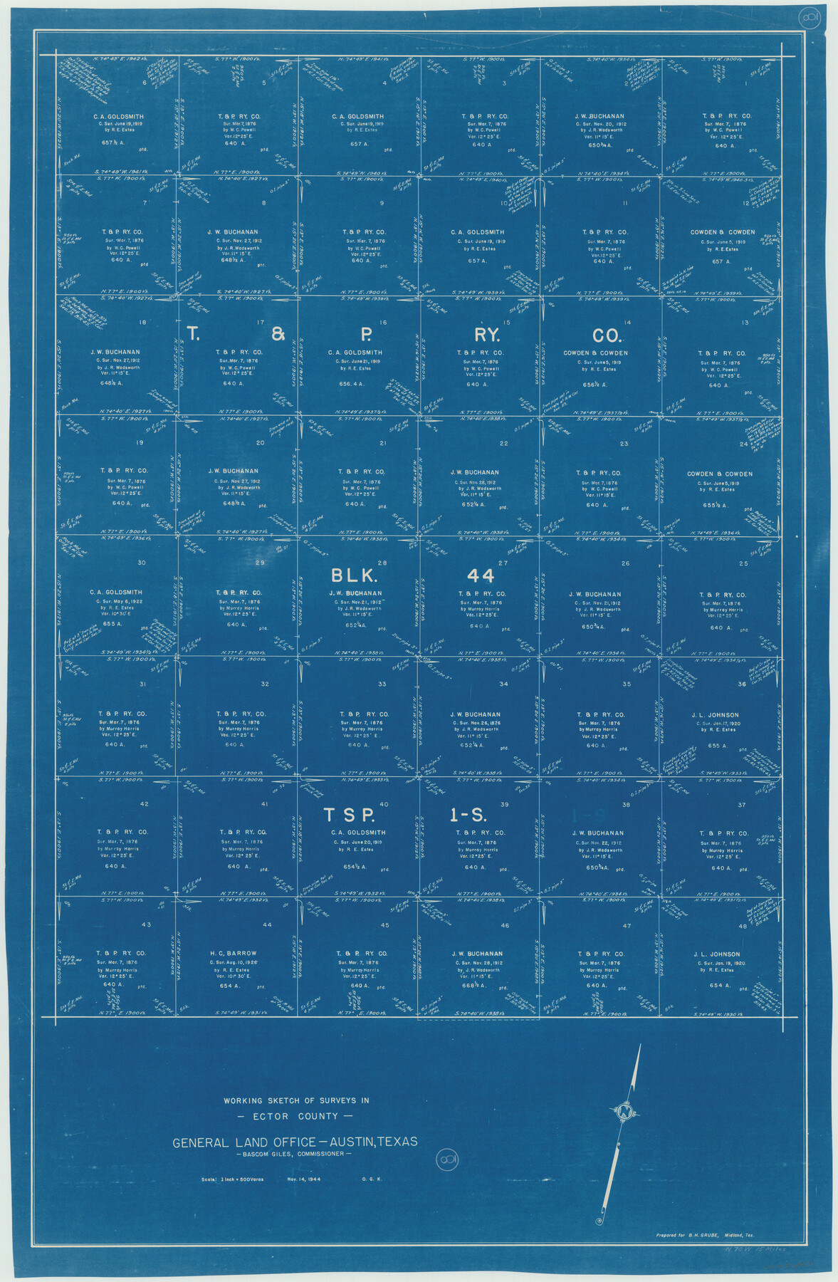
Ector County Working Sketch 8
-
Map/Doc
68851
-
Collection
General Map Collection
-
Object Dates
11/14/1944 (Creation Date)
-
People and Organizations
Otto G. Kurio (Draftsman)
-
Counties
Ector
-
Subjects
Surveying Working Sketch
-
Height x Width
40.5 x 26.5 inches
102.9 x 67.3 cm
-
Scale
1" = 500 varas
Part of: General Map Collection
Gregg County Working Sketch 25

Print $20.00
- Digital $50.00
Gregg County Working Sketch 25
2006
Size 22.6 x 34.0 inches
Map/Doc 83095
Swisher County

Print $20.00
- Digital $50.00
Swisher County
1941
Size 40.9 x 35.2 inches
Map/Doc 77430
Town Site of Marilou on Lake Placedo, Victoria County, Texas

Print $20.00
- Digital $50.00
Town Site of Marilou on Lake Placedo, Victoria County, Texas
1909
Size 17.0 x 22.6 inches
Map/Doc 77092
Stephens County Working Sketch 24

Print $20.00
- Digital $50.00
Stephens County Working Sketch 24
1976
Size 39.2 x 31.9 inches
Map/Doc 63967
Presidio County Rolled Sketch 26

Print $20.00
- Digital $50.00
Presidio County Rolled Sketch 26
1886
Size 33.9 x 26.9 inches
Map/Doc 7333
Red River County Texas

Print $20.00
- Digital $50.00
Red River County Texas
1879
Size 23.7 x 20.1 inches
Map/Doc 3978
Smith County Sketch File 3

Print $4.00
- Digital $50.00
Smith County Sketch File 3
1853
Size 10.5 x 8.6 inches
Map/Doc 36750
Jackson County Rolled Sketch 3C

Print $59.00
- Digital $50.00
Jackson County Rolled Sketch 3C
1913
Size 23.7 x 21.8 inches
Map/Doc 6339
Crane County Working Sketch 12

Print $20.00
- Digital $50.00
Crane County Working Sketch 12
1941
Size 18.6 x 18.1 inches
Map/Doc 68289
Hutchinson County Rolled Sketch 22

Print $20.00
- Digital $50.00
Hutchinson County Rolled Sketch 22
1914
Size 29.3 x 38.0 inches
Map/Doc 6287
San Augustine County Working Sketch 13

Print $20.00
- Digital $50.00
San Augustine County Working Sketch 13
1952
Size 34.0 x 27.6 inches
Map/Doc 63701
Brewster County Sketch File 56

Print $14.00
- Digital $50.00
Brewster County Sketch File 56
2001
Size 11.0 x 8.5 inches
Map/Doc 16392
You may also like
Tom Green County Rolled Sketch 10

Print $20.00
- Digital $50.00
Tom Green County Rolled Sketch 10
1949
Size 26.4 x 32.5 inches
Map/Doc 7997
Limestone County Sketch File 10a

Print $22.00
- Digital $50.00
Limestone County Sketch File 10a
Size 12.5 x 15.8 inches
Map/Doc 30173
Map Showing the position of surveys 1 & 2, B.S. & F. Cert 1/356

Print $20.00
- Digital $50.00
Map Showing the position of surveys 1 & 2, B.S. & F. Cert 1/356
1915
Size 22.0 x 11.1 inches
Map/Doc 10768
Comal County Working Sketch 15

Print $20.00
- Digital $50.00
Comal County Working Sketch 15
1994
Size 44.6 x 31.0 inches
Map/Doc 68181
Flight Mission No. CRK-8P, Frame 117, Refugio County

Print $20.00
- Digital $50.00
Flight Mission No. CRK-8P, Frame 117, Refugio County
1956
Size 18.1 x 22.0 inches
Map/Doc 86972
Kinney County Sketch File 15

Print $20.00
- Digital $50.00
Kinney County Sketch File 15
1887
Size 13.0 x 19.0 inches
Map/Doc 11940
[C. C. Slaughter Block 1, T. T. RR. Co. Block 2]
![90622, [C. C. Slaughter Block 1, T. T. RR. Co. Block 2], Twichell Survey Records](https://historictexasmaps.com/wmedia_w700/maps/90622-1.tif.jpg)
Print $3.00
- Digital $50.00
[C. C. Slaughter Block 1, T. T. RR. Co. Block 2]
Size 10.5 x 10.8 inches
Map/Doc 90622
Parker County Sketch File 47

Print $20.00
- Digital $50.00
Parker County Sketch File 47
1857
Size 16.4 x 34.7 inches
Map/Doc 12151
Coast Chart No. 210 - Aransas Pass and Corpus Christi Bay with the coast to latitude 27° 12', Texas

Print $20.00
- Digital $50.00
Coast Chart No. 210 - Aransas Pass and Corpus Christi Bay with the coast to latitude 27° 12', Texas
1887
Size 30.4 x 24.0 inches
Map/Doc 73444
Map of Chambers Co.

Print $20.00
- Digital $50.00
Map of Chambers Co.
1901
Size 24.9 x 25.1 inches
Map/Doc 4907
Presidio County Working Sketch 61

Print $20.00
- Digital $50.00
Presidio County Working Sketch 61
1957
Size 40.0 x 35.0 inches
Map/Doc 71738
Maverick County Sketch File 26

Print $14.00
- Digital $50.00
Maverick County Sketch File 26
1955
Size 11.3 x 8.7 inches
Map/Doc 31153