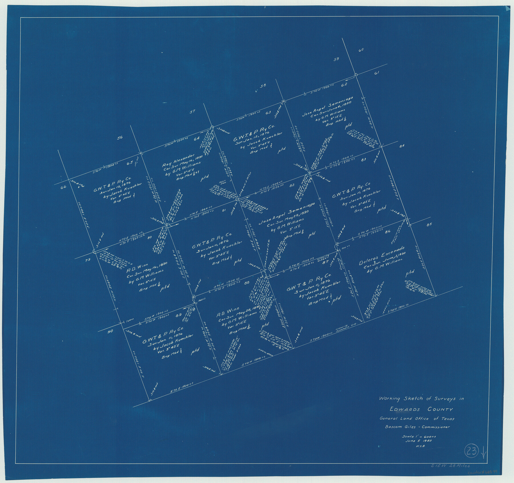
Edwards County Working Sketch 23
-
Map/Doc
68899
-
Collection
General Map Collection
-
Object Dates
6/5/1940 (Creation Date)
-
People and Organizations
W. S. Brewington (Draftsman)
-
Counties
Edwards
-
Subjects
Surveying Working Sketch
-
Height x Width
24.0 x 25.6 inches
61.0 x 65.0 cm
-
Scale
1" = 600 varas
Part of: General Map Collection
Location Survey of the Southern Kansas Railway, Kiowa Extension from a point in Drake's Location, in Indian Territory 100 miles from south line of Kansas, continuing up Wolf Creek and South Canadian River to Cottonwood Creek in Hutchinson County

Print $40.00
- Digital $50.00
Location Survey of the Southern Kansas Railway, Kiowa Extension from a point in Drake's Location, in Indian Territory 100 miles from south line of Kansas, continuing up Wolf Creek and South Canadian River to Cottonwood Creek in Hutchinson County
1886
Size 37.5 x 282.7 inches
Map/Doc 88837
Hidalgo County Sketch File 19

Print $42.00
- Digital $50.00
Hidalgo County Sketch File 19
1983
Size 11.3 x 8.9 inches
Map/Doc 26448
Tyler County Sketch File 20

Print $6.00
- Digital $50.00
Tyler County Sketch File 20
1851
Size 6.9 x 5.8 inches
Map/Doc 38674
Duval County Sketch File 70

Print $4.00
- Digital $50.00
Duval County Sketch File 70
1953
Size 14.2 x 9.0 inches
Map/Doc 21456
Shackelford County Working Sketch 12

Print $20.00
- Digital $50.00
Shackelford County Working Sketch 12
1998
Size 27.0 x 22.3 inches
Map/Doc 63852
Harris County Working Sketch 43

Print $20.00
- Digital $50.00
Harris County Working Sketch 43
1940
Size 26.8 x 22.1 inches
Map/Doc 65935
Orange County Rolled Sketch 18

Print $20.00
- Digital $50.00
Orange County Rolled Sketch 18
Size 11.6 x 12.6 inches
Map/Doc 7182
Gaines County Working Sketch 28

Print $20.00
- Digital $50.00
Gaines County Working Sketch 28
1982
Size 20.9 x 24.6 inches
Map/Doc 69328
Zapata County Working Sketch 17

Print $20.00
- Digital $50.00
Zapata County Working Sketch 17
1970
Size 30.0 x 19.4 inches
Map/Doc 62068
Matagorda Bay and Peninsula from Matagorda Oyster Lake

Print $40.00
- Digital $50.00
Matagorda Bay and Peninsula from Matagorda Oyster Lake
1915
Size 33.1 x 62.0 inches
Map/Doc 69981
Plano del Distrilo de Rio Grande Estado de Coahuila

Print $20.00
- Digital $50.00
Plano del Distrilo de Rio Grande Estado de Coahuila
1906
Size 30.3 x 31.5 inches
Map/Doc 1941
Flight Mission No. BRA-16M, Frame 67, Jefferson County

Print $20.00
- Digital $50.00
Flight Mission No. BRA-16M, Frame 67, Jefferson County
1953
Size 18.6 x 22.4 inches
Map/Doc 85684
You may also like
Ward County Rolled Sketch 13

Print $20.00
- Digital $50.00
Ward County Rolled Sketch 13
1938
Size 30.0 x 20.0 inches
Map/Doc 8156
Dickens County Working Sketch 10

Print $40.00
- Digital $50.00
Dickens County Working Sketch 10
1965
Size 62.2 x 39.5 inches
Map/Doc 68658
Gillespie County Sketch File 4

Print $4.00
- Digital $50.00
Gillespie County Sketch File 4
1860
Size 12.7 x 8.2 inches
Map/Doc 24135
Kendall County Sketch File 15

Print $4.00
- Digital $50.00
Kendall County Sketch File 15
1860
Size 12.4 x 7.8 inches
Map/Doc 28703
Gaines County Rolled Sketch 17A

Print $40.00
- Digital $50.00
Gaines County Rolled Sketch 17A
1950
Size 23.9 x 61.6 inches
Map/Doc 9040
Trinity River, Kimbrough Lake Sheet

Print $4.00
- Digital $50.00
Trinity River, Kimbrough Lake Sheet
1929
Size 26.0 x 19.4 inches
Map/Doc 65225
Lavaca County Working Sketch 20

Print $20.00
- Digital $50.00
Lavaca County Working Sketch 20
1980
Size 19.2 x 26.0 inches
Map/Doc 70373
Lampasas County Sketch File 19

Print $4.00
- Digital $50.00
Lampasas County Sketch File 19
1888
Size 10.3 x 8.2 inches
Map/Doc 29432

University Land, El Paso County

Print $20.00
- Digital $50.00
University Land, El Paso County
1906
Size 25.1 x 31.4 inches
Map/Doc 2428
Glasscock County Boundary File 2

Print $14.00
- Digital $50.00
Glasscock County Boundary File 2
Size 14.4 x 9.1 inches
Map/Doc 53790
General Highway Map, Yoakum County, Texas

Print $20.00
General Highway Map, Yoakum County, Texas
1961
Size 18.2 x 24.7 inches
Map/Doc 79719