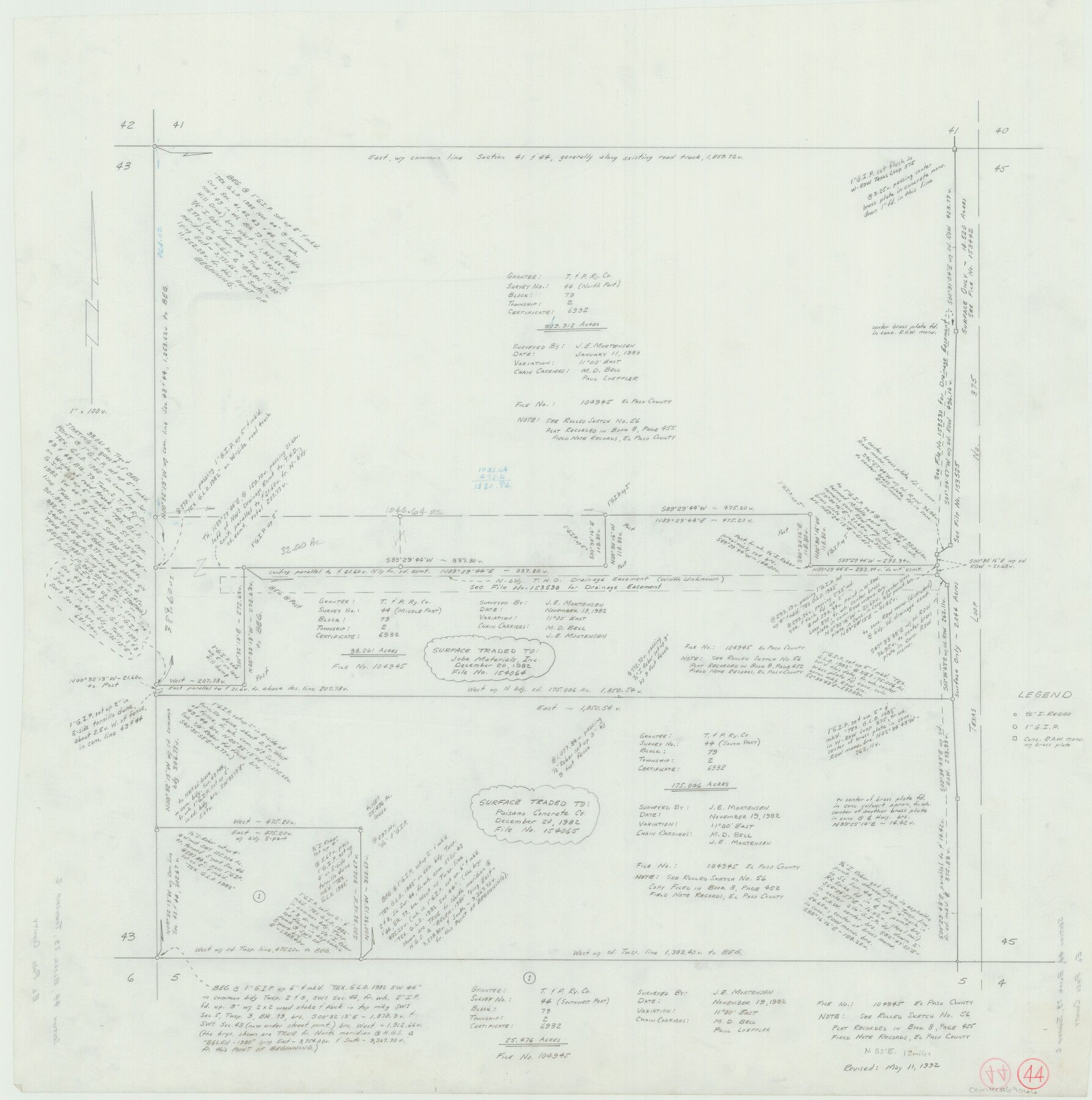
El Paso County Working Sketch 44
- 
                          Map/Doc69066
- 
                            CollectionGeneral Map Collection
- 
                            Object Dates5/11/1992 (Creation Date)
- 
                            CountiesEl Paso
- 
                            SubjectsSurveying Working Sketch
- 
                            Height x Width25.6 x 25.4 inches65.0 x 64.5 cm
Related maps
            El Paso County Working Sketch 56


                                            Print $40.00                    
                                             -                         Digital $50.00                                    
                El Paso County Working Sketch 56
1971
Size 65.7 x 43.4 inches
                                Map/Doc 69078
            Part of: General Map Collection
            Garza County Sketch File B


                                            Print $20.00                    
                                             -                         Digital $50.00                                    
                Garza County Sketch File B
1898
Size 19.3 x 29.4 inches
                                Map/Doc 11549
            
            Motley County


                                            Print $20.00                    
                                             -                         Digital $50.00                                    
                Motley County
1914
Size 47.8 x 37.9 inches
                                Map/Doc 66947
            
            Ector County Working Sketch 4


                                            Print $20.00                    
                                             -                         Digital $50.00                                    
                Ector County Working Sketch 4
1940
Size 25.8 x 30.0 inches
                                Map/Doc 68847
            
            Loving County Working Sketch 26


                                            Print $40.00                    
                                             -                         Digital $50.00                                    
                Loving County Working Sketch 26
2014
Size 33.3 x 48.0 inches
                                Map/Doc 93681
            
            Shelby County Working Sketch 27


                                            Print $20.00                    
                                             -                         Digital $50.00                                    
                Shelby County Working Sketch 27
1995
Size 32.8 x 39.9 inches
                                Map/Doc 63881
            
            Falls of St. Anthony


                                            Print $2.00                    
                                             -                         Digital $50.00                                    
                Falls of St. Anthony
1810
Size 6.2 x 8.8 inches
                                Map/Doc 95152
            
            [Gulf Coast of Texas]
            
                                    ![72701, [Gulf Coast of Texas], General Map Collection](https://historictexasmaps.com/wmedia_w700/maps/72701.tif.jpg) 


    ![72701, [Gulf Coast of Texas], General Map Collection](https://historictexasmaps.com/wmedia_w700/maps/72701.tif.jpg) 
                                
            
                                            Print $20.00                    
                                             -                         Digital $50.00                                    
                [Gulf Coast of Texas]
1881
Size 18.2 x 28.5 inches
                                Map/Doc 72701
            
            Kerr County Rolled Sketch 12


                                            Print $20.00                    
                                             -                         Digital $50.00                                    
                Kerr County Rolled Sketch 12
1951
Size 22.6 x 28.5 inches
                                Map/Doc 6497
            
            Kaufman County Sketch File 18


                                            Print $10.00                    
                                             -                         Digital $50.00                                    
                Kaufman County Sketch File 18
1936
Size 11.4 x 8.8 inches
                                Map/Doc 28661
            
            Goliad County Sketch File 24


                                            Print $16.00                    
                                             -                         Digital $50.00                                    
                Goliad County Sketch File 24
1856
Size 12.9 x 8.2 inches
                                Map/Doc 24297
            
            Presidio County Working Sketch 40


                                            Print $6.00                    
                                             -                         Digital $50.00                                    
                Presidio County Working Sketch 40
1948
Size 33.2 x 26.2 inches
                                Map/Doc 71717
            You may also like
            [Map showing connecting line from New Mexico to Double Lakes]
            
                                    ![91997, [Map showing connecting line from New Mexico to Double Lakes], Twichell Survey Records](https://historictexasmaps.com/wmedia_w700/maps/91997-1.tif.jpg) 


    ![91997, [Map showing connecting line from New Mexico to Double Lakes], Twichell Survey Records](https://historictexasmaps.com/wmedia_w700/maps/91997-1.tif.jpg) 
                                
            
                                            Print $20.00                    
                                             -                         Digital $50.00                                    
                [Map showing connecting line from New Mexico to Double Lakes]
1913
Size 39.3 x 24.2 inches
                                Map/Doc 91997
            
            Dickens County Working Sketch 6


                                            Print $20.00                    
                                             -                         Digital $50.00                                    
                Dickens County Working Sketch 6
1932
Size 23.7 x 30.7 inches
                                Map/Doc 68654
            
            Dawson County Sketch File 29


                                            Print $4.00                    
                                             -                         Digital $50.00                                    
                Dawson County Sketch File 29
1892
Size 11.3 x 9.0 inches
                                Map/Doc 20592
            
            Genl. Austins Map of Texas With Parts of the Adjoining States


                                            Print $20.00                    
                                             -                         Digital $50.00                                    
                Genl. Austins Map of Texas With Parts of the Adjoining States
1848
Size 30.4 x 25.1 inches
                                Map/Doc 94027
            
            Parker County Sketch File 24


                                            Print $4.00                    
                                             -                         Digital $50.00                                    
                Parker County Sketch File 24
Size 8.6 x 13.0 inches
                                Map/Doc 33564
            
            Clay County Boundary File 9


                                            Print $8.00                    
                                             -                         Digital $50.00                                    
                Clay County Boundary File 9
Size 7.7 x 8.2 inches
                                Map/Doc 51393
            
            Crockett County Sketch File 23


                                            Print $2.00                    
                                             -                         Digital $50.00                                    
                Crockett County Sketch File 23
Size 8.6 x 8.5 inches
                                Map/Doc 19697
            
            Runnels County Sketch File 21A


                                            Print $20.00                    
                                    
                Runnels County Sketch File 21A
1886
Size 17.5 x 20.5 inches
                                Map/Doc 12256
            
            Sabine and Neches Rivers


                                            Print $20.00                    
                                             -                         Digital $50.00                                    
                Sabine and Neches Rivers
1976
Size 19.8 x 44.9 inches
                                Map/Doc 69819
            
            Treaty to Resolve Pending Boundary Differences and Maintain the Rio Grande and Colorado River as the International Boundary Between the United States of American and Mexico


                                            Print $4.00                    
                                             -                         Digital $50.00                                    
                Treaty to Resolve Pending Boundary Differences and Maintain the Rio Grande and Colorado River as the International Boundary Between the United States of American and Mexico
1970
Size 12.3 x 19.0 inches
                                Map/Doc 83098
            
            Kleberg County Rolled Sketch 10-19


                                            Print $20.00                    
                                             -                         Digital $50.00                                    
                Kleberg County Rolled Sketch 10-19
1952
Size 38.2 x 36.7 inches
                                Map/Doc 9379
            
            Gray County Working Sketch 6


                                            Print $20.00                    
                                             -                         Digital $50.00                                    
                Gray County Working Sketch 6
1960
Size 28.8 x 23.2 inches
                                Map/Doc 63237
             
                        