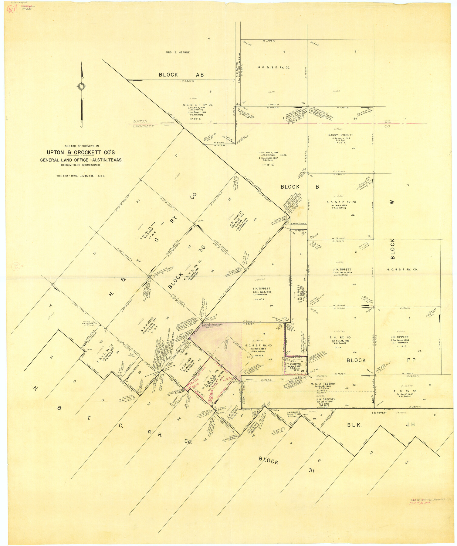
Upton County Working Sketch 19
-
Map/Doc
69515
-
Collection
General Map Collection
-
Object Dates
7/20/1949 (Creation Date)
-
Counties
Upton Crockett
-
Subjects
Surveying Working Sketch
-
Height x Width
51.7 x 43.3 inches
131.3 x 110.0 cm
-
Scale
1" = 300 varas
Part of: General Map Collection
Jackson County Sketch File 1

Print $4.00
- Digital $50.00
Jackson County Sketch File 1
1859
Size 9.9 x 7.6 inches
Map/Doc 27617
Houston including Bellaire, Bunker Hill, Galena Park, Hedwig, Hilshire, Hunters Creek, Jacinto City, Jersey Village, Missouri City, Pasadena, Piney Point, South Houston, Spring Valley, West University Place and adjoining communities [Verso]
![94180, Houston including Bellaire, Bunker Hill, Galena Park, Hedwig, Hilshire, Hunters Creek, Jacinto City, Jersey Village, Missouri City, Pasadena, Piney Point, South Houston, Spring Valley, West University Place and adjoining communities [Verso], General Map Collection](https://historictexasmaps.com/wmedia_w700/maps/94180.tif.jpg)
Houston including Bellaire, Bunker Hill, Galena Park, Hedwig, Hilshire, Hunters Creek, Jacinto City, Jersey Village, Missouri City, Pasadena, Piney Point, South Houston, Spring Valley, West University Place and adjoining communities [Verso]
Size 27.1 x 42.4 inches
Map/Doc 94180
Flight Mission No. BQR-5K, Frame 63, Brazoria County

Print $20.00
- Digital $50.00
Flight Mission No. BQR-5K, Frame 63, Brazoria County
1952
Size 19.0 x 22.6 inches
Map/Doc 84008
Duval County Working Sketch 26

Print $20.00
- Digital $50.00
Duval County Working Sketch 26
1947
Size 34.8 x 36.9 inches
Map/Doc 68750
North Part Brewster Co.

Print $20.00
- Digital $50.00
North Part Brewster Co.
1904
Size 37.0 x 46.9 inches
Map/Doc 66727
Stonewall County Working Sketch 35

Print $20.00
- Digital $50.00
Stonewall County Working Sketch 35
1991
Size 41.1 x 33.0 inches
Map/Doc 62342
Map of Southeastern Part of Young Territory

Print $40.00
- Digital $50.00
Map of Southeastern Part of Young Territory
1874
Size 54.7 x 30.1 inches
Map/Doc 1989
Sabine and Neches Rivers

Print $20.00
- Digital $50.00
Sabine and Neches Rivers
1973
Size 19.7 x 44.6 inches
Map/Doc 69818
Runnels County Sketch File 8

Print $40.00
Runnels County Sketch File 8
Size 37.9 x 37.5 inches
Map/Doc 10591
Mills County Sketch File 24

Print $20.00
- Digital $50.00
Mills County Sketch File 24
Size 19.2 x 21.0 inches
Map/Doc 12094
Rusk County Sketch File 19a

Print $4.00
Rusk County Sketch File 19a
1860
Size 8.2 x 6.6 inches
Map/Doc 35528
Flight Mission No. CGI-3N, Frame 75, Cameron County

Print $20.00
- Digital $50.00
Flight Mission No. CGI-3N, Frame 75, Cameron County
1954
Size 18.6 x 22.2 inches
Map/Doc 84569
You may also like
Dickens County Working Sketch 10

Print $40.00
- Digital $50.00
Dickens County Working Sketch 10
1965
Size 62.2 x 39.5 inches
Map/Doc 68658
[River Secs. 55-79, Archer County School Land League 3 and surrounding surveys]
![90472, [River Secs. 55-79, Archer County School Land League 3 and surrounding surveys], Twichell Survey Records](https://historictexasmaps.com/wmedia_w700/maps/90472-1.tif.jpg)
Print $20.00
- Digital $50.00
[River Secs. 55-79, Archer County School Land League 3 and surrounding surveys]
Size 28.3 x 20.4 inches
Map/Doc 90472
Blanco County Boundary File 8

Print $20.00
- Digital $50.00
Blanco County Boundary File 8
Size 20.1 x 11.1 inches
Map/Doc 50575
Jeff Davis County Sketch File R

Print $12.00
- Digital $50.00
Jeff Davis County Sketch File R
Size 6.0 x 8.7 inches
Map/Doc 28017
Pecos County Sketch File U

Print $20.00
- Digital $50.00
Pecos County Sketch File U
1902
Size 20.9 x 32.7 inches
Map/Doc 12188
North America in the Age of Dinosaurs

North America in the Age of Dinosaurs
1993
Size 27.4 x 20.8 inches
Map/Doc 96831
[Texas Boundary Line]
![92071, [Texas Boundary Line], Twichell Survey Records](https://historictexasmaps.com/wmedia_w700/maps/92071-1.tif.jpg)
Print $20.00
- Digital $50.00
[Texas Boundary Line]
Size 21.5 x 12.0 inches
Map/Doc 92071
University Land in Cooke County

Print $20.00
- Digital $50.00
University Land in Cooke County
1906
Size 23.6 x 30.0 inches
Map/Doc 2425
[Surveys in the Travis District along the Colorado River]
![118, [Surveys in the Travis District along the Colorado River], General Map Collection](https://historictexasmaps.com/wmedia_w700/maps/118.tif.jpg)
Print $2.00
- Digital $50.00
[Surveys in the Travis District along the Colorado River]
1841
Size 8.6 x 15.3 inches
Map/Doc 118
Sketch showing progress of topographical work Laguna Madre and vicinity from Rainey Is. to Baffins Bay, Coast of Texas Sect. IX [and accompanying letter]
![72958, Sketch showing progress of topographical work Laguna Madre and vicinity from Rainey Is. to Baffins Bay, Coast of Texas Sect. IX [and accompanying letter], General Map Collection](https://historictexasmaps.com/wmedia_w700/maps/72958.tif.jpg)
Print $2.00
- Digital $50.00
Sketch showing progress of topographical work Laguna Madre and vicinity from Rainey Is. to Baffins Bay, Coast of Texas Sect. IX [and accompanying letter]
1881
Size 11.2 x 8.8 inches
Map/Doc 72958
Hunt County Boundary File 5

Print $6.00
- Digital $50.00
Hunt County Boundary File 5
Size 11.2 x 8.9 inches
Map/Doc 55222
Red River County Sketch File 20

Print $4.00
- Digital $50.00
Red River County Sketch File 20
Size 8.2 x 10.1 inches
Map/Doc 35152