[Surveys in the Travis District along the Colorado River]
Atlas E, Page 13, Sketch 4 (E-13-4)
E-13-4
-
Map/Doc
118
-
Collection
General Map Collection
-
Object Dates
1841 (Creation Date)
-
Counties
Llano
-
Subjects
Atlas
-
Height x Width
8.6 x 15.3 inches
21.8 x 38.9 cm
-
Medium
paper, manuscript
-
Comments
Conserved in 2004.
-
Features
Colorado River
Part of: General Map Collection
Pecos County Rolled Sketch 115

Print $20.00
- Digital $50.00
Pecos County Rolled Sketch 115
1943
Size 24.0 x 21.6 inches
Map/Doc 7257
El Paso County Sketch File 40

Print $20.00
- Digital $50.00
El Paso County Sketch File 40
1988
Size 24.8 x 35.9 inches
Map/Doc 11461
Map of Mexico, Including Yucatan & Upper California, exhibiting the Chief Cities and Towns, the Principal Travelling Routes &c.

Print $20.00
- Digital $50.00
Map of Mexico, Including Yucatan & Upper California, exhibiting the Chief Cities and Towns, the Principal Travelling Routes &c.
1847
Size 33.3 x 25.4 inches
Map/Doc 95697
Bee County Sketch File 3

Print $6.00
- Digital $50.00
Bee County Sketch File 3
1846
Size 12.5 x 7.6 inches
Map/Doc 14261
Mason County Boundary File 63


Print $10.00
- Digital $50.00
Mason County Boundary File 63
Size 9.4 x 5.9 inches
Map/Doc 56879
Map of University Land part of Fifty League Grant Act of 1839


Print $20.00
- Digital $50.00
Map of University Land part of Fifty League Grant Act of 1839
1905
Size 40.7 x 28.7 inches
Map/Doc 2430
Erath County Working Sketch 26
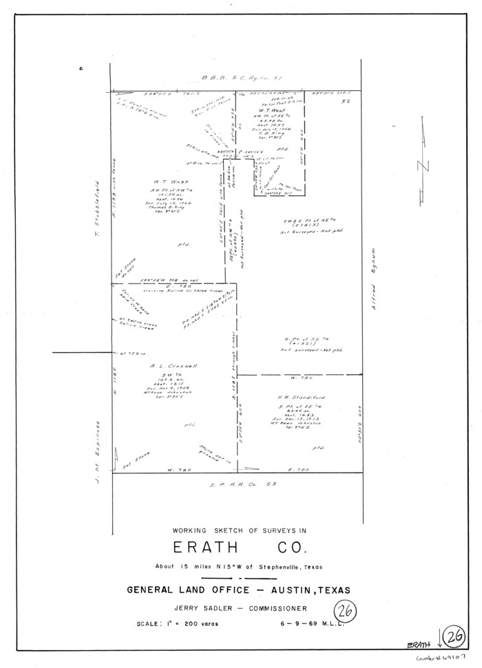

Print $20.00
- Digital $50.00
Erath County Working Sketch 26
1969
Size 20.8 x 15.0 inches
Map/Doc 69107
Surveyors report on resurvey of Capitol Leagues in three parts, also copy of judgement of the District Court, Travis County

Print $20.00
- Digital $50.00
Surveyors report on resurvey of Capitol Leagues in three parts, also copy of judgement of the District Court, Travis County
Size 12.3 x 15.8 inches
Map/Doc 62579
Flight Mission No. BQY-4M, Frame 116, Harris County
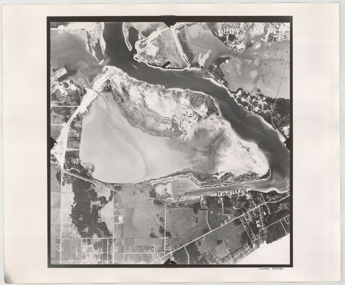

Print $20.00
- Digital $50.00
Flight Mission No. BQY-4M, Frame 116, Harris County
1953
Size 18.5 x 22.4 inches
Map/Doc 85283
Wood County Sketch File 7
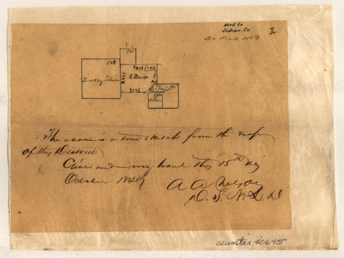

Print $17.00
- Digital $50.00
Wood County Sketch File 7
1848
Size 11.9 x 7.7 inches
Map/Doc 40645
Terrell County Working Sketch 84b


Print $20.00
- Digital $50.00
Terrell County Working Sketch 84b
1992
Size 25.2 x 42.7 inches
Map/Doc 69606
Camp County Working Sketch Graphic Index


Print $20.00
- Digital $50.00
Camp County Working Sketch Graphic Index
1942
Size 25.1 x 29.7 inches
Map/Doc 76487
You may also like
Bee County Sketch File Y
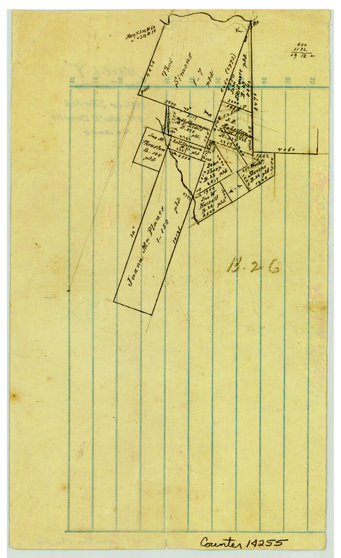

Print $4.00
- Digital $50.00
Bee County Sketch File Y
Size 8.8 x 5.4 inches
Map/Doc 14255
Tarrant County Boundary File 5
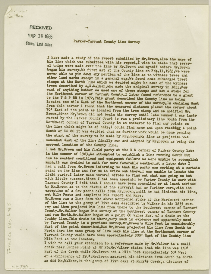

Print $104.00
- Digital $50.00
Tarrant County Boundary File 5
Size 11.4 x 8.8 inches
Map/Doc 59161
Flight Mission No. CUI-1H, Frame 169, Milam County
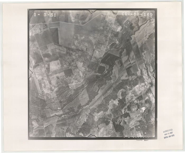

Print $20.00
- Digital $50.00
Flight Mission No. CUI-1H, Frame 169, Milam County
1951
Size 18.7 x 22.6 inches
Map/Doc 86611
Nacogdoches County Sketch File 3
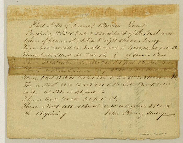

Print $8.00
- Digital $50.00
Nacogdoches County Sketch File 3
Size 6.5 x 8.2 inches
Map/Doc 32237
Crockett County Sketch File 98
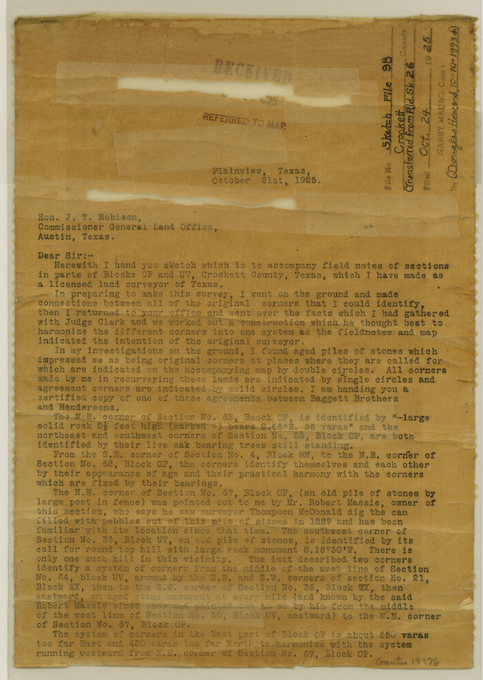

Print $8.00
- Digital $50.00
Crockett County Sketch File 98
1925
Size 12.5 x 8.9 inches
Map/Doc 19976
Val Verde County Sketch File 6 1/2
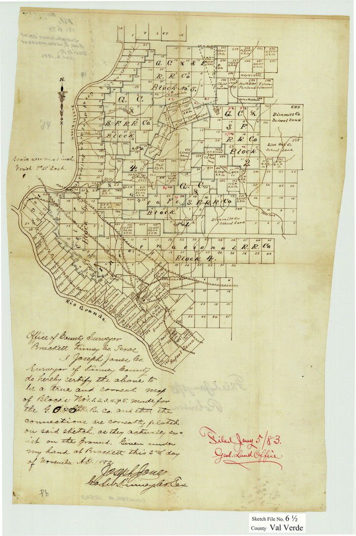

Print $20.00
- Digital $50.00
Val Verde County Sketch File 6 1/2
1882
Size 20.2 x 13.4 inches
Map/Doc 12563
Irion County Rolled Sketch 9


Print $20.00
- Digital $50.00
Irion County Rolled Sketch 9
1940
Size 31.9 x 30.6 inches
Map/Doc 6321
Wichita County Sketch File 30

Print $32.00
- Digital $50.00
Wichita County Sketch File 30
1930
Size 8.8 x 8.3 inches
Map/Doc 40136
Upton County Rolled Sketch 59A
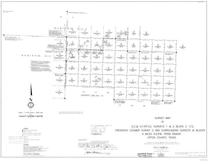

Print $20.00
- Digital $50.00
Upton County Rolled Sketch 59A
Size 35.4 x 45.6 inches
Map/Doc 76422
State Prison Lands Transferred to A&M College, Forest Division, Cherokee County


Print $4.00
- Digital $50.00
State Prison Lands Transferred to A&M College, Forest Division, Cherokee County
1932
Size 11.1 x 20.1 inches
Map/Doc 65086
Township 11 North Range 15 West, Western District, Louisiana
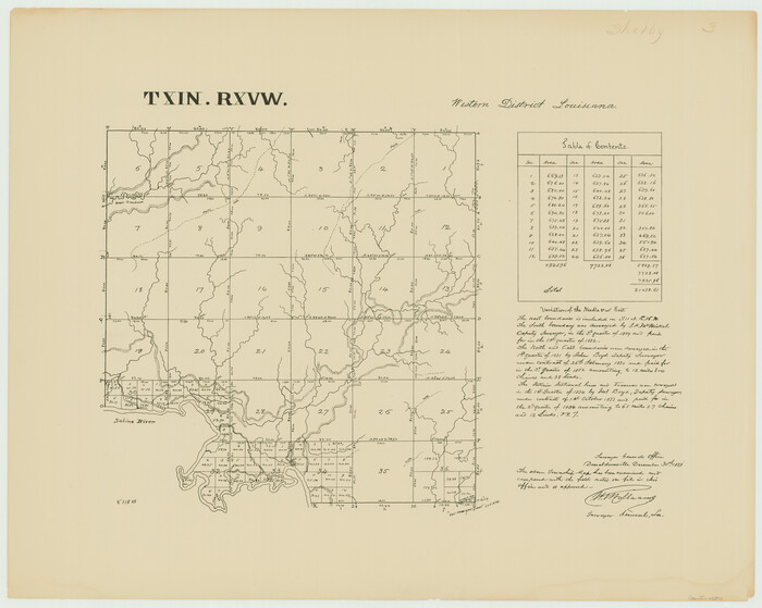

Print $20.00
- Digital $50.00
Township 11 North Range 15 West, Western District, Louisiana
1834
Size 19.7 x 24.6 inches
Map/Doc 65870
Flight Mission No. DCL-7C, Frame 49, Kenedy County
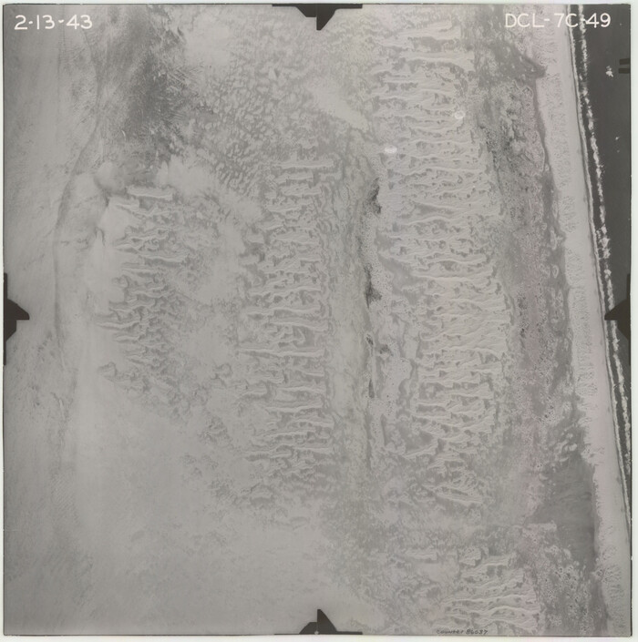

Print $20.00
- Digital $50.00
Flight Mission No. DCL-7C, Frame 49, Kenedy County
1943
Size 16.5 x 16.4 inches
Map/Doc 86037
![118, [Surveys in the Travis District along the Colorado River], General Map Collection](https://historictexasmaps.com/wmedia_w1800h1800/maps/118.tif.jpg)