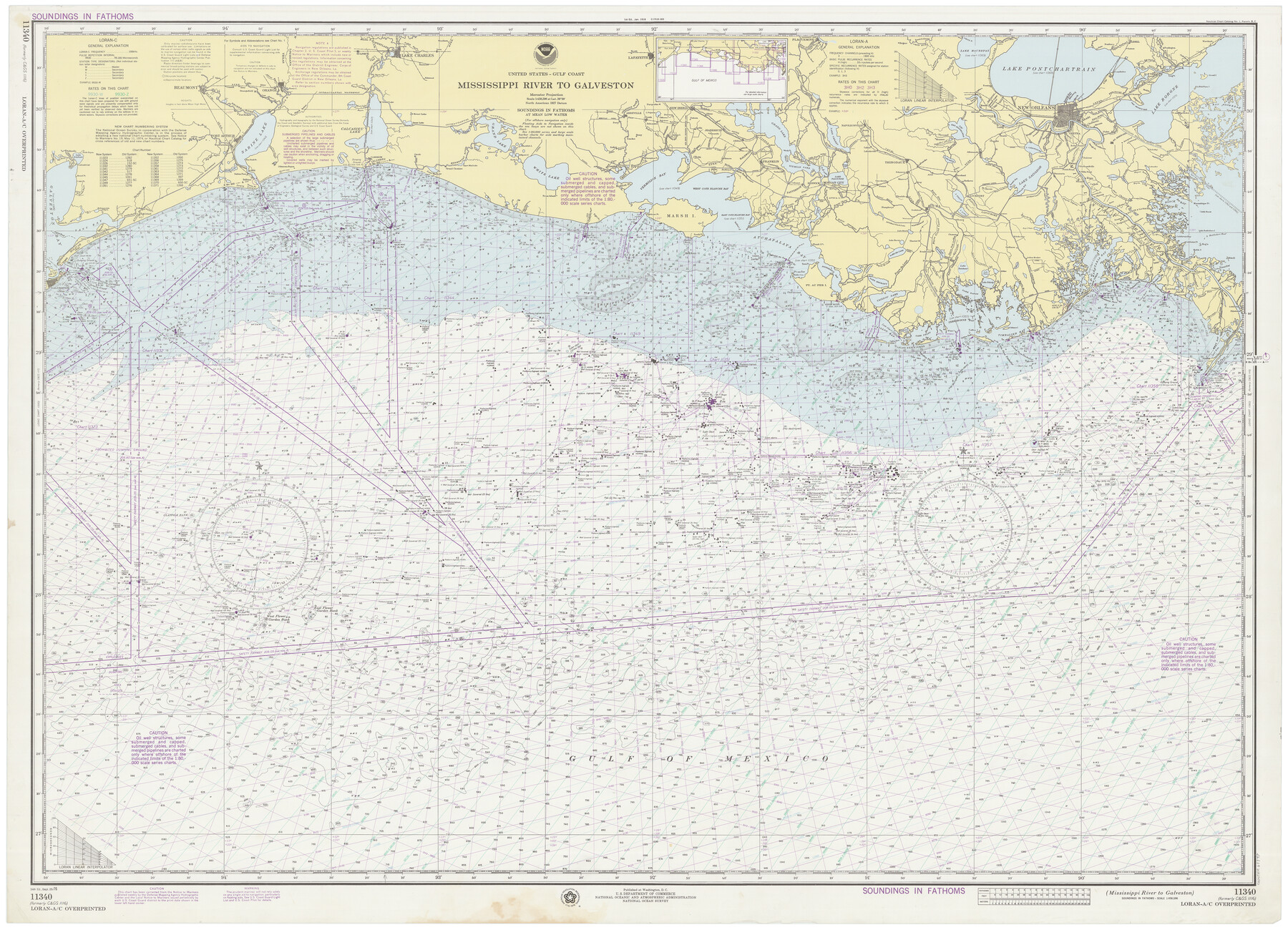
Mississippi River to Galveston
E-6-1116a
-
Map/Doc
69947
-
Collection
General Map Collection
-
Object Dates
9/25/1976 (Creation Date)
-
Counties
Galveston Jefferson Chambers Orange
-
Subjects
Nautical Charts
-
Height x Width
37.4 x 51.2 inches
95.0 x 130.1 cm
Part of: General Map Collection
Maps of Gulf Intracoastal Waterway, Texas - Sabine River to the Rio Grande and connecting waterways including ship channels

Print $20.00
- Digital $50.00
Maps of Gulf Intracoastal Waterway, Texas - Sabine River to the Rio Grande and connecting waterways including ship channels
1966
Size 14.6 x 22.2 inches
Map/Doc 61939
Concho County Rolled Sketch 27

Print $20.00
- Digital $50.00
Concho County Rolled Sketch 27
2002
Size 30.5 x 40.5 inches
Map/Doc 78514
Cherokee County Sketch File 18

Print $4.00
- Digital $50.00
Cherokee County Sketch File 18
1870
Size 10.2 x 8.1 inches
Map/Doc 18159
Brewster County Rolled Sketch 125

Print $179.00
- Digital $50.00
Brewster County Rolled Sketch 125
1889
Map/Doc 43141
Tyler County Sketch File 17a

Print $4.00
- Digital $50.00
Tyler County Sketch File 17a
1853
Size 6.6 x 8.0 inches
Map/Doc 38664
Map of the Lands Surveyed by the Memphis, El Paso & Pacific R.R. Company

Print $20.00
- Digital $50.00
Map of the Lands Surveyed by the Memphis, El Paso & Pacific R.R. Company
1859
Size 15.0 x 30.0 inches
Map/Doc 2219
Palo Pinto County Sketch File 3

Print $20.00
- Digital $50.00
Palo Pinto County Sketch File 3
1850
Size 24.6 x 19.3 inches
Map/Doc 12132
Medina County Rolled Sketch 1

Print $20.00
- Digital $50.00
Medina County Rolled Sketch 1
Size 46.2 x 43.3 inches
Map/Doc 9503
Kleberg County Rolled Sketch 10-24

Print $20.00
- Digital $50.00
Kleberg County Rolled Sketch 10-24
1952
Size 41.7 x 36.0 inches
Map/Doc 9386
Cass County Sketch File 5 1/2

Print $4.00
- Digital $50.00
Cass County Sketch File 5 1/2
1851
Size 6.1 x 8.5 inches
Map/Doc 17404
Galveston County NRC Article 33.136 Location Key Sheet

Print $20.00
- Digital $50.00
Galveston County NRC Article 33.136 Location Key Sheet
1995
Size 27.0 x 22.0 inches
Map/Doc 83592
Loving County Boundary File 1

Print $6.00
- Digital $50.00
Loving County Boundary File 1
Size 11.2 x 8.7 inches
Map/Doc 56452
You may also like
Montgomery County Rolled Sketch 10

Print $20.00
- Digital $50.00
Montgomery County Rolled Sketch 10
1905
Size 35.5 x 26.2 inches
Map/Doc 6796
Map of Coryell Co.

Print $40.00
- Digital $50.00
Map of Coryell Co.
1896
Size 48.0 x 46.2 inches
Map/Doc 66786
Map of Ramsey State Farm

Print $20.00
- Digital $50.00
Map of Ramsey State Farm
1934
Size 30.3 x 38.0 inches
Map/Doc 94284
Archer County Working Sketch 10a

Print $20.00
- Digital $50.00
Archer County Working Sketch 10a
1924
Size 25.9 x 40.6 inches
Map/Doc 67150
Flight Mission No. DQO-7K, Frame 101, Galveston County

Print $20.00
- Digital $50.00
Flight Mission No. DQO-7K, Frame 101, Galveston County
1952
Size 18.7 x 22.6 inches
Map/Doc 85116
Jefferson County Rolled Sketch 48A

Print $20.00
- Digital $50.00
Jefferson County Rolled Sketch 48A
1964
Size 28.4 x 28.1 inches
Map/Doc 6404
East Line of Lipscomb County

Print $20.00
- Digital $50.00
East Line of Lipscomb County
Size 8.9 x 21.7 inches
Map/Doc 91317
Kent County Working Sketch 4

Print $20.00
- Digital $50.00
Kent County Working Sketch 4
1948
Size 27.9 x 25.8 inches
Map/Doc 70011
Jeff Davis County Sketch File 17

Print $6.00
- Digital $50.00
Jeff Davis County Sketch File 17
1884
Size 8.8 x 7.3 inches
Map/Doc 27948
General Highway Map, Howard County, Texas

Print $20.00
General Highway Map, Howard County, Texas
1940
Size 18.5 x 24.7 inches
Map/Doc 79134
General Highway Map. Detail of Cities and Towns in Galveston County, Texas. City Map of Galveston and vicinity, Galveston County, Texas

Print $20.00
General Highway Map. Detail of Cities and Towns in Galveston County, Texas. City Map of Galveston and vicinity, Galveston County, Texas
1961
Size 18.1 x 24.6 inches
Map/Doc 79477
McLennan County Sketch File 8

Print $14.00
- Digital $50.00
McLennan County Sketch File 8
1858
Size 12.4 x 7.7 inches
Map/Doc 31251