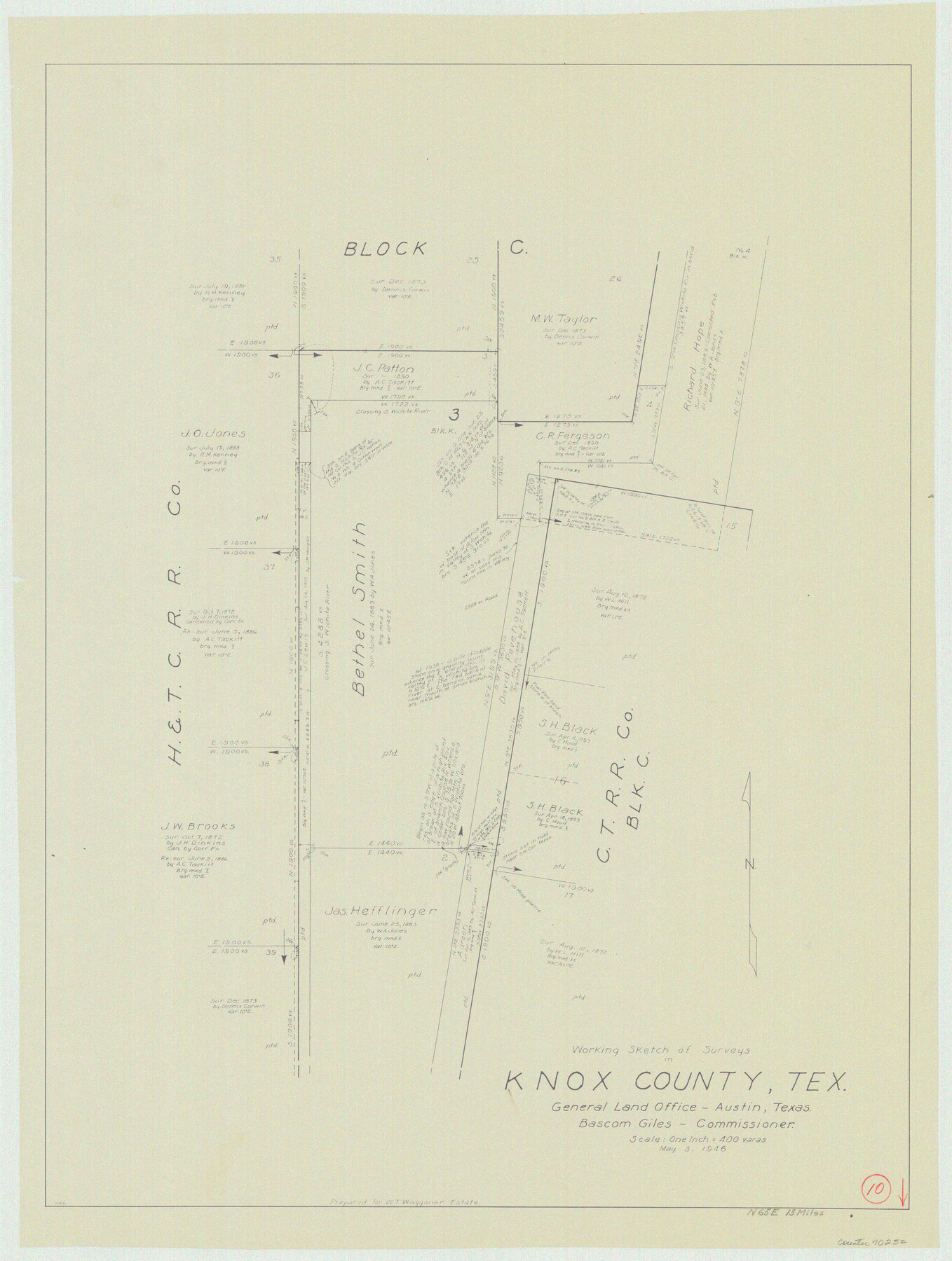
Knox County Working Sketch 10
-
Map/Doc
70252
-
Collection
General Map Collection
-
Object Dates
5/3/1946 (Donation Date)
-
People and Organizations
W. S. Brewington (Draftsman)
-
Counties
Knox
-
Subjects
Surveying Working Sketch
-
Height x Width
30.1 x 22.7 inches
76.5 x 57.7 cm
-
Scale
1" = 400 varas
Part of: General Map Collection
Milam County Boundary File 1

Print $8.00
- Digital $50.00
Milam County Boundary File 1
Size 12.7 x 8.2 inches
Map/Doc 57198
Tyler County Rolled Sketch 10

Print $40.00
- Digital $50.00
Tyler County Rolled Sketch 10
1982
Size 48.7 x 35.4 inches
Map/Doc 10032
Mitchell County Sketch File 6

Print $40.00
- Digital $50.00
Mitchell County Sketch File 6
Size 12.4 x 13.5 inches
Map/Doc 31692
Liberty County Rolled Sketch 14

Print $20.00
- Digital $50.00
Liberty County Rolled Sketch 14
Size 33.2 x 43.9 inches
Map/Doc 6620
Hopkins County Boundary File 3b

Print $4.00
- Digital $50.00
Hopkins County Boundary File 3b
Size 12.7 x 8.3 inches
Map/Doc 55084
Flight Mission No. DIX-6P, Frame 122, Aransas County

Print $20.00
- Digital $50.00
Flight Mission No. DIX-6P, Frame 122, Aransas County
1956
Size 19.1 x 22.4 inches
Map/Doc 83828
Borden County Sketch File 12

Print $24.00
- Digital $50.00
Borden County Sketch File 12
Size 10.8 x 9.1 inches
Map/Doc 14732
Red River County

Print $20.00
- Digital $50.00
Red River County
1934
Size 46.0 x 39.2 inches
Map/Doc 73272
Hardin County Sketch File 3a

Print $12.00
- Digital $50.00
Hardin County Sketch File 3a
1858
Size 10.0 x 7.9 inches
Map/Doc 25088
Outer Continental Shelf Leasing Maps (Texas Offshore Operations)

Print $20.00
- Digital $50.00
Outer Continental Shelf Leasing Maps (Texas Offshore Operations)
Size 17.2 x 13.7 inches
Map/Doc 75842
Trinity County

Print $20.00
- Digital $50.00
Trinity County
1857
Size 19.2 x 30.8 inches
Map/Doc 4094
Aransas County Working Sketch 9

Print $20.00
- Digital $50.00
Aransas County Working Sketch 9
1947
Size 22.5 x 28.0 inches
Map/Doc 67176
You may also like
Crockett County Rolled Sketch 1

Print $40.00
- Digital $50.00
Crockett County Rolled Sketch 1
1888
Size 36.5 x 61.1 inches
Map/Doc 76144
Flight Mission No. DAH-17M, Frame 30, Orange County

Print $20.00
- Digital $50.00
Flight Mission No. DAH-17M, Frame 30, Orange County
1953
Size 18.7 x 22.5 inches
Map/Doc 86893
Bee County Working Sketch 19

Print $20.00
- Digital $50.00
Bee County Working Sketch 19
1980
Size 17.3 x 11.9 inches
Map/Doc 67269
The Dust Bowl: Severe Drought During the Depression

The Dust Bowl: Severe Drought During the Depression
2022
Size 8.5 x 11.0 inches
Map/Doc 97095
Motley County Working Sketch 2

Print $20.00
- Digital $50.00
Motley County Working Sketch 2
1895
Size 17.3 x 21.3 inches
Map/Doc 71207

Cass County Sketch File 21

Print $6.00
- Digital $50.00
Cass County Sketch File 21
1936
Size 14.1 x 8.7 inches
Map/Doc 17424
Polk County Rolled Sketch 27

Print $20.00
- Digital $50.00
Polk County Rolled Sketch 27
1944
Size 21.1 x 26.6 inches
Map/Doc 7315
Clay County Boundary File 9

Print $8.00
- Digital $50.00
Clay County Boundary File 9
Size 7.7 x 8.2 inches
Map/Doc 51393
Northern Part of Laguna Madre

Print $20.00
- Digital $50.00
Northern Part of Laguna Madre
1972
Size 44.2 x 35.0 inches
Map/Doc 73529
Dawson County

Print $20.00
- Digital $50.00
Dawson County
1892
Size 19.7 x 24.7 inches
Map/Doc 90626
Val Verde County Rolled Sketch 54

Print $40.00
- Digital $50.00
Val Verde County Rolled Sketch 54
1938
Size 63.5 x 44.0 inches
Map/Doc 8123