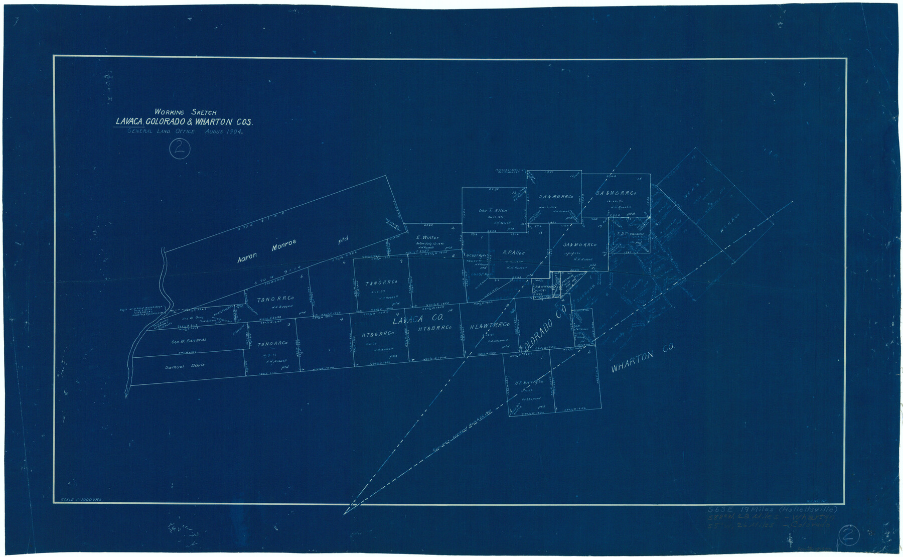
Lavaca County Working Sketch 2
- 
                          Map/Doc70355
- 
                            CollectionGeneral Map Collection
- 
                            Object Dates8/1904 (Creation Date)
- 
                            People and OrganizationsWalter H. Walne (Draftsman)
- 
                            CountiesLavaca Colorado Wharton
- 
                            SubjectsSurveying Working Sketch
- 
                            Height x Width19.2 x 31.2 inches48.8 x 79.3 cm
- 
                            Scale1" = 1000 varas
Part of: General Map Collection
            Terrell County Rolled Sketch 48


                                            Print $20.00                    
                                             -                         Digital $50.00                                    
                Terrell County Rolled Sketch 48
1959
Size 20.5 x 22.3 inches
                                Map/Doc 7950
            
            Marion County Working Sketch 42


                                            Print $20.00                    
                                             -                         Digital $50.00                                    
                Marion County Working Sketch 42
2000
Size 29.6 x 41.4 inches
                                Map/Doc 70818
            
            Flight Mission No. DIX-5P, Frame 105, Aransas County


                                            Print $20.00                    
                                             -                         Digital $50.00                                    
                Flight Mission No. DIX-5P, Frame 105, Aransas County
1956
Size 17.7 x 17.8 inches
                                Map/Doc 83783
            
            Wichita County


                                            Print $20.00                    
                                             -                         Digital $50.00                                    
                Wichita County
1924
Size 32.1 x 39.1 inches
                                Map/Doc 16924
            
            Burnet County Sketch File 30


                                            Print $4.00                    
                                             -                         Digital $50.00                                    
                Burnet County Sketch File 30
Size 11.0 x 8.0 inches
                                Map/Doc 16746
            
            Aransas Pass to Baffin Bay


                                            Print $20.00                    
                                             -                         Digital $50.00                                    
                Aransas Pass to Baffin Bay
1922
Size 18.6 x 27.8 inches
                                Map/Doc 73409
            
            Navasota River, Springfield Sheet


                                            Print $20.00                    
                                             -                         Digital $50.00                                    
                Navasota River, Springfield Sheet
1934
Size 41.5 x 37.8 inches
                                Map/Doc 65074
            
            Hale County Working Sketch 5


                                            Print $20.00                    
                                             -                         Digital $50.00                                    
                Hale County Working Sketch 5
1980
Size 15.0 x 11.1 inches
                                Map/Doc 63325
            
            Menard County Sketch File 11


                                            Print $8.00                    
                                             -                         Digital $50.00                                    
                Menard County Sketch File 11
1892
Size 12.8 x 8.3 inches
                                Map/Doc 31496
            
            Texas Gulf Coast Map from the Sabine River to the Rio Grande as subdivided for mineral development


                                            Print $40.00                    
                                             -                         Digital $50.00                                    
                Texas Gulf Coast Map from the Sabine River to the Rio Grande as subdivided for mineral development
Size 117.9 x 46.0 inches
                                Map/Doc 2902
            
            Sketch Showing surveys on Harbor Island in Nueces County


                                            Print $20.00                    
                                             -                         Digital $50.00                                    
                Sketch Showing surveys on Harbor Island in Nueces County
1951
Size 45.7 x 34.6 inches
                                Map/Doc 1915
            
            Reeves County Sketch File 1a


                                            Print $34.00                    
                                             -                         Digital $50.00                                    
                Reeves County Sketch File 1a
Size 8.7 x 7.3 inches
                                Map/Doc 35181
            You may also like
            [Surveys in the Bexar District along the Guadalupe River and Cibolo Creek]
            
                                    ![3169, [Surveys in the Bexar District along the Guadalupe River and Cibolo Creek], General Map Collection](https://historictexasmaps.com/wmedia_w700/maps/3169.tif.jpg) 


    ![3169, [Surveys in the Bexar District along the Guadalupe River and Cibolo Creek], General Map Collection](https://historictexasmaps.com/wmedia_w700/maps/3169.tif.jpg) 
                                
            
                                            Print $20.00                    
                                             -                         Digital $50.00                                    
                [Surveys in the Bexar District along the Guadalupe River and Cibolo Creek]
1846
Size 9.6 x 18.3 inches
                                Map/Doc 3169
            
            Terrell County Rolled Sketch 45


                                            Print $40.00                    
                                             -                         Digital $50.00                                    
                Terrell County Rolled Sketch 45
1953
Size 33.5 x 51.7 inches
                                Map/Doc 9991
            
            Abernathy Quadrangle


                                            Print $20.00                    
                                             -                         Digital $50.00                                    
                Abernathy Quadrangle
Size 17.6 x 21.4 inches
                                Map/Doc 92813
            
            [Copy of a portion of] The Coast & Bays of Western Texas, St. Joseph's and Mustang Islands from Actual Survey, the Remainder from County Maps, Etc.
            
                                    ![72769, [Copy of a portion of] The Coast & Bays of Western Texas, St. Joseph's and Mustang Islands from Actual Survey, the Remainder from County Maps, Etc., General Map Collection](https://historictexasmaps.com/wmedia_w700/maps/72769.tif.jpg) 


    ![72769, [Copy of a portion of] The Coast & Bays of Western Texas, St. Joseph's and Mustang Islands from Actual Survey, the Remainder from County Maps, Etc., General Map Collection](https://historictexasmaps.com/wmedia_w700/maps/72769.tif.jpg) 
                                
            
                                            Print $20.00                    
                                             -                         Digital $50.00                                    
                [Copy of a portion of] The Coast & Bays of Western Texas, St. Joseph's and Mustang Islands from Actual Survey, the Remainder from County Maps, Etc.
1857
Size 25.9 x 18.3 inches
                                Map/Doc 72769
            
            Travis County Sketch File 41


                                            Print $22.00                    
                                             -                         Digital $50.00                                    
                Travis County Sketch File 41
1928
Size 11.7 x 30.2 inches
                                Map/Doc 12465
            
            Flight Mission No. DCL-6C, Frame 4, Kenedy County


                                            Print $20.00                    
                                             -                         Digital $50.00                                    
                Flight Mission No. DCL-6C, Frame 4, Kenedy County
1943
Size 18.7 x 22.3 inches
                                Map/Doc 85864
            
            General Highway Map.  Detail of Cities and Towns in Grayson County, Texas  [Denison and Sherman]
            
                                    ![79487, General Highway Map.  Detail of Cities and Towns in Grayson County, Texas  [Denison and Sherman], Texas State Library and Archives](https://historictexasmaps.com/wmedia_w700/maps/79487.tif.jpg) 


    ![79487, General Highway Map.  Detail of Cities and Towns in Grayson County, Texas  [Denison and Sherman], Texas State Library and Archives](https://historictexasmaps.com/wmedia_w700/maps/79487.tif.jpg) 
                                
            
                                            Print $20.00                    
                                    
                General Highway Map. Detail of Cities and Towns in Grayson County, Texas [Denison and Sherman]
1961
Size 18.2 x 24.6 inches
                                Map/Doc 79487
            
            Gonzales County


                                            Print $20.00                    
                                             -                         Digital $50.00                                    
                Gonzales County
1869
Size 22.2 x 22.1 inches
                                Map/Doc 3592
            
            [Blocks 57, 56, 55, 54, 76, 53]
            
                                    ![92928, [Blocks 57, 56, 55, 54, 76, 53], Twichell Survey Records](https://historictexasmaps.com/wmedia_w700/maps/92928-1.tif.jpg) 


    ![92928, [Blocks 57, 56, 55, 54, 76, 53], Twichell Survey Records](https://historictexasmaps.com/wmedia_w700/maps/92928-1.tif.jpg) 
                                
            
                                            Print $20.00                    
                                             -                         Digital $50.00                                    
                [Blocks 57, 56, 55, 54, 76, 53]
Size 36.6 x 23.1 inches
                                Map/Doc 92928
            
            Montgomery County Rolled Sketch 49


                                            Print $20.00                    
                                             -                         Digital $50.00                                    
                Montgomery County Rolled Sketch 49
2015
Size 36.1 x 23.9 inches
                                Map/Doc 95186
            
            [Blocks K3, K4, K7, K8, K14, M7, east part of Leagues]
            
                                    ![90593, [Blocks K3, K4, K7, K8, K14, M7, east part of Leagues], Twichell Survey Records](https://historictexasmaps.com/wmedia_w700/maps/90593-1.tif.jpg) 


    ![90593, [Blocks K3, K4, K7, K8, K14, M7, east part of Leagues], Twichell Survey Records](https://historictexasmaps.com/wmedia_w700/maps/90593-1.tif.jpg) 
                                
            
                                            Print $20.00                    
                                             -                         Digital $50.00                                    
                [Blocks K3, K4, K7, K8, K14, M7, east part of Leagues]
Size 32.6 x 32.4 inches
                                Map/Doc 90593
             
                        