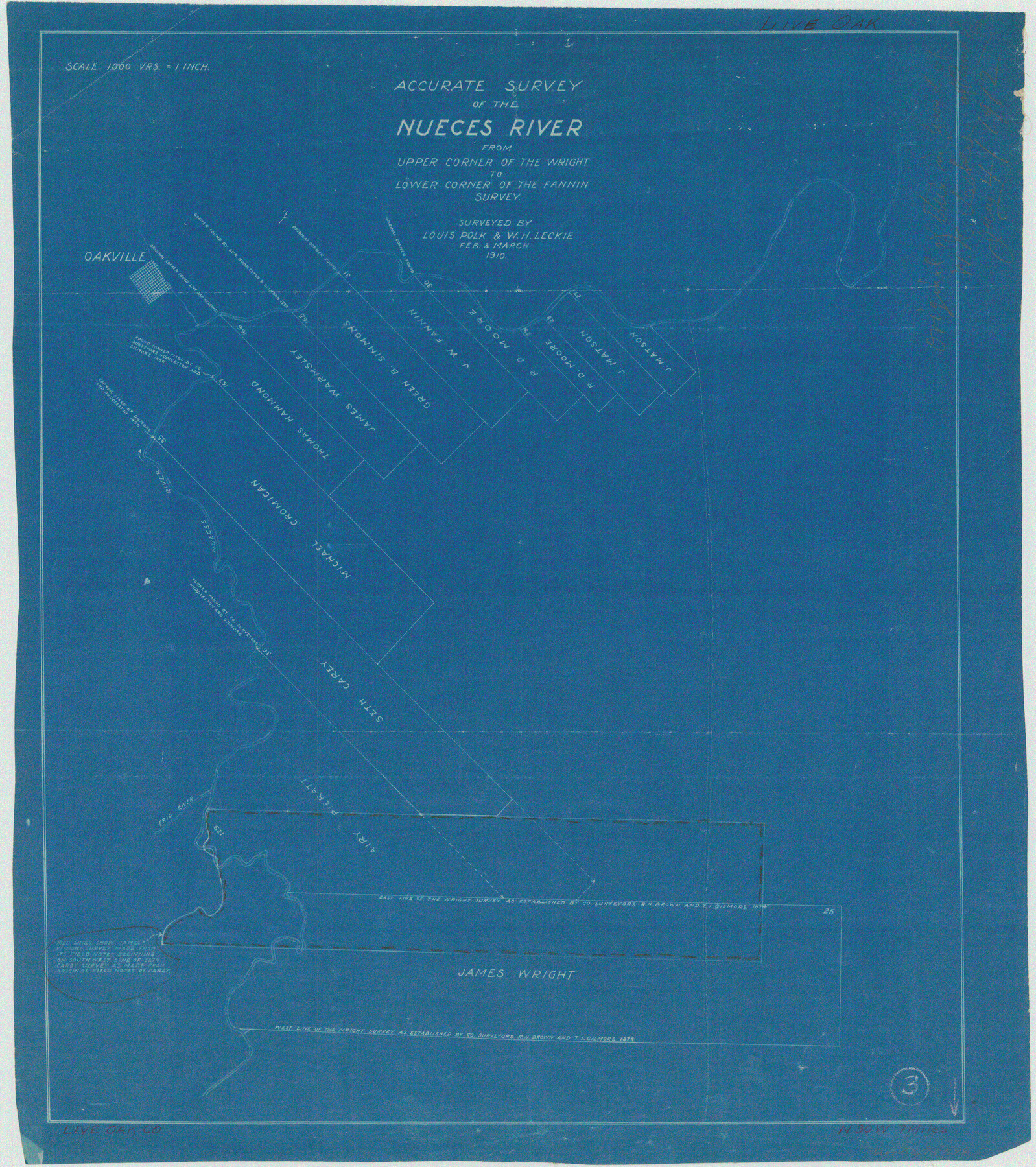
Live Oak County Working Sketch 3
Accurate survey of the Nueces River from upper corner of the Wright to lower corner of the Fannin survey
-
Map/Doc
70588
-
Collection
General Map Collection
-
Object Dates
2 & 3/1910 (Creation Date)
-
People and Organizations
Louis Polk (Surveyor/Engineer)
W.H. Leckie (Surveyor/Engineer)
-
Counties
Live Oak
-
Subjects
Surveying Working Sketch
-
Height x Width
21.5 x 19.0 inches
54.6 x 48.3 cm
-
Scale
1" = 1000 varas
Part of: General Map Collection
Jones County Rolled Sketch 4

Print $20.00
- Digital $50.00
Jones County Rolled Sketch 4
2022
Size 31.9 x 24.0 inches
Map/Doc 97150

Duval County Working Sketch 55

Print $20.00
- Digital $50.00
Duval County Working Sketch 55
1936
Size 25.7 x 21.6 inches
Map/Doc 68779
Baylor County Working Sketch 2

Print $20.00
- Digital $50.00
Baylor County Working Sketch 2
1919
Size 22.4 x 24.1 inches
Map/Doc 67287
Hudspeth County Working Sketch 33

Print $20.00
- Digital $50.00
Hudspeth County Working Sketch 33
1977
Size 26.8 x 21.4 inches
Map/Doc 66318
Tarrant County Sketch File 27

Print $4.00
- Digital $50.00
Tarrant County Sketch File 27
Size 8.0 x 9.6 inches
Map/Doc 37741
Hidalgo County Rolled Sketch 7

Print $20.00
- Digital $50.00
Hidalgo County Rolled Sketch 7
1905
Size 20.4 x 26.1 inches
Map/Doc 6208
Grayson County Working Sketch 1

Print $20.00
- Digital $50.00
Grayson County Working Sketch 1
1939
Size 10.8 x 17.7 inches
Map/Doc 63240
Schleicher County Sketch File 6

Print $4.00
- Digital $50.00
Schleicher County Sketch File 6
Size 8.1 x 8.5 inches
Map/Doc 36472
Map of the State of Texas engraved to illustrate Mitchell's school and family geography

Print $20.00
- Digital $50.00
Map of the State of Texas engraved to illustrate Mitchell's school and family geography
1846
Size 11.8 x 9.5 inches
Map/Doc 93498
Flight Mission No. CLL-1N, Frame 38, Willacy County

Print $20.00
- Digital $50.00
Flight Mission No. CLL-1N, Frame 38, Willacy County
1954
Size 18.4 x 22.1 inches
Map/Doc 87019
Pecos County Rolled Sketch ANL

Print $20.00
- Digital $50.00
Pecos County Rolled Sketch ANL
Size 31.5 x 38.4 inches
Map/Doc 7308
You may also like
Plat Showing Part of Block Y, W. D. and F. W. Johnson Subdivision Number 2; and Part of Block W, Edward K. Warren Subdivision Number 1

Print $20.00
- Digital $50.00
Plat Showing Part of Block Y, W. D. and F. W. Johnson Subdivision Number 2; and Part of Block W, Edward K. Warren Subdivision Number 1
1954
Size 23.3 x 17.4 inches
Map/Doc 92502
Hemphill County Sketch File 9

Print $26.00
- Digital $50.00
Hemphill County Sketch File 9
1955
Size 11.0 x 8.8 inches
Map/Doc 26312
Val Verde County Rolled Sketch 58

Print $20.00
- Digital $50.00
Val Verde County Rolled Sketch 58
1938
Size 17.9 x 22.4 inches
Map/Doc 8126
Anderson County Working Sketch 11a

Print $40.00
- Digital $50.00
Anderson County Working Sketch 11a
1933
Size 42.7 x 64.2 inches
Map/Doc 67011
K&E Paragon N4238 Compensating Polar Planimeter

K&E Paragon N4238 Compensating Polar Planimeter
1930
Size 1.5 x 9.3 inches
Map/Doc 97308
Plat Proposed Location of Highway From Plains to Intersect Lovington Highway on New Mexico State Line

Print $20.00
- Digital $50.00
Plat Proposed Location of Highway From Plains to Intersect Lovington Highway on New Mexico State Line
Size 44.2 x 17.3 inches
Map/Doc 92856
Dickens County Sketch File D1

Print $50.00
- Digital $50.00
Dickens County Sketch File D1
Size 13.0 x 19.4 inches
Map/Doc 20833
Madison County Working Sketch 1

Print $20.00
- Digital $50.00
Madison County Working Sketch 1
1913
Size 42.4 x 36.9 inches
Map/Doc 70763
Map of Denton County

Print $20.00
- Digital $50.00
Map of Denton County
1877
Size 20.7 x 18.6 inches
Map/Doc 3475
Aransas County Working Sketch 8

Print $20.00
- Digital $50.00
Aransas County Working Sketch 8
1947
Size 24.7 x 24.2 inches
Map/Doc 67175
Wichita County Working Sketch 13

Print $20.00
- Digital $50.00
Wichita County Working Sketch 13
1921
Size 16.5 x 32.8 inches
Map/Doc 72523
Yoakum County Sketch File 10a

Print $44.00
- Digital $50.00
Yoakum County Sketch File 10a
1928
Size 48.5 x 33.7 inches
Map/Doc 10437