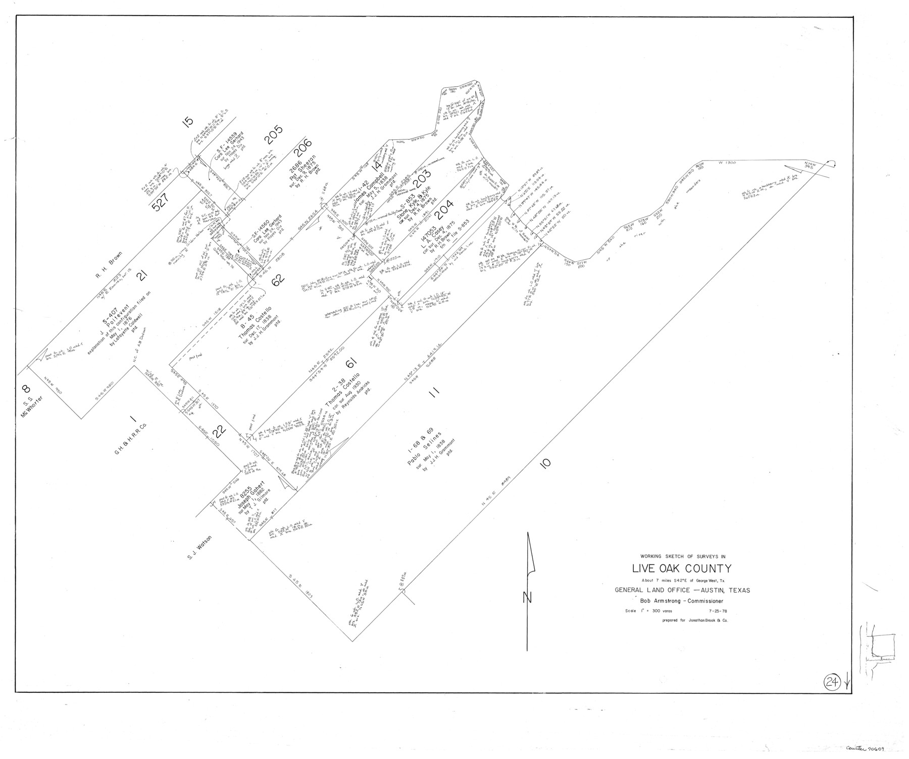
Live Oak County Working Sketch 24
-
Map/Doc
70609
-
Collection
General Map Collection
-
Object Dates
7/25/1978 (Creation Date)
-
Counties
Live Oak
-
Subjects
Surveying Working Sketch
-
Height x Width
31.9 x 38.2 inches
81.0 x 97.0 cm
-
Scale
1" = 300 varas
Part of: General Map Collection
Sectional Map No. 5 of the lands and of the line of the Texas & Pacific Ry. Co. in part of El Paso County

Print $20.00
- Digital $50.00
Sectional Map No. 5 of the lands and of the line of the Texas & Pacific Ry. Co. in part of El Paso County
1885
Size 22.5 x 17.9 inches
Map/Doc 2305
Polk County Rolled Sketch 33

Print $20.00
- Digital $50.00
Polk County Rolled Sketch 33
Size 26.5 x 38.5 inches
Map/Doc 7319
Flight Mission No. DAG-23K, Frame 13, Matagorda County

Print $20.00
- Digital $50.00
Flight Mission No. DAG-23K, Frame 13, Matagorda County
1953
Size 18.5 x 22.2 inches
Map/Doc 86475
Terrell County Sketch File 35

Print $36.00
- Digital $50.00
Terrell County Sketch File 35
1957
Size 32.0 x 37.6 inches
Map/Doc 10389
Flight Mission No. CUG-2P, Frame 8, Kleberg County

Print $20.00
- Digital $50.00
Flight Mission No. CUG-2P, Frame 8, Kleberg County
1956
Size 18.5 x 22.2 inches
Map/Doc 86180
[Overlay for Fractional Township No. 7 South Range No. 17 East of the Indian Meridian, Indian Territory]
![75230, [Overlay for Fractional Township No. 7 South Range No. 17 East of the Indian Meridian, Indian Territory], General Map Collection](https://historictexasmaps.com/wmedia_w700/maps/75230.tif.jpg)
Print $3.00
- Digital $50.00
[Overlay for Fractional Township No. 7 South Range No. 17 East of the Indian Meridian, Indian Territory]
Size 11.2 x 11.7 inches
Map/Doc 75230
Madison County

Print $20.00
- Digital $50.00
Madison County
1871
Size 14.0 x 19.6 inches
Map/Doc 3833
Upton County Working Sketch 60

Print $20.00
- Digital $50.00
Upton County Working Sketch 60
2012
Size 34.2 x 32.1 inches
Map/Doc 93387
Pecos County Rolled Sketch 165

Print $20.00
- Digital $50.00
Pecos County Rolled Sketch 165
1966
Size 23.4 x 19.6 inches
Map/Doc 7290
Orange County Working Sketch 47

Print $20.00
- Digital $50.00
Orange County Working Sketch 47
1987
Size 27.5 x 26.5 inches
Map/Doc 71379
Ward County Working Sketch 14

Print $20.00
- Digital $50.00
Ward County Working Sketch 14
1947
Size 30.3 x 28.8 inches
Map/Doc 72320
[Surveys in Austin's Colony along Buffalo Bayou and the San Jacinto River]
![207, [Surveys in Austin's Colony along Buffalo Bayou and the San Jacinto River], General Map Collection](https://historictexasmaps.com/wmedia_w700/maps/207.tif.jpg)
Print $20.00
- Digital $50.00
[Surveys in Austin's Colony along Buffalo Bayou and the San Jacinto River]
1824
Size 22.3 x 14.3 inches
Map/Doc 207
You may also like
Texas Coordinate File 4

Print $44.00
- Digital $50.00
Texas Coordinate File 4
Size 11.4 x 9.1 inches
Map/Doc 75308
Flight Mission No. BRE-2P, Frame 7, Nueces County

Print $20.00
- Digital $50.00
Flight Mission No. BRE-2P, Frame 7, Nueces County
1956
Size 18.5 x 22.4 inches
Map/Doc 86716

Wilbarger Co.

Print $40.00
- Digital $50.00
Wilbarger Co.
1907
Size 48.8 x 39.8 inches
Map/Doc 63127
Flight Mission No. DAG-23K, Frame 166, Matagorda County

Print $20.00
- Digital $50.00
Flight Mission No. DAG-23K, Frame 166, Matagorda County
1953
Size 15.9 x 19.1 inches
Map/Doc 86504
Maverick County Sketch File 16a

Print $9.00
- Digital $50.00
Maverick County Sketch File 16a
1886
Size 9.5 x 13.7 inches
Map/Doc 31117
Terrell County Sketch File 38

Print $6.00
- Digital $50.00
Terrell County Sketch File 38
1987
Size 11.3 x 8.8 inches
Map/Doc 38001
Dickens County, Texas

Print $20.00
- Digital $50.00
Dickens County, Texas
1891
Size 24.5 x 20.4 inches
Map/Doc 707
Armstrong County Sketch File 8

Print $8.00
- Digital $50.00
Armstrong County Sketch File 8
Size 14.2 x 8.8 inches
Map/Doc 13705
Crockett County Sketch File 42

Print $28.00
- Digital $50.00
Crockett County Sketch File 42
Size 12.8 x 8.4 inches
Map/Doc 19755
Morris County Working Sketch Graphic Index

Print $20.00
- Digital $50.00
Morris County Working Sketch Graphic Index
1948
Size 42.8 x 20.1 inches
Map/Doc 76649
DeWitt County Working Sketch 8

Print $20.00
- Digital $50.00
DeWitt County Working Sketch 8
1979
Size 35.7 x 41.9 inches
Map/Doc 68598