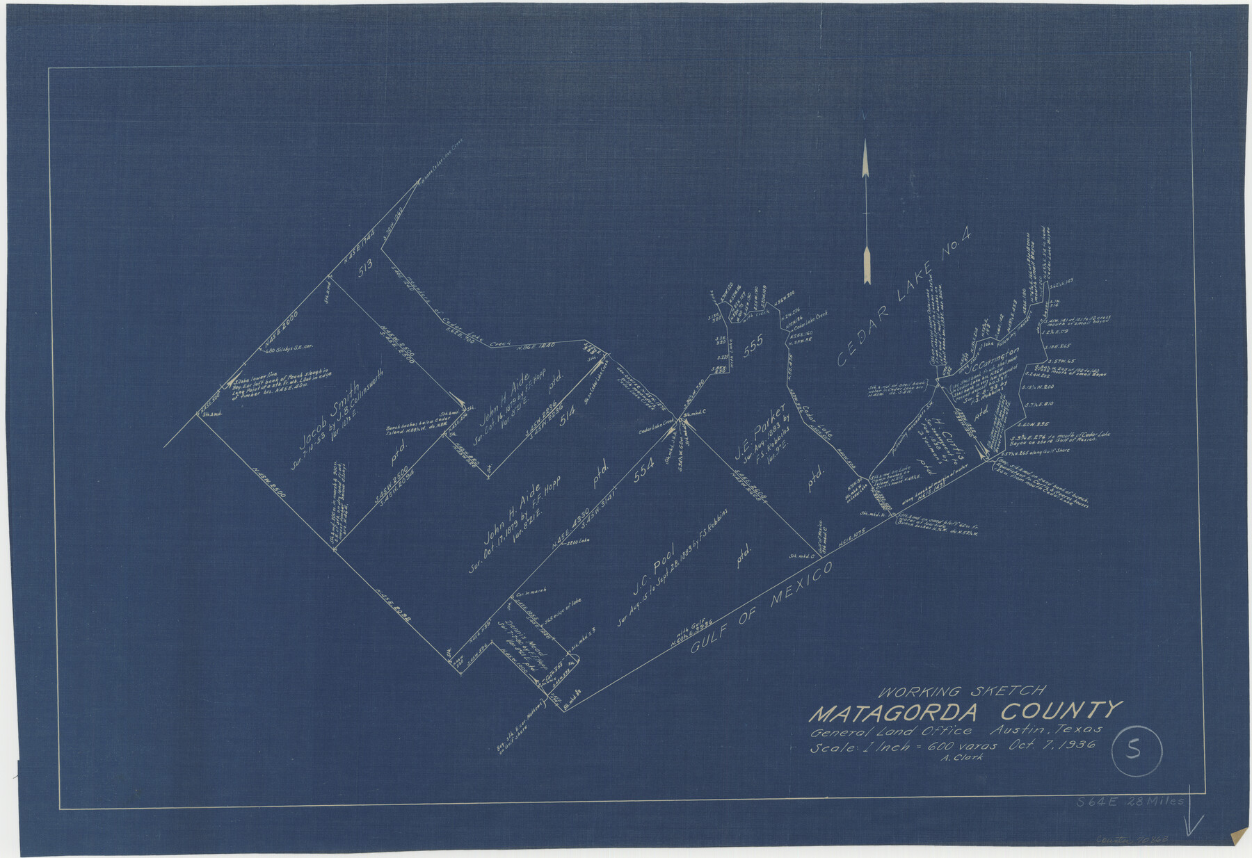
Matagorda County Working Sketch 5
-
Map/Doc
70863
-
Collection
General Map Collection
-
Object Dates
10/7/1936 (Creation Date)
-
People and Organizations
A. Clark (Draftsman)
-
Counties
Matagorda
-
Subjects
Surveying Working Sketch
-
Height x Width
18.4 x 26.9 inches
46.7 x 68.3 cm
-
Scale
1" = 600 varas
Part of: General Map Collection
Martin County Working Sketch 17

Print $20.00
- Digital $50.00
Martin County Working Sketch 17
1981
Size 32.4 x 41.4 inches
Map/Doc 70835
[Surveys along the Brazos River]
![261, [Surveys along the Brazos River], General Map Collection](https://historictexasmaps.com/wmedia_w700/maps/261.tif.jpg)
Print $2.00
- Digital $50.00
[Surveys along the Brazos River]
1847
Size 12.1 x 8.4 inches
Map/Doc 261
Galveston County Rolled Sketch JK

Print $40.00
- Digital $50.00
Galveston County Rolled Sketch JK
1913
Size 25.4 x 56.5 inches
Map/Doc 9092
St. Louis, Brownsville & Mexico Railway Location Map from Mile 0 to Mile 20

Print $40.00
- Digital $50.00
St. Louis, Brownsville & Mexico Railway Location Map from Mile 0 to Mile 20
1906
Size 19.5 x 74.5 inches
Map/Doc 64075
Tom Green County Sketch File 5

Print $42.00
- Digital $50.00
Tom Green County Sketch File 5
1849
Size 8.5 x 7.1 inches
Map/Doc 38167
Aransas County Rolled Sketch 21

Print $20.00
- Digital $50.00
Aransas County Rolled Sketch 21
Size 43.0 x 43.8 inches
Map/Doc 8415
Liberty County Sketch File 48

Print $6.00
- Digital $50.00
Liberty County Sketch File 48
1879
Size 12.2 x 8.3 inches
Map/Doc 30010
Crockett County Working Sketch 18

Print $20.00
- Digital $50.00
Crockett County Working Sketch 18
1919
Size 37.4 x 31.8 inches
Map/Doc 68351
Galveston Bay, Texas

Print $20.00
- Digital $50.00
Galveston Bay, Texas
1905
Size 24.8 x 18.5 inches
Map/Doc 65390
Flight Mission No. BRA-9M, Frame 65, Jefferson County

Print $20.00
- Digital $50.00
Flight Mission No. BRA-9M, Frame 65, Jefferson County
1953
Size 18.6 x 22.2 inches
Map/Doc 85648
Flight Mission No. DQO-1K, Frame 94, Galveston County

Print $20.00
- Digital $50.00
Flight Mission No. DQO-1K, Frame 94, Galveston County
1952
Size 18.9 x 22.6 inches
Map/Doc 84990

You may also like
Flight Mission No. BRA-7M, Frame 207, Jefferson County

Print $20.00
- Digital $50.00
Flight Mission No. BRA-7M, Frame 207, Jefferson County
1953
Size 18.6 x 22.3 inches
Map/Doc 85575
Map of the World on Mercator's Projection, flags of all nations and cities of the United States

Print $40.00
- Digital $50.00
Map of the World on Mercator's Projection, flags of all nations and cities of the United States
1874
Size 40.4 x 55.6 inches
Map/Doc 93914
Montgomery County Rolled Sketch 42

Print $20.00
- Digital $50.00
Montgomery County Rolled Sketch 42
1939
Size 13.9 x 20.2 inches
Map/Doc 6816
San Patricio County Rolled Sketch 20A

Print $20.00
- Digital $50.00
San Patricio County Rolled Sketch 20A
Size 25.9 x 30.3 inches
Map/Doc 7579
Haskell County Rolled Sketch 7

Print $20.00
- Digital $50.00
Haskell County Rolled Sketch 7
1940
Size 22.0 x 26.5 inches
Map/Doc 6167
Flight Mission No. CRK-3P, Frame 176, Refugio County

Print $20.00
- Digital $50.00
Flight Mission No. CRK-3P, Frame 176, Refugio County
1956
Size 18.3 x 22.2 inches
Map/Doc 86923
A Little Journey through the Lower Valley of the Rio Grande - The Magic Valley of Texas

A Little Journey through the Lower Valley of the Rio Grande - The Magic Valley of Texas
1928
Map/Doc 96741
General Highway Map, Atascosa County, Texas

Print $20.00
General Highway Map, Atascosa County, Texas
1940
Size 18.2 x 24.9 inches
Map/Doc 79008
Map of Llano County, Texas

Print $20.00
- Digital $50.00
Map of Llano County, Texas
1879
Size 24.6 x 22.9 inches
Map/Doc 568
Refugio County Working Sketch 12

Print $40.00
- Digital $50.00
Refugio County Working Sketch 12
1949
Size 42.6 x 48.2 inches
Map/Doc 63521
Tech Terrace an Addition to The City of Lubbock

Print $20.00
- Digital $50.00
Tech Terrace an Addition to The City of Lubbock
1946
Size 24.7 x 15.3 inches
Map/Doc 92712
General Highway Map, Pecos County, Texas

Print $20.00
General Highway Map, Pecos County, Texas
1961
Size 24.5 x 18.1 inches
Map/Doc 79627