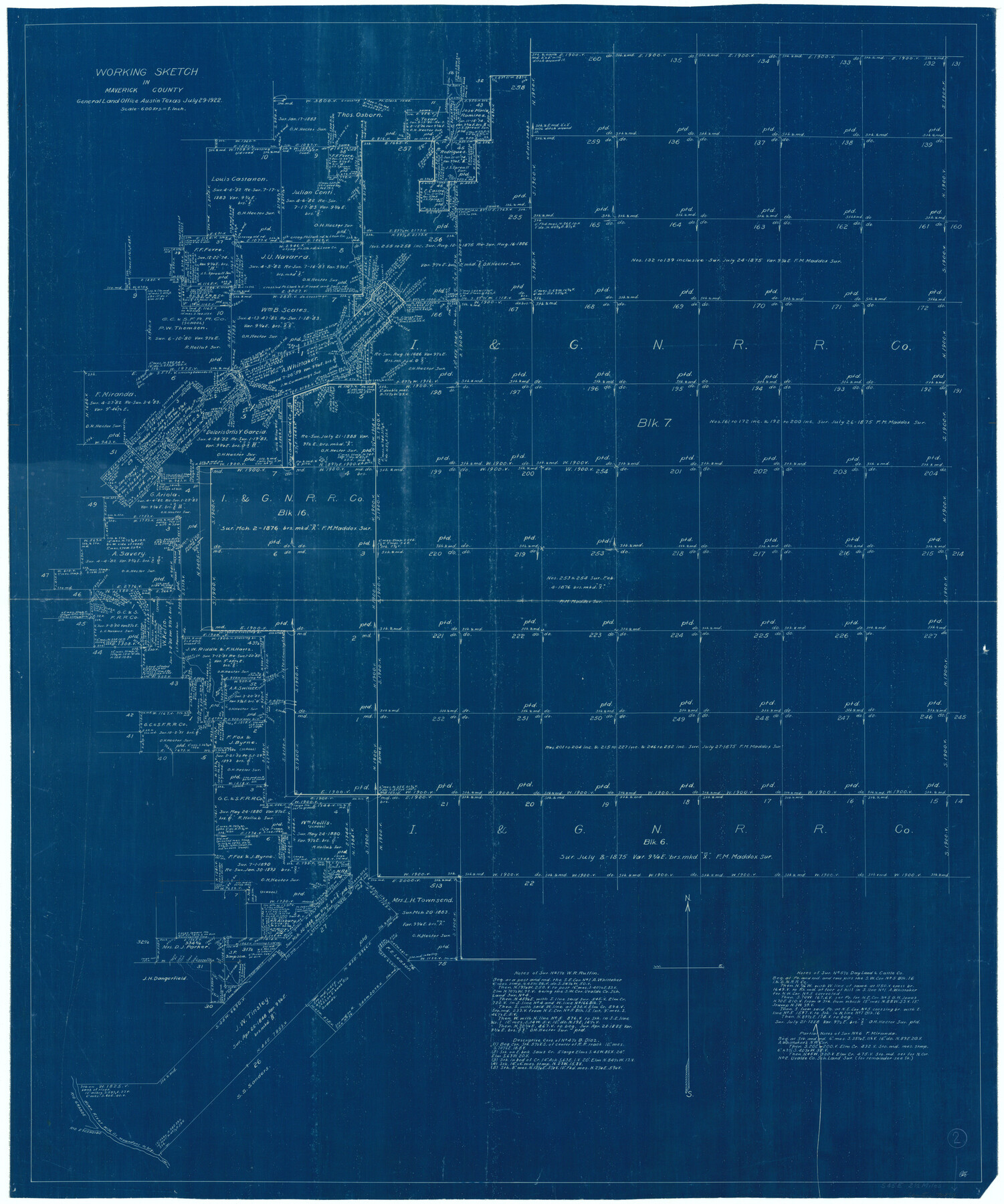
Maverick County Working Sketch 2
-
Map/Doc
70894
-
Collection
General Map Collection
-
Object Dates
7/29/1922 (Creation Date)
-
Counties
Maverick
-
Subjects
Surveying Working Sketch
-
Height x Width
46.2 x 38.5 inches
117.4 x 97.8 cm
-
Scale
1" = 600 varas
Part of: General Map Collection
Pecos County Rolled Sketch 176

Print $20.00
- Digital $50.00
Pecos County Rolled Sketch 176
1978
Size 14.1 x 33.6 inches
Map/Doc 7296
Bee County Working Sketch Graphic Index

Print $20.00
- Digital $50.00
Bee County Working Sketch Graphic Index
1950
Size 41.6 x 45.4 inches
Map/Doc 76464
[Bastrop District]
![83005, [Bastrop District], General Map Collection](https://historictexasmaps.com/wmedia_w700/maps/83005.tif.jpg)
Print $40.00
- Digital $50.00
[Bastrop District]
1895
Size 37.4 x 51.9 inches
Map/Doc 83005
Travis County Working Sketch 23

Print $20.00
- Digital $50.00
Travis County Working Sketch 23
1947
Size 23.1 x 30.1 inches
Map/Doc 69407
Donley County Sketch File B6

Print $20.00
- Digital $50.00
Donley County Sketch File B6
1919
Size 16.5 x 14.6 inches
Map/Doc 11376
Maps & Lists Showing Prison Lands (Oil & Gas) Leased as of June 1955

Digital $50.00
Maps & Lists Showing Prison Lands (Oil & Gas) Leased as of June 1955
1934
Size 35.6 x 32.3 inches
Map/Doc 62879
Gray County Working Sketch 1

Print $20.00
- Digital $50.00
Gray County Working Sketch 1
1957
Size 37.3 x 17.4 inches
Map/Doc 62196
Angelina County Working Sketch 30

Print $20.00
- Digital $50.00
Angelina County Working Sketch 30
1955
Size 26.2 x 27.7 inches
Map/Doc 67112
Hutchinson County Working Sketch 25

Print $20.00
- Digital $50.00
Hutchinson County Working Sketch 25
1972
Size 21.5 x 25.0 inches
Map/Doc 66385
Ward County Working Sketch 36

Print $40.00
- Digital $50.00
Ward County Working Sketch 36
1969
Size 49.8 x 48.9 inches
Map/Doc 72342
Edwards County Rolled Sketch 29

Print $40.00
- Digital $50.00
Edwards County Rolled Sketch 29
1974
Size 49.1 x 29.1 inches
Map/Doc 8847
Red River County Working Sketch 68

Print $20.00
- Digital $50.00
Red River County Working Sketch 68
1975
Size 20.8 x 26.0 inches
Map/Doc 72051
You may also like
Washington County Sketch File 2

Print $4.00
- Digital $50.00
Washington County Sketch File 2
1855
Size 8.3 x 12.5 inches
Map/Doc 39646
Pecos County Sketch File 88

Print $6.00
- Digital $50.00
Pecos County Sketch File 88
1934
Size 17.0 x 11.0 inches
Map/Doc 33984
Topographical Map of the Rio Grande, Sheet No. 6

Print $20.00
- Digital $50.00
Topographical Map of the Rio Grande, Sheet No. 6
1912
Map/Doc 89530
[William T. Brewer, John R. Taylor, M. McDonald, W. N. Raymond, and surrounding surveys]
![91031, [William T. Brewer, John R. Taylor, M. McDonald, W. N. Raymond, and surrounding surveys], Twichell Survey Records](https://historictexasmaps.com/wmedia_w700/maps/91031-1.tif.jpg)
Print $20.00
- Digital $50.00
[William T. Brewer, John R. Taylor, M. McDonald, W. N. Raymond, and surrounding surveys]
Size 29.1 x 25.5 inches
Map/Doc 91031
Newton County Working Sketch 39

Print $20.00
- Digital $50.00
Newton County Working Sketch 39
1961
Size 36.6 x 41.0 inches
Map/Doc 71285
Map of Randall County

Print $20.00
- Digital $50.00
Map of Randall County
1893
Size 26.5 x 20.0 inches
Map/Doc 73338
General Highway Map, Cameron County, Texas

Print $20.00
General Highway Map, Cameron County, Texas
1940
Size 18.4 x 25.3 inches
Map/Doc 79038
Rusk County Working Sketch 3

Print $2.00
- Digital $50.00
Rusk County Working Sketch 3
Size 6.3 x 12.2 inches
Map/Doc 63638
Eastland County Boundary File 1

Print $10.00
- Digital $50.00
Eastland County Boundary File 1
Size 11.1 x 8.5 inches
Map/Doc 52780
[Sketch for Mineral Application 27669 - Trinity River, Frank R. Graves]
![2858, [Sketch for Mineral Application 27669 - Trinity River, Frank R. Graves], General Map Collection](https://historictexasmaps.com/wmedia_w700/maps/2858-1.tif.jpg)
Print $40.00
- Digital $50.00
[Sketch for Mineral Application 27669 - Trinity River, Frank R. Graves]
1934
Size 28.3 x 83.2 inches
Map/Doc 2858
McLennan County Boundary File 4a

Print $8.00
- Digital $50.00
McLennan County Boundary File 4a
Size 14.1 x 8.6 inches
Map/Doc 56979
