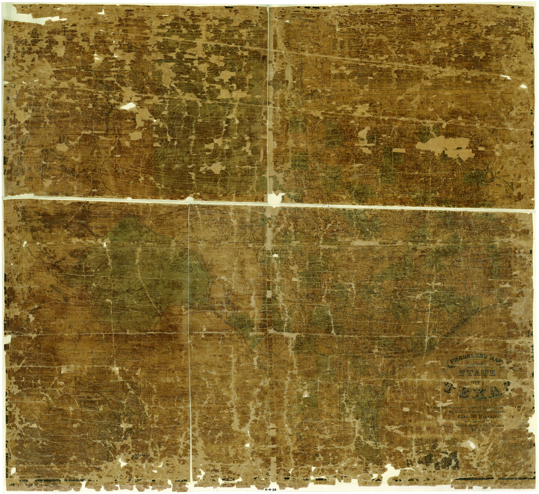
Pressler's Map of the State of Texas
Inset 1: Map of the Old Colonies / Inset 2: Map of Original Land Districts
K-4-26
-
Map/Doc
709
-
Collection
General Map Collection
-
Object Dates
1858 (Creation Date)
-
People and Organizations
Jones, Root & Co. (Publisher)
Chas. W. Pressler (Draftsman)
Stephen Crosby (GLO Commissioner)
Chas. W. Pressler (Compiler)
-
Subjects
State of Texas
-
Height x Width
47.6 x 51.9 inches
120.9 x 131.8 cm
-
Medium
paper, etching/engraving/lithograph
-
Comments
Map is in poor condition. See map 76232 for a better copy.
Related maps
Pressler's Map of the State of Texas

Print $40.00
Pressler's Map of the State of Texas
1858
Size 48.0 x 52.5 inches
Map/Doc 76232
Part of: General Map Collection
Taylor County Sketch File 6

Print $40.00
- Digital $50.00
Taylor County Sketch File 6
Size 40.1 x 55.0 inches
Map/Doc 10382
Motley County Sketch File 13 (N)

Print $10.00
- Digital $50.00
Motley County Sketch File 13 (N)
1911
Size 11.1 x 8.6 inches
Map/Doc 32043
Menard County

Print $20.00
- Digital $50.00
Menard County
1894
Size 32.5 x 42.1 inches
Map/Doc 66926
Coryell County Working Sketch 10

Print $20.00
- Digital $50.00
Coryell County Working Sketch 10
1949
Size 36.7 x 37.0 inches
Map/Doc 68217
Williamson County Sketch File 31

Print $14.00
- Digital $50.00
Williamson County Sketch File 31
1991
Size 11.2 x 8.4 inches
Map/Doc 40386
Harris County Working Sketch 94

Print $20.00
- Digital $50.00
Harris County Working Sketch 94
1978
Size 20.9 x 40.2 inches
Map/Doc 65986
Map of Falls County

Print $20.00
- Digital $50.00
Map of Falls County
1855
Size 21.4 x 23.9 inches
Map/Doc 3532
San Patricio County Rolled Sketch 29B

Print $20.00
- Digital $50.00
San Patricio County Rolled Sketch 29B
1936
Size 25.8 x 31.0 inches
Map/Doc 7582
Orange County Working Sketch 44

Print $20.00
- Digital $50.00
Orange County Working Sketch 44
1980
Size 16.5 x 22.0 inches
Map/Doc 71376
Coast Chart No. 210 Aransas Pass and Corpus Christi Bay with the coast to latitude 27° 12' Texas

Print $20.00
- Digital $50.00
Coast Chart No. 210 Aransas Pass and Corpus Christi Bay with the coast to latitude 27° 12' Texas
1913
Size 27.5 x 18.3 inches
Map/Doc 72799
Map of Liberty County

Print $40.00
- Digital $50.00
Map of Liberty County
1903
Size 54.9 x 53.6 inches
Map/Doc 16878
Zavala County Working Sketch 16

Print $20.00
- Digital $50.00
Zavala County Working Sketch 16
1977
Size 41.3 x 43.1 inches
Map/Doc 62091
You may also like
Map of the Reconnaissance in Texas by Lieuts Blake & Meade of the Corps of Topl. Engrs.

Print $20.00
- Digital $50.00
Map of the Reconnaissance in Texas by Lieuts Blake & Meade of the Corps of Topl. Engrs.
1845
Size 27.6 x 18.2 inches
Map/Doc 72894
Flight Mission No. CRC-4R, Frame 108, Chambers County

Print $20.00
- Digital $50.00
Flight Mission No. CRC-4R, Frame 108, Chambers County
1956
Size 18.7 x 22.4 inches
Map/Doc 84905
Plat of S. F. No. 12462, S. F. No. 12461, and Adjacent Sur.

Print $20.00
- Digital $50.00
Plat of S. F. No. 12462, S. F. No. 12461, and Adjacent Sur.
1922
Size 21.2 x 20.1 inches
Map/Doc 90172
Sketch Showing Surveys Made for W. R. Cartledge

Print $20.00
- Digital $50.00
Sketch Showing Surveys Made for W. R. Cartledge
1945
Size 17.3 x 13.8 inches
Map/Doc 60296
Packery Channel

Print $20.00
- Digital $50.00
Packery Channel
1975
Size 27.8 x 30.9 inches
Map/Doc 2994
The Coast of Texas

Print $20.00
- Digital $50.00
The Coast of Texas
1844
Size 18.3 x 26.9 inches
Map/Doc 72697
Pecos County Sketch File 120

Print $4.00
- Digital $50.00
Pecos County Sketch File 120
Size 14.3 x 8.7 inches
Map/Doc 34114
Martin County Working Sketch 4

Print $20.00
- Digital $50.00
Martin County Working Sketch 4
1953
Size 22.9 x 42.7 inches
Map/Doc 70822
[Public Domain Surrounded by Blocks Z, C4, C3, A2, 1]
![92427, [Public Domain Surrounded by Blocks Z, C4, C3, A2, 1], Twichell Survey Records](https://historictexasmaps.com/wmedia_w700/maps/92427-1.tif.jpg)
Print $20.00
- Digital $50.00
[Public Domain Surrounded by Blocks Z, C4, C3, A2, 1]
Size 22.5 x 26.3 inches
Map/Doc 92427

Fort Bend County Boundary File 1a

Print $8.00
- Digital $50.00
Fort Bend County Boundary File 1a
Size 12.9 x 8.1 inches
Map/Doc 53555
[Plat map of Provident City and surrounding] / Map showing the Gulf Coast Country and Railways and Water Shipping Facilities of the Provident Land Tract
![95819, [Plat map of Provident City and surrounding] / Map showing the Gulf Coast Country and Railways and Water Shipping Facilities of the Provident Land Tract, Cobb Digital Map Collection](https://historictexasmaps.com/wmedia_w700/maps/95819.tif.jpg)
Print $20.00
- Digital $50.00
[Plat map of Provident City and surrounding] / Map showing the Gulf Coast Country and Railways and Water Shipping Facilities of the Provident Land Tract
1908
Size 22.0 x 22.9 inches
Map/Doc 95819