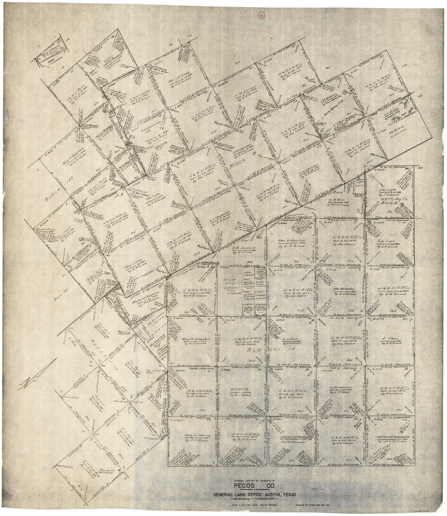
Pecos County Working Sketch 105
-
Map/Doc
71578
-
Collection
General Map Collection
-
Object Dates
3/18/1971 (Creation Date)
-
People and Organizations
Herbert H. Ulbricht (Draftsman)
-
Counties
Pecos
-
Subjects
Surveying Working Sketch
-
Height x Width
49.3 x 43.5 inches
125.2 x 110.5 cm
-
Scale
1" = 400 varas
Part of: General Map Collection
Map of Liberty County

Print $40.00
- Digital $50.00
Map of Liberty County
1841
Size 60.1 x 37.3 inches
Map/Doc 1951
Connected Map of Austin's Colony

Print $20.00
- Digital $50.00
Connected Map of Austin's Colony
1892
Size 47.3 x 43.3 inches
Map/Doc 76075
Presidio County Working Sketch 12

Print $20.00
- Digital $50.00
Presidio County Working Sketch 12
1941
Size 22.3 x 19.9 inches
Map/Doc 71687
San Augustine County Sketch File 13

Print $4.00
San Augustine County Sketch File 13
1875
Size 11.4 x 7.6 inches
Map/Doc 35658
Rusk County Working Sketch 36

Print $20.00
- Digital $50.00
Rusk County Working Sketch 36
2007
Size 31.7 x 36.0 inches
Map/Doc 83786
Map of University Land in McLennan County

Print $20.00
- Digital $50.00
Map of University Land in McLennan County
1905
Size 35.1 x 32.9 inches
Map/Doc 2432
Bandera County Sketch File 9

Print $2.00
- Digital $50.00
Bandera County Sketch File 9
Size 8.7 x 4.9 inches
Map/Doc 14009
Flight Mission No. BRA-8M, Frame 132, Jefferson County

Print $20.00
- Digital $50.00
Flight Mission No. BRA-8M, Frame 132, Jefferson County
1953
Size 18.7 x 22.3 inches
Map/Doc 85628
Hays County State Real Property Sketch 2

Print $20.00
- Digital $50.00
Hays County State Real Property Sketch 2
2006
Size 24.3 x 34.4 inches
Map/Doc 88619
Burnet County Sketch File 37

Print $2.00
- Digital $50.00
Burnet County Sketch File 37
1935
Size 10.1 x 8.2 inches
Map/Doc 16754
Grimes County Working Sketch 15

Print $20.00
- Digital $50.00
Grimes County Working Sketch 15
1988
Size 42.4 x 42.4 inches
Map/Doc 63306

You may also like
Liberty County Sketch File 37

Print $15.00
- Digital $50.00
Liberty County Sketch File 37
1895
Size 14.9 x 10.0 inches
Map/Doc 29976
Bastrop County Working Sketch 9

Print $20.00
- Digital $50.00
Bastrop County Working Sketch 9
1981
Size 44.9 x 43.7 inches
Map/Doc 67309
Matagorda Bay and Approaches

Print $20.00
- Digital $50.00
Matagorda Bay and Approaches
1961
Size 35.0 x 45.0 inches
Map/Doc 73382
Reagan County Working Sketch 37

Print $20.00
- Digital $50.00
Reagan County Working Sketch 37
1966
Size 34.3 x 45.1 inches
Map/Doc 71879
Houston County Working Sketch 28

Print $20.00
- Digital $50.00
Houston County Working Sketch 28
1988
Size 30.2 x 37.8 inches
Map/Doc 66258
Dawson County Boundary File 3 (3)

Print $60.00
- Digital $50.00
Dawson County Boundary File 3 (3)
Size 11.0 x 35.8 inches
Map/Doc 52369
Jefferson County Sketch File 44

Print $20.00
- Digital $50.00
Jefferson County Sketch File 44
1917
Size 22.8 x 32.9 inches
Map/Doc 11878
Red River County Working Sketch 54

Print $20.00
- Digital $50.00
Red River County Working Sketch 54
1971
Size 19.3 x 31.1 inches
Map/Doc 72037
Runnels County Boundary File 1a

Print $14.00
- Digital $50.00
Runnels County Boundary File 1a
Size 12.9 x 8.4 inches
Map/Doc 58507
Goliad County Sketch File 4

Print $6.00
- Digital $50.00
Goliad County Sketch File 4
1857
Size 7.7 x 12.3 inches
Map/Doc 24216
El Paso County Sketch File 6

Print $24.00
- Digital $50.00
El Paso County Sketch File 6
Size 13.4 x 8.8 inches
Map/Doc 21958
General Highway Map. Detail of Cities and Towns in Val Verde County, Texas [Del Rio and vicinity]
![79695, General Highway Map. Detail of Cities and Towns in Val Verde County, Texas [Del Rio and vicinity], Texas State Library and Archives](https://historictexasmaps.com/wmedia_w700/maps/79695.tif.jpg)
Print $20.00
General Highway Map. Detail of Cities and Towns in Val Verde County, Texas [Del Rio and vicinity]
1961
Size 18.0 x 24.8 inches
Map/Doc 79695